
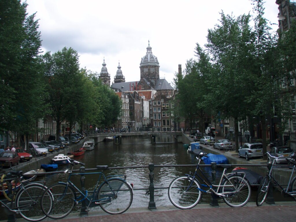
Dutch city breaks can look equally easy on a rail map while feeling very different once the walking starts. Haarlem compresses almost everything into a small pedestrian core, so transit becomes optional rather than essential. Amsterdam offers more visitor variety, but canals, busy cycle lanes, and crowded historic streets create extra friction. Utrecht sits between those patterns, pairing short central distances with a complex station threshold and two-level canal walking. Maastricht remains compact until the itinerary climbs south toward Fort Sint Pieter. Rotterdam and The Hague show the opposite lesson: excellent transit keeps both easy without making their visitor geography compact.
The Ranking: 6 Most Walkable Cities in the Netherlands
| Rank | City | Overall score | Strongest advantage | Main limitation |
|---|---|---|---|---|
| 1 (tie) | Amsterdam | 94/100 | Strongest transit plus exceptionally easy no-car arrival | Canal bridges, narrow pavements, bicycle crossings and crowds add friction |
| 1 (tie) | Haarlem | 94/100 | Exceptional compactness and pedestrian continuity | Smaller transit network offers less backup beyond the compact core |
| 1 (tie) | Utrecht | 94/100 | Compact canal core plus excellent rail arrival | Station complexity and two-level canal access add wayfinding and stair friction |
| 4 | Maastricht | 88/100 | Exceptionally compact historic center | Southern hills and weaker internal transit reduce effortless coverage |
| 5 (tie) | Rotterdam | 87/100 | Excellent transit and flat car-free mobility | Broad modern scale and river-separated visitor districts reduce compactness |
| 5 (tie) | The Hague | 87/100 | Compact center with excellent transit | Scheveningen forms a separate coastal visitor cluster |
Amsterdam, Haarlem and Utrecht are tied at 94/100 and share first place. Maastricht follows at rank 4 with 88/100, while Rotterdam and The Hague share fifth at 87/100. This comparison covers these six cities rather than every destination in the Netherlands.
Why Amsterdam, Haarlem and Utrecht All Rank First
The three leaders reach the same total through different strengths. Amsterdam combines a dense canal core with the deepest transit network in the group. Its Canal Ring, Jordaan and Nine Streets stay highly connected, but bridges, narrow pavements, crowds and bicycle crossings can slow first-time walkers. Trams and metro service make Museumplein, De Pijp and other longer extensions easy to add without wasting walking energy.
Haarlem reaches the same 94 from the opposite direction. Grote Markt, the museum streets, hofjes, the Spaarne and Haarlem Station fit into the tightest visitor geography in this comparison. Direct routes and strong pedestrian continuity mean a visitor can spend most of two days walking without planning around transit. The network is smaller than Amsterdam’s, but Haarlem needs it less often.
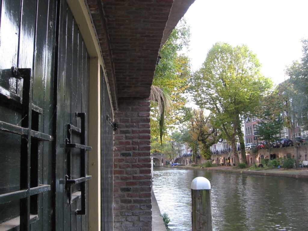
Utrecht is the middle path. Neude, Domplein, Oudegracht and the Museum Quarter form a compact, direct core, while Utrecht Centraal gives excellent car-free access. The tradeoff is local complexity rather than distance. Hoog Catharijne, elevated station approaches and the Oudegracht’s street-and-wharf levels can create stairs, level changes and first-arrival wayfinding friction.
What Separates Maastricht, Rotterdam and The Hague
Maastricht remains exceptionally compact in the historic center, but the weekend becomes more demanding once it extends south. Maastricht Centraal, Wyck, Sint Servaasbrug, Vrijthof, Markt and the Jeker quarter connect extremely well on foot. The difference appears when the weekend extends south. Fort Sint Pieter and Sint Pietersberg introduce real climbing, while internal transit offers less depth than the networks above it.
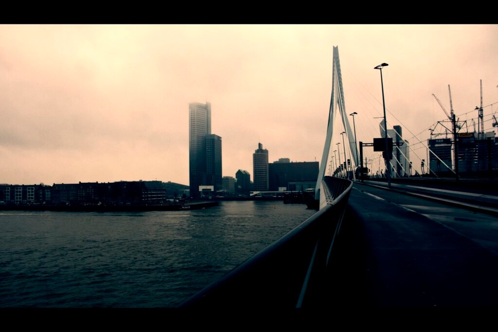
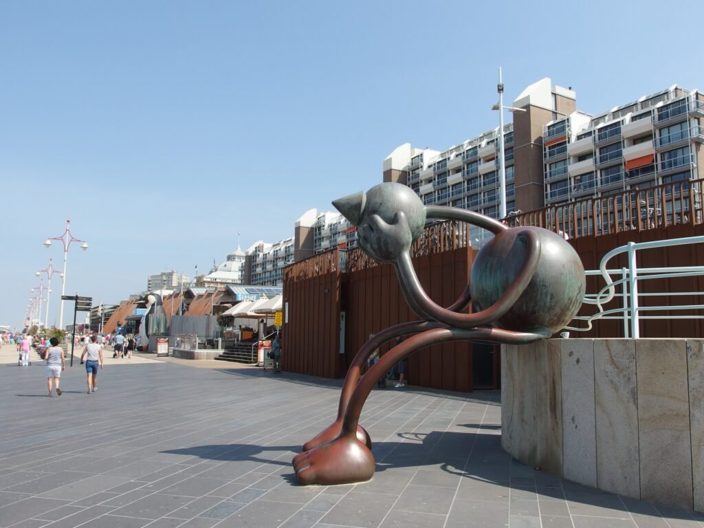
Rotterdam and The Hague share the same total, yet their visitor geography feels very different. Rotterdam spreads the visitor experience across a broad modern center, the Nieuwe Maas, Erasmus Bridge, Wilhelminapier and Katendrecht. The Hague keeps its central political, museum and shopping district tighter, but Scheveningen sits several kilometers away as a separate coastal outing. In both cities, excellent transit makes the weekend easy without making the destination compact on foot.
Best Dutch City by Traveler Priority
| Traveler priority | Best fit | Why |
|---|---|---|
| Maximum compactness | Haarlem | The densest overall visitor geography and strongest neighborhood continuity in this six-city set. |
| Strongest transit | Amsterdam | Amsterdam offers the deepest network for adding outer visitor districts without long transfer walks |
| Easiest car-free arrival | Amsterdam, Haarlem, Utrecht and Maastricht | All four make car-free arrival especially straightforward, so the better choice depends on the experience you want after arrival. |
| Easiest terrain | Amsterdam, Haarlem, Utrecht, Rotterdam and The Hague | All five are essentially flat on normal visitor routes; Maastricht is the only one where sustained climbing becomes a meaningful part of the weekend. |
| Canal-city walking | Utrecht for walking-first; Amsterdam for variety | Utrecht keeps its canal core tighter, while Amsterdam adds more districts and stronger transit at the cost of more pedestrian friction. |
| Waterfront walking | Rotterdam | Erasmus Bridge, Wilhelminapier and Katendrecht create the clearest extended riverfront walking sequence. |
| Historic-center walking | Haarlem and Maastricht | Both concentrate headline sightseeing tightly; Haarlem is flatter, while Maastricht’s southern extensions introduce hills. |
| Minimize transit use | Haarlem | Most first-time sightseeing fits naturally into short, connected walking loops from the station and historic center. |
Compact Does Not Mean the Same Thing as Easy Without a Car
Haarlem is the clearest example of a city that is both compact and easy without a car. Rotterdam proves those ideas can separate. Its metro, trams and rail make a weekend simple, yet the river and broad modern scale still create longer pedestrian transfers. The Hague works similarly when Scheveningen enters the plan. Strong transit removes the need to drive, but it does not turn the beach into part of the central walking core.
Amsterdam shows a subtler version of the same distinction. Its central visitor geography is genuinely compact, but the city offers enough worthwhile extensions that transit becomes valuable sooner than in Haarlem. Utrecht stays closer to a walking-first model because its main historic districts remain tightly connected. Maastricht can also be mostly walked, provided the hillier southern sights are treated as a separate effort rather than another flat center loop.
Walking Friction: Bikes, Bridges, Stairs and Hills
Excellent cycling infrastructure does not automatically make a street effortless to walk. Amsterdam shows the clearest pedestrian tradeoff: bicycle lanes, tram tracks, canal bridges and heavy foot traffic create multiple movement layers. Haarlem and Utrecht also require attention around cycle flows, but their compact cores provide more direct pedestrian continuity. Utrecht adds a different constraint at Oudegracht, where lower wharves can require stairs and level changes.
Maastricht is the only city here where sustained terrain becomes a meaningful weekend-planning factor. The central Maas valley remains comfortable, but the approach toward Fort Sint Pieter and Sint Pietersberg changes the effort. Rotterdam and The Hague are much flatter. Their walking limitations come from distance, crossings, large-scale geometry and separated visitor clusters rather than climbing.
Transit and Arrival: Where the Network Changes the Trip
Amsterdam has the deepest transit network in this group, which is especially useful because its visitor areas extend beyond the canal core. Rotterdam and The Hague also use transit extremely well to bridge larger geographic gaps. Utrecht has strong transit, although most central sightseeing remains faster on foot. Haarlem needs its smaller local network less often because the main visitor areas sit so close together.
Car-free arrival is straightforward across all six cities. Amsterdam, Haarlem, Utrecht and Maastricht are particularly easy to enter without driving. Rotterdam and The Hague also work very well, although their typical gateway-to-center journey is slightly less direct.
Which Dutch City Should You Choose?
Choose Haarlem when you want the smallest amount of transfer planning and the highest share of sightseeing on foot. Choose Amsterdam when you want the widest variety and the strongest transit backup. Utrecht is the best compromise for a compact canal weekend with excellent rail access. Maastricht suits travelers who value a tight historic center and do not mind one hillier outing. Rotterdam is the waterfront choice, while The Hague best combines a compact center with a separate beach day.
Bottom Line
Amsterdam, Haarlem and Utrecht share first place but suit different trips. Haarlem is the purest walking-first choice, Amsterdam offers the strongest transit-supported variety, and Utrecht sits between them with a compact canal core and excellent rail access. Maastricht remains highly walkable but adds more hills and has less transit depth. Rotterdam and The Hague are equally easy without a car, yet both reward more deliberate transit use because their main visitor areas are less compact.