
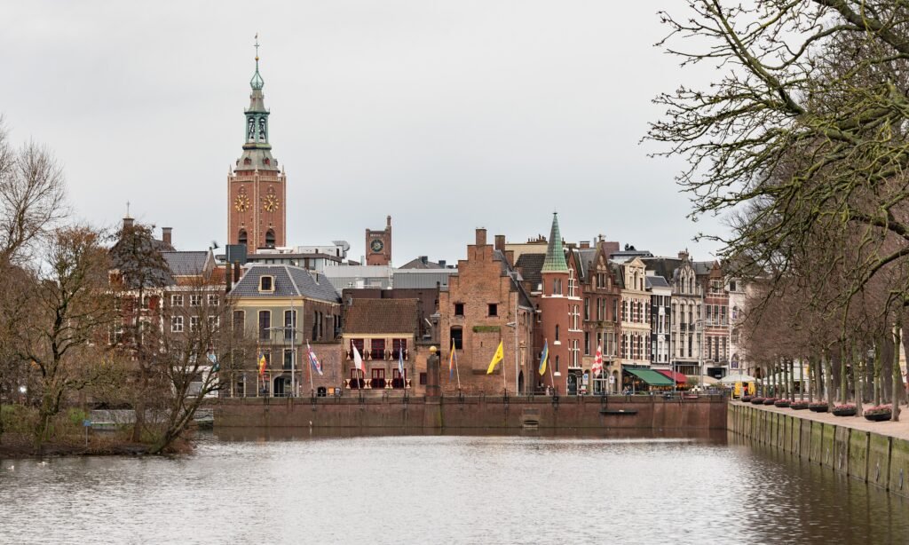
West of Den Haag Centraal, much of The Hague’s first-time sightseeing fits into a compact central band. Within that band, political landmarks, museums, royal streets and major shopping areas sit only minutes apart. The walking experience changes at the edges, where broad roads, green spaces and secured compounds can lengthen otherwise short routes. Scheveningen is a different geography altogether, separated from the center by several kilometers of urban fabric. That split defines the city: excellent central walking, strong tram support, and a coast best treated as a separate outing.
Why The Hague Works Well on Foot
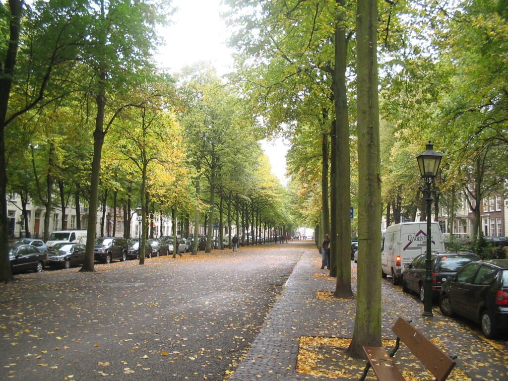
The strongest walking zone begins almost immediately after Den Haag Centraal. Mauritshuis places the historic and political core about a ten-minute walk from the station. From there, Hofvijver, the Museum Quarter, Lange Voorhout, De Passage and Noordeinde fit into a compact central network. Several core shopping streets are pedestrianized or strongly car-restricted, which makes browsing easier despite busy tram and cycle movements. The Peace Palace sits farther west but remains practical on foot from Noordeinde. Scheveningen should be treated separately because the coastline is too distant to count as part of this central walking cluster.
Best Areas to Stay for Walking
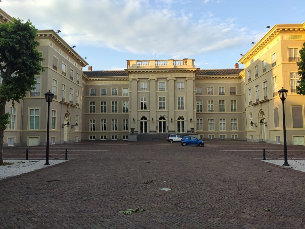
For a first visit, the Museum Quarter, Hofkwartier and the central shopping streets offer the best balance. These areas keep Mauritshuis, Hofvijver, Lange Voorhout, Noordeinde and evening dining within easy walking range. Staying near Den Haag Centraal is also practical, especially with luggage or day trips by train. Scheveningen works better for travelers who prioritize the beach, but it turns most central sightseeing into a tram trip. A coast-first hotel therefore changes the trip pattern even though the city remains easy without a car.
Useful Walking Times
Den Haag Centraal to Mauritshuis: about 10 minutes, according to the museum.
Den Haag Centraal to Noordeinde: about 15 minutes, according to the official visitor site.
Mauritshuis to Prince William V Gallery at Buitenhof: about 5 minutes, according to Mauritshuis.
Mauritshuis to Lange Voorhout: roughly 5–7 minutes on foot.
Noordeinde Palace to Peace Palace: roughly 15–20 minutes on foot.
Den Haag Centraal to Scheveningen: roughly 15 minutes by public transport, not a central sightseeing walk.
A 2-Day Walking Route
These two days keep central sightseeing and the coast in separate, efficient clusters. Day 1 walks west through the strongest continuous central network. The second day uses one tram repositioning before a linear coastal walk, avoiding several kilometers of lower-value transfer walking.
Day 1: Central The Hague to the Peace Palace
Walking route
Day 1: Central government, museums, royal streets and Peace Palace
- Den Haag Centraal
- Mauritshuis
- Hofvijver
- Binnenhof Viewpoint
- Lange Voorhout
- Noordeinde Palace
- Palace Garden
- Peace Palace
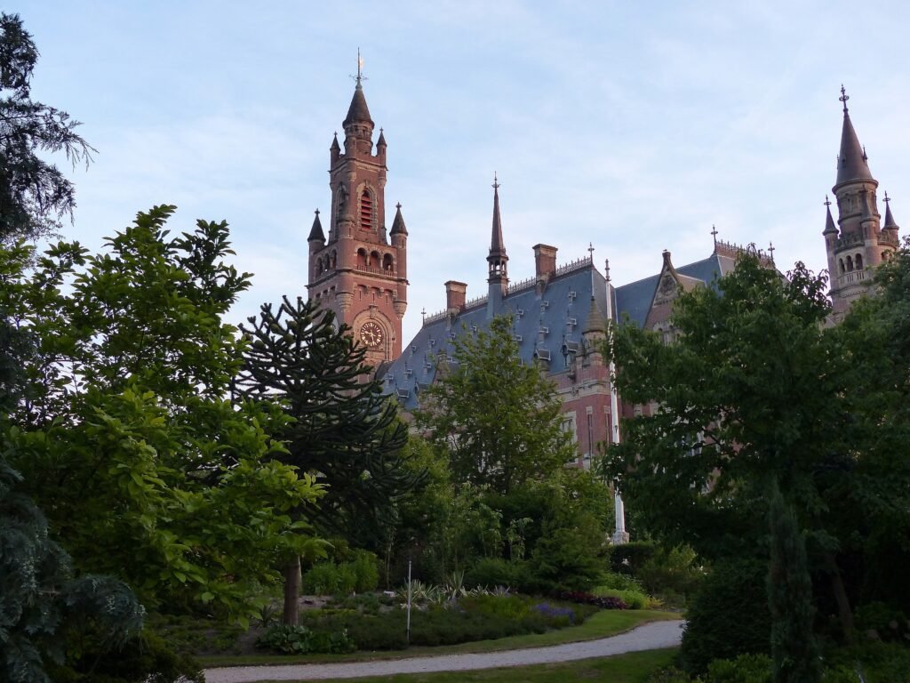
Start at Den Haag Centraal and walk to Mauritshuis, then follow the Hofvijver toward the Binnenhof area. Continue through Lange Voorhout and Noordeinde before passing the Palace Garden. Finish at the Peace Palace, which marks a natural western edge to the central visitor walk. De Passage and Grote Marktstraat remain easy central side trips without forcing the route to zigzag.
Current planning note: The Binnenhof is undergoing a major renovation currently expected to continue until 2031, so pedestrian routes around the complex can change. Check local signs when walking through the area
Day 2: Scheveningen Beach and Harbor
Walking route
Day 2: Scheveningen coast
- Zwarte Pad
- Scheveningen Pier
- Kurhaus
- Museum Beelden aan Zee
- Keizerstraat
- Scheveningen Harbor
Take tram 9 from Den Haag Centraal to Zwarte Pad before beginning the mapped walk. Walk south to the pier and Kurhaus, then continue toward Museum Beelden aan Zee and Keizerstraat. Finish around Scheveningen Harbor and use transit for the return. This makes the coast a distinct walking day rather than forcing an inefficient center-to-beach trek.
When Transit Helps
Transit matters most when the itinerary leaves the central government and museum district. Tram 9 is the clearest visitor link between Den Haag Centraal and Scheveningen, serving Madurodam, Circustheater and Kurhaus on the way. Official visitor guidance lists several other tram and bus options to the coast, with service throughout normal visitor hours. OVpay makes occasional rides simple: tap the same contactless card or phone when checking in and out. Friday and Saturday night buses extend coverage later, although their frequency is much lower than daytime service.
Arriving Without a Car
Den Haag Centraal is an unusually convenient arrival point because it sits beside the main visitor core. Amsterdam Airport Schiphol has direct trains to The Hague around the clock, often without requiring a change. Schiphol’s railway station is directly below the terminal, which keeps the airport transfer straightforward. Rotterdam The Hague Airport is closer geographically but less direct by public transport. From Den Haag Centraal, travelers take metro line E to Meijersplein and transfer to bus 33 for the airport.
When a Car Helps
A private car adds little to a standard weekend focused on central The Hague and Scheveningen. Parking and restricted central streets can make driving less convenient than walking and trams. A car becomes more useful for dispersed coastal nature stops, rural South Holland destinations or a multi-stop regional road trip. Nearby cities such as Delft, Leiden and Rotterdam are strong rail trips, so they do not justify renting a car by themselves.
Where Walking Gets Less Seamless
The central pedestrian experience is good, but it is not uniformly intimate. Broad roads and major junctions around the station, Malieveld and the center’s edges require more deliberate crossings. Trams and busy cycle lanes add another movement layer that first-time visitors need to read carefully. Hofvijver, palace grounds, government security and green spaces can also turn a short straight-line distance into a less direct route. The ongoing Binnenhof renovation can also create local detours around the political center.
Seasonal Walking Note
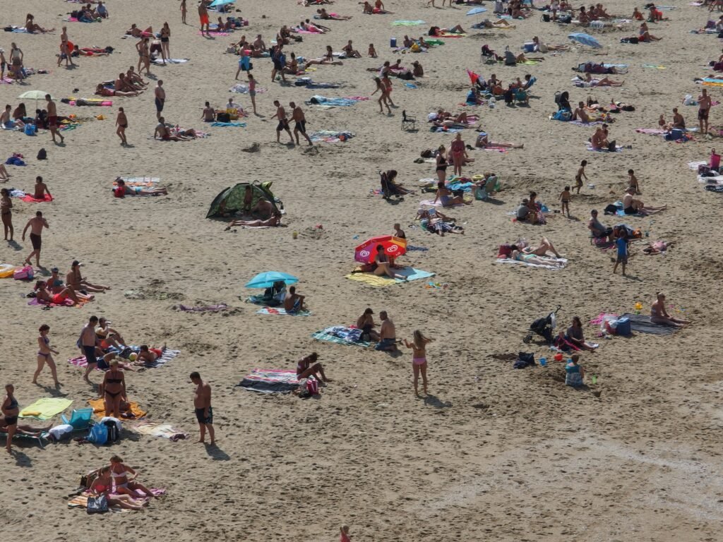
The Hague is flat, but the North Sea changes how the same distance can feel. Scheveningen is exposed to wind, rain and cooler coastal conditions, while the central streets offer more shelter. Summer beach crowds can also slow promenade walking.
Bottom Line
The Hague is strongest when you think in two visitor geographies. Walk the government, museum, shopping and royal center as one compact district, then use a tram for Scheveningen. That approach preserves the city’s genuine walking strengths without understating the coast’s separation. For a typical two- or three-day city break, a car is unnecessary.