
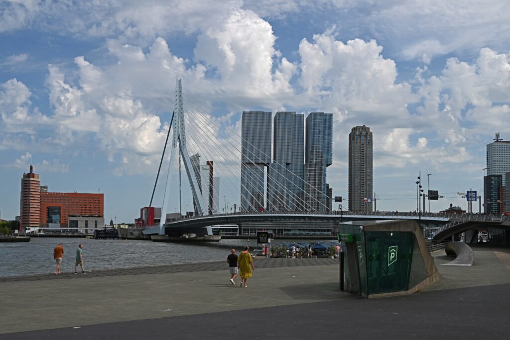
Across a rebuilt center and two riverbanks, Rotterdam spreads its visitor map rather than concentrating it in one historic core. Coolsingel, Museumpark, Witte de Withstraat, Markthal, Cube Houses, and Oude Haven still form a practical central walking network. The official city walk connects many of these sights within a roughly seven-kilometer circuit. South of the Nieuwe Maas, Erasmus Bridge extends that network toward Wilhelminapier and Kop van Zuid. Katendrecht sits farther again, making transit useful even though the route remains fully possible on foot. Flat terrain helps, but Rotterdam’s spacious postwar streets can make short map distances feel longer.
Why Rotterdam Works Well on Foot
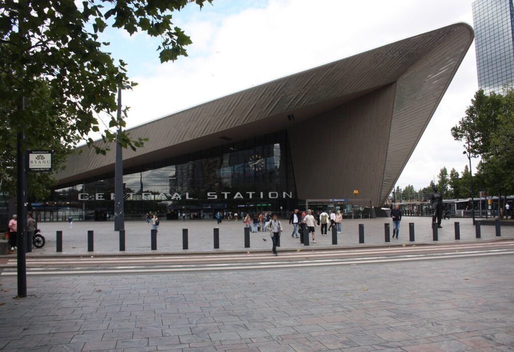
The strongest walking chain starts at Rotterdam Centraal and runs through Westersingel, Museumpark, Witte de Withstraat, Coolsingel and Blaak. Markthal, the Cube Houses and Oude Haven then sit almost beside one another. Visit Rotterdam’s own introductory route covers roughly seven kilometers, showing how much of the center fits into one purposeful walk. Coolsingel also works better for pedestrians than its old traffic-road role suggests. The city has been reshaping it as a boulevard with more space for people on foot.
The river changes the calculation. Erasmus Bridge is a genuine pedestrian link, not merely a skyline landmark, and it makes Kop van Zuid reachable on foot. However, the bridge crossing and Wilhelminapier add real mileage. Katendrecht extends the walk again beyond Rijnhaven. For longer waterfront loops, Willemsbrug and Noordereiland provide another pedestrian connection toward the south side. That is why Rotterdam can be exceptionally easy without a car while remaining less compact than many historic European centers.
Where to Stay for the Most Walkable Weekend
Rotterdam Centraal and Coolsingel make the easiest first-time base. You start close to the main rail gateway, central shopping streets and several metro lines. Museumpark and Witte de Withstraat suit travelers prioritizing museums, restaurants and evening activity. Blaak and Oude Haven put Markthal and the Cube Houses outside your door. Kop van Zuid offers stronger river views and architecture, but north-bank sightseeing requires a bridge crossing or metro ride.
Realistic Walking Times
Use these as planning ranges rather than exact promises. Rotterdam Centraal to Museumpark is roughly 15–20 minutes. Centraal to Markthal is about 20–25 minutes. Museumpark to Witte de Withstraat takes around 5–10 minutes, while Witte de Withstraat to Markthal is about 15. Markthal, the Cube Houses and Oude Haven are only a few minutes apart. From the north end of Erasmus Bridge, allow about 20 minutes to Hotel New York. Hotel New York to Fenix takes roughly 10–15 minutes.
Walking all the way from Rotterdam Centraal to central Katendrecht can approach an hour once normal crossings and route choices are included. That is possible on a flat day, but it is rarely the best use of a short weekend. The metro lets you spend those steps on the riverfront, Wilhelminapier and Katendrecht instead.
A 2-Day Walking Route
These two days avoid the common mistake of zigzagging across the Nieuwe Maas. Day 1 stays inside Rotterdam’s strongest central walking network. For the second day, a short metro repositioning leads into the bridge and south-bank walking experience.
Day 1: Centraal, Museumpark, Witte de With and Blaak
Walking route
Day 1: Centraal, Museumpark, Witte de With and Oude Haven
- Rotterdam Centraal
- Depot Boijmans Van Beuningen
- Witte de Withstraat
- Coolsingel
- Markthal
- Cube Houses
- Oude Haven
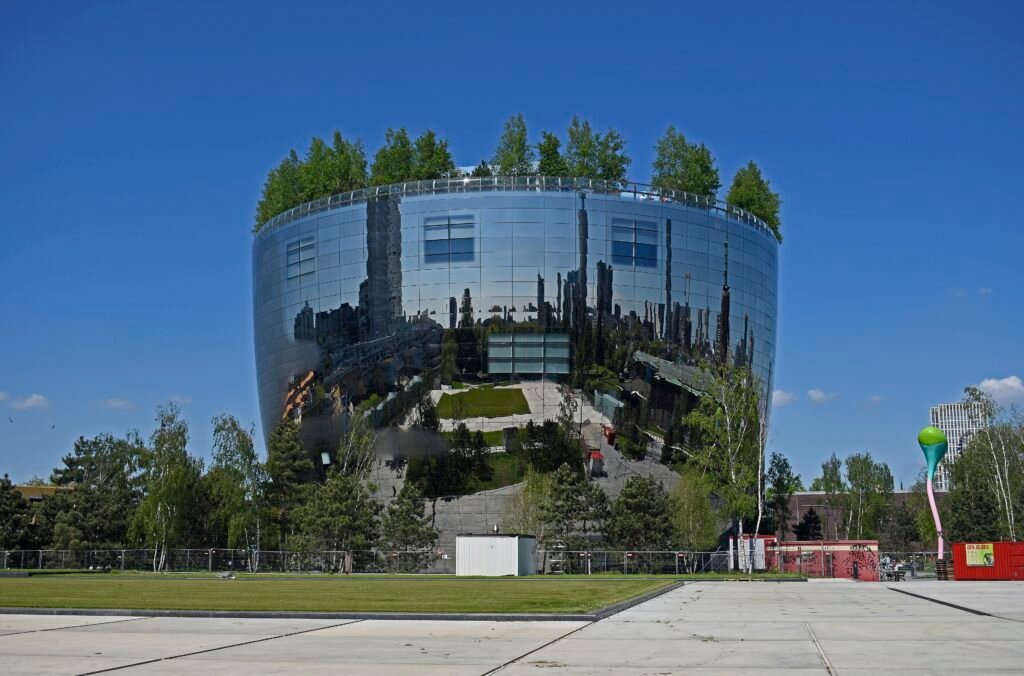
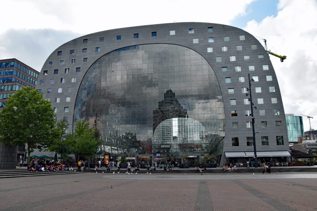
Start at Rotterdam Centraal and follow Westersingel toward Museumpark. Depot Boijmans Van Beuningen makes an obvious visual anchor, and the wider museum district keeps several cultural stops together. Continue through Witte de Withstraat before turning toward Coolsingel. From there, move east to Markthal rather than returning north. The Cube Houses and Oude Haven sit immediately beyond, creating an efficient final cluster. Finish around Blaak, where metro and rail connections remove any need to retrace the entire route to your hotel.
Day 2: Erasmus Bridge, Kop van Zuid and Katendrecht
Walking route
Day 2: Nieuwe Maas, Erasmus Bridge, Kop van Zuid and Katendrecht
- Willemsplein
- Erasmus Bridge
- Wilhelminaplein
- Wilhelminapier
- Hotel New York
- Rijnhavenbrug
- Fenix
- Deliplein
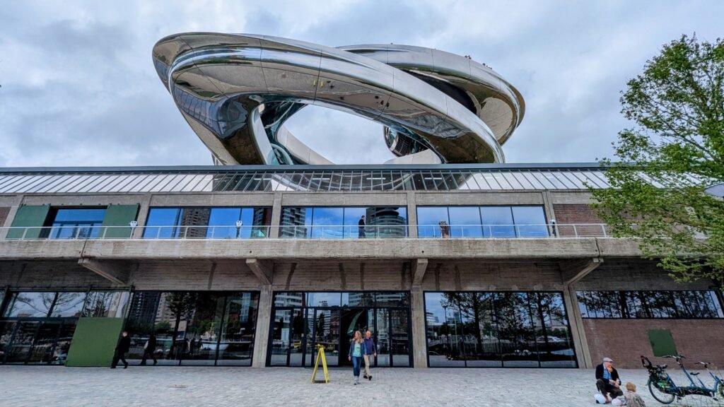
Take the metro from Rotterdam Centraal to Leuvehaven, or walk there from a central hotel. Begin beside the Nieuwe Maas at Willemsplein and cross Erasmus Bridge on foot. Continue through Wilhelminaplein and along Wilhelminakade, with De Rotterdam and the skyline shaping the route. Hotel New York marks the end of Wilhelminapier. From there, cross Rijnhavenbrug into Katendrecht for Fenix and Deliplein. Return by metro from Rijnhaven, or use a Watertaxi connection when its schedule suits your day.
How to Use Metro, Trams and Water Transport
RET’s metro is Rotterdam’s most useful partner for walking. The network directly serves Centraal, Beurs, Blaak, Leuvehaven, Wilhelminaplein and Rijnhaven, covering both sides of the river. That makes it easy to skip low-value mileage without turning every short hop into a ride. OVpay simplifies occasional use because visitors can tap compatible contactless cards or mobile devices on metro, tram and bus services.
Water transport is optional rather than essential. Watertaxi is especially useful for turning a south-bank walk into a one-way route. Its weekend Parklijn links Katendrechtse Hoofd, Hotel New York and Parkkade on a published half-hour pattern. For a short first visit, treat boats as a scenic supplement to the metro rather than the backbone of the itinerary.
Arrival Without a Car
Rotterdam Centraal is one of the city’s strongest car-free advantages. Domestic and international rail passengers arrive directly beside the central visitor area. Direct Eurostar services also connect Rotterdam with major cities including Brussels and Paris. For travelers flying into Schiphol, NS lists about 26 minutes to Rotterdam Centraal on Intercity direct. The fastest Schiphol service requires an additional Intercity direct supplement.
Rotterdam The Hague Airport is closer but does not have a rail station inside the terminal. The airport publishes a public-transport trip of within about 30 minutes from Rotterdam Centraal. You can use bus 33 directly or take metro E to Meijersplein and transfer to bus 33. OVpay works on the connection, keeping the arrival manageable without a car.
The Main Walking Limitations
Rotterdam’s biggest walking limitation is distance created by urban form. Broad boulevards and large blocks are often easy to walk, yet they spread attractions farther apart. Major intersections also feel less intimate than pedestrian streets around Lijnbaan or Oude Haven. Bicycle lanes and tram tracks add another layer of attention at crossings, even where sidewalks are continuous.
The Nieuwe Maas is the second major walking constraint. Erasmus Bridge solves connectivity better than a ferry-only crossing would, but the river still separates sightseeing clusters. Reaching Katendrecht after the bridge adds another meaningful leg. Strong transit fixes the time problem, but it does not make those places physically closer.
When a Car Becomes Useful
A private car adds little to a standard 2–3 day Rotterdam visit. Parking and central traffic rarely improve a route built around Centraal, Museumpark, Blaak and the river. Rail also makes nearby Dutch cities straightforward extensions. A car becomes more useful for a multi-stop regional trip involving dispersed countryside, coastal areas or industrial-port destinations that do not align with direct public transport.
Practical Tips for Walking Rotterdam
Group sightseeing by bank and district instead of chasing individual landmarks across the city. Use Blaak as one compact cluster, Museumpark and Witte de Withstraat as another, and save the south bank for one dedicated half-day. Cross Erasmus Bridge once, then return by metro or water taxi. At large junctions, follow pedestrian signals carefully and watch for bicycle lanes before stepping off the curb.
Seasonal Walking Note
Rotterdam’s flat terrain keeps walking effort predictable, but the riverfront and bridges are exposed. Wind and rain can make long waterfront stretches feel tougher than their elevation suggests. Spring and fall reward layers and a compact rain shell. Summer gives long daylight for river routes, while winter shortens comfortable sightseeing hours.
Bottom Line
Rotterdam works best as a walking-and-transit city rather than a pure walk-everywhere destination. The center supports a strong full-day walking network, and Erasmus Bridge extends it convincingly across the Nieuwe Maas. Kop van Zuid remains easy to add on foot, while Katendrecht benefits from a metro or water-taxi return. For a first 2–3 day visit, a private car is unnecessary; the real decision is when to stop walking and use Rotterdam’s excellent transit.