
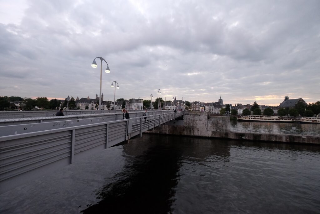
From the station to the old center, Maastricht follows a simple east-west walking axis before the terrain becomes more demanding farther south. From the station, Stationsstraat and Wycker Brugstraat lead through Wyck toward the Meuse and medieval Sint Servaasbrug. Across the river, Markt, Vrijthof, Onze Lieve Vrouweplein, Stokstraat, and Jekerkwartier sit inside a remarkably tight network. Historic cobbles, narrow lanes, and wall-top steps add texture but also reduce universal walking comfort. Farther south, St. Pietersberg changes the effort entirely, introducing sustained climbs and a separate walking zone beyond the compact core.
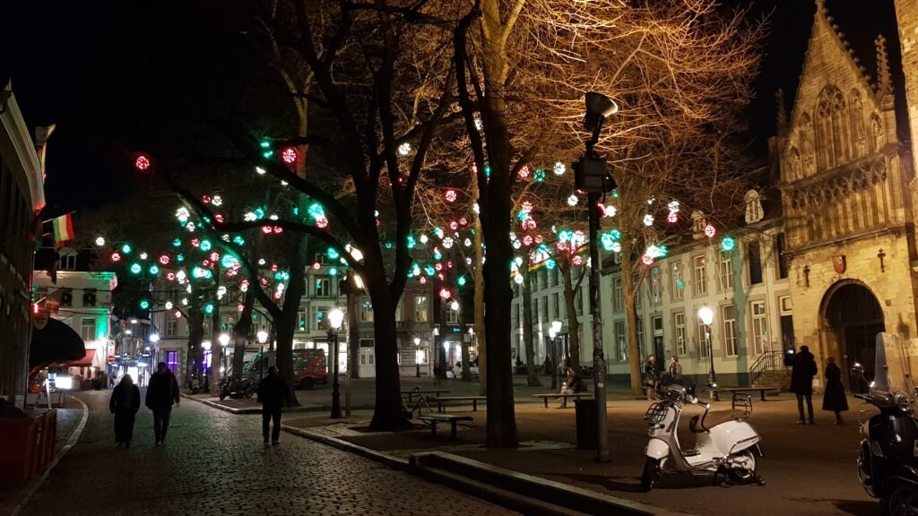
Why Maastricht Works So Well on Foot
Maastricht’s strongest advantage is concentration. Markt and Vrijthof anchor the center, while Stokstraat and Onze Lieve Vrouweplein sit only a few streets south. The Jeker Quarter and its fortifications continue from there without requiring a separate transit trip. Visit Maastricht’s own Jeker, Stokstraat and city-center route covers 3.8 kilometers, showing how much of the first-time sightseeing geography fits inside one continuous walk.
The station is unusually easy to integrate into that geography. Wyck sits directly between Maastricht Centraal and Sint Servaasbrug, so the arrival route is lined with cafés, shops, restaurants and hotels. Instead of treating the river as an awkward transfer, you walk through a visitor neighborhood and cross the medieval bridge into the old town. Maastricht Bereikbaar places Vrijthof just over one kilometer from the station.
Pedestrian quality is strong but not uniform. Large parts of the historic center are pedestrianized or car-restricted, and the city-wall route is car-free. Yet official tourism also notes small traditional cobbles across much of the Jeker and Stokstraat quarters. The wall itself requires stairs, so the most atmospheric route is not always the easiest route for luggage, strollers or limited mobility.
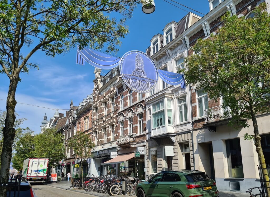
Best Areas to Stay for a Walking Weekend
Historic center around Vrijthof and Markt: This is the simplest first-time base. The major squares, Dominicanen, Stokstraat, Onze Lieve Vrouweplein and Jeker Quarter all sit within short walks. It also minimizes the number of times you need to cross the Meuse.
Wyck: Choose Wyck when rail convenience matters as much as sightseeing. The station is immediately behind the district, and Sint Servaasbrug gives a direct route into the old town. Wyck also has enough restaurants, cafés and hotels to work as an evening neighborhood rather than merely an arrival corridor.
Stokstraat or Jeker Quarter: These are strong bases for historic atmosphere and park access. They put the southern city walls and Helpoort close by, while Vrijthof and Markt remain walkable. The tradeoff is surface quality: cobbles and narrow streets are more noticeable here than around the larger squares.
Realistic Walking Times
Maastricht Centraal to Vrijthof is roughly 10–15 minutes for most visitors, depending on pace and the exact route through Wyck. The station to Sint Servaasbrug is about 8–10 minutes. Markt to Vrijthof is around 5–7 minutes, while Vrijthof to Onze Lieve Vrouweplein is roughly 8–10 minutes. The important exception is Fort Sint Pieter: allow around 30–35 minutes from Vrijthof and expect a real uphill finish.
A 2-Day Walking Route
Day 1: Station, Wyck and the Historic Center
Walking route
Day 1: Maastricht Station, Wyck and the historic center
- Maastricht Centraal
- Stationsstraat
- Rechtstraat
- Sint Servaasbrug
- Markt
- Boekhandel Dominicanen
- Vrijthof
- Onze Lieve Vrouweplein
- Stokstraat Quarter
- Dinghuis - Maastricht Store
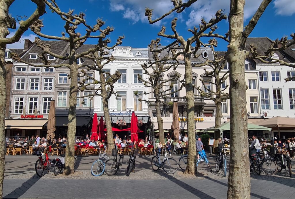
Start at Maastricht Centraal and make the arrival part of the itinerary. Stationsstraat and Wycker Brugstraat carry you through Wyck, then Rechtstraat adds a quieter historic street before the river. Cross Sint Servaasbrug once and continue north to Markt. From there, cut southwest through the Dominicanen area to Vrijthof, then turn toward Onze Lieve Vrouweplein and Stokstraat. Finish near the Dinghuis instead of returning to the station on foot.
This route keeps nearly every kilometer inside streets that add something to the visit. It also avoids the common mistake of treating Markt, Vrijthof and Stokstraat as separate outings. They are close enough to form one coherent central day, leaving the more demanding southern extension for the second day.
Day 2: Jeker, City Walls and Fort Sint Pieter
Walking route
Day 2: Jeker Quarter, city walls, parks and Fort Sint Pieter
- Vrijthof
- Natural History Museum Maastricht
- Helpoort
- Onze Lieve Vrouwe city wall and Stadspark
- Tapijn
- Fort Sint Pieter
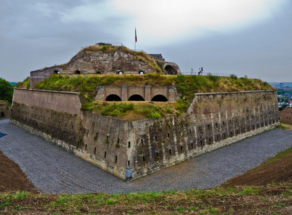
Begin at Vrijthof and move south into the Jeker Quarter, using the Natural History Museum as an easy orientation point. Continue to Helpoort and the Stadspark. The Onze Lieve Vrouwe city wall is worth adding when stairs suit your mobility; otherwise stay at park level. From Tapijn, keep moving south toward Fort Sint Pieter rather than returning to the center.
The last section changes the character of the weekend. Natuurmonumenten’s longer St. Pietersberg routes begin uphill and include real elevation differences. Finish at Fort Sint Pieter, then use Arriva line 12 from Oog van Sint-Pieter for the return. The bus runs hourly and is designed for planned daytime use, not spontaneous late-evening travel.
Strong walkers can add the official 6.3-kilometer Sint-Pietersberg and Jekerdal loop. Treat it as a separate nature hike, not as a casual extension of the old-town circuit. That distinction keeps a Maastricht weekend walkable without pretending every headline destination requires the same effort.
How Useful Is Public Transit?
Public transport is most valuable as a supplement to walking. The historic center, Wyck and Jeker Quarter are close enough that waiting for a bus often saves little. Fort Sint Pieter is different: Arriva line 12 links Maastricht Centraal with Oog van Sint-Pieter in 14 minutes on the published visitor guidance, with hourly service.
Payment is straightforward for occasional use. Arriva supports OVpay, so visitors can check in and out with a contactless debit card, credit card or compatible phone. The Fort service operates on Saturdays and Sundays but finishes at 19:00, making it much more useful for a daytime climb than an evening return.
Arriving in Maastricht Without a Car
Maastricht Centraal is one of the city’s strongest visitor assets. Official accessibility guidance places Vrijthof just over one kilometer away, with a direct walk through Wyck and across Sint Servaasbrug. The river therefore adds a memorable bridge crossing without creating a mandatory transfer or shuttle.
NS lists direct routes to Maastricht from Amsterdam, Eindhoven, Utrecht, The Hague and Rotterdam. Direct trains from Eindhoven make the journey in about 65 minutes without requiring a change. That combination of frequent rail arrival and a short final walk makes a rental car unnecessary for the normal weekend.
When a Car Becomes Useful
A private car adds little inside Maastricht. The historic center is largely car-free, parking is pushed toward garages and edge facilities, and the strongest visitor districts are easier to link on foot. Even Fort Sint Pieter has a direct bus from the station.
A car becomes more defensible when Maastricht is the base for a wider South Limburg itinerary built around several rural stops. It can also help when multiple countryside destinations must be linked in one day. Current A2 widening works are scheduled through the end of 2029, so road travelers should check live access conditions before departure.
Walking Limitations and Practical Tips
Do not judge Maastricht only by its short map distances. Cobbles are common in the Jeker and Stokstraat quarters, and the most scenic city-wall line includes steps. Sint Servaasbrug is the natural station-to-center crossing, so crossing the Meuse repeatedly can add unnecessary mileage. Keep each day mostly on one side of the river until the route genuinely benefits from crossing.
Visitors with limited mobility should favor the main street network over wall-top shortcuts. The central squares and bridge route remain useful without taking the wall stairs. For Fort Sint Pieter, line 12 is the clearest way to avoid turning the southern extension into a demanding uphill-and-downhill return.
Seasonal Walking Note
Maastricht supports a walking-focused visit throughout the year, but surfaces and daylight change the experience. Rain can make historic cobbles and wall steps less comfortable, while winter shortens the practical window for St. Pietersberg. Summer and major-event dates can increase crowding around Vrijthof and Markt.
Bottom Line
Maastricht works best when you treat it as two different walking experiences. The station, Wyck, bridge and historic center form one compact urban network. Jeker and the city walls extend that network south, while Fort Sint Pieter marks the point where the trip becomes a hill walk. Use buses selectively, keep the main days geographically coherent and leave the car for wider regional touring.