
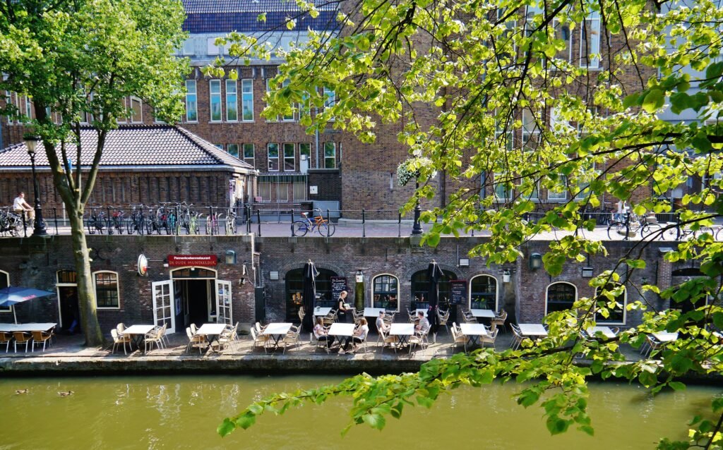
Built around a narrow canal spine rather than a broad downtown grid, Utrecht’s historic center keeps its main sights unusually close together. The Oudegracht links shopping streets, wharves, bridges and major sights within a short pedestrian radius. Domplein and Neude sit minutes apart, while the Museum Quarter continues naturally south toward Centraal Museum. Utrecht Centraal is also close, but reaching the old center can feel less direct inside Hoog Catharijne. At canal level, the famous wharves create a second walking network several metres below the streets above. That vertical layer adds character, but stairs and access points matter for route choice and mobility.
Why Utrecht Works So Well on Foot
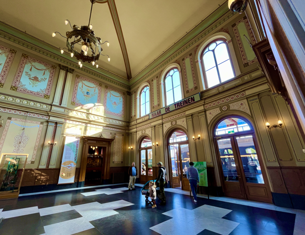
Utrecht’s biggest advantage is concentration. An official Dom district walk packs 19 stops into four kilometers, and that route is only part of the useful center. Neude, Domplein, Stadhuisbrug and Oudegracht sit within a few minutes of one another. Continue south and the Museum Quarter adds Museum Catharijneconvent, the University Museum and Centraal Museum without creating a separate sightseeing zone. The Railway Museum is the main east-side exception, but it remains close enough for a purposeful walk rather than a cross-city transfer.
Street conditions reinforce that compact map. The municipality’s pedestrian area covers major shopping streets, Neude, Stadhuisbrug and long central sections of Oudegracht. Several streets are fully car-free outside access periods. The result is a center where walking usually feels like the default mode rather than a compromise. Bicycles still matter, especially around the edges and during permitted cycling hours, so look before crossing cycle paths even when vehicle traffic feels light.
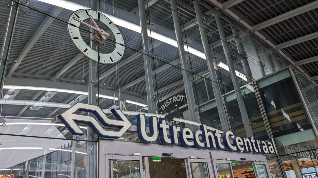
Utrecht Centraal is unusually close to all of this, but the first arrival can feel less intuitive than the distance suggests. The station, elevated Stationsplein and Hoog Catharijne form a large multi-level environment. Signs toward Centrum, Vredenburg or Hoog Catharijne are more useful than simply following the apparent direction of Dom Tower. Once you reach Vredenburg, the navigation problem largely disappears and the old center becomes much easier to read.
Best Areas to Stay for a Walking Weekend
The Dom district and central Oudegracht are the strongest bases for pure sightseeing efficiency. You can reach Neude, the canal, Domplein and many museums in minutes, with restaurants and shops throughout the day. Neude and Vredenburg offer an excellent compromise between historic atmosphere and a short station walk. The Museum Quarter works well for a quieter base near Centraal Museum and Twijnstraat. Staying inside or beside Hoog Catharijne maximizes rail convenience, but the immediate environment feels more like a transport and shopping complex than old Utrecht.
Realistic Walking Times
Allow roughly 12–15 minutes from Utrecht Centraal to Neude and about 15–18 minutes to Domplein after leaving the station complex. Neude to Domplein is usually around five minutes. Domplein to Centraal Museum takes about 10–12 minutes through the Museum Quarter. The Railway Museum is roughly 15–20 minutes from Domplein and about 20–25 minutes from Neude. These are normal visitor estimates, not promises; crowds, crossings and a wrong turn inside Hoog Catharijne can add time.
The Two-Level Oudegracht: Utrecht’s Special Walking Factor
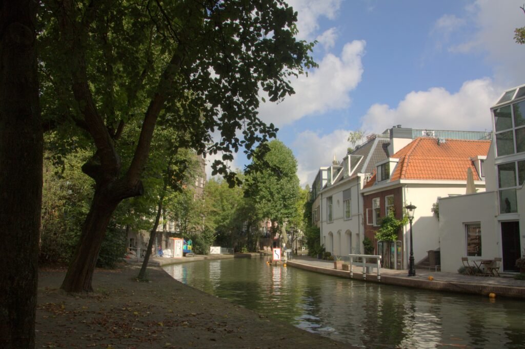
The Oudegracht is not simply a canal beside a street. Its historic wharves form a public route at water level below the streets and bridges above. Walking there is one of Utrecht’s most distinctive experiences, but it changes how accessibility works. Many descents use stairs, and entrances are spaced rather than continuous. A traveler who avoids steps can stay at street level and still follow the canal. The vertical movement is local, so it should not be confused with the sustained climbing found in a genuinely hilly city.
A 2-Day Walking Route
These routes keep each day geographically coherent. Day 1 follows the station-to-center-to-Museum-Quarter spine. Day 2 uses the eastern edge for the Railway Museum, parks and quieter canals, then finishes at the station. The aim is to avoid repeating the same central streets simply to collect another landmark.
Day 1: Utrecht Centraal, Oudegracht, Domplein and Museum Quarter
Walking route
Day 1: Utrecht Centraal, Oudegracht, Domplein and Museum Quarter
- Utrecht Centraal
- Vredenburg
- Neude and Bibliotheek Neude
- Stadhuisbrug and Oudegracht
- Dom Tower and Domplein
- Museum Catharijneconvent
- Centraal Museum
- Ledig Erf and Twijnstraat
Begin at Utrecht Centraal and follow the signed city-center route through Hoog Catharijne to Vredenburg. Continue to Neude, then reach Stadhuisbrug for the first clear view along Oudegracht. If stairs are comfortable, descend briefly to the lower wharf before returning to street level near the central bridges. From Domplein, continue south through Lange Nieuwstraat toward Museum Catharijneconvent and Centraal Museum. Finish at Ledig Erf and Twijnstraat instead of walking back through the same core.
Day 2: Neude, Railway Museum and the Eastern Singel
Walking route
Day 2: Neude, Railway Museum and the Eastern Singel
- Neude
- Janskerkhof
- Stadsschouwburg Utrecht
- Railway Museum
- Sonnenborgh Museum and Observatory
- Park Lepelenburg
- Pausdam and Kromme Nieuwegracht
- Mariaplaats
- Utrecht Centraal via Moreelsepark
Start at Neude and head through Janskerkhof toward Stadsschouwburg and the eastern singel. Continue to the Railway Museum, which sits beyond the tightest historic cluster but remains a reasonable walk. From there, turn southwest toward Sonnenborgh and Park Lepelenburg. Re-enter the center through Pausdam and Kromme Nieuwegracht, then cross toward Mariaplaats. Finish at Utrecht Centraal through the south-side approach. If the museum walk is too long, the hourly train to Utrecht Maliebaan provides an efficient alternative.
Using Transit Without Losing the Walking Experience
Most central sightseeing does not require transit, which is exactly why Utrecht works so well for a short visit. U-OV becomes useful for the Railway Museum when time is tight, the Science Park, outer neighborhoods or tired returns. Bus line 2 links Utrecht Centraal with the Museum Quarter, while several frequent routes cross the station. Trams connect the station with southern suburbs and the Science Park corridor. These services are most useful for longer city trips and tired returns, while central sightseeing remains naturally compact on foot.
Payment is straightforward. OVpay accepts contactless debit cards, credit cards, phones and smartwatches across Dutch public transport. U-link buses are designed to run frequently, including evenings and weekends. Dedicated night buses continue after ordinary service ends on their published routes. Visitors should still check U-OV before departure because construction around Utrecht Centraal or the wharves can temporarily move stops or alter local paths.
Arriving in Utrecht Without a Car
Utrecht is straightforward to reach by rail. Schiphol Airport states that Utrecht has direct train connections 24/7, often without a change. The airport rail station is directly below the terminal, so there is no shuttle bus between the terminal and train. At the other end, Utrecht Centraal is beside Hoog Catharijne and only a short walk from Vredenburg and the historic center. The main complication is wayfinding through the large station complex rather than distance or transfers.
When a Car Helps
A private car adds little to a normal two- or three-day Utrecht city break. The central streets are compact, parking is peripheral or structured, and rail arrival is unusually convenient. A car becomes more useful only when Utrecht is a base for multi-stop countryside or regional trips that do not align well with rail and bus routes. For the historic center, Museum Quarter and Railway Museum, walking plus occasional public transport is the simpler combination.
Walking Limitations and Practical Tips
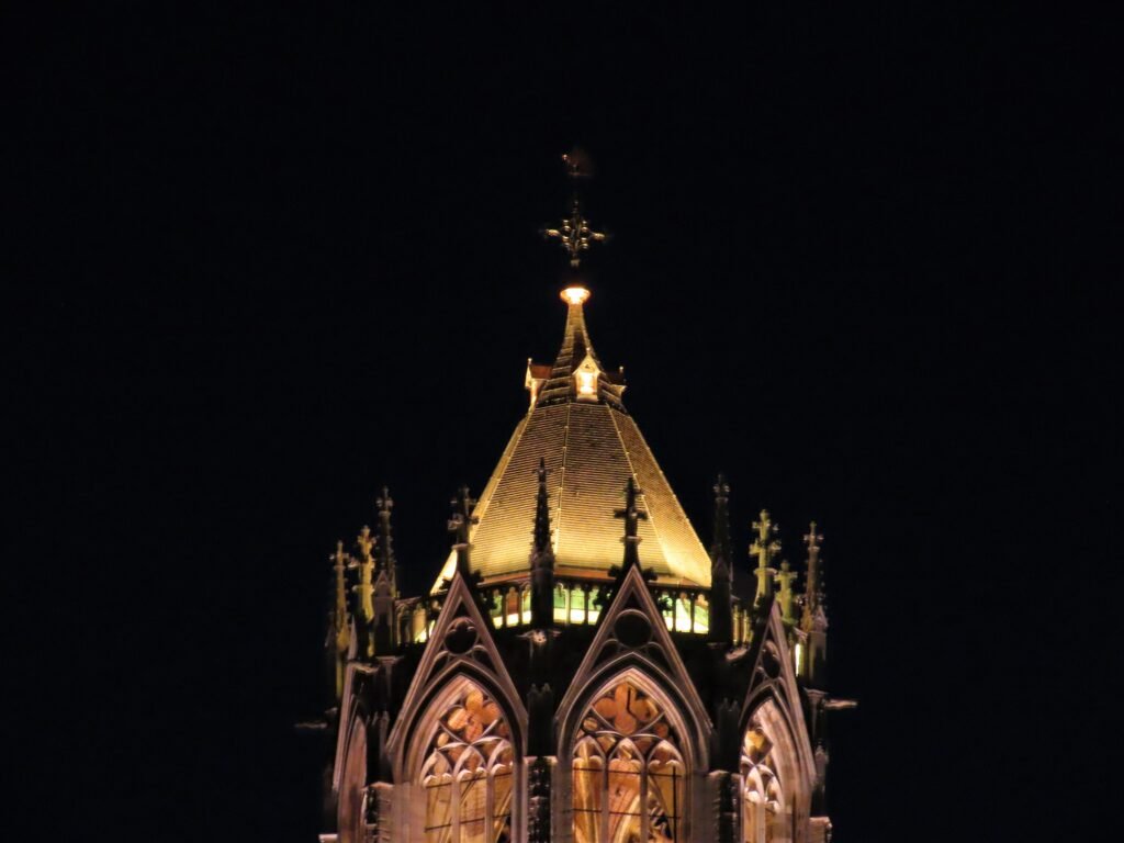
The canal wharves are the most important mobility caveat. Treat lower-level walking as optional rather than essential, and remain at street level when stairs are unsuitable. At busy crossings, watch for bicycles separately from cars; a quiet-looking road can still carry fast cycle traffic. Around Utrecht Centraal, rely on named exits and destinations rather than compass direction. In the historic core, the Dom Tower makes a useful orientation landmark, but narrow streets and two canal levels can still cause short wrong turns.
Wharf-wall and cellar restoration is a long-running municipal program, so short sections of Oudegracht or Nieuwegracht can occasionally have temporary barriers. Follow local signs when a section is closed.
Best Time of Year for Walking
Late spring, summer and early autumn give long daylight for canal and park walks, while shoulder seasons can be quieter. Rain and wind can make exposed bridges and wharf surfaces less comfortable. Winter brings shorter daylight and greater caution on wet steps. The central distances remain short in every season, but footwear with reliable grip is especially useful when the wharves are damp.
Bottom Line
Utrecht combines a genuinely compact historic center with a remarkably straightforward rail arrival. Neude, Domplein, Oudegracht and the Museum Quarter belong to the same practical walking day, not separate clusters. The Railway Museum adds one modest outward leg, and transit handles it easily when needed. The main caveat is vertical rather than horizontal: the canal wharves add stairs and route choices inside an otherwise flat city. For a short city break, a car is unnecessary.