
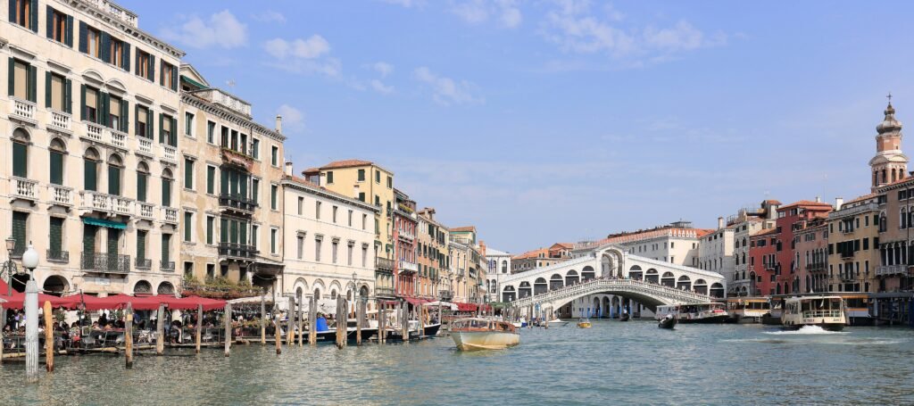
Across a compact archipelago, Venice concentrates world-famous sights inside a pedestrian network unlike a normal street grid. The historic center spans more than 100 islands, joined by hundreds of bridges that turn canals into constant route decisions. Only four fixed bridges cross the Grand Canal, so apparently short trips can require meaningful detours. Most ground is nearly level, yet repeated bridge stairs accumulate quickly across a full sightseeing day. San Marco, Rialto, Dorsoduro, Cannaregio, Santa Croce and Castello remain strongly connected when routes respect those constraints.
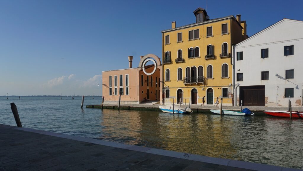
Why Venice Works So Well on Foot
The first-visit map is unusually dense. San Marco, Rialto, San Polo, central Dorsoduro and western Castello sit close enough that walking is normally the fastest sightseeing mode. Cannaregio and Santa Croce extend the same pedestrian fabric toward the railway and bus terminals rather than forming detached districts.
That compactness needs an important correction. Venice is built across 121 islands connected by 435 bridges, so water shapes every route. The Grand Canal has only four fixed pedestrian crossings. A hotel or museum can look close across the water while the legal walking route bends several blocks toward the next bridge.
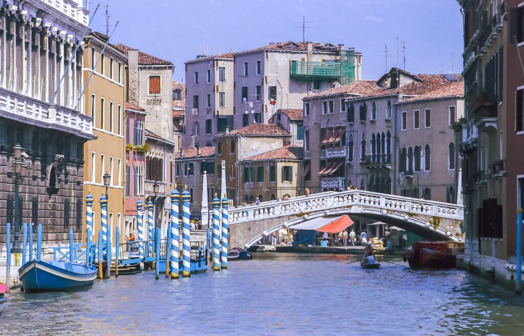
The absence of private cars is a major comfort advantage, but it does not make every walk effortless. Bridge steps, narrow calli, crowded approaches and irregular junctions create real pedestrian work. The most efficient weekend groups sights by sestiere and canal side instead of treating straight-line distance as the route.
Where to Stay for the Easiest Walking
| Area | Best for | Main trade-off |
|---|---|---|
| San Marco | Shortest walks to St Mark’s Square, Doge’s Palace and headline sights | Busiest pedestrian routes and narrow pinch points |
| San Polo / Rialto | Central access to both sides of the Grand Canal | Heavy foot traffic around Rialto |
| Dorsoduro | Art museums, Zattere and a calmer southern base | Longer from Santa Lucia and eastern Castello |
| Cannaregio | Rail arrival, Jewish Ghetto and canal-side walking | Farther from San Marco if you stay north or west |
| Santa Croce | Piazzale Roma and low-friction luggage arrival | Longer walk to the monumental core |
| Castello | San Zaccaria, Arsenale side and quieter eastern streets | Western sights require more walking or water transit |
For a two-day first visit, base location matters more than a few hundred meters of straight-line distance. A stay beside a useful bridge or vaporetto stop can remove repeated detours. If you are arriving with heavy luggage, Santa Croce, western Cannaregio or a direct vaporetto-accessible stop often reduces the hardest part of the trip.
Typical Walking Times in Venice
| Walk | Typical time |
|---|---|
| Piazza San Marco → Rialto Bridge | 10–15 min |
| Rialto Bridge → Basilica dei Frari | 12–18 min |
| Piazza San Marco → Accademia Bridge | 15–20 min |
| Accademia Bridge → Santa Maria della Salute | 10–15 min |
| Venezia Santa Lucia → Rialto Bridge | 20–25 min |
| Venezia Santa Lucia → Piazza San Marco | 30–40 min |
| Rialto Bridge → Campo del Ghetto Nuovo | 20–25 min |
These are route-aware planning estimates rather than straight-line calculations. Crowds, bridge queues, a wrong turn or choosing the wrong side of a canal can add several minutes. In Venice, the shortest-looking line on a map is often not the walk you can actually take.
A 2-Day Walking Route
Day 1: San Marco, Castello, Rialto and San Polo
Walking route
Day 1 — San Marco, Castello, Rialto and San Polo
- Piazza San Marco
- Doge's Palace
- Chiesa di San Zaccaria
- Campo Santa Maria Formosa
- Basilica dei Santi Giovanni e Paolo
- Rialto Bridge
- Rialto Market
- Campo San Polo
- Basilica di Santa Maria Gloriosa dei Frari
- Scuola Grande di San Rocco
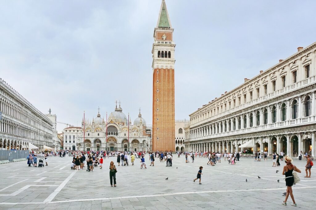
Start at Piazza San Marco, then move east into Castello before cutting north through Santa Maria Formosa and Santi Giovanni e Paolo. From there, angle west to Rialto and cross the Grand Canal once. Stay on the San Polo side for the market, Campo San Polo, Frari and San Rocco instead of returning to San Marco. This order saves a low-value second crossing and finishes in a different part of the city.
Day 2: Dorsoduro, Santa Croce and Cannaregio
Walking route
Day 2 — Dorsoduro, Santa Croce and Cannaregio
- Gallerie dell'Accademia
- Peggy Guggenheim Collection
- Basilica di Santa Maria della Salute
- Punta della Dogana
- Fondamenta Zattere ai Gesuati
- Squero di San Trovaso
- Campo Santa Margherita
- Chiesa di San Pantalon
- Ponte della Costituzione
- Ponte delle Guglie
- Campo del Ghetto Nuovo
- Fondamenta della Misericordia
Begin at Accademia and work toward Guggenheim, Salute and Punta della Dogana before turning west. Follow the Zattere past San Trovaso, then continue through Campo Santa Margherita and San Pantalon. Cross the Grand Canal at Ponte della Costituzione near the terminal edge, then head north through Ponte delle Guglie, the Jewish Ghetto and Fondamenta della Misericordia. The sequence turns once rather than retracing the Dorsoduro waterfront.
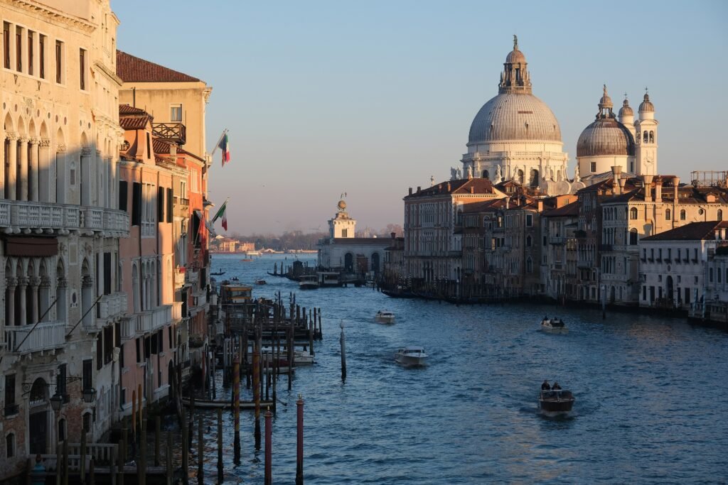
When the Vaporetto Is Worth Using
Lines 1 and 2 are the most useful visitor services because they follow the Grand Canal and connect the main arrival edge with Rialto, San Marco and Accademia. Use them when the alternative walk is mostly bridge-heavy transfer mileage rather than sightseeing.
The vaporetto is especially valuable with luggage, after a long walking day, for a Grand Canal ride, or for Giudecca, Lido and lagoon-island trips. It is less valuable for short central hops where walking keeps you inside the sights you came to see.
Current AVM fares are €9.50 for a standard 75-minute Rete Unica ticket. The current 24-, 48-, 72- and 168-hour products cost €25, €35, €45 and €65. Contactless cards and mobile devices can be tapped directly, and Best Fare can apply the appropriate cap when eligible.
Current 2026 schedules publish roughly 12-minute service on important Line 1 and Line 2 periods, with useful evening service and a night network. Seasonal patterns and special events can alter exact departures, so check AVM on the travel day.
Arriving in Venice Without a Car
Venezia Santa Lucia by Train
Santa Lucia is the easiest major gateway because the train ends directly at the historic-city edge. If your hotel is in Santa Croce or western Cannaregio, walking may be simplest. For San Marco, Dorsoduro or eastern Castello with luggage, the Ferrovia vaporetto stops can save multiple bridge crossings.
Marco Polo Airport
ACTV Line 5 and ATVO express buses run from Marco Polo Airport to Piazzale Roma. Alilaguna provides a water alternative. The bus option is direct to Venice’s road terminal, but your final hotel approach still happens on foot or by water because road vehicles stop at the edge of the historic islands.
Treviso Canova Airport
Treviso Canova also works without a car through direct coach connections to Piazzale Roma and Mestre. It carries more transfer time than Santa Lucia rail arrival, but it still places visitors at the same western terminal from which walking and vaporetti take over.
When a Car Helps
A private car does not help inside historic Venice. Road vehicles stop at Piazzale Roma or Tronchetto, and the sightseeing city beyond is pedestrian and water-based. Driving mainly adds parking and terminal logistics to a weekend that already works without a vehicle.
A car becomes relevant only when the trip changes into a road-based regional itinerary. The Dolomites, dispersed Veneto countryside or several small rural stops in one day can justify a rental before or after Venice. For the standard 2–3 day city break, leave the car outside the plan.
Walking Limitations and Practical Tips
Treat bridge stairs as the main physical effort. Venice is nearly flat, but ten short bridge climbs across a sightseeing day can matter more than one obvious hill. Pack so you can carry luggage over steps if your lodging is not beside a vaporetto stop.
Route by bridge, not only by destination. Before crossing the Grand Canal, check whether the next major sight belongs on your current side. Rialto, Accademia, Scalzi and Costituzione are the four fixed crossings, so a poorly timed crossing can create avoidable backtracking.
Visitors with reduced mobility should use the city’s accessible-route resources and water transport rather than assuming the historic center is continuously step-free. Municipal guidance says large parts of Venice are accessible with transport support, but bridge conditions still vary by route.
Venice may apply an Access Fee on selected high-demand day-trip dates. Rules, dates and exemptions can change by year, so check the official Access Fee site when planning your visit.
Seasonal Walking Note
Summer heat and peak visitor volumes can make the busiest central lanes feel slower than their distances suggest. Autumn and winter can bring acqua alta episodes, while damp paving and bridge steps deserve extra care. Season mainly changes comfort and pacing, especially on crowded or wet routes.
Bottom Line
Venice is a walking-first city break, but the best routes respect water rather than fighting it. Keep nearby sights on the same canal side, cross the Grand Canal deliberately, and expect repeated bridge stairs. Use vaporetti for luggage, tired returns and longer water jumps. With a central base and two geographically coherent days, a private car is unnecessary.