
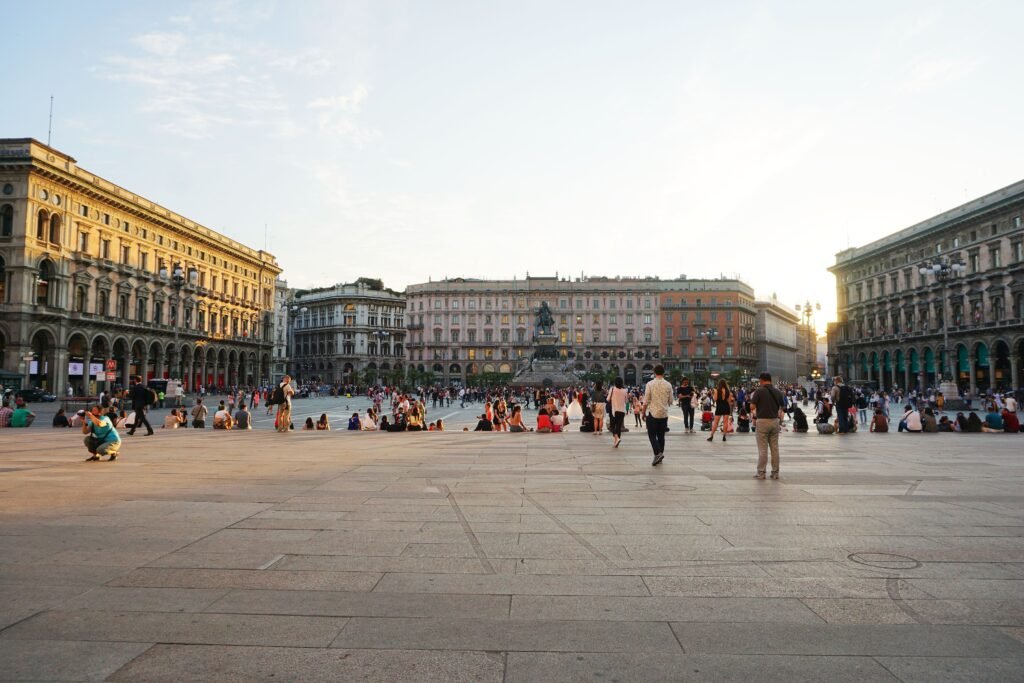
Around the Duomo, concentric streets pull Milan’s first-time sights into a compact historic walking core. Galleria Vittorio Emanuele II, La Scala, Brera, Castello Sforzesco, and Parco Sempione connect through straightforward central walks. The pattern changes beyond that core. Porta Nuova extends north toward Garibaldi, while Navigli pulls the visitor footprint south toward Darsena and the canals. Those districts remain walkable once reached, but linking everything entirely on foot creates unnecessary mileage. Flat terrain keeps effort low, while Metro and trams work best as selective connectors between Milan’s distinct visitor clusters.
Why Milan Works Well on Foot
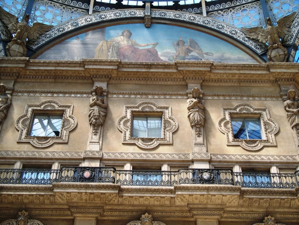
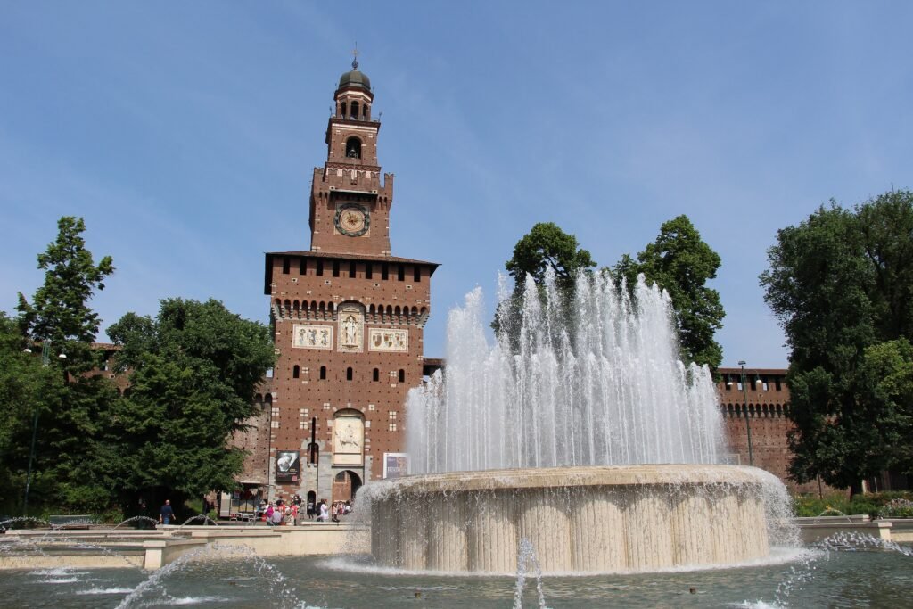
The strongest walking zone is the historic center. The Duomo and Galleria share the same square, while La Scala and Brera sit immediately north. Westward, Via Dante and neighboring central streets lead toward Castello Sforzesco, whose grounds open directly into Parco Sempione. This chain lets a first-time visitor spend most of a full day walking without needing transit.
Milan also benefits from unusually easy terrain. The city is flat, so distance matters more than climbing. That makes a 20- or 30-minute walk predictable in physical effort, even when the street surface changes. Brera and Corso Como introduce cobbles, while tram tracks and busier crossings require more attention than the central pedestrian squares.
The main trap is assuming the whole visitor map is as compact as the Duomo core. Porta Nuova, Navigli and Centrale are individually walkable, but they stretch the weekend across a much larger footprint. Walk within each cluster, then use Metro when the next leg adds mileage without adding much sightseeing value.
Best Areas to Stay for Walking
Duomo and the surrounding Centro Storico offer the simplest first-time base. The Galleria, La Scala, Brera, Via Torino and the route toward Castello are all close enough for spontaneous walking. The tradeoff is intensity: this is Milan’s busiest visitor zone, especially around shopping hours and major events.
Brera is the strongest alternative for travelers who want atmosphere without giving up centrality. It sits between the Duomo, Castello and Corso Garibaldi, so both the historic core and Porta Nuova remain practical on foot. Expect cobbles and narrower streets on some blocks.
Porta Nuova and Garibaldi work especially well for modern architecture, Corso Como and rail convenience. They remain walkable to Brera, but the Duomo becomes a longer outing and Navigli is clearly separate. A hotel here makes Metro use more valuable, not because the district is unwalkable, but because Milan’s visitor footprint is broader.
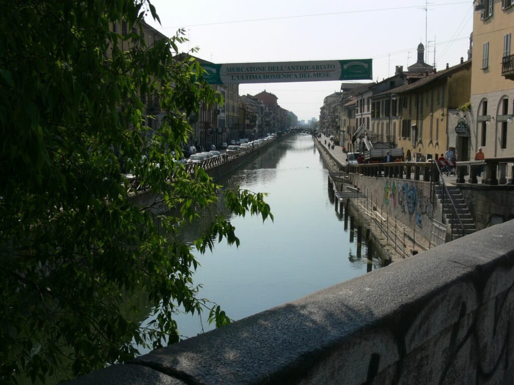
Navigli is the best base for canal-side evenings. Darsena, Porta Ticinese and the canal promenades are easy to explore locally, while M2 and nearby M4 stations handle the trip back toward central Milan. Milano Centrale is best chosen for rail convenience rather than maximum sightseeing density.
Realistic Walking Times in Milan
From the Duomo, the Galleria is effectively next door. Brera is roughly a 12- to 15-minute walk, while Castello Sforzesco usually takes about 15 to 20 minutes. Crossing Parco Sempione from the castle toward Arco della Pace adds another 15 to 20 minutes.
The distances become more meaningful at the outer visitor clusters. Darsena and Navigli are roughly 25 to 30 minutes from the Duomo. Piazza Gae Aulenti is a similar walk north through Brera and Corso Garibaldi. Milano Centrale is closer to 30 to 35 minutes, making M3 a sensible luggage-day shortcut.
A 2-Day Walking Route
These routes separate the compact historic core from Milan’s longer north-south visitor geography. Day 1 stays inside the strongest continuous walking network. On the second day, the route starts at Porta Nuova and finishes at Navigli, so there is no low-value return walk across the city.
Day 1: Duomo, Galleria, Brera, Castello and Parco Sempione
Walking route
Day 1 — Duomo, Galleria, Brera, Castello & Parco Sempione
- Piazza del Duomo
- Galleria Vittorio Emanuele II
- Teatro alla Scala
- Pinacoteca di Brera
- Castello Sforzesco
- Parco Sempione
- Arco della Pace
Start in Piazza del Duomo and cross directly into Galleria Vittorio Emanuele II. Continue through Piazza della Scala, then enter Brera for its smaller streets and Pinacoteca. From Brera, move west to Castello Sforzesco and finish by crossing Parco Sempione toward Arco della Pace. The sequence keeps the best central walking almost entirely continuous.
Day 2: Porta Nuova, Fashion District, Via Torino and Navigli
Walking route
Day 2 — Porta Nuova, Fashion District, Via Torino & Navigli
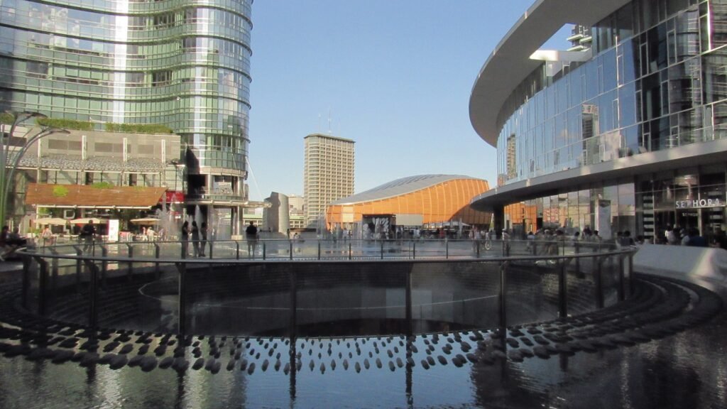
- Piazza Gae Aulenti
- Corso Como
- Via Monte Napoleone
- Piazza San Babila
- Via Torino
- Colonne di San Lorenzo
- Darsena
- Vicolo dei Lavandai
Begin at Piazza Gae Aulenti and walk through Corso Como toward the central shopping districts. Continue to Via Monte Napoleone and San Babila, then turn south toward Via Torino and Porta Ticinese. Colonne di San Lorenzo leads naturally toward Darsena, where the final stretch follows the Naviglio Grande to Vicolo dei Lavandai.
Finish the day in Navigli rather than retracing the full route. M2 from Porta Genova is the simplest return for many central stays, while M4 from De Amicis or Sant’Ambrogio is useful for other corridors.
When Metro and Trams Help Most
Milan’s Metro is not a substitute for walking through the historic center. It is most valuable when the itinerary crosses between clusters. Use it for Centrale to Duomo, Navigli to the center, Porta Nuova to southern districts, or longer trips toward San Siro and other outliers.
ATM operates five Metro lines alongside a large tram, bus and trolleybus network. The normal Mi1-Mi3 ticket costs €2.20 and lasts 90 minutes. A 24-hour ticket costs €7.60, while the three-day ticket costs €15.50.
Contactless payment is especially convenient for occasional rides. Tap the same bank card, phone or watch across ATM services and the system applies the appropriate fare. Direct contactless payment does not cover S-line rail services, so use an integrated ticket or rail ticket when required.
Evening backup is unusually strong. Metro-replacement buses operate every night, and additional night routes run on weekend nights. Current street works can temporarily divert trams, so check the ATM app before relying on one specific surface line.
Arriving in Milan Without a Car
Linate is the easiest airport arrival for a central weekend. M4 runs directly from the airport through San Babila and across the city, with daily service until around 00:30. The NM4 bus continues the corridor after Metro hours.
Malpensa is farther away but still straightforward. Malpensa Express trains run toward Milan every 15 minutes overall, split between Cadorna and Centrale services. Cadorna takes about 37 minutes, while Centrale is roughly 50 to 51 minutes. The current adult fare is €15.
Bergamo Airport is the least convenient of Milan’s main air gateways. Several coach companies run directly to Milano Centrale, so a car remains unnecessary. The tradeoff is road travel from an airport about 50 kilometers from central Milan.
Rail travelers arrive exceptionally well. Milano Centrale handles regional, national and international trains and connects directly with M2 and M3. Its location is outside the tight historic core, but the onward Metro transfer is simple.
When a Car Helps
A private car offers little for the standard Milan weekend. Central streets include pedestrian areas and restricted-access zones, while Area C regulates weekday entry into the historic center. Parking and traffic create friction that walking and Metro usually avoid.
A car becomes useful when Milan is a base for road-oriented trips outside the urban transit network. Rural Lombardy, dispersed lake destinations or multi-stop countryside drives are the clearer cases. For a two- or three-day city break, arrive by rail or airport transit and leave the car out of the plan.
Walking Limitations and Practical Tips
Plan Milan by clusters rather than by a single giant loop. Duomo, Brera and Castello belong together. Porta Nuova can connect naturally through Corso Garibaldi, while Navigli works better as a separate southbound finish or a short Metro trip.
Wear shoes that handle cobbles and tram tracks, not just distance. Brera, Corso Como and parts of the Navigli route include uneven surfaces. Around Darsena, watch for bike paths and crossings before drifting toward the canal edge.
Crowding is the other practical limitation. Piazza Duomo and the Galleria can slow dramatically during busy periods, and Navigli becomes most congested in the evening. Starting central sights early and saving canal time for later keeps the walking rhythm more comfortable.
Seasonal Walking Note
Spring and autumn usually offer the easiest conditions for long days outside. Summer heat can make the longer Porta Nuova-to-Navigli mileage less appealing at midday, while winter rain reduces comfort on cobbles and canal-side paving.
Bottom Line
Milan works best when you treat its historic center as a walking city and its wider visitor districts as connected clusters. The Duomo, Galleria, Brera, Castello and Sempione form the strongest continuous pedestrian experience. Porta Nuova and Navigli add worthwhile variety but also real distance. Use Metro selectively for those longer jumps, and a private car becomes unnecessary for the standard weekend.