
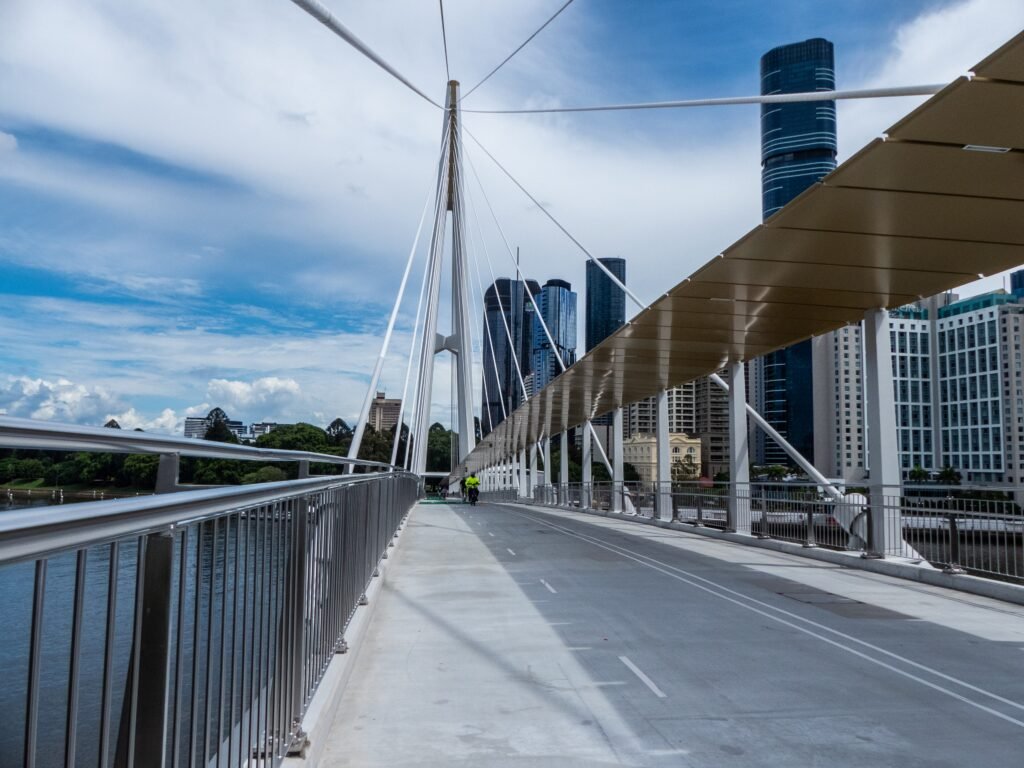
The river divides the visitor core, but several pedestrian bridges now make that division easier to cross. Queen Street Mall, King George Square, Queen’s Wharf, and South Bank form a practical central chain. Victoria Bridge and Neville Bonner Bridge connect the CBD with the Cultural Centre and South Bank promenades. City Botanic Gardens extend the walk southeast, where the Kangaroo Point Bridge creates another direct river crossing. Beyond that compact zone, Fortitude Valley, Howard Smith Wharves, and New Farm stretch the weekend into separate clusters. Roma Street remains close to the center, although construction can occasionally alter pedestrian approaches.
Why Brisbane Works Well on Foot
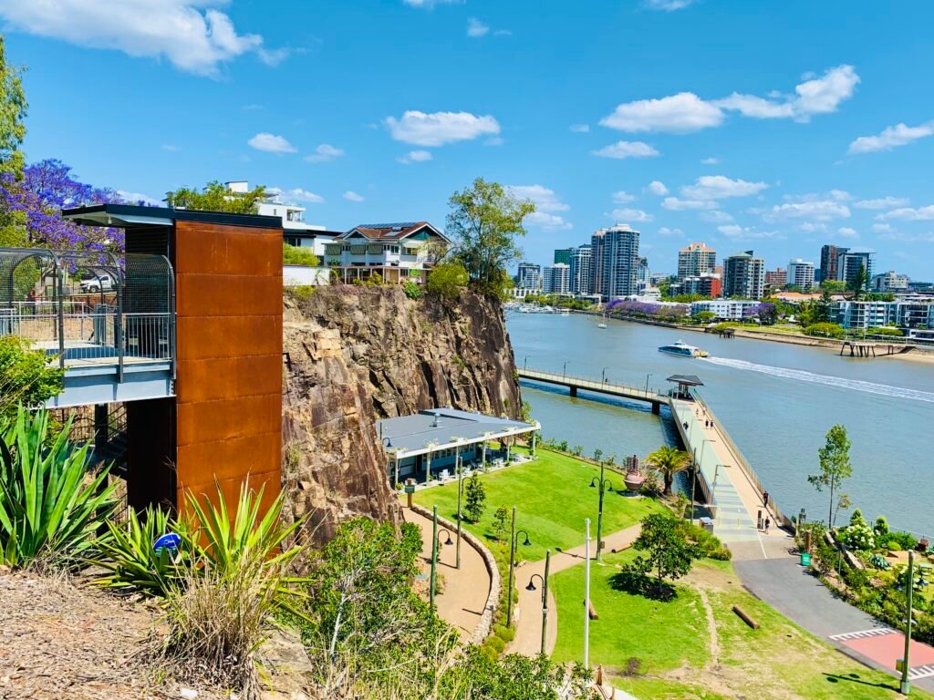
The strongest walking network sits between the CBD, South Bank, the Cultural Centre, and the City Botanic Gardens. Queen Street Mall supplies a pedestrianized spine through the commercial center. Across the river, GOMA, Queensland Museum and the State Library share one compact cultural precinct. Victoria Bridge and Neville Bonner Bridge make South Bank a strongly connected neighboring cluster rather than an isolated district. The Kangaroo Point Bridge adds another useful crossing beside the gardens. That bridge improves access, but Kangaroo Point still has its own riverside paths, cliffs, and elevated streets.
CBD, South Bank and the River Crossings
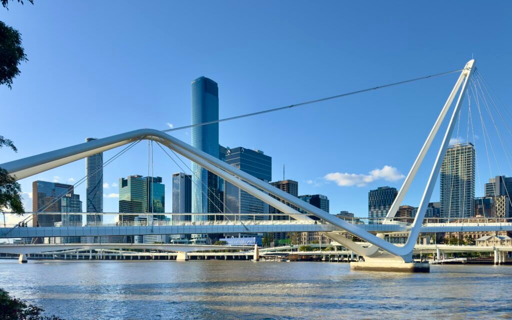
South Bank works best as a separate cluster that connects unusually well to the CBD. Victoria Bridge gives the Cultural Centre a direct approach from Queen Street and the western CBD. Neville Bonner Bridge creates another pedestrian-only link between South Bank and the Queen’s Wharf side. Farther southeast, Goodwill Bridge connects South Bank with Gardens Point and the City Botanic Gardens. These crossings give visitors several efficient loops instead of forcing repeated returns along one bridge. Bridge quality helps connectivity, but the river still adds real distance between opposite-bank destinations.
Best Areas to Stay for a Walking Weekend
The CBD is the most efficient base, especially near Queen Street Mall, Central Station, King George Square, or the river. Those locations keep South Bank, the gardens, Queen’s Wharf, and major transit within easy reach. South Bank is the strongest alternative for cultural institutions, parkland, and riverfront walking. Fortitude Valley can work for travelers prioritizing that district, but it creates more repeated transit or walking toward the central sights. New Farm is pleasant once reached, yet it is less efficient for a first-time sightseeing weekend.
Walking Times Between Major Brisbane Sights
Queen Street Mall to King George Square takes roughly five to eight minutes. The Cultural Centre is about 12–18 minutes away via Victoria Bridge. City Botanic Gardens are officially about 10–15 minutes from the city center. Howard Smith Wharves is roughly a 20–25 minute walk from Queen Street Mall. Fortitude Valley is similar, while New Farm Park requires a much longer riverside extension. Treat these as practical planning estimates rather than guaranteed walking times.
A 2-Day Walking Route
The first day concentrates on the river-crossing core and keeps nearly every step inside high-value visitor geography. On the second morning, see Roma Street Parkland before using rail to avoid repeating the CBD. The main Day 2 walk then runs linearly from Fortitude Valley through Howard Smith Wharves toward New Farm.
Day 1 — CBD, South Bank, Gardens and Kangaroo Point
Walking route
Day 1 — CBD, South Bank, gardens and Kangaroo Point
- Queen Street Mall
- Brisbane City Hall / King George Square
- Victoria Bridge
- Queensland Cultural Centre
- Gallery of Modern Art (GOMA)
- Queensland Museum Kurilpa
- South Bank Parklands
- Neville Bonner Bridge
- Queen's Wharf Brisbane
- City Botanic Gardens
- Kangaroo Point Bridge
- C.T. White Park
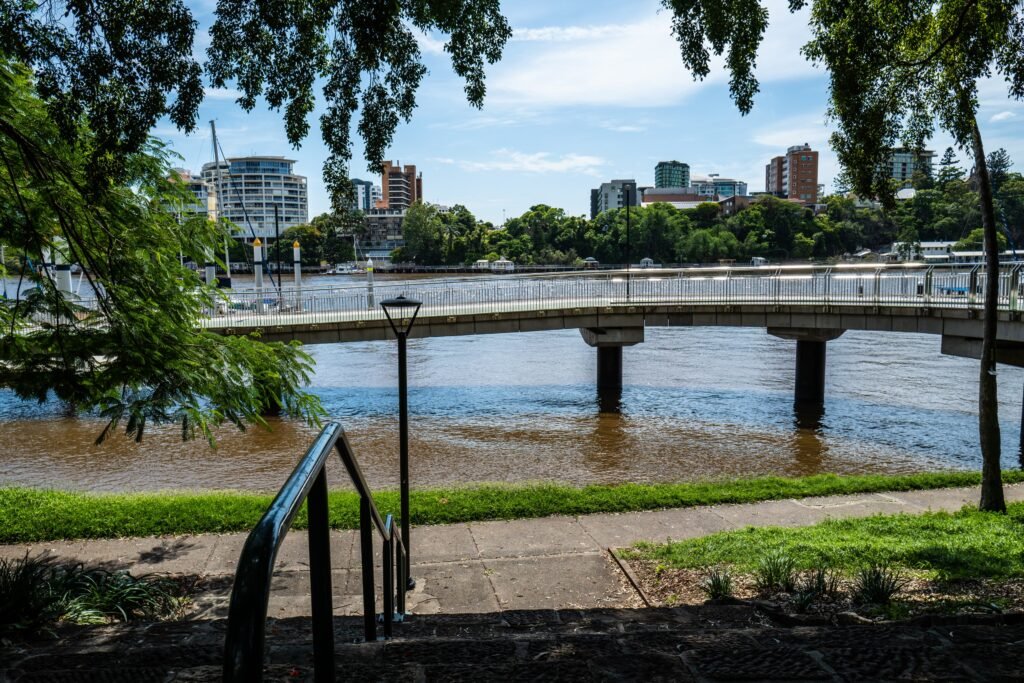
Start on Queen Street Mall, then pass City Hall and King George Square before crossing Victoria Bridge. Work through the Cultural Centre, GOMA, Queensland Museum and South Bank without retracing the riverfront. Cross Neville Bonner Bridge to Queen’s Wharf, then continue toward City Botanic Gardens. Finish by taking the Kangaroo Point Bridge to C.T. White Park. The bridge has a gentle maximum grade and lift access to the riverfront. Skip the upper cliffs if you want to avoid a steeper final climb.
Day 2 — Roma Street, Fortitude Valley and New Farm
Walking route
Day 2 — Roma Street prelude, then Fortitude Valley to New Farm
- Fortitude Valley Station
- Brunswick Street Mall
- Howard Smith Wharves
- New Farm Riverwalk
- Sydney Street Ferry Terminal
- New Farm Park
- Brisbane Powerhouse
Begin with Roma Street Parkland, using signed detours where construction affects nearby footpaths. Return to Roma Street Station and take a short train ride to Fortitude Valley. From there, walk through Brunswick Street Mall, descend toward Howard Smith Wharves, and join the riverside path. Continue along New Farm Riverwalk toward New Farm Park and Brisbane Powerhouse. This keeps the day linear and avoids spending energy on a second full crossing of the CBD. CityCat is a convenient return option if you finish near the river.
Using Transit Without Losing the Walking Day
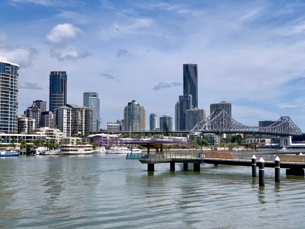
Brisbane’s transit is particularly useful for connecting visitor clusters that are awkward to combine on foot. The operational M1 and M2 Metro routes provide frequent busway service through important inner-city corridors. Trains are efficient for Roma Street, Central and Fortitude Valley, while buses fill many gaps beyond rail. CityCats and other ferries are useful for New Farm, Kangaroo Point and riverside destinations. Ordinary Translink journeys cost 50 cents, and contactless payment works across buses, trains and ferries. Weekend Metro service runs around the clock, with additional late-night options elsewhere in the network.
Arriving From Brisbane Airport Without a Car
Airtrain gives Brisbane a straightforward airport arrival. Trains run directly from Brisbane Airport to Central, Roma Street, Fortitude Valley and South Brisbane. The operator quotes about 20 minutes to the CBD, with 15-minute weekday peak service and 30-minute off-peak service. Weekends and public holidays generally run every 30 minutes. The service does not operate overnight, so very late flights need another option. Airtrain also uses a separate airport fare rather than Translink’s 50-cent city fare.
When a Car Actually Helps
A car is unnecessary for the central two-day itinerary. It becomes more useful when a trip shifts toward dispersed outer destinations or regional exploration. Mount Coot-tha sits outside the central walking network, while Lone Pine is about 12 kilometers from the CBD. Eat Street Northshore is better treated as a CityCat outing than a long city walk. Moreton Island is a separate ferry excursion, not part of Brisbane’s pedestrian core. Gold Coast and Sunshine Coast trips are regional journeys and do not change the city’s walking profile.
Walking Limitations and Practical Tips
The river creates longer routes whenever the nearest bridge is not aligned with your destination. Kangaroo Point also has a real split between the lower riverfront and elevated cliff streets. Fortitude Valley and parts of Spring Hill add moderate grades and busier intersections. Riverside paths can mix walkers with bicycles or other active travel, even where newer sections separate movements. Shade is good in many parks and on parts of the newest bridge infrastructure, but exposed river crossings remain sunny. Construction around Roma Street can occasionally change footpath routing, so follow signed detours when works affect the area.
Seasonal Walking Conditions
Brisbane’s warm climate supports long walking days for much of the year, but exposed bridges and riverfront paths can become hot in stronger sun. Shade and water matter on longer routes, especially during warmer afternoons. Storms and humid conditions can also change the pace, so schedule the longest exposed sections earlier when the forecast is hot.
Bottom Line
Brisbane is strongest when the weekend is built around the CBD, South Bank, the gardens, and pedestrian river crossings. Those areas form a coherent central experience with multiple ways to cross the river on foot. Fortitude Valley, Howard Smith Wharves and New Farm add worthwhile second-day extensions, but they are not equally central. Use rail, Metro, buses or ferries for the longer gaps and save a car for outer or regional trips.