
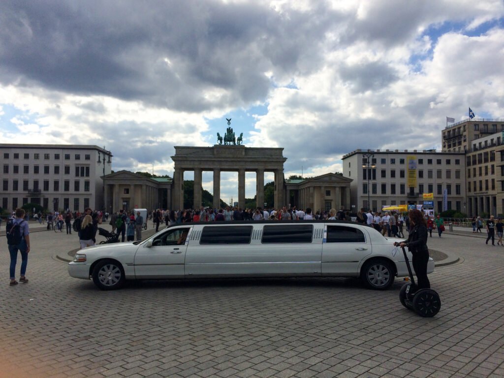
Rather than one compact historic center, Berlin offers several strong walking districts connected efficiently by rail. Mitte gives the clearest continuous sightseeing spine, from Alexanderplatz and Museum Island west along Unter den Linden. Brandenburg Gate, the Holocaust Memorial, Reichstag, and Tiergarten then continue the central sequence with little elevation. The pattern breaks when a weekend expands toward Bernauer Straße, Kreuzberg, or the East Side Gallery. Those areas are excellent to explore on foot after arrival, but they add real cross-city mileage. Berlin’s flat terrain keeps walking easy; its scale determines when transit becomes the smarter connector.
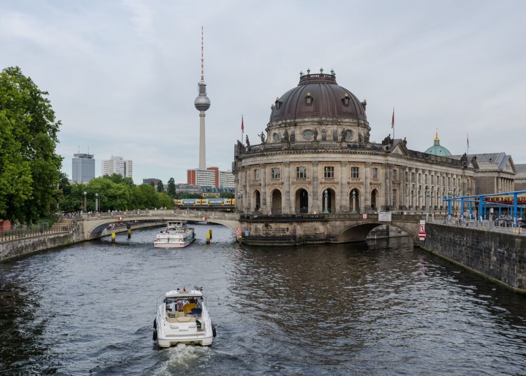
Why Berlin Works Well on Foot
Mitte has Berlin’s strongest continuous walking geography. Alexanderplatz leads west to the Spree, Museum Island, Humboldt Forum, and Berlin Cathedral. From there, Unter den Linden runs 1.5 kilometers toward Brandenburg Gate, passing major cultural and historic landmarks. The Reichstag and Holocaust Memorial sit only a short continuation from the gate.
This central chain is unusually flat, and its major landmarks make navigation simple. Tiergarten begins beside Brandenburg Gate and adds long, traffic-free park paths. Friedrichstraße provides a clear north-south reference through the center, while Gendarmenmarkt and Checkpoint Charlie fit naturally into a southern detour.
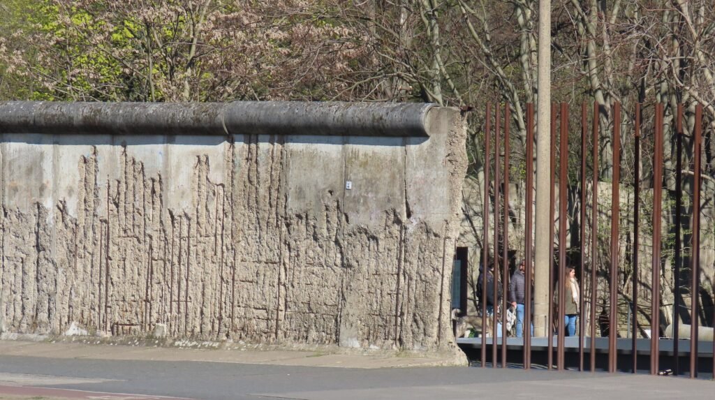
Berlin becomes less walkable when the itinerary expands beyond this spine. The Wall Memorial sits north on Bernauer Straße, while Kreuzberg and the East Side Gallery extend the visitor map southeast. Each area works well on foot once reached. Walking between every cluster, however, spends too much of a short weekend on low-value mileage.
Best Areas to Stay for Walking
Mitte is the strongest first-time base, especially around Museum Island, Unter den Linden, Friedrichstraße, and Hackescher Markt. This area keeps the central monuments, museums, restaurants, and several rail lines close enough for spontaneous walking.
Friedrichstraße and Gendarmenmarkt work especially well for balancing the eastern sights with Brandenburg Gate and Checkpoint Charlie. They also make north-south rail trips simple when the route shifts toward Bernauer Straße or Kreuzberg.
Alexanderplatz and Hackescher Markt suit travelers who prioritize Museum Island and fast east-side connections. The tradeoff is a longer walk to Brandenburg Gate and the Reichstag, though the central route remains straightforward.
Kreuzberg or Friedrichshain can be excellent local bases for neighborhood-focused trips. They are less efficient for a first visit dominated by Museum Island, Brandenburg Gate, and the government district, so expect more rail use.
Realistic Walking Times Between Major Sights
Alexanderplatz to Museum Island is roughly 15 minutes on foot. Museum Island to Brandenburg Gate takes about 20 minutes along Unter den Linden. Brandenburg Gate to the Reichstag is about 5–10 minutes. Museum Island to Checkpoint Charlie is roughly 25 minutes. The East Side Gallery and Wall Memorial are better treated as separate clusters rather than extensions of one central walk.
These are representative planning times, not promises. Signals, crowds, route choice, museum entrances, and temporary works can change the final door-to-door walk.
A 2-Day Walk-First Route
The most efficient weekend uses one long central walk, then a second day with a deliberate U-Bahn connector. This avoids turning Berlin’s scale into unnecessary backtracking.
Day 1: Alexanderplatz, Museum Island and the Government District
Walking route
Day 1 — Alexanderplatz, Museum Island, Checkpoint Charlie & Reichstag
- Alexanderplatz
- Berlin Cathedral
- Bebelplatz
- Gendarmenmarkt
- Checkpoint Charlie
- Memorial to the Murdered Jews of Europe
- Brandenburg Gate
- Reichstag Building
Start at Alexanderplatz and walk toward Berlin Cathedral and Museum Island. Continue along Unter den Linden to Bebelplatz, then angle south to Gendarmenmarkt and Checkpoint Charlie. From there, head northwest to the Holocaust Memorial, Brandenburg Gate, and the Reichstag. The route finishes beside the government district instead of reversing toward Alexanderplatz.
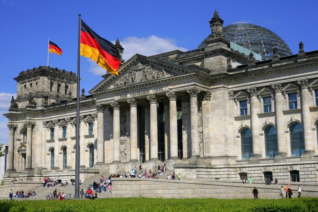
If energy remains, continue into Tiergarten rather than adding another museum district. The park begins immediately west of Brandenburg Gate and offers a calmer finish after the denser central streets.
Day 2: Wall Memorial, Kreuzberg and the East Side Gallery
Walking route
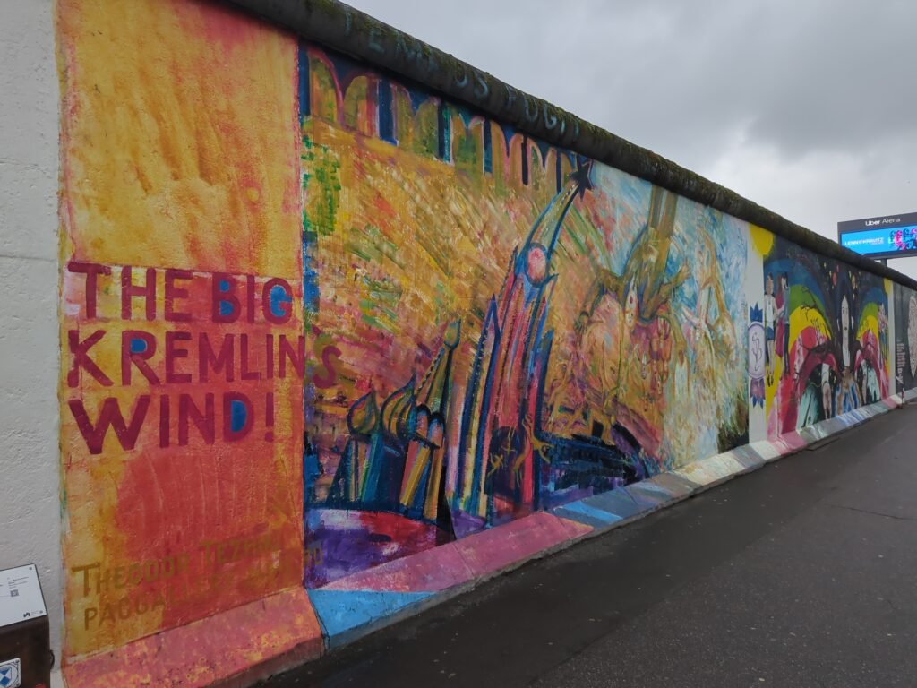
Day 2 — Berlin Wall Memorial, Kreuzberg & East Side Gallery
- Kottbusser Tor
- Oranienplatz
- Markthalle Neun
- Oberbaum Bridge
- East Side Gallery
- Warschauer Straße Station
Begin at the Berlin Wall Memorial on Bernauer Straße and walk the preserved border site. Then take the U8 from Bernauer Straße to Kottbusser Tor instead of walking several low-value kilometers across the city.
From Kottbusser Tor, follow Kreuzberg through Oranienplatz and Markthalle Neun toward the Oberbaum Bridge. Cross the Spree into Friedrichshain and finish by walking the East Side Gallery toward Warschauer Straße. This keeps the second day linear while still showing Berlin’s separated visitor geography.
When U-Bahn, S-Bahn and Trams Help
Berlin’s public transport is the reason its large scale rarely becomes a car problem. BVG operates nine U-Bahn lines and 22 tram lines, while buses fill the remaining gaps. The S-Bahn adds a dense cross-city and ring network that is especially useful between distant visitor districts.
Weekend service is a major strength. S-Bahn trains run continuously on weekend nights, and U-Bahn service also continues through the night. On weekdays, night buses replace U-Bahn routes after rail service ends.
Ticketing takes slightly more attention than in tap-in systems. A Berlin AB single ticket currently costs €4 and is valid for 120 minutes in one direction. A 24-hour AB ticket costs €11.20. One ticket covers S-Bahn, U-Bahn, trams, buses, and ferries within the purchased zones.
Paper tickets generally need validation before travel, while digital tickets must be activated when required. Berlin does not yet offer automatic smartphone ride charging. BER Airport is in zone C, so airport trips to central Berlin require an ABC ticket.
Arriving in Berlin Without a Car
BER Airport is unusually straightforward by rail. The station sits directly beneath Terminal 1, and the Airport Express links BER with Südkreuz, Potsdamer Platz, and Hauptbahnhof. The airport publishes an approximately 23-minute FEX trip between BER and Hauptbahnhof.
FEX runs every 15 minutes during its core 4 a.m.–1 a.m. span, with additional regional and S-Bahn services. The S9 also provides a direct cross-city airport connection every 20 minutes.
Berlin Hauptbahnhof is an equally strong rail gateway. Intercity and regional trains connect directly with local rail, U-Bahn, trams, and buses. Its location near the Reichstag and government district keeps onward travel short for many central stays.
When a Car Helps
A private car is unnecessary for the standard Berlin weekend and often complicates central sightseeing with parking and urban traffic. Rail is faster for the main visitor clusters and remains the better default for Potsdam.
A car becomes more useful when the trip expands into rural Brandenburg, lake districts, or several dispersed countryside stops. Collecting it after the Berlin stay preserves the advantages of walking and transit inside the city.
Walking Limitations and Practical Tips
Do not confuse flat terrain with short distances. Berlin can feel physically easy while still producing a very high step count. Plan by district and use rail whenever the next walk crosses several kilometers without adding meaningful sights.
Large intersections, tram crossings, and cycle traffic require attention even where sidewalks are continuous. Around Alexanderplatz and other major nodes, follow signals rather than assuming the most direct visual line is the best pedestrian route.
Tiergarten is excellent for walking, but its internal paths can add distance when you only need to reach the next district. Use it as a destination or scenic route, not automatically as the shortest connection.
Seasonal Walking Conditions
Berlin remains practical for walking throughout the year, but seasonal conditions change comfort and pacing. Summer offers long daylight and leafy park routes, while hot afternoons can make exposed boulevards tiring. Winter brings shorter days, cold, and occasional slippery surfaces. Spring and fall usually make long mixed walking-and-transit days easiest to pace.
Bottom Line
Berlin is best experienced as a collection of walkable districts rather than one compact pedestrian center. Mitte can fill a full sightseeing day on foot. The Wall Memorial, Kreuzberg, and East Side Gallery work better as separate walking clusters connected by rail. That combination makes a car unnecessary without pretending the city is smaller than it is.