
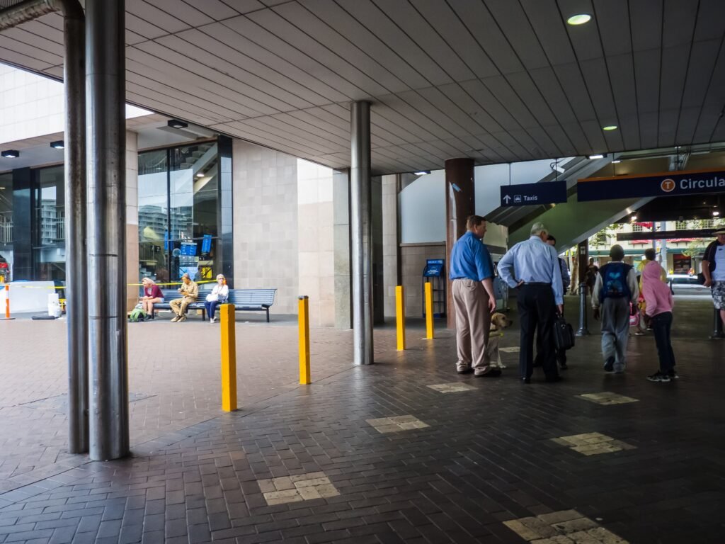
A ridge-and-harbor layout shapes nearly every central walk. Circular Quay, the Opera House, The Rocks, Barangaroo and Wynyard sit inside one connected northern network. Southward, Pitt Street Mall, QVB, Town Hall and Chinatown continue the visitor spine toward Central. The distances are reasonable, but the city repeatedly asks walkers to change levels. Historic stairs in The Rocks, CBD grades and downhill approaches to Darling Harbour add effort without breaking connectivity. The harbor edge can also force longer curves than the street grid suggests. Outer favorites such as Bondi and Manly remain separate trips, despite excellent rail, bus and ferry support.
Why Sydney Works Well on Foot
The strongest pedestrian chain starts at Circular Quay. From the quay, the Opera House is only about 6–10 minutes away, and the Royal Botanic Garden begins beside it. The Rocks starts almost immediately west of the quay. From there, walkers can continue beneath the Harbour Bridge toward Walsh Bay and Barangaroo, or cut through Argyle Street. Barangaroo’s direct Circular Quay route is about 1 kilometer, while the flatter waterfront option is about 1.9 kilometers. That difference matters: Sydney’s harbor edge is coherent, but it is not always direct.
The CBD adds a second strong walking layer. Martin Place, Pitt Street Mall, QVB and Town Hall sit along a practical north-south chain. George Street’s pedestrian upgrades improve long sections of this corridor, although construction can still affect parts of the northern end. Wynyard Walk gives Barangaroo an unusually clean pedestrian connection from the CBD without crossing a main city street. Hyde Park, St Mary’s Cathedral and the Australian Museum sit slightly east, so adding them to a westward Darling Harbour day creates extra cross-CBD mileage.
Best Areas to Stay Without a Car
Wynyard and the northern CBD offer the most balanced base for a short first visit. The Rocks, Barangaroo, Martin Place and Circular Quay are all close, and major rail services converge nearby. Circular Quay or The Rocks works even better for harbor-focused mornings, although historic stones and stairs can complicate luggage. Town Hall is stronger for Darling Harbour, Chinatown, QVB and Hyde Park. Central and Surry Hills suit travelers prioritizing restaurants and the southern inner city, but they add distance to the Opera House and The Rocks.
Typical Walking Times
| Walk | Typical walking commitment |
|---|---|
| Circular Quay → Sydney Opera House | About 6–10 minutes |
| Circular Quay → Royal Botanic Garden entrance | About 10 minutes |
| Circular Quay → The Rocks | About 2 minutes to the precinct edge |
| Wynyard Station → Barangaroo retail precinct | About 4 minutes via Wynyard Walk |
| Circular Quay → Barangaroo Reserve | About 1 km direct; about 1.9 km on the flat waterfront route |
| Town Hall → Darling Quarter | A short downhill walk via Bathurst Street |
| Central Station → Surry Hills | About 10 minutes |
A 2-Day Walking Route
The two days use different halves of the central visitor footprint. Day 1 moves steadily west along the harbor after crossing the Botanic Garden. The second day follows the CBD south before turning once toward Darling Harbour, Chinatown and Central.
Day 1 — Botanic Garden, Opera House, The Rocks and Barangaroo
Walking route
Day 1 — Royal Botanic Garden, Opera House, The Rocks and Barangaroo
- Royal Botanic Garden Sydney — Woolloomooloo Gate
- Sydney Opera House
- Circular Quay
- Cadmans Cottage
- Argyle Stairs / Cumberland Street
- Sydney Harbour Bridge pedestrian lift — Cumberland Street
- Dawes Point Park
- Barangaroo Reserve
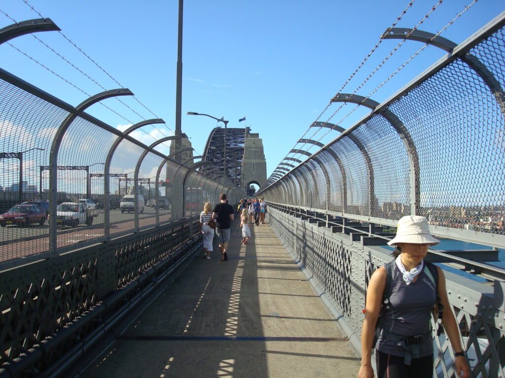
Begin inside the Royal Botanic Garden so the route reaches the Opera House without an eastward out-and-back from Circular Quay. Continue around the quay into The Rocks, then use the Argyle Stairs area to understand the district’s real elevation. The eastern Harbour Bridge walkway is a genuine extension to Milsons Point, with lift access at both ends. If you cross fully, finish on the north shore and return by train or ferry. Otherwise, stay south and descend toward Dawes Point before following the waterfront west to Barangaroo Reserve.
Day 2 — CBD, Darling Harbour, Chinatown and Surry Hills
Walking route
Day 2 — Martin Place, retail CBD, Darling Harbour, Chinatown and Surry Hills
- Martin Place
- Pitt Street Mall
- Queen Victoria Building
- Sydney Town Hall
- Tumbalong Park
- Dixon Street Chinatown
- Central Station
- Shannon Reserve, Surry Hills
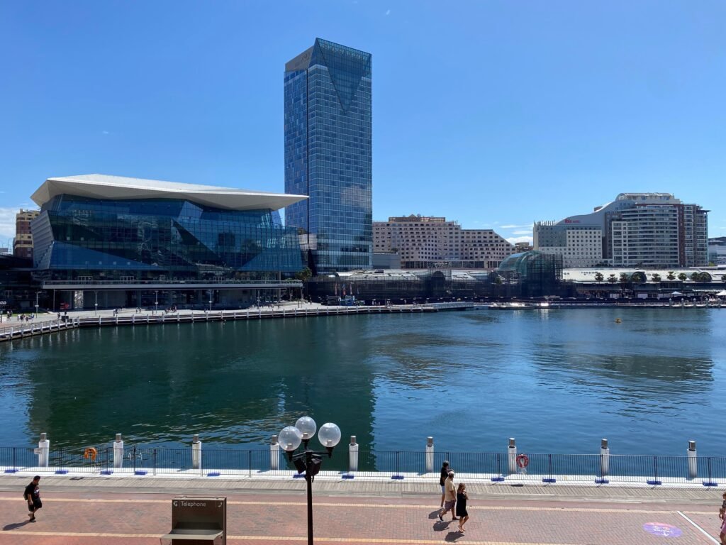
Start at Martin Place and walk south through Pitt Street Mall to QVB and Town Hall. From Town Hall, Bathurst Street gives a short downhill approach to Darling Quarter and Tumbalong Park. Continue south through Chinatown rather than returning to the CBD. Central Station then becomes a natural transition into Surry Hills, which begins about 10 minutes away on foot. Add Hyde Park, St Mary’s Cathedral and the Australian Museum only if those sights justify a cross-CBD detour before Darling Harbour.
When Transit Helps
Transit is most valuable when the next destination is genuinely outside the central walking network. Metro gives fast links among Barangaroo, Martin Place, Gadigal and Central, while light rail reinforces George Street and Surry Hills. T4 trains reach Kings Cross and Bondi Junction, with buses continuing to Bondi Beach and other eastern destinations. Contactless bank cards and mobile devices work across metro, trains, buses, ferries and light rail, making occasional rides simple for most adult visitors.
Ferries are especially useful, but they create separate walking zones rather than enlarging the central core. The F1 connects Circular Quay with Manly, while the F4 links Circular Quay, Milsons Point and Barangaroo. Taronga Zoo is across the harbor in Mosman and takes about 12 minutes by ferry from Circular Quay. These are excellent car-free outings, but none should be treated as a continuation of the CBD on foot.
Arriving from Sydney Airport
Sydney Airport has one of the city’s easiest car-free arrival chains. The T8 Airport & South Line serves stations at the International and Domestic terminals and continues to Central. Sydney Airport gives about 13 minutes by train to the city, with trains approximately every 10 minutes. Lifts and escalators connect the terminal precincts with the rail stations, so no external shuttle is required. An airport station access fee is added to the normal train fare, so the trip costs more than an ordinary city rail journey.
When a Car Helps
A private car is unnecessary for the standard 2–3 day central Sydney weekend. It can become useful when combining several dispersed beaches, suburban destinations or regional trips on one schedule. The Blue Mountains are a separate regional excursion rather than part of a central Sydney weekend. Even Bondi and Manly are usually easier as dedicated public-transport outings than as reasons to rent a car for the entire stay.
Limitations and Walking Tips
Do not read Sydney’s short central distances as uniformly easy walking. The Rocks has cobbled lanes, winding staircases and steep stone steps, while the CBD repeatedly changes level. Town Hall sits above Darling Harbour, and Potts Point requires an uphill approach from the center. Large signalized intersections can interrupt rhythm even where sidewalks are excellent. Construction around northern George Street or Barangaroo can occasionally alter pedestrian routes, so check current notices when walking through active work areas.
Seasonal Note
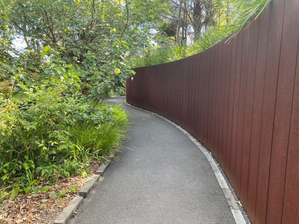
Warm weather can make exposed harbor walks feel much longer than the map suggests. Barangaroo Reserve still has limited mature natural shade in some areas, so water and sun protection matter. Cooler months reduce heat load, but waterfront wind can change comfort quickly.
Bottom Line
Sydney works best as a large central walking network with several clearly separate outer excursions. Circular Quay, The Rocks, Barangaroo, the CBD, Darling Harbour, Chinatown and Central can support two full walking days. The main tradeoff is effort rather than basic connectivity: slopes, stairs and harbor curves add work. Use rail, light rail, buses and ferries for Bondi, Manly, Taronga Zoo and other outer destinations instead of stretching the central walking map beyond reality.