
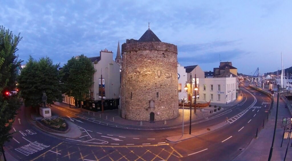
Within a few central blocks, the Viking Triangle meets The Mall, Barronstrand Street, John Roberts Square, and the riverside quays. That pattern keeps museum visits and ordinary city wandering inside one coherent pedestrian network. Cobbled historic streets and traffic beside the Suir add texture and occasional friction without creating major detours. The flat core also keeps walking effort low between the main sights. Compactness weakens most clearly at Plunkett Station, where travelers cross Rice Bridge before reaching the south-bank visitor area. People’s Park is a modest extension, while county attractions belong to separate excursions rather than the city walk.
Why Waterford Works Well on Foot
Waterford’s strongest walking advantage is concentration, not simply small-city scale. The Viking Triangle holds the main museum cluster within a very short circuit. Reginald’s Tower sits on the quay edge, Cathedral Square lies just inland, and The Mall continues directly past Bishop’s Palace and Waterford Crystal. The shopping core then extends naturally toward John Roberts Square and Barronstrand Street.
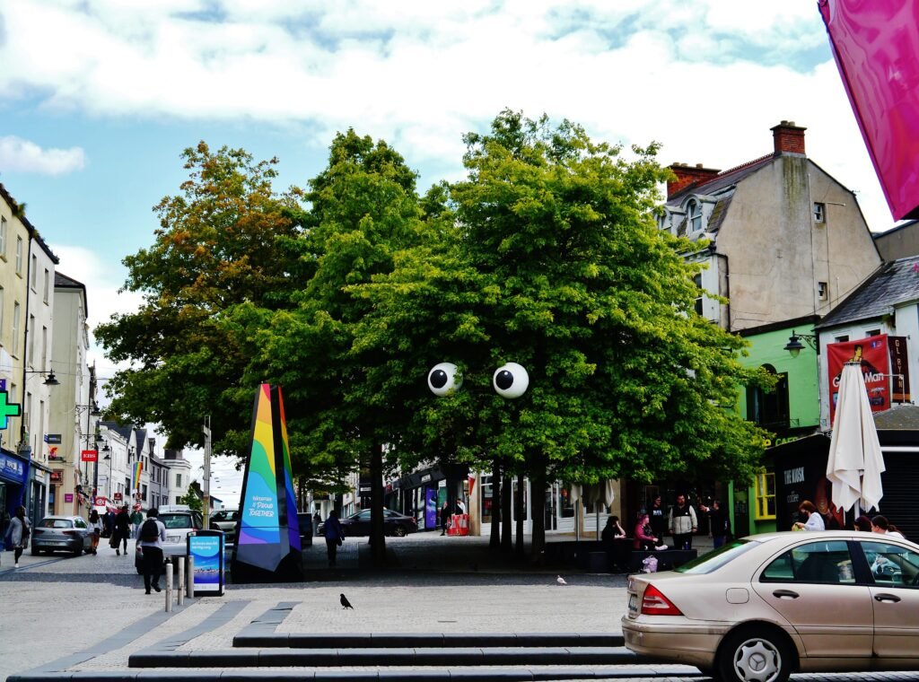
Pedestrian space is strongest once you leave the traffic-heavy quays. Council planning documents identify substantial pedestrianisation around Barronstrand Street, John Roberts Square, Arundel Square, Georges Street, Michael Street, and John Street. Historic cobbles and occasional narrow footways remain part of the experience, so short distances do not always mean perfectly smooth surfaces.
The Quays Are Useful, but Not Friction-Free
The River Suir gives Waterford an unusually clear orientation line. Visit Waterford describes the Quay walk as roughly one mile from Rice Bridge to William Vincent Wallace Plaza. The route also stays close to the Viking Triangle and shopping streets, making it useful rather than decorative. Road traffic, bridge approaches, and larger crossings reduce comfort compared with the pedestrian core.
Where the Compact Core Starts to Stretch
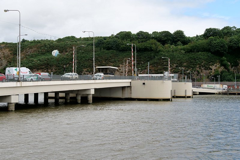
Plunkett Station is the clearest break in Waterford’s compact visitor geography. The station sits north of the Suir, so rail passengers must cross Rice Bridge before reaching the south-bank centre. TFI gives about 10–15 minutes to the broader city centre, while Waterford Treasures gives about 20 minutes to the Viking Triangle. With luggage, that distinction matters.
People’s Park is a reasonable walking extension southeast of the centre, rather than a separate transit trip. Farther destinations belong to another category. Mount Congreve, Tramore, Dunmore East, Copper Coast, Curraghmore, and the outer Waterford Greenway should not be treated as part of one city-centre walk.
Best Areas to Stay for Walking
The easiest base is inside or immediately beside the Viking Triangle, The Mall, or the central quays. That keeps the museums, Waterford Crystal, John Roberts Square, and the waterfront within short walks. Visit Waterford lists Dooley’s on Merchants Quay, the Granville near the Viking Triangle, and Waterford Marina Hotel on the Suir as central options.
Useful Walking Times
The most important walking times concern arrival rather than sightseeing. TFI gives about eight minutes between Plunkett Station and Waterford Bus Station, and 10–15 minutes to the broader centre. Waterford Treasures gives about 20 minutes from the station to the Viking Triangle. Inside the heritage core, its guided circuit is marketed as 1,000 years in 1,000 paces.
These are practical planning estimates rather than guaranteed walking times.
A 2-Day Walking Route
Day 1: Viking Triangle, The Mall and central streets
Walking route
Day 1: Viking Triangle, The Mall and central streets
- Reginald’s Tower
- Irish Museum of Time
- Medieval Museum
- Christ Church Cathedral
- Bishop’s Palace
- House of Waterford Crystal
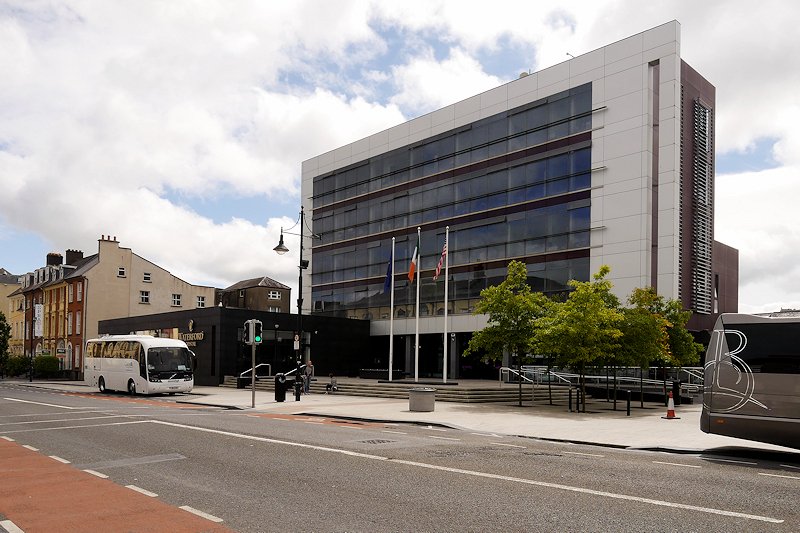
- The Mall / City Hall
- John Roberts Square
- Barronstrand Street
Begin at Reginald’s Tower and move inland through Greyfriars and Cathedral Square. Visit the Medieval Museum and Christ Church before continuing to Bishop’s Palace and House of Waterford Crystal. Follow The Mall west toward City Hall, then finish through John Roberts Square and Barronstrand Street. This compact route avoids repeatedly crossing the same museum streets.
Day 2: Plunkett Station, Rice Bridge and People’s Park
Walking route
Day 2: Plunkett Station, Rice Bridge, Cultural Quarter and People’s Park
- Waterford Plunkett Station
- Edmund Ignatius Rice Bridge
- Waterford Bus Station
- O’Connell Street Cultural Quarter
- Cathedral of the Most Holy Trinity
- Apple Market
- People’s Park
Start at Plunkett Station to understand the real gateway geography, then cross Rice Bridge once. Pass Waterford Bus Station and turn through O’Connell Street’s Cultural Quarter. Continue toward the Cathedral of the Most Holy Trinity, then Apple Market. Finish in People’s Park instead of adding weak regional mileage simply to lengthen the day.
When Transit Saves Time
Waterford’s compact center rarely requires a bus, but local services are useful for the railway station, outer neighborhoods and longer urban trips. The bus station on Merchants Quay also provides useful connections close to the city center.
Service frequencies and payment options vary by route and operator. Check current TFI and operator information before travel, especially for evening or Sunday journeys.
Arriving in Waterford Without a Car
Rail arrival is direct but not doorstep-central. Plunkett Station serves Dublin Heuston trains and regional connections, yet the main visitor core lies across Rice Bridge. The route is walkable, with improved paths and crossings around the bridge, but traffic exposure and luggage make a short bus or taxi reasonable for some travelers.
Dublin Airport is a practical international gateway for many visitors, with direct coach services available to central Waterford. The journey is considerably longer than a local airport transfer, so check current schedules and travel times before booking.
Airport and major transport infrastructure plans can change over time, so base your trip on services that are operating when you travel.
When a Car Helps
A car adds little to a standard two-day central visit. It becomes useful for County Waterford excursions where public transport is slower, infrequent, or indirect. Mount Congreve, the Copper Coast, Curraghmore, Dunmore East and other dispersed coastal destinations are better treated as separate regional excursions.
Walking Limitations and Practical Tips
Expect the easiest walking around Cathedral Square, The Mall, and the pedestrian shopping streets. The quays are more exposed to traffic, and Rice Bridge feels more like transport infrastructure than a relaxed promenade. Historic cobbles can also be awkward for small suitcase wheels, wheelchairs, and travelers who prefer very even surfaces.
Festivals, road works and other temporary traffic measures can occasionally alter central routes. Check current local notices when traveling during a major event.
Seasonal Walking Note
Rain and wind off the Suir can make the quays feel more exposed than the inland shopping streets, while shorter winter daylight affects longer waterfront walks. These conditions change comfort rather than the distances between Waterford’s main sights.
Bottom Line
Waterford works best as a compact south-bank city with one notable gateway exception. Stay near the Viking Triangle, The Mall or the quays and most sightseeing becomes a short walk. Use buses selectively, and treat the Rice Bridge station crossing as an arrival task rather than part of everyday sightseeing.