
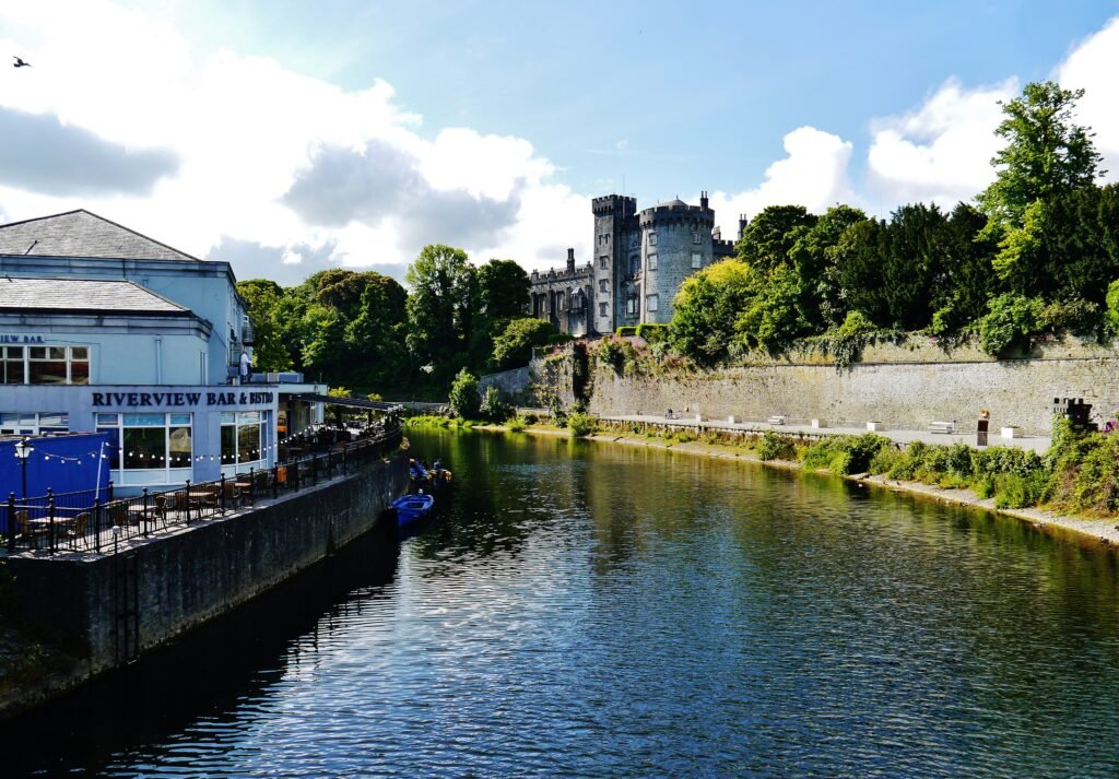
A one-kilometer chain of visitor sights runs north from the castle through High Street and Parliament Street. The Medieval Mile is therefore a real walking spine, not just a tourism label. Rothe House and Smithwick’s sit midway, while St Canice’s rises above the northern end. East of the Nore, Butler Gallery and MacDonagh Station remain close, but they sit outside that narrow line. John’s Bridge handles the most direct central crossing, while other bridges support riverfront loops. Surfaces and gradients matter more than mileage here, especially on older lanes and the final approach toward the cathedral.
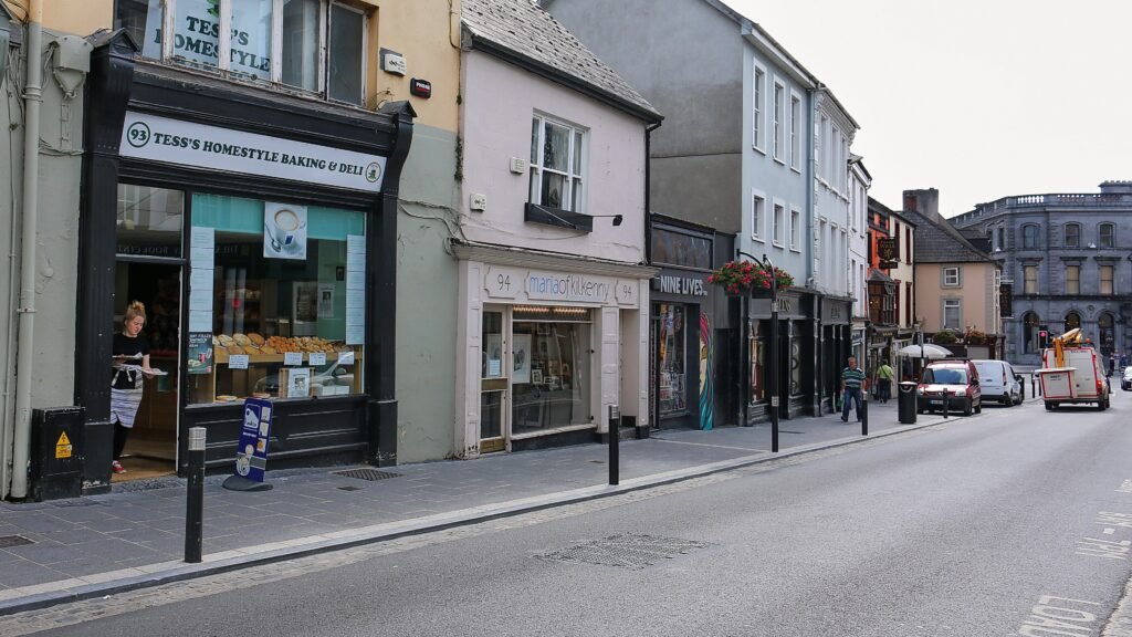
How Kilkenny Actually Works on Foot
Kilkenny Castle provides unusually useful distance checks for the central visitor map. The Medieval Mile Museum is 300 meters away, while Butler Gallery is 600 meters away. Rothe House and Smithwick’s Experience are each about 650 meters from the castle. St Canice’s Cathedral sits about one kilometer from the castle at the northern end of the spine.
That pattern makes the Medieval Mile genuinely functional. High Street and Parliament Street carry most of the north-south movement, while slips create short lateral connections. Kilkenny County Council highlights Butter Slip, Market Slip, and renovated lanes linking High Street with St Canice’s and Black Abbey.
The northern end adds more effort than the map distance suggests. St Canice’s stands on a hill or mound above the gentler central streets. The climb is localized, not a citywide terrain problem. The Round Tower climb is optional and does not represent ordinary movement through Kilkenny.
How the River Nore Changes the Walk
The Nore is neither a major barrier nor a crossing-free promenade. John’s Bridge gives the most direct route between the castle side and John Street. It is especially useful for Butler Gallery, MacDonagh Junction, and the railway station. Official transport planning identifies narrow footpaths there, so directness is stronger than pedestrian comfort.
Lady Desart Bridge gives a pedestrian-only alternative farther north. St Francis Bridge serves Abbey Quarter and northern cross-river movement, with footpaths on both sides. Farther south, Ossory Pedestrian Bridge lets walkers combine Canal Walk and Lacken Walk into a complete river loop.
Best Areas to Stay for Walking
The Parade and castle end work best for immediate access to the southern heritage core. High Street and Parliament Street offer the most balanced position for the full Medieval Mile. John Street is especially practical for rail arrivals and Butler Gallery. Official tourism listings show central accommodation across these visitor-friendly areas.
Realistic Walking Times
| Walk | Typical time |
|---|---|
| Kilkenny Castle → Medieval Mile Museum | about 4–5 min |
| Kilkenny Castle → Rothe House / Smithwick’s | about 8–10 min |
| Rothe House → St Canice’s Cathedral | about 5 min |
| Kilkenny Castle → St Canice’s Cathedral | about 15 min |
| Kilkenny Castle → Butler Gallery | about 8–10 min |
| MacDonagh Station → Butler Gallery | under 10 min |
| MacDonagh Station → Kilkenny Castle | about 15 min |
These are practical planning estimates rather than guaranteed walking times. Crowds, crossings, luggage, wet surfaces and the final climb toward St Canice’s can change the pace.
A 2-Day Walking Route
Day 1: Castle to St Canice’s
Walking route
Day 1 — Castle, Medieval Mile and Cathedral Quarter
- Kilkenny Castle
- St Mary's Medieval Mile Museum
- Butter Slip
- Market Cross
- Rothe House & Garden
- Smithwick's Experience Kilkenny
- Black Abbey
- St Canice's Cathedral & Round Tower
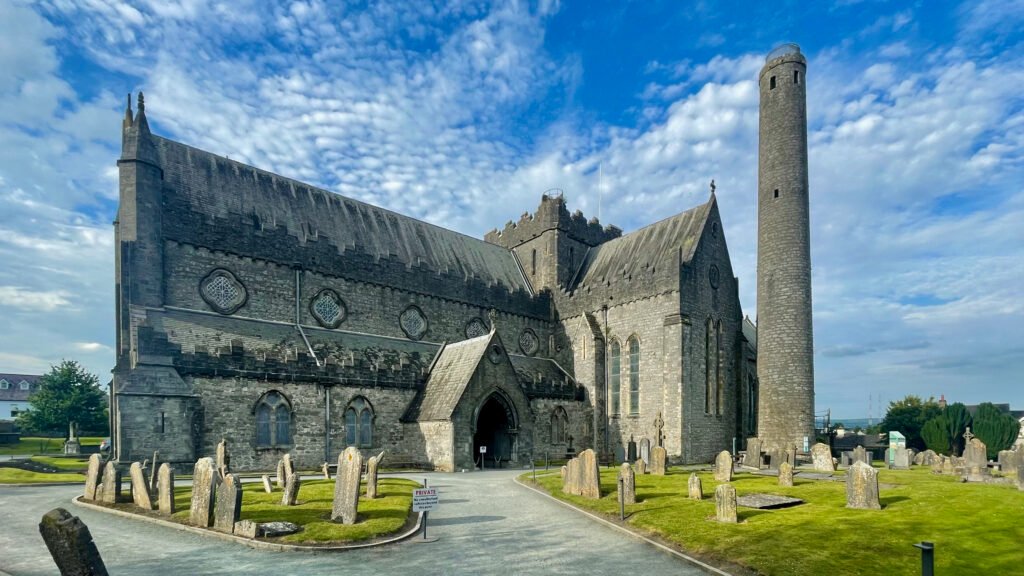
Start at Kilkenny Castle and follow the heritage spine north. Add the Medieval Mile Museum, Butter Slip, Market Cross, Rothe House, and Smithwick’s without leaving the core. Detour west to Black Abbey before continuing through the renovated northern lanes toward St Canice’s. This order finishes uphill instead of forcing a return to the castle.
Day 2: Station Side and the River Nore
Walking route
Day 2 — Station, Butler Gallery and River Nore loop
- Kilkenny (MacDonagh) Railway Station
- MacDonagh Junction and Kilkenny Famine Experience
- Butler Gallery at Evans' Home
- John's Bridge
- Kilkenny Castle Park
- Canal Walk
- Ossory Pedestrian Bridge
- Lacken Walk
- Kilkenny County Hall
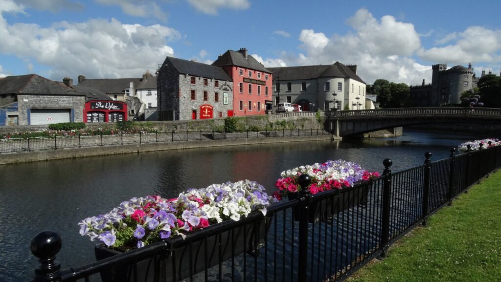
Begin at MacDonagh Station and use the direct station link into MacDonagh Junction. Continue to Butler Gallery on John’s Quay, then cross John’s Bridge toward Castle Park. Follow Canal Walk south, cross Ossory Pedestrian Bridge, and return north on Lacken Walk. The loop finishes beside County Hall and John’s Bridge without repeating the same riverbank.
Where Kilkenny’s Buses Help
Kilkenny’s city buses are most useful for station connections, MacDonagh Junction, outer districts and energy-saving trips beyond the Medieval Mile. Most central sightseeing remains simpler on foot.
Service frequency and ticket rules vary by route and day, so check current TFI information before travel rather than relying on fixed intervals or transfer rules in the guide.
Arriving in Kilkenny Without a Car
Kilkenny MacDonagh Station is unusually convenient for a small-city rail arrival. Kilkenny Castle places the station about a 15-minute walk from The Parade. Butler Gallery is even closer, at under ten minutes on foot. A completed link into MacDonagh Junction also lets passengers avoid the Dublin Road hill.
Dublin Airport is a practical international gateway for many visitors, with direct coach services available to central Kilkenny. The journey is still a substantial regional transfer, so check current coach times before travel. Rail is especially useful when arriving from Dublin city or another Irish rail destination.
When a Car Actually Helps
A private car adds little to the standard Kilkenny city weekend. It becomes more useful for rural County Kilkenny excursions such as Jerpoint Abbey, Kells Priory, Dunmore Cave, Castlecomer, or Woodstock Gardens. Treat those places as separate excursions rather than parts of the city weekend.
Walking Limitations and Accessibility
Short distances do not always mean perfect pedestrian conditions. Older streets can have narrow footways, uneven surfaces, vehicle interaction and tighter bridge approaches. Ongoing public-realm improvements may change individual streets over time, so follow current local conditions rather than relying on future plans.
The most noticeable terrain change is around St Canice’s and Irishtown. Most central routes remain gentle, while the cathedral’s elevated setting creates a modest final climb. Castle Park is largely level. Attraction interiors, including the optional Round Tower climb, should be assessed separately from city walking.
Seasonal Walking Note
Rain can make older paving and riverside paths feel slick, while shorter winter daylight affects longer river walks. These conditions change walking comfort rather than the distances between Kilkenny’s main sights.
Bottom Line
Kilkenny works best as a compact heritage spine with one station-side extension and one river loop. The castle-to-cathedral chain is genuinely walkable, not just compact on a map. Use city buses selectively, choose a central stay, and keep County Kilkenny excursions separate from the urban weekend.