
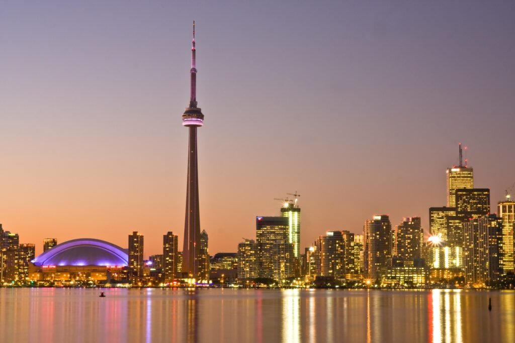
Between Union Station and Old Town, Toronto compresses several headline sights into a practical walking corridor. The CN Tower and Roundhouse sit south of the rail hub, while St Lawrence Market lies east along Front Street. Harbourfront adds excellent promenade walking, although the rail corridor and Gardiner still channel access toward specific crossings. North and west, the visitor map loosens around Kensington, Queen West, the ROM, and Yorkville. Those districts remain easy to reach, but they work better as separate walking clusters linked by TTC. That contrast defines a short stay: explore the core deeply, then use transit to reposition.
Why Toronto Works Well on Foot
Union Station is the hinge of Toronto’s strongest visitor walking geography. The CN Tower, Roundhouse Park and Ripley’s Aquarium sit just southwest, while the Financial District begins immediately north and east. Continue along Front Street and the same central system reaches the Hockey Hall of Fame, St. Lawrence Market and Old Town. Nathan Phillips Square and the Eaton Centre are also close enough to add without turning the day into a cross-city trek.
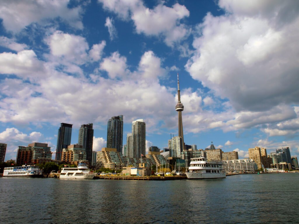
Harbourfront is both a strength and a useful reminder about Toronto’s physical structure. Waterfront Toronto’s rebuilt Queens Quay stretch runs 1.7 kilometres from Spadina to Bay, with a four-to-seven-metre pedestrian promenade. Union Station is only about a 10-minute walk away. Even so, the rail corridor, Gardiner and large downtown approaches channel the practical crossings toward the lake. Once you reach Queens Quay, the walking environment improves markedly.
PATH Helps, but It Is a Different Walking Network
Toronto’s PATH spans more than 30 kilometres of mostly underground restaurants, shops, services and entertainment. It connects Union Station with major Financial District buildings, transit stations, hotels and several visitor attractions. PATH is especially useful when weather makes outdoor walking less comfortable. However, it remains a separate indoor navigation layer through many privately controlled buildings. Use it as an all-weather option, not as a substitute for understanding the street-level route.
Best Areas to Stay for a Walking Weekend
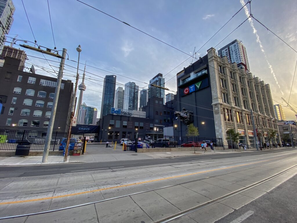
Financial District / South Core: the strongest all-round base for Union Station, the CN Tower precinct, Hockey Hall of Fame and waterfront approaches. Destination Toronto specifically highlights this area for hotel walkability to major central attractions.
Entertainment District: an excellent choice for the CN Tower, Ripley’s Aquarium, theatres and King West. It keeps most Day 1 sights close while preserving easy streetcar and subway access.
Old Town / St. Lawrence: best for market access, heritage streets and an eastern downtown feel. It remains central, although the CN Tower area and Queen West require longer walks.
Bloor-Yorkville: a strong base for the ROM, Yorkville and the university edge. It is not the best choice for repeatedly walking to Harbourfront, so Line 1 becomes more useful.
Walking Times Between Major Toronto Sights
Union Station to CN Tower: about 10 minutes. Harbourfront is also roughly 10 minutes from Union Station. St. Lawrence Market takes about 15 minutes from Union. St. Lawrence to Distillery: about 15–20 minutes. Union to Nathan Phillips Square: about 15 minutes. Nathan Phillips Square to AGO: about 10–12 minutes. AGO to Chinatown: about 10 minutes. Chinatown to Kensington: about 5–10 minutes. Union to ROM/Yorkville: about 35–40 minutes. These are practical planning estimates rather than guaranteed walking times.
A 2-Day Walking Route
Day 1: Union Station, Harbourfront and Old Town
Walking route
Day 1: Union Station, Harbourfront and Old Town
- Union Station
- Roundhouse Park
- CN Tower
- Harbourfront Centre
- Jack Layton Ferry Terminal
- Hockey Hall of Fame
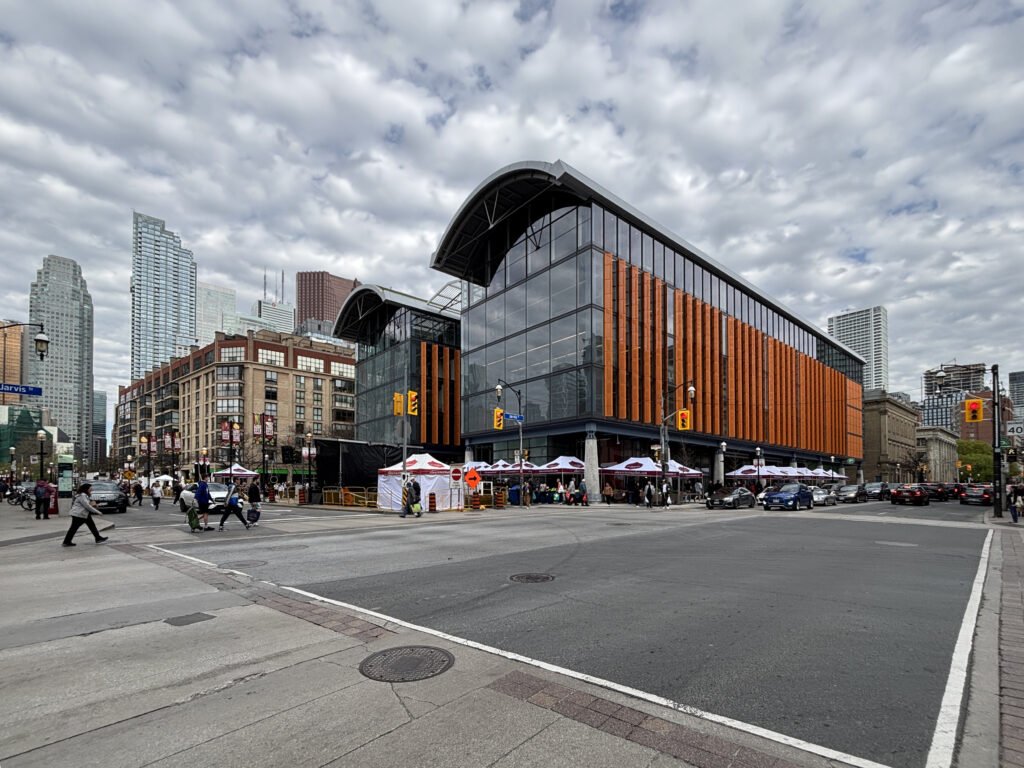
- St. Lawrence Market
- Gooderham Building
- Distillery Historic District
Start at Union Station, then cross into Roundhouse Park and the CN Tower precinct. Continue south to Harbourfront Centre, then follow Queens Quay east toward Jack Layton Ferry Terminal. The terminal is only a waterfront waypoint here; the islands are a separate ferry excursion. Turn inland for the Hockey Hall of Fame, then continue along Front Street to St. Lawrence Market and the Gooderham Building. Finish at the Distillery Historic District rather than retracing downtown. The 504A streetcar is a practical return toward King Street.
Day 2: Yorkville, City Hall, Chinatown and Kensington
Walking route
Day 2: Yorkville, City Hall, Chinatown and Kensington
- Village of Yorkville Park
- Royal Ontario Museum
- Queen's Park
- Nathan Phillips Square
- Art Gallery of Ontario
- Dragon City Mall
- Bellevue Square Park
- Graffiti Alley
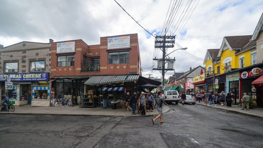
Use Line 1 or Line 2 to position near Yorkville if your hotel is downtown, then begin on foot. Walk from Village of Yorkville Park to the Royal Ontario Museum and Queen’s Park. Continue south to Nathan Phillips Square, then move west to the Art Gallery of Ontario. From there, enter Chinatown at Spadina and Dundas, cross into Kensington Market, and finish around Graffiti Alley and Queen West. The route moves south and west instead of repeatedly crossing downtown.
Getting Around Toronto Without a Car
Line 1 and Line 2 do most of the heavy lifting for a short visit. TTC publishes four-to-five-minute service outside rush hours on both lines, with two-to-three-minute trains during rush periods. Line 1 is especially useful between Union, the civic core, Museum and Bloor-Yonge. Line 2 handles the Bloor east-west axis and makes Yorkville-side repositioning simple.
Streetcars fill the gaps that the subway does not. The 504 King is useful for King Street and a Distillery return, 509 Harbourfront serves Queens Quay, and 510 Spadina links the waterfront with Chinatown. The 501 Queen is the natural corridor for Queen West. These services make separated visitor districts easy to combine without pretending they are close together on foot.
Payment is straightforward. An adult TTC ride costs CAD 3.30 with PRESTO or contactless debit or credit, including supported mobile wallets. Use the same card or device to receive the two-hour transfer. A one-day PRESTO ticket costs CAD 13.50. Subway service runs roughly 6 a.m.–2 a.m. Monday through Saturday and 8 a.m.–2 a.m. Sunday, with Blue Night service on major overnight routes.
Arriving in Toronto Without a Car
Toronto Pearson International Airport has an unusually clean downtown arrival chain for a major international gateway. UP Express reaches Union Station in 28 minutes and runs every 15 minutes, seven days a week. The adult one-way fare is CAD 12.35, or CAD 9.25 with PRESTO. The Pearson station is at Terminal 1 beside Terminal Link; Terminal 3 passengers use the free Terminal Link first.
Union Station is already inside the strongest visitor walking geography, so many central hotels require only a short walk or TTC ride after arrival. VIA Rail also brings intercity passengers from Montréal, Ottawa and other Canadian cities directly to Union. Billy Bishop is a useful short-haul alternative closer to downtown.
When a Car Helps
A private car adds little to the standard two-day central itinerary. Walking and TTC cover the core, Yorkville, Chinatown, Kensington, Queen West and the Distillery more efficiently than repeated parking stops. A car becomes more useful for multi-stop regional outings or dispersed destinations well beyond the central visitor map. Toronto Islands do not belong in that category: they require a ferry, not a car.
Limitations and Practical Tips
Toronto’s grid makes orientation easier than its size suggests, but it does not guarantee pleasant crossings everywhere. Large intersections, traffic volumes, streetcar tracks and boarding areas can slow a walking day. On King Street, transit has permanent priority and pedestrian space has expanded, but cars are still present. Around the waterfront, use the main north-south crossings instead of assuming every block reaches Queens Quay equally cleanly.
Treat the Distillery District as an Old Town extension, not as something immediately beside Union Station. Treat Yorkville, Kensington and Queen West as separate walking clusters when planning time. St. Lawrence Market’s South Market is closed on Mondays. For the islands, buy ferry tickets ahead when useful and expect peak weekend waits that can exceed 30–60 minutes.
Toronto also experiences frequent construction and transit diversions. Check TTC service alerts and city street notices on the day you travel, especially around major events. These changes can affect the best walking or transit route on a particular day.
Seasonal Walking Note
Winter snow, ice and wind can make the same downtown distances feel harder, while summer heat and humidity can shorten comfortable walking range. PATH becomes particularly useful during poor weather in the Financial District and Union area. Dress for the season and keep one transit reposition available when conditions make a long walk less appealing.
Bottom Line
Toronto works best as a walking-first, transit-supported weekend. Build one day around Union Station, the waterfront and Old Town, then spend another moving through northern and western cultural districts. The grid keeps orientation simple, but large intersections and long cross-city distances make selective TTC use worthwhile. A private car adds little to the standard central itinerary.