
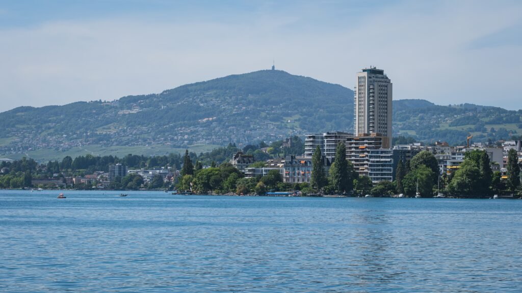
Montreux unfolds as a narrow lakeside city, with most visitor movement following Lake Geneva rather than a traditional central grid. The promenade creates an easy east–west walking spine between hotels, the market, Freddie Mercury statue, and casino. Montreux station sits immediately above this strip, connected through several levels rather than directly onto the waterfront. That vertical separation adds short climbs, stairs, escalators, or lifts to otherwise modest distances. Farther east, Territet extends the shoreline walk toward Chillon, but the castle remains a genuine outer destination. Walking works best when you treat the waterfront as the core and transit as backup for the elongated edges.
Why Montreux Works Well on Foot
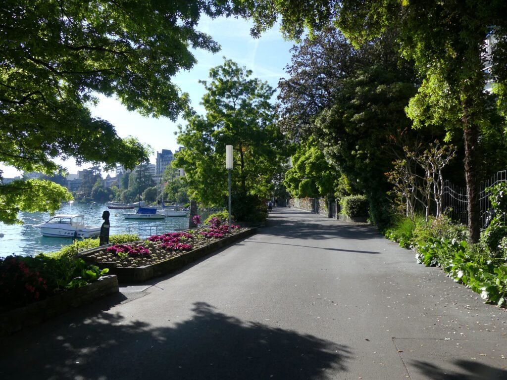
Montreux’s strongest walking asset is its shoreline continuity. The official promenade runs 6 km from Montreux toward Villeneuve, passing Chillon along the way. Central sightseeing occupies only part of that length. Place du Marché, the Freddie Mercury statue, Quai de la Rouvenaz and the casino sit close together beside the lake. The waterfront is largely level, while streets rising inland introduce the city’s main everyday climbing.
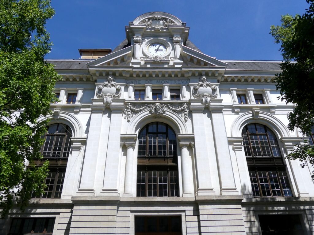
The railway station is exceptionally convenient geographically, but it is not at promenade level. SBB’s station plan shows track, mezzanine and city levels, plus lake-facing exits. Stairs, escalators and lifts connect those levels. That makes the vertical change manageable, although travelers with luggage should expect more than a flat curb-to-hotel transfer.
Where to Stay for the Easiest Walking
The easiest bases sit between the station and central lakefront. Grand Hôtel Suisse-Majestic occupies the station area, while Fairmont Le Montreux Palace anchors the western central waterfront. Eden Palace au Lac sits directly on the promenade near Place du Marché. Other central hotels fill the same narrow strip, so most visitors can keep daily sightseeing close without choosing an outer lakeside base.
Useful Walking Times
From Montreux station, allow about 5–8 minutes to reach the central lakefront and roughly 8–10 minutes to Place du Marché. Place du Marché to the casino is about 4–5 minutes. Casino to Territet is roughly 18–22 minutes along the lakeside direction. Château de Chillon is the clearest distance marker: its official guidance gives about 45 minutes, or 4 km, from Montreux.
A 2-Day Walking Route
These two days follow Montreux’s linear geography instead of forcing repeated out-and-back promenade walks. The first covers the compact central strip. The second continues east to Chillon and uses transit for the return.
Day 1 — Station, Central Lakefront and Casino
Walking route
Day 1 — Station, Central Lakefront and Casino
- Montreux Railway Station
- Montreux Music & Convention Centre
- Quai de la Rouvenaz
- Place du Marché and Freddie Mercury Statue
- Casino Barrière de Montreux
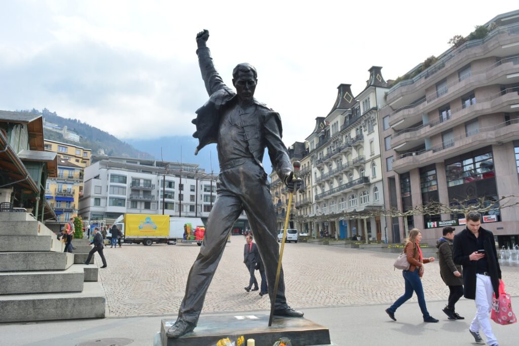
Begin at Montreux railway station and use the lake or city-center exit to descend toward the waterfront. Turn west briefly toward the Fairmont and convention-center frontage, then follow the promenade east. Quai de la Rouvenaz leads naturally to Place du Marché, the Market Hall and Freddie Mercury statue. Continue a few minutes to Casino Barrière and the free Queen Studio Experience. This sequence keeps the central sights on one continuous lakeside line.
Day 2 — Territet and Château de Chillon
Walking route
Day 2 — Territet and Château de Chillon
- Casino Barrière de Montreux
- Quai des Fleurs
- Territet–Glion Funicular
- Château de Chillon
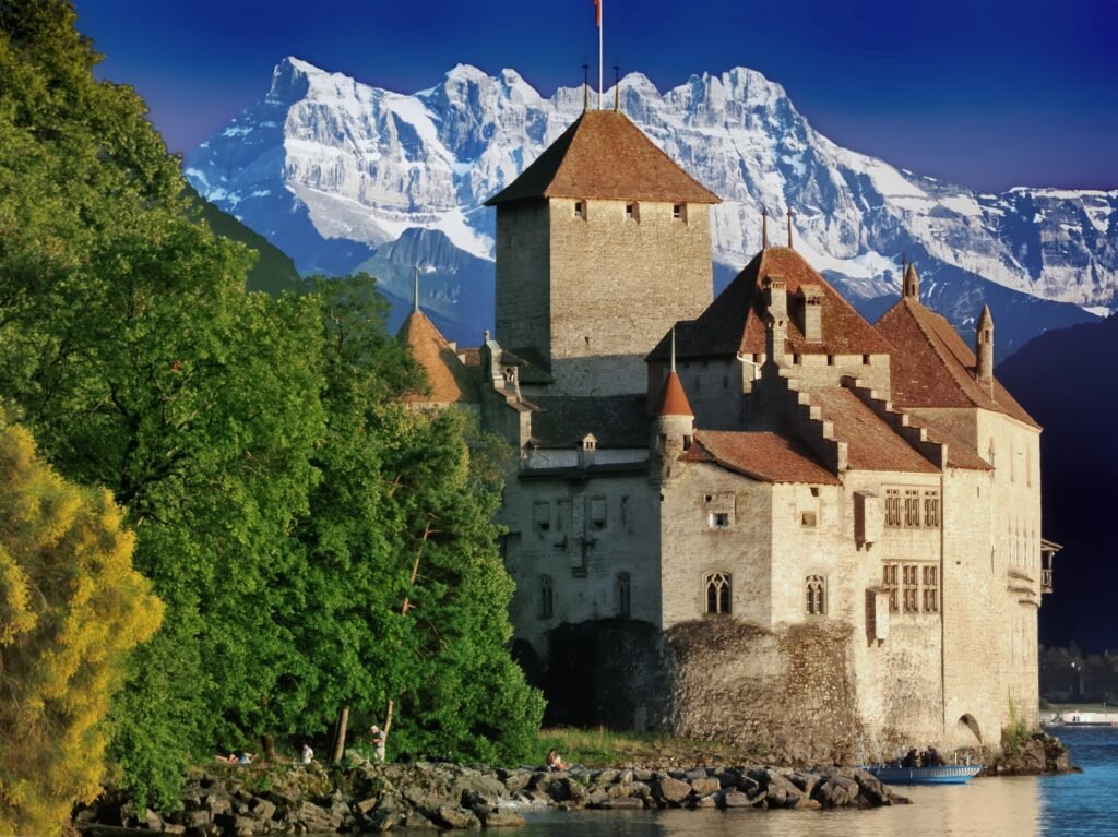
Start near the casino and continue east along the promenade toward Territet. The funicular station marks a useful intermediate access point rather than another large sightseeing district. Continue beside the lake to Château de Chillon, keeping the castle’s real distance visible. After visiting, return on VMCV line 201 instead of retracing the entire walk. The S5 regional train from Veytaux-Chillon is another practical option after a short station walk.
Using Transit in Montreux
VMCV line 201 is the most useful local service for visitors. It follows the lakeshore through Clarens, central Montreux, Territet, Chillon and Villeneuve. Daytime service is frequent, and the route continues into useful evening hours. Line 204 adds inland coverage, while regional trains provide another option for Chillon and neighboring towns.
Ticketing is straightforward even without a guest card. VMCV machines accept cards, TWINT and cash, and vehicles also carry ticket machines. FAIRTIQ and the SBB app provide digital alternatives under the Mobilis fare system. Qualifying overnight guests receive the Montreux Riviera Card with complimentary local public transport, but that benefit does not change the city’s underlying walking geography.
CGN boats can be useful when seasonal timetables align, including selected Montreux–Chillon journeys. Treat them as a scenic supplement rather than essential urban transport. Likewise, the Rochers-de-Naye railway is a major excursion connection, not evidence of comprehensive local transit coverage.
Arriving in Montreux Without a Car
Geneva Airport has direct rail connections to Montreux, making it a straightforward international arrival option without a car. Montreux station then places you close to the central visitor area, although it sits above the waterfront rather than directly beside it. Check the current SBB timetable for travel times and frequencies.
With light luggage, the short descent to central hotels is simple. With heavier bags, use the station’s lift or escalator routes where they match your exit. The central station makes the final transfer easy, although the airport-to-Montreux rail journey is still a meaningful part of the trip.
When a Car Actually Helps
A private car adds little to a focused Montreux weekend. Chillon, Vevey and Lausanne are easy to combine with public transport, while Rochers-de-Naye starts by mountain railway from Montreux. Lavaux and Gruyères are regional extensions rather than parts of the city’s walking footprint. A car becomes more useful for dispersed rural stops, remote trailheads or multi-stop alpine plans that public transport connects inefficiently.
Walking Limitations and Practical Tips
Do not judge every Montreux street by the promenade. Grand-Rue carries shopping, buses, cars and deliveries, so its walking environment feels busier than the waterfront. Upper streets also introduce slopes and vertical connections. Clarens is a useful western extension, but official planning documents show less seamless pedestrian conditions in parts of that corridor.
Temporary works or closures around Territet can alter the promenade route. Check current Commune de Montreux notices before travel and follow local signs if a lakeside section is closed. These short-term changes do not alter Montreux’s underlying walking geography.
Seasonal Walking Context
The lakefront can become much busier during the Montreux Jazz Festival, Freddie Days and Christmas-market periods. Event barriers, temporary traffic plans and transit changes can alter the best route for several days. Summer shade and waterfront breezes improve comfort, while rain, winter cold or occasional ice can reduce it. These seasonal conditions change the experience, not the city’s permanent pedestrian geography.
Bottom Line
Montreux works best when you accept its shape rather than treating it like a compact historic center. The station, main hotels, market, Freddie Mercury statue and casino form a convenient central walking strip. The promenade then extends that experience toward Territet and Chillon without making those places central. For a Walkable Weekend, walk the waterfront in one direction and let frequent transit remove the low-value return mileage.