
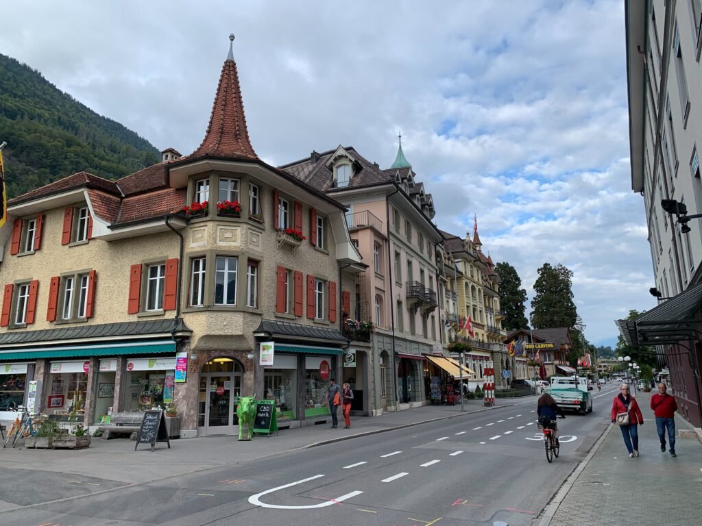
Interlaken is organized around a simple east-west spine rather than a dense collection of major city sights. Interlaken West feeds directly into Bahnhofstrasse, while Höheweg carries the central hotel, shopping and park corridor toward Interlaken Ost. The two stations sit about a 20-minute walk apart, with Höhematte near the middle. Unterseen branches west across the Aare, adding historic streets without creating a separate transport problem. The valley floor stays notably level, so the surrounding mountains rarely translate into difficult everyday walking. Regional rail connectivity is extraordinary, but the town’s own walkability comes from this compact pedestrian geography.
Why Interlaken Works Well on Foot
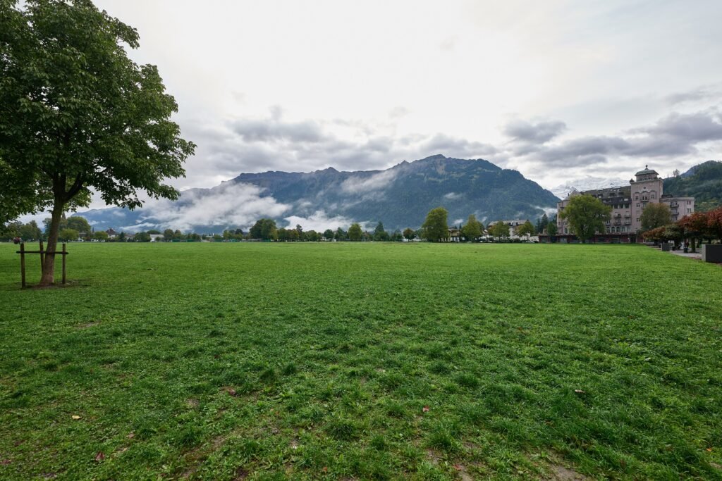
Interlaken’s most useful pedestrian feature is its simple shape. Interlaken West and Interlaken Ost sit on opposite sides of the visitor center, while Bahnhofstrasse and Höheweg connect the places most short-stay travelers use. Höhematte breaks up the built-up corridor with a large central green space, and the monastery, castle and Japanese Garden sit just east of it. Unterseen adds older streets and a quieter square across the Aare without requiring a separate transit trip. The result is a town where ordinary sightseeing rarely needs a bus, even though public transport is always close.
The important distinction is what lies beyond town. Jungfraujoch, Lauterbrunnen, Wengen, Mürren, Grindelwald and Schynige Platte are excellent car-free excursions, not walkable Interlaken neighborhoods. Lake Thun and Lake Brienz cruises work the same way. Their rail, bus and boat connections strengthen Interlaken as a base, but they should not make the town itself seem denser than it is.
Where to Stay for the Easiest Walking
Höheweg and Höhematte are the most balanced bases for a first visit. Hotels, restaurants, shops and visitor services cluster along this corridor, and both railway stations remain walkable. Staying near Interlaken West favors Unterseen, Bahnhofstrasse and straightforward luggage handling after arrival. An Interlaken Ost base is especially convenient for regional rail departures and the Harderbahn lower station. Unterseen works for travelers who prefer a calmer historic setting while remaining only a short walk from central Interlaken.
Practical Walking Times
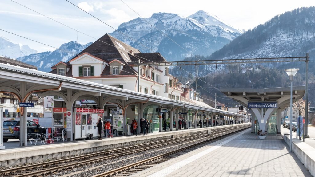
From Interlaken West, the central visitor area is about 5 minutes away. The full walk from West to Interlaken Ost takes roughly 20–21 minutes along the main corridor. Interlaken Ost sits about 10–12 minutes from Höhematte. Across the Aare, the Harderbahn lower station is around 5 minutes from Ost. Reaching Unterseen from central Höheweg generally takes about 5–10 minutes, depending on your starting point. These are practical planning estimates rather than guaranteed walking times.
A 2-Day Walking Route Through Interlaken
These routes keep the weekend centered on Interlaken itself. They use the town’s east-west geography, include genuine local sights and avoid padding the itinerary with distant Jungfrau Region attractions. Central transport remains optional because the walking distances are short.
Day 1 — Interlaken West, Unterseen and Höhematte
Walking route
Day 1 — Interlaken West, Unterseen and the central promenade
- Interlaken West railway station
- Stadthausplatz, Unterseen
- Tourismuseum
- Interlaken Tourist Information
- Bahnhofstrasse
- Höhematte
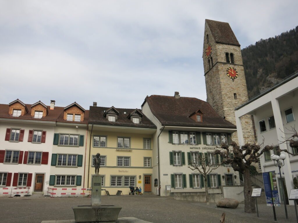
Start at Interlaken West and cross the Aare into Unterseen, where Stadthausplatz gives the day an immediate historic contrast. Continue to the Tourismuseum if it is open and interests you, then return toward central Interlaken via Marktgasse. Follow Bahnhofstrasse east into the main visitor spine and continue to Höhematte. This route keeps the old town as one compact loop before settling into the flatter, busier central promenade.
Day 2 — Höhematte, Interlaken Ost and the Aare
Walking route
Day 2 — Höhematte, Interlaken Ost, the Aare and Harderbahn
- Höhematte
- Monastery and Interlaken Castle
- Japanese Garden Interlaken
- Interlaken Ost railway station
- Harder Railway valley station
- Alpine Wildlife Park Interlaken
Begin at Höhematte and walk east through the monastery and castle grounds to the Japanese Garden. Continue toward Interlaken Ost, then cross the Aare to the Harder Railway valley station. The Alpine Wildlife Park beside the lower station makes a genuine local finish. From here, the Harder Kulm funicular is an optional mountain excursion, not part of the town walking route. Ending at the lower station shows how easily a walking-focused town visit can connect with a larger alpine excursion.
When Transit Actually Helps
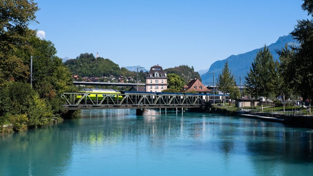
Most travel between Interlaken West, Höheweg, Höhematte and Interlaken Ost is simple enough to walk. Transit becomes more valuable when luggage, weather, mobility needs or a regional departure make saving time worthwhile. STI Line 21 directly links the two station areas through the center, while rail services provide another option between West and Ost. Check current departure times before choosing transit over the short cross-town walk.
Ticketing is unusually manageable. Libero zone 750 covers the local area, and tickets are available through public-transport apps, machines and sales points. Overnight guests receive the Interlaken Guest Card, which includes local public transport within its validity area. That benefit is useful, but visitors who do not have the card still use the same integrated public network. Lake cruises are better understood as excursions than as necessary transport for moving around central Interlaken.
Arriving in Interlaken Without a Car
Interlaken has no major commercial airport, so international arrivals usually continue by Swiss rail. Zurich Airport has direct long-distance connections to Interlaken, while other Swiss gateways also connect through the national rail network. Arriving at Interlaken West or Interlaken Ost places you directly inside the town’s visitor area, and both stations provide useful traveler facilities. The main consideration is the length of the rail journey rather than a difficult final transfer into town.
Which station is better depends on your stay. Interlaken West is convenient for Bahnhofstrasse and Unterseen, while Interlaken Ost is stronger for many onward regional rail trips. A central Höheweg hotel can be practical from either side. Treat the two stations as complementary entrances to one compact town, not as separate reasons to rent a car.
When a Car Helps
A private car adds little to a normal weekend focused on central Interlaken. Parking and road traffic can create more friction than the short town distances justify. A car becomes more useful for specific regional plans that public transport serves awkwardly, for luggage-heavy multi-stop road trips, or for accommodation well outside the core. Many of the area’s famous excursions are already designed around trains, buses, boats and mountain railways, so car-free travel remains one of Interlaken’s biggest practical strengths.
Walking Limitations and Useful Tips
The town is easy on the legs, but the central corridor is not a continuous pedestrian zone. Höheweg carries buses and road traffic alongside shops, hotels and sidewalks, so some crossings feel busier than the map suggests. Peak-season excursion traffic can also crowd the station approaches and central promenade. Unterseen’s historic setting adds character and older surfaces, while the main visitor corridor is generally straightforward. If you have luggage, limited mobility or poor weather, the short local bus connection can be more useful than its distance suggests.
Seasonal Walking Context
Interlaken’s central geography does not become less compact in winter or summer, but comfort changes with conditions. Rain, snow, heat and seasonal crowds can alter how a 20-minute cross-town walk feels. Mountain operations are more seasonal than the town itself, so check Harder Kulm and other excursion timetables separately. Those seasonal operating windows should shape the day’s plan, not the underlying judgment of Interlaken’s streets and distances.
Bottom Line
Interlaken works best when you treat it as a flat, linear town with two railway anchors and a compact central promenade. Walk between West, Unterseen, Höheweg, Höhematte and Ost; use transit when luggage or a regional excursion makes it worthwhile. The town itself offers fewer major urban sights than larger destinations, but its everyday visitor geography is unusually convenient. A car is unnecessary for the standard 2–3 day stay and becomes relevant mainly for selected regional plans beyond the rail-and-bus network.