
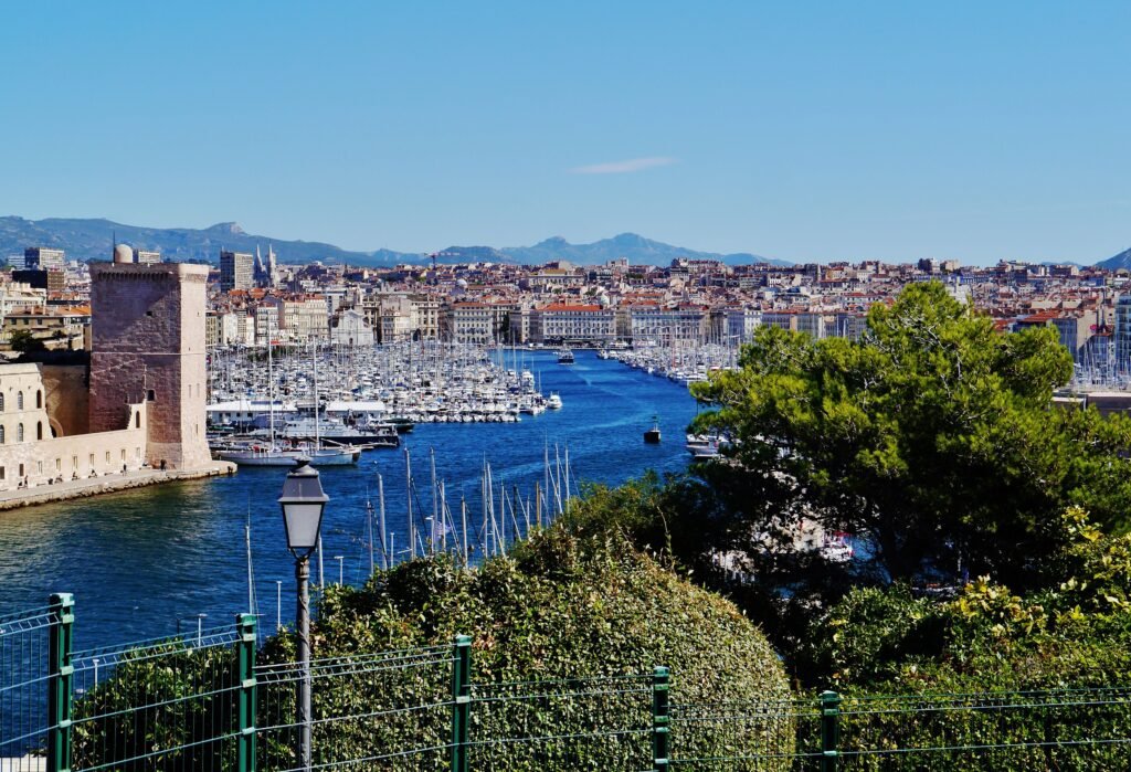
Marseille’s first-visit geography wraps around the Vieux-Port, then climbs sharply or stretches outward along the coast. Le Panier, Mucem, Fort Saint-Jean, and the lower Canebière sit close enough for an efficient walking day. Two Mucem footbridges stitch the old quarter directly to the J4 waterfront and Fort Saint-Jean. The pattern changes south of the harbor, where the shortest Old Port route to Notre-Dame gains 137 meters. The Corniche then adds several scenic coastal kilometers toward Prado, making distance as important as gradient. Marseille works best when walking defines each cluster and transit handles the climbs and longer waterfront transfers.
Why Marseille Works on Foot — and Where It Stops
The Vieux-Port is the hinge of Marseille’s most useful visitor geography. Walk north along Quai du Port and Le Panier rises immediately behind the waterfront. Continue through the old quarter and the Saint-Laurent footbridge leads directly into Fort Saint-Jean and Mucem. Head inland instead, and La Canebière runs straight toward Noailles and Réformés. This compact arrangement is why an official one-day itinerary can link several headline sights almost entirely on foot.
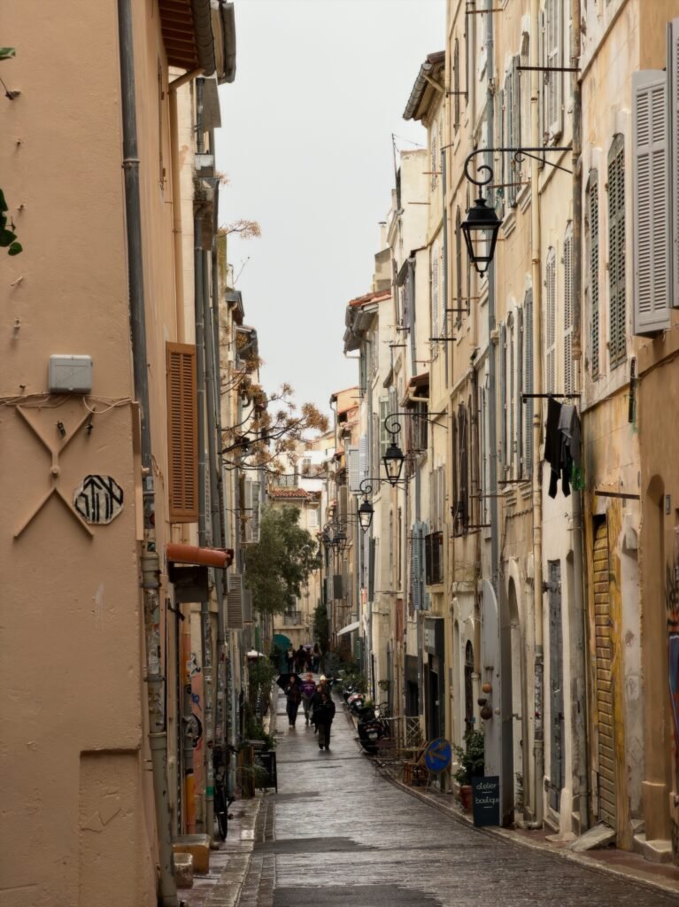
Pedestrian quality is less uniform than the distances suggest. The lower Canebière has wide pavements and a pedestrianized section near the harbor. Le Panier is different: narrow lanes, stairs, steep streets and crowded sidewalks can slow a short route. The Corniche again offers broad walking space for much of its length, but the Malmousque section becomes tighter and busier.
Terrain matters most when the route leaves the harbor level. Marseille Tourism measures the shortest Vieux-Port-to-Notre-Dame walk at about 2 kilometers with 137 meters of climbing. That is a meaningful ascent on a weekend already filled with stairs and waterfront mileage. The southern coast creates a different problem: the Corniche itself is about three kilometers from Catalans toward Prado.
Best Areas to Stay for a Walking Weekend
Vieux-Port / lower Canebière: the strongest default base for a first visit. Le Panier, Mucem, the harbor, Noailles and several metro stops are close, while buses cover the major hill and coast extensions. Official tourism listings include accommodation directly on lower Canebière and around the port, so there is no need to commute into the core.
Le Panier / Joliette: a good choice for atmosphere, Mucem and the northern waterfront. Joliette is flatter and better connected by metro and tram, while Panier stays involve more stairs and irregular lanes. Choose this area if old-town access matters more than having the easiest route toward the southern coast.
Castellane: practical for travelers who expect to spend more time south of the Vieux-Port. Metro access is strong, and bus connections toward the coast are useful. The tradeoff is simple: more of the historic harbor core becomes a transit trip instead of an immediate walk.
Realistic Walking Times
Gare Saint-Charles to Vieux-Port: about 20 minutes on foot according to Marseille Tourism. The station sits above the lower center, so the direction and luggage load matter more than the map distance suggests.
Vieux-Port to Mucem or Fort Saint-Jean: roughly 10 minutes to the nearest Mucem access points. The waterfront and footbridges make this one of the most efficient attraction-to-attraction links in the city.
Vieux-Port to Notre-Dame de la Garde: about 45 minutes for the shortest official route. The walk is only around two kilometers, but it gains roughly 137 meters and is rated quite difficult. Bus 60 is the sensible energy-saving option for many weekend visitors.
Vieux-Port to the start of the Corniche: roughly 20 minutes to the Catalans area. From there, Marseille Tourism gives about 45 to 60 minutes for the three-kilometer Corniche without sightseeing stops. Vallon des Auffes, beaches and viewpoints can easily turn that into a half-day coastal walk.
Across the Vieux-Port by Ferry Boat: the crossing is under five minutes and runs on a roughly 20-minute pattern. It is a charming shortcut when the timing works, but walking around the harbor can be faster than waiting.
A 2-Day Walking Route
These routes deliberately separate Marseille’s compact harbor core from its hill-and-coast extension. The first day is almost entirely on foot. Transit becomes useful on the second day, where the climb adds effort without much street-level value.
Day 1 — Canebière, Vieux-Port, Le Panier and Mucem
Walking route
Day 1 — Canebière, Vieux-Port, Le Panier and Mucem
- Église des Réformés
- Palais de la Bourse
- Ombrière du Vieux-Port
- Hôtel de Ville de Marseille
- Centre de la Vieille Charité
- Cathédrale La Major
- Église Saint-Laurent
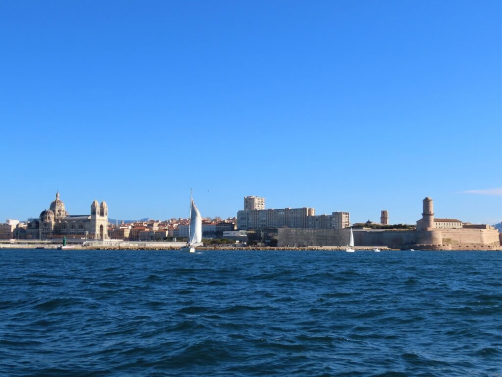
- Fort Saint-Jean
- Mucem
Start at Église des Réformés and walk down La Canebière toward the harbor. This direction uses the avenue once and avoids finishing the day with an unnecessary uphill return. At the Vieux-Port, follow Quai du Port past the Hôtel de Ville, then climb into Le Panier for Vieille Charité. Descend toward La Major and continue to Saint-Laurent. The footbridge takes you directly into Fort Saint-Jean, and the connected waterfront leads naturally to Mucem.
The mapped route is about 4.5 kilometers before museum interiors and optional Panier lanes. Allow substantially more time than the pure walking estimate because the old quarter rewards slow detours. Finish at J4 rather than retracing the route; both Vieux-Port and Joliette metro stations are about a ten-minute walk away.
Day 2 — Notre-Dame, Saint-Victor and the Corniche
Walking route
Day 2 — Notre-Dame, Saint-Victor and the Corniche
- Basilique Notre-Dame de la Garde
- Abbaye Saint-Victor
- Palais du Pharo
- Plage des Catalans
- Vallon des Auffes
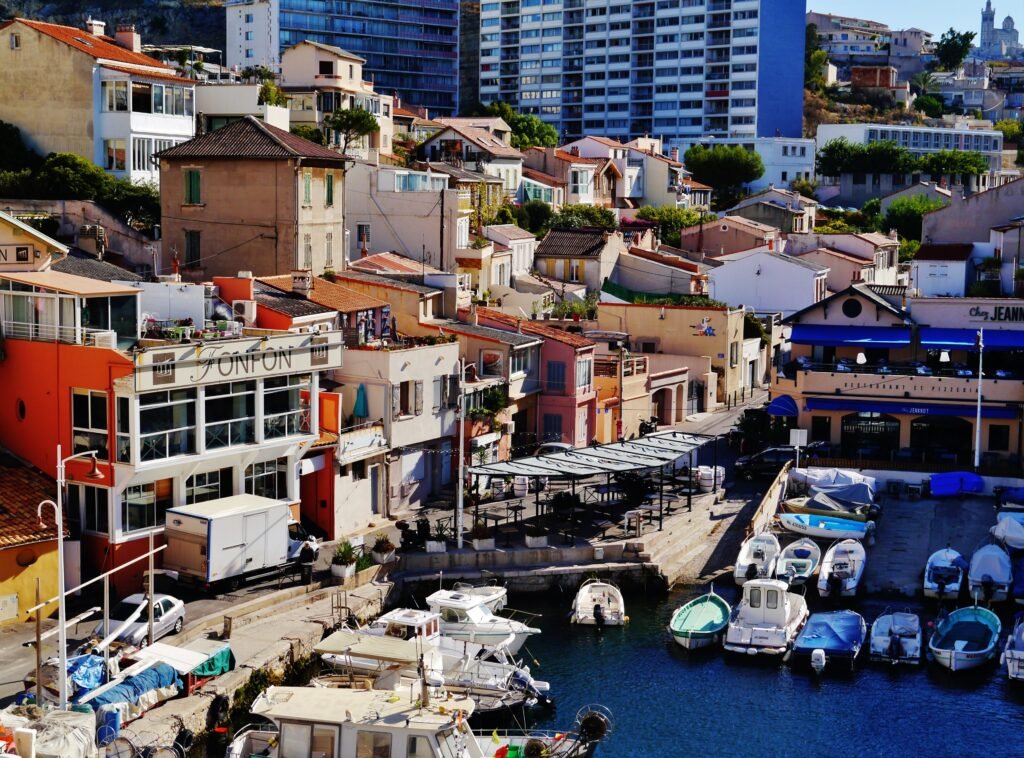
Take bus 60 uphill to Notre-Dame de la Garde before beginning the walking route. This removes the steepest two kilometers and preserves energy for the coast. Walk downhill through Saint-Victor, then continue to the Palais du Pharo and Plage des Catalans. From Catalans, follow the Corniche to Vallon des Auffes for the strongest scenic section without forcing the entire southern waterfront.
At Vallon des Auffes, decide whether the coast still deserves more of the day. Bus 83 can return toward the Vieux-Port or carry you farther south before another walk. Continuing all the way toward Prado is attractive, but it adds distance that many two-day visitors would rather spend inside neighborhoods or museums.
How Useful Is Marseille Public Transit?
RTM works best as a walking extender rather than a replacement for the compact harbor core. Metro lines connect Saint-Charles with the Vieux-Port, Noailles, Réformés, Joliette and Castellane. Trams add useful coverage through the center and Joliette, while buses reach visitor areas that rail misses.
Two bus routes are especially useful for this guide. Bus 60 removes the climb to Notre-Dame de la Garde, and bus 83 follows the Corniche. That combination lets a visitor keep the best walking sections without spending a large share of the weekend on steep or repetitive mileage.
Payment is unusually simple for occasional rides. RTM allows direct validation with a contactless bank card, phone or watch on metro, tram, bus and Ferry Boat services. The current standard contactless urban ride is €1.70. Use the same payment method consistently so the system can apply the correct fare logic.
The tiny Ferry Boat crosses the Vieux-Port in under five minutes and costs €0.50. It runs on a roughly 20-minute daytime pattern and can stop in unsuitable weather. Seasonal maritime shuttles also extend farther along the coast, but they should be treated as optional warm-season transport.
Arriving in Marseille Without a Car
Gare Saint-Charles is a strong rail gateway. It sits in the city center with both metro lines directly below the station. Marseille Tourism gives about 20 minutes for the walk to the Vieux-Port, although the elevated station position makes luggage relevant. For most central stays, a short metro ride is the easier arrival.
Marseille Provence Airport has a direct A1 shuttle to Saint-Charles. The airport publishes 101 round trips per day, usually every ten minutes through much of the day. Shoulder periods are commonly every twenty minutes. Normal travel time is about 30 to 50 minutes, so road traffic remains the main arrival uncertainty.
There is also a rail option through Vitrolles-Aéroport Marseille Provence station. It requires a short connecting bus from the terminals, so it is not a true terminal-to-center train. For most first-time visitors heading to the central city, the direct A1 is the simpler default.
When a Car Helps — and When It Does Not
A private car adds little to the normal Vieux-Port-centered weekend. The core sights are already concentrated, and transit covers the main hill and coastal gaps. Driving also does not automatically simplify a Calanques visit: the national park restricts several access roads permanently or seasonally and recommends RTM buses for multiple trailheads.
A car becomes more useful when the trip expands beyond Marseille into dispersed Provence countryside, villages or multi-stop coastal plans. That is a regional-extension decision rather than a requirement for the city itself. For a focused two- or three-day Marseille itinerary, staying central and using occasional transit is usually more efficient.
Limitations and Practical Walking Tips
Do not judge effort by distance alone. Le Panier’s stairs and Notre-Dame’s ascent can make short map distances physically demanding. If mobility or stamina is limited, use bus 60 for the basilica and approach Panier from its gentler edges rather than building a route around staircases.
The Corniche is scenic but long enough to distort a short itinerary. Walking from Catalans to Prado is feasible, yet every viewpoint, cove and detour extends the day. Use bus 83 when the coastline stops adding enough value to justify the mileage.
Pedestrian surfaces and widths vary more than in a uniformly pedestrianized historic center. Wide promenades can quickly give way to narrow old-town sidewalks, stairs or shared traffic space. Travelers needing step-free routes should consult current official accessibility guidance for the exact sights and streets they plan to use.
Seasonal Walking Comfort
Spring and autumn are the easiest seasons for long Marseille walking days. Summer heat increases the value of shade, water and shorter midday walks, especially on exposed waterfront sections. Winter can be pleasant, but the Mistral makes the coast feel much harsher and can affect maritime services.
Bottom Line
Marseille is best understood as a compact harbor walking city with physically distinct extensions. The Vieux-Port, Canebière, Le Panier and Mucem belong to one coherent pedestrian day. Notre-Dame and the Corniche are still easy to include, but they deserve transit support rather than forced all-day mileage. Choose a central base, walk the harbor geography deeply, and use RTM when the city starts climbing or stretching south.