
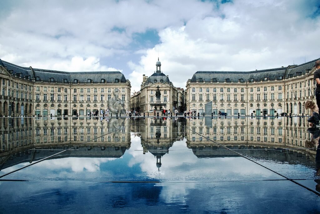
The Garonne gives a Bordeaux weekend a clear edge, with the old city extending west from an unusually continuous riverfront. Place de la Bourse, Saint-Pierre, Pey-Berland and Saint-Michel sit close enough to link through high-value walking rather than transfers. Rue Sainte-Catherine adds a roughly 1.2-kilometer pedestrian spine, while the quays provide a flatter, more open alternative. Chartrons continues the walk north with little geographic break. The pattern changes beyond there, where Cité du Vin and Bacalan add distance even though tram service remains strong. That combination makes base location matter less than in many larger cities.
Why Bordeaux Works So Well on Foot
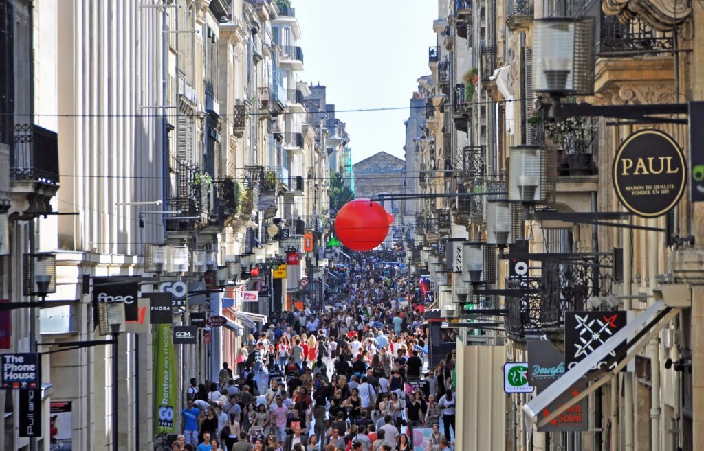
The central walking network has two unusually strong spines. Rue Sainte-Catherine runs about 1.2 kilometers between Place de la Comédie and Place de la Victoire, and it has been almost entirely pedestrianized since 1984. Around it, Bordeaux has continued expanding controlled pedestrian sectors, including streets around Saint-Éloi, Pey-Berland and Bordeaux Sud. This matters because a visitor can move between monuments, markets and squares without repeatedly negotiating through traffic.
The second spine is the Garonne. Bordeaux Tourism publishes an 8-kilometer accessible quays route graded very easy, linking major riverfront points across both banks. You do not need to walk the full circuit to benefit from it. Between Saint-Michel, Place de la Bourse, Quinconces and Chartrons, the broad quays offer a direct, flat alternative to the tighter historic streets.
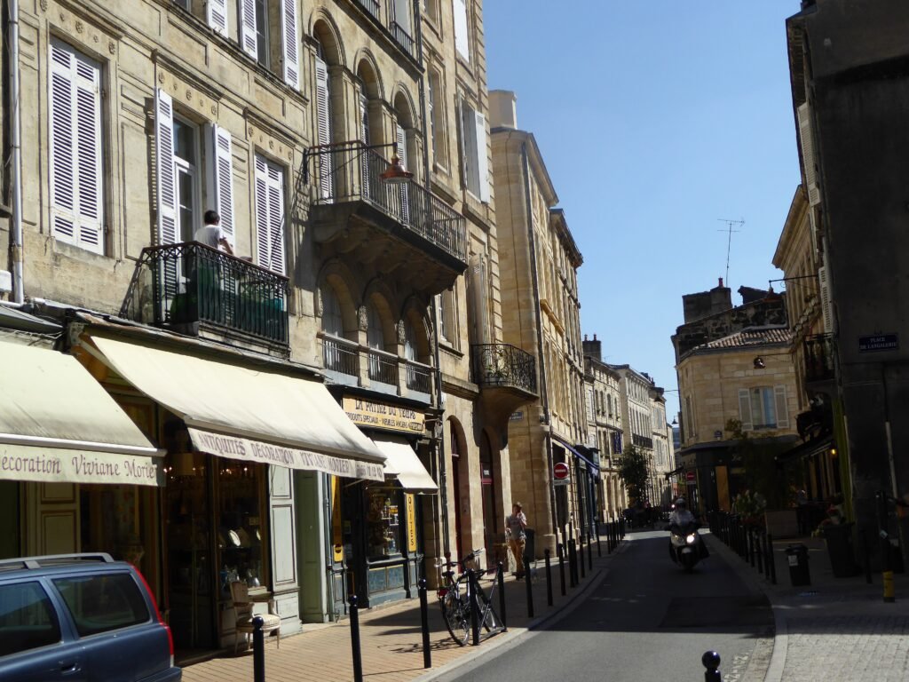
Pedestrian quality is strong without being flawless. The old city still has some cobbled surfaces, and tram tracks can require attention at central crossings. Shared cycling space and crowds on Rue Sainte-Catherine also slow the pace at busy times. Those are comfort issues rather than reasons to abandon a walk-first itinerary.
Best Areas to Stay for a Walking Weekend
Saint-Pierre, the Golden Triangle and the Pey-Berland area are the easiest default bases for a first visit. Place de la Bourse, the Grand Théâtre, Rue Sainte-Catherine, the cathedral and the river all sit within short walks. This central zone also gives you multiple tram options when the itinerary reaches Bacalan or the station.
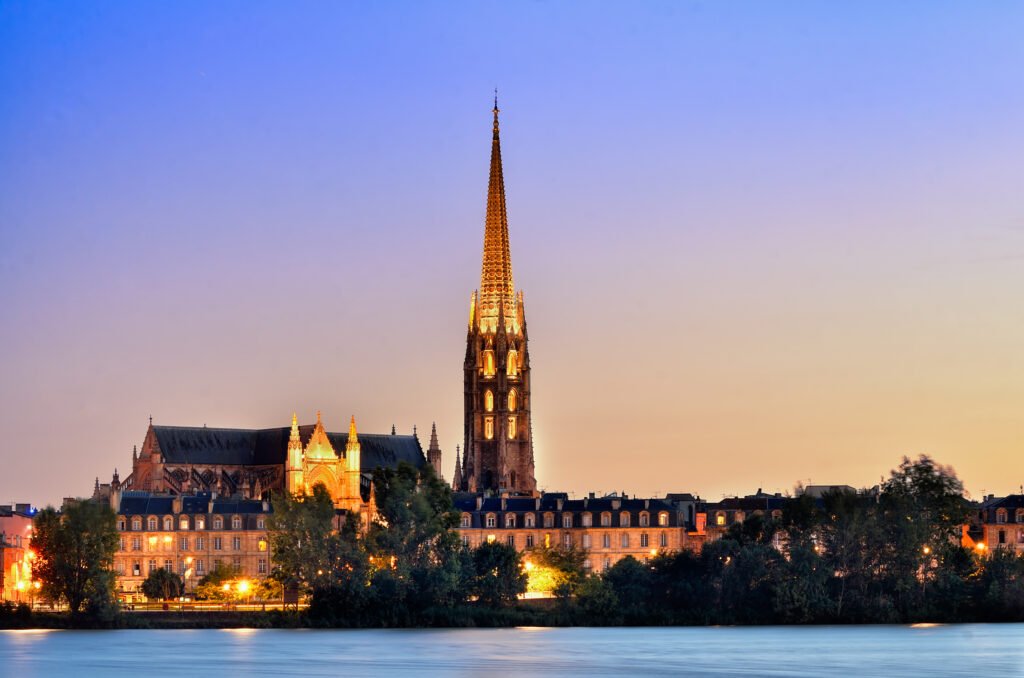
Saint-Michel and Sainte-Croix work well for travelers who prefer markets and a livelier neighborhood feel. Marché des Capucins, the basilica and the old city are close, while Saint-Jean station remains practical on arrival day. The trade-off is a slightly longer walk to Chartrons and the northern sights.
Chartrons is the strongest alternative for a quieter, more residential-feeling base beside the central visitor map. Jardin Public, Rue Notre-Dame and the quays are immediately useful, and Cité du Vin is closer. The southern historic sights remain walkable, although a central tram ride can save time after a long day.
A hotel beside Gare Saint-Jean maximizes rail convenience but is less balanced for sightseeing. Saint-Michel is close, while Place de la Bourse is roughly a half-hour walk. For most visitors, the station area works best when arrival convenience matters more than stepping directly into the main old-city cluster.
Realistic Walking Times in Bordeaux
These are practical planning estimates rather than promises. They assume a normal visitor pace before time spent inside museums, markets or monuments.
| Walk | Typical time | Why it matters |
|---|---|---|
| Place de la Bourse → Cathédrale Saint-André / Pey-Berland | about 12–15 minutes | Central old-city walk; exact time depends on the chosen streets. |
| Place de la Bourse → Basilique Saint-Michel | about 15 minutes | A practical southbound walk through the historic center. |
| Place de la Bourse → Jardin Public | about 15 minutes | Useful transition from the riverfront toward Chartrons. |
| Place de la Bourse → Marché des Chartrons | about 20 minutes | Mostly straightforward northbound walking. |
| Marché des Chartrons → La Cité du Vin | about 20–25 minutes | The northern extension where Tram B becomes a useful alternative. |
| Gare Saint-Jean → Basilique Saint-Michel | about 15–20 minutes | Walkable with light luggage; tram is easier with bags. |
| Gare Saint-Jean → Place de la Bourse | about 25–30 minutes | Long enough that Tram C, D or F can save arrival-day energy. |
| Place de la Bourse → La Cité du Vin | about 35–40 minutes | Pleasant along the quays, but not a trivial transfer on a short weekend. |
A 2-Day Bordeaux Walking Route
The two days use different parts of the visitor map. Day 1 stays inside the dense southern and central historic core. On the second day, the walk moves north through Chartrons and finishes at Cité du Vin. From there, the tram provides an efficient return without repeating the same waterfront mileage.
Day 1 — Saint-Michel, Old Bordeaux and the Riverfront
Walking route
Day 1: Saint-Michel, Old Bordeaux and the riverfront
- Marché des Capucins
- Basilique Saint-Michel
- Porte Cailhau
- Grosse Cloche
- Cathédrale Saint-André
- Place Saint-Projet
- Grand Théâtre de Bordeaux
- Place de la Bourse and Miroir d'eau
Begin at Marché des Capucins, then move through Saint-Michel before entering the older streets around Porte Cailhau and Grosse Cloche. Continue to Pey-Berland, join Rue Sainte-Catherine around Place Saint-Projet, and follow the pedestrian axis north to the Grand Théâtre. Finish east at Place de la Bourse and the Miroir d’eau. The route is roughly four kilometers before attraction interiors and optional side streets.
Day 2 — Jardin Public, Chartrons and Cité du Vin
Walking route
Day 2: Jardin Public, Chartrons and Cité du Vin
- Jardin Public
- Église Saint-Louis-des-Chartrons
- Marché des Chartrons
- Musée du Vin et du Négoce de Bordeaux
- Quai des Chartrons
- Les Halles de Bacalan
- La Cité du Vin
Start at Jardin Public and enter Chartrons through Rue Notre-Dame. Continue past the market and the wine-trade museum, then rejoin the quays for the northbound stretch into Bacalan. Les Halles de Bacalan and Cité du Vin form a natural endpoint. Take Tram B back toward central Bordeaux instead of retracing the entire route on foot.
Using Bordeaux Trams Without Overusing Them
Bordeaux now has six tram lines, but a walkable weekend does not require constant riding. Tram B is especially useful for Cité du Vin. Lines C, D and F serve Gare Saint-Jean, while Tram F adds a direct airport-to-center connection. The network is best treated as a way to remove low-value mileage, not as a substitute for walking between adjacent central sights.
Service is strong through normal visitor hours. TBM says the six tram lines run every day from roughly 5 a.m. to midnight, extending to about 1:15 a.m. Thursday through Saturday. Common central segments can see trams every three to five minutes on weekday daytime periods. Sunday service remains useful, although individual routes can be less frequent.
The standard single ticket is €1.90 and permits unlimited transfers for one hour across tram, bus and Bato services within the metropolitan network. Ticket machines are available at tram stations, and TBM also offers mobile tickets through its app. For a weekend dominated by walking, occasional single trips may be simpler than automatically buying an unlimited product.
Arriving in Bordeaux Without a Car
Bordeaux Airport became significantly easier for car-free visitors when Tram F began its current direct route in December 2025. The stop sits directly outside the terminals. Bordeaux Airport publishes about 35 minutes to Hôtel de Ville and 45 minutes to Gare Saint-Jean, with 10-minute service on weekdays and Saturdays and 15-minute service on Sundays.
Rail arrival is also a major advantage. Gare Saint-Jean is a major TGV gateway on the southern edge of the visitor geography. SNCF Connect lists frequent Bordeaux–Paris service, with the fastest journeys taking a little over two hours. From Saint-Jean, Saint-Michel is walkable, while trams C, D and F make central hotels easy with luggage.
When a Car Actually Helps
A private car adds little to the normal Bordeaux city weekend. It introduces parking and traffic friction into areas already designed for walking and tram use. Even some wine-country extensions remain possible without driving: Bordeaux Tourism notes rail access to Saint-Émilion and Pauillac. A car or organized tour becomes more useful when you want to combine several dispersed châteaux or rural stops in one day.
Limitations and Walking Tips
The main limitation is distance at the northern end. Chartrons connects naturally to the historic center, but Cité du Vin and Bacalan turn a short neighborhood stroll into a longer linear outing. Treat them as a dedicated half-day cluster rather than adding them casually after a full old-city route.
Historic surfaces deserve modest attention rather than alarm. Bordeaux Tourism’s accessibility coverage specifically notes some old-town cobblestones and the need to watch tram tracks. Comfortable shoes remain useful, especially if your route mixes narrow lanes, markets and the quays over several hours.
Crowding is another small practical issue. Rue Sainte-Catherine is an excellent pedestrian spine, but it is also a major shopping street. Parallel historic lanes can feel calmer when the central axis becomes busy, and the quays offer an even more open alternative for north-south movement.
Seasonal Walking Context
Bordeaux’s underlying distances do not change with the season, but comfort does. Summer heat can make exposed quays tiring at midday, while cooler months bring rain and damp historic paving. Build indoor stops into long walking days and use a tram when weather turns a useful walk into low-value effort.
Bottom Line
Most first-time visitors can keep nearly the entire Bordeaux weekend on foot. The historic center, Saint-Michel, riverfront and Chartrons form a coherent walking network, with Cité du Vin as the principal longer extension. Trams improve the trip by handling the airport, railway station and northern mileage efficiently. A car is better saved for a deliberately dispersed wine-country itinerary.