

Manchester’s visitor core forms a broad east-west chain across central districts rather than one tiny sightseeing pocket. Piccadilly feeds quickly into the Northern Quarter, while the civic core and shopping streets sit farther west. Cathedral Gardens and Spinningfields remain close enough to join the same walking day. Ancoats extends the footprint east, while Castlefield stretches it southwest along canals and rail viaducts. Most terrain is flat, so distance, crossings, tram tracks, busy junctions and rougher canal surfaces matter more than climbing.
Why Manchester Works Well on Foot
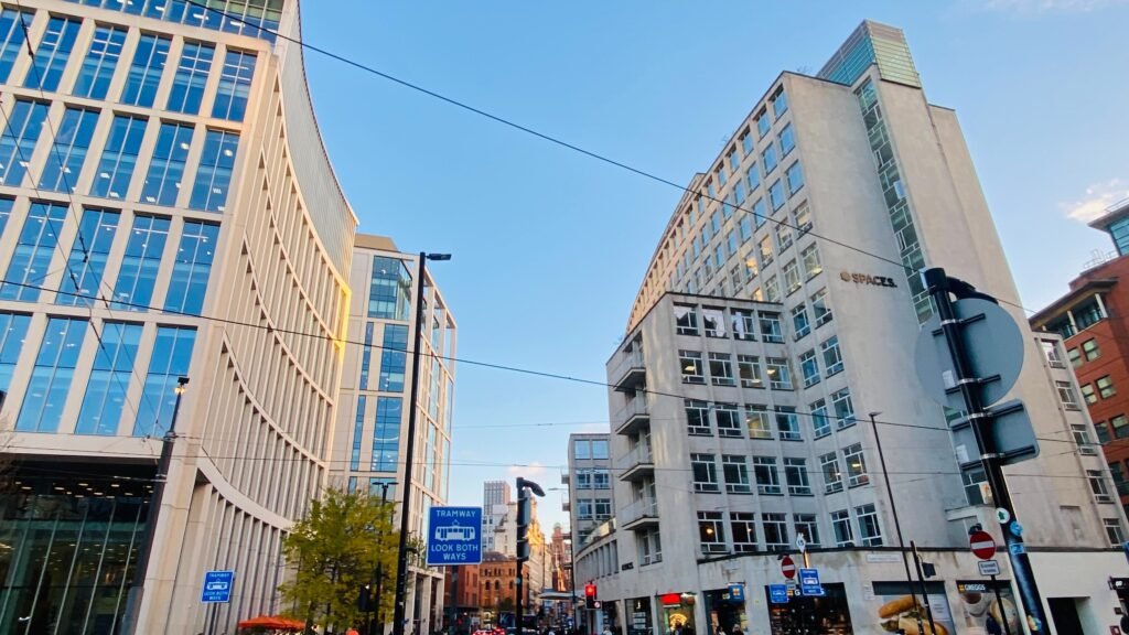
The strongest walking advantage is continuity between the places most short-stay visitors actually use. From Piccadilly, the Northern Quarter begins within a short walk, then blends into the central shopping streets. Cathedral Gardens, Deansgate, Spinningfields, Albert Square and St Peter’s Square remain inside the same practical central network. Visit Manchester describes the main city-centre neighborhoods as roughly 15–20 minutes apart, which matches this compact pattern.
Manchester is not uniformly pedestrian-perfect, however. Great Ancoats Street creates a traffic-heavy crossing between the Northern Quarter and Ancoats. The council also identifies wide carriageways, limited crossings and pavement clutter around the Bridge Street and John Dalton Street corridor. Tram tracks, canal edges, bridges and historic setts add smaller friction points elsewhere. These details matter because the city’s flat terrain does not automatically make every route effortless.

Best Areas to Stay for a Walkable Weekend
St Peter’s Square and the civic core give the most balanced base for first-time sightseeing. Deansgate, Albert Square, Chinatown, the shopping core and several tram lines sit close by.
Piccadilly and the Northern Quarter work especially well for rail arrivals and the eastern side of the centre. Ancoats is easier to add from here, while the western districts require a longer cross-centre walk.
Deansgate and Spinningfields suit visitors prioritizing the western core, John Rylands Library and Castlefield. They remain walkable to the Cathedral Quarter and central shopping streets without depending on transit.
Typical Walking Times
These are practical visitor estimates rather than fixed schedules. Crowded crossings, construction and time spent browsing can change the pace.
- Manchester Piccadilly Station to Piccadilly Gardens: about 10–12 minutes
- Manchester Piccadilly Station to Stevenson Square: about 12–15 minutes
- Stevenson Square to Cutting Room Square: about 10–12 minutes
- Cutting Room Square to New Islington Marina: about 8–10 minutes
- Cathedral Gardens to St Ann’s Square: about 8–10 minutes
- St Peter’s Square to John Rylands Library: about 10–12 minutes
- St Peter’s Square to Castlefield Basin: about 15–20 minutes
- Cathedral Gardens to Castlefield Basin: about 25–30 minutes
- Ancoats to Castlefield: roughly 35–40 minutes, depending on exact start and finish
A 2-Day Walking Route
The two days divide Manchester by geography instead of repeatedly crossing the same central corridor. Day 1 moves east from Piccadilly through the Northern Quarter into Ancoats. Day 2 runs from the medieval core through Deansgate and the civic quarter before finishing in Castlefield.
Day 1 — Piccadilly, Northern Quarter and Ancoats
Walking route
Day 1 — Piccadilly, Northern Quarter, Ancoats and New Islington
- Manchester Piccadilly Station
- Piccadilly Gardens
- Afflecks
- Stevenson Square
- Cutting Room Square
- New Islington Marina
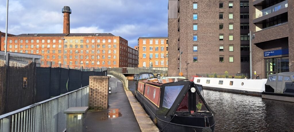
Begin at Manchester Piccadilly and walk toward Piccadilly Gardens rather than taking a tram for this short first leg. Continue through the Northern Quarter via Afflecks and Stevenson Square, using the smaller streets to absorb the district’s character. Cross Great Ancoats Street carefully, then continue to Cutting Room Square and New Islington Marina. Finishing at the marina keeps the route one-way; New Islington tram stop offers an easy return when your walking day is done.
Day 2 — Cathedral Quarter, Deansgate and Castlefield
Walking route
Day 2 — Cathedral Quarter, Deansgate, civic core and Castlefield
- National Football Museum
- Manchester Cathedral
- Exchange Square
- St Ann's Square
- John Rylands Research Institute and Library
- Spinningfields
- Albert Square
- St Peter's Square
- Castlefield Basin
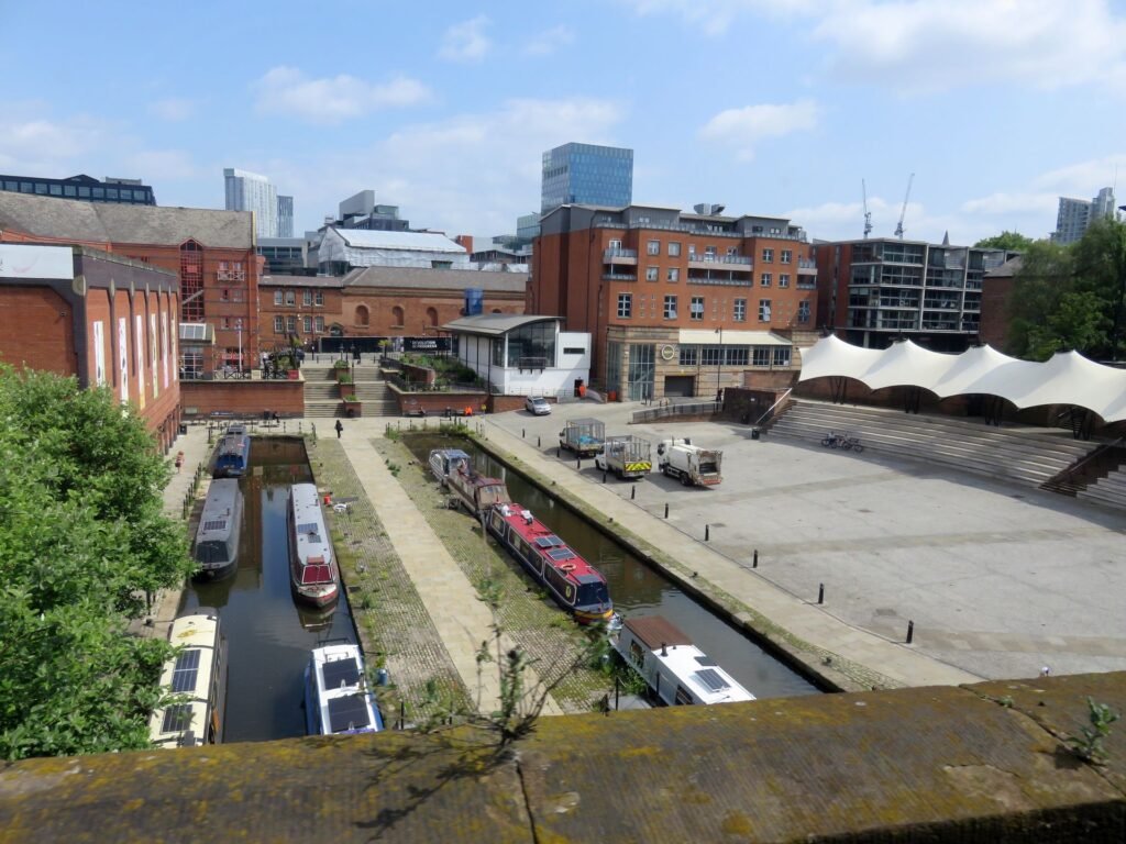
Start at the National Football Museum and Manchester Cathedral beside Cathedral Gardens. Walk through Exchange Square, New Cathedral Street and St Ann’s Square before reaching John Rylands Library and Spinningfields. From there, continue to Albert Square and St Peter’s Square, where Central Library anchors the civic quarter. Finish southwest in Castlefield, where canals, viaducts and cobbled sections create a noticeably different walking environment.
Using Metrolink and Buses
Metrolink is most valuable when it saves a long cross-city walk or connects an outer visitor destination. Individual all-day tram services generally run every 15 minutes, with overlapping lines improving effective frequency in the centre. Friday and Saturday service runs from about 6am until 1am, while Sunday service runs from about 7am until midnight.
Bee Network contactless tap-and-go makes occasional transit simple. Tap once when boarding a bus; on trams, tap in before boarding and tap out at the destination. Two free city-centre bus loops also start at Piccadilly and run every 10 minutes through much of the weekend daytime.
Arriving Without a Car
Manchester Piccadilly is an unusually convenient principal rail gateway for a city break. The station sits at the eastern edge of the central visitor network, with the Northern Quarter and Piccadilly Gardens close enough to walk. National Rail lists step-free access to every platform, while trams and buses connect directly from the station.
Manchester Airport also works well without a car. The airport says trains to Piccadilly take around 20 minutes and run every 10 minutes, seven days a week. The airport rail station connects to the terminals by walkways taking roughly 5–15 minutes. That combination keeps the airport-to-center journey straightforward even with luggage.
Walking Limitations and Practical Tips
Treat Great Ancoats Street as a real crossing point rather than assuming the Northern Quarter simply continues uninterrupted. Around Deansgate, Bridge Street and major junctions, allow extra time for signals and wider roads. Cross tram rails squarely, especially in wet conditions, and expect uneven setts or narrower paths around canals and Castlefield.
Market Street and other shopping corridors can become crowded, while nightlife areas slow down later in the day. Manchester Town Hall remains closed during restoration, with project completion targeted for spring 2027. Albert Square has regained substantial public space, but remaining works can still alter the most direct line through the civic quarter.
When a Car Helps
A private car adds little to the standard central 2–3 day itinerary and can create parking and traffic friction. It becomes more useful for rural Peak District plans, dispersed Greater Manchester stops or multi-destination regional touring. For the city centre itself, walking plus Metrolink, buses and rail is the more practical combination.
Seasonal Walking
Manchester remains broadly flat and practical for walking throughout the year, but weather changes the experience. Rain can make tram rails, canal edges and historic setts feel less forgiving, while winter darkness shortens comfortable sightseeing hours. A light waterproof layer is more useful than planning around hills.
Bottom Line
Manchester fits a walking-first weekend particularly well when the itinerary respects its east-west spread. Walk the compact central districts by cluster, save Ancoats and Castlefield for deliberate extensions, and use Metrolink when distance stops adding value. With Piccadilly and Manchester Airport both feeding directly into the car-free network, renting a car is unnecessary for most first visits.
For another car-free city break in northern England, explore our Liverpool walking guide, where most major sights connect along a compact route from Lime Street to the waterfront.