
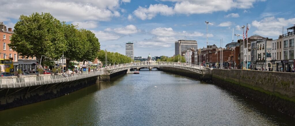
Most of the classic first-time sights gather inside a compact band stretching from the cathedrals to Merrion Square. Trinity College, Grafton Street, St Stephen’s Green, Temple Bar, and the National Gallery sit within short walks of each other. The Liffey cuts through this core, but closely spaced bridges make north-south crossings routine rather than disruptive. O’Connell Street adds a useful northside extension without breaking the walking pattern. The city feels less compact only when itineraries push west toward Kilmainham and Phoenix Park, or east into Docklands. Those longer links are where transit saves time without changing the underlying pedestrian geography.
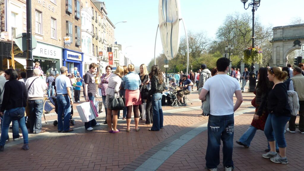
Why Dublin Works So Well on Foot
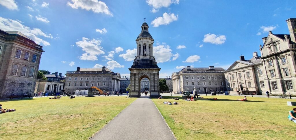
The strongest walking area runs from College Green through Grafton Street to St Stephen’s Green, then west toward the medieval core. The National Gallery says it is around ten minutes on foot from Trinity, Grafton Street, and St Stephen’s Green. That distance captures the central pattern: several headline sights sit within one or two short connections. Temple Bar, Dublin Castle, Christ Church, and St Patrick’s continue the chain westward. Docklands and Kilmainham are where an otherwise compact weekend starts to stretch.
The Liffey Connects the Core More Than It Divides It
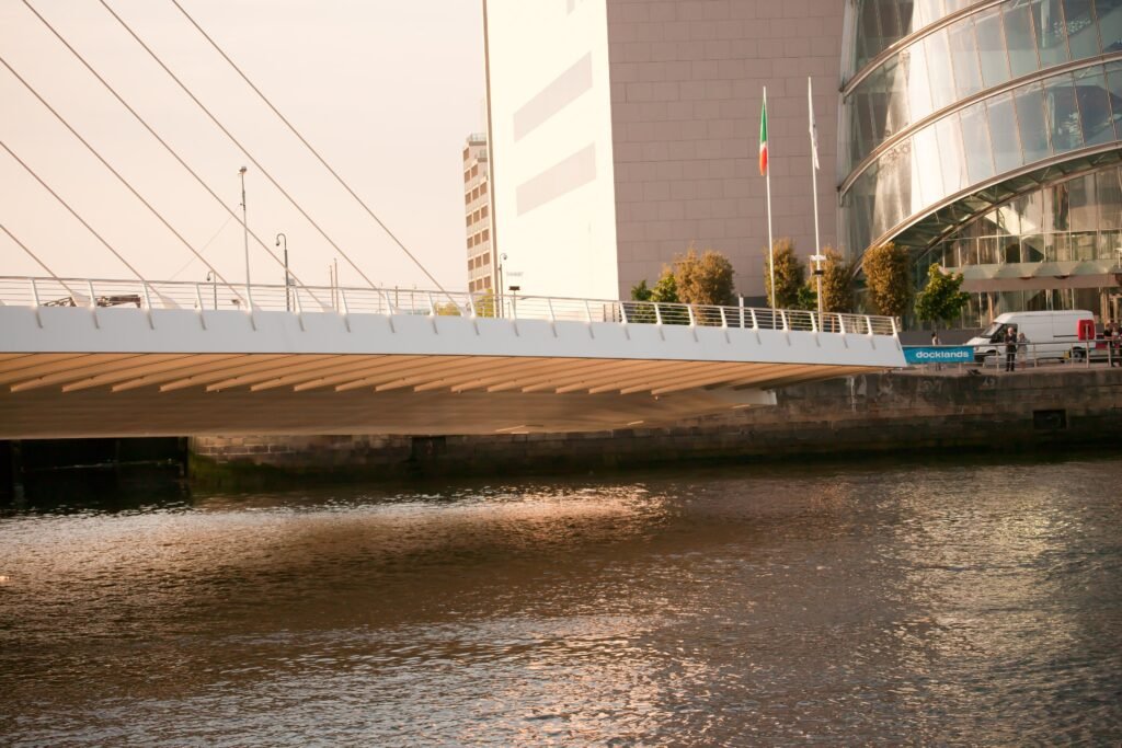
The river matters for orientation, but its bridge network keeps the visitor core connected. Ha’penny Bridge links Temple Bar with Bachelor’s Walk, while Millennium Bridge provides another pedestrian crossing nearby. O’Connell Bridge carries the main north-south axis directly between O’Connell Street and the Southside. Rosie Hackett Bridge adds another useful central crossing, and Samuel Beckett Bridge serves Docklands farther east. The result is a river seam, not a single choke point.
Walking Conditions: Strong Public Spaces, Mixed Historic Surfaces
Grafton Street and nearby lanes provide the easiest pedestrian-first experience. Temple Bar Square’s 2025 redesign removed steps and kerbs while widening pedestrian space. Conditions are less uniform on older lanes, quays, and traffic corridors. Cobbles, uneven historic surfaces, narrow footways, crowded shopping streets, bridge approaches, and Luas tracks can all slow progress. Luas advises pedestrians to use designated crossings where tracks share busy city streets. Dublin is easy to explore on foot, but the best routes are not uniformly smooth or vehicle-free.
Best Areas to Stay for a Walking Weekend
| Area | Best for | Walking caveat |
|---|---|---|
| Grafton Street / St Stephen’s Green | Best all-round central base | Busy shopping streets; temporary Duke Lane works affect one nearby connection in 2026. |
| College Green / Temple Bar edge | Maximum centrality for the historic core and both river banks | Crowding, cobbles, and narrow lanes reduce comfort at peak times. |
| Merrion Square / Georgian southside | Museums, Georgian streets, and a calmer central edge | Longer walk to the cathedral and western medieval area. |
| O’Connell Street / north centre | Both-bank access and convenient Connolly reach | Busier traffic environment than the southside pedestrian streets. |
| Docklands | Samuel Beckett Bridge, EPIC, and the eastern riverfront | Farther from St Stephen’s Green, the cathedrals, and the western core. |
Useful Walking Times
| Walk | Typical time |
|---|---|
| National Gallery to Trinity, Grafton Street, or St Stephen’s Green | Around 10 minutes |
| College Green to Grafton Street north end | About 2–4 minutes |
| Grafton Street north end to St Stephen’s Green | About 8–10 minutes |
| Temple Bar Square to Ha’penny Bridge | About 3–5 minutes |
| Temple Bar Square to Dublin Castle | About 7–10 minutes |
| Dublin Castle to Christ Church Cathedral | About 5–7 minutes |
| Christ Church Cathedral to St Patrick’s Cathedral | About 8–10 minutes |
| O’Connell Street / GPO to Temple Bar | About 8–12 minutes |
| Trinity College to Samuel Beckett Bridge | About 20–25 minutes |
These are practical planning estimates rather than guaranteed walking times. Crossings, crowds and individual pace can change the actual time.
A 2-Day Walking Route
Day 1: Trinity, Grafton Street, the Cathedrals and Temple Bar
Walking route
Day 1: Trinity, Grafton Street, the cathedrals and Temple Bar
- Trinity College Dublin / College Green
- Grafton Street
- St Stephen’s Green
- St Patrick’s Cathedral
- Christ Church Cathedral
- Dublin Castle exterior
- Temple Bar Square
- Ha’penny Bridge
Start at Trinity and move south through Grafton Street to St Stephen’s Green. Turn west for St Patrick’s Cathedral, then work north through Christ Church and Dublin Castle toward Temple Bar. Finish at Ha’penny Bridge instead of returning to College Green. This sequence uses Dublin’s compact south-central geography without repeating the same shopping streets.
Day 2: O’Connell Street, Docklands and Georgian Dublin
Walking route
Day 2: O’Connell Street, Docklands and Georgian Dublin
- General Post Office / O’Connell Street
- The Custom House
- EPIC / CHQ
- Samuel Beckett Bridge
- Grand Canal Square
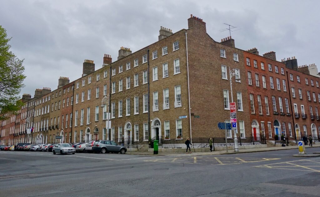
- Merrion Square
- National Gallery of Ireland
- Fitzwilliam Square
Begin on O’Connell Street, then follow the north quays east past the Custom House and CHQ. Cross the Liffey once at Samuel Beckett Bridge and continue through Grand Canal Square. Turn southwest for Merrion Square, the National Gallery, and Fitzwilliam Square. The route makes Docklands a purposeful extension rather than a separate out-and-back trip. Save Kilmainham and Phoenix Park for a transit-assisted western outing.
When Transit Saves Time
Luas is most useful when a walk becomes low-value mileage. The Red Line connects the center with Heuston and the western inner city, while the Green Line serves St Stephen’s Green and the Grafton Street corridor. Dublin Bus fills many gaps that rail does not, including trips toward outer visitor areas. DART is more useful for selected city and coastal journeys than for ordinary sightseeing inside the compact center.
Leap Card and visitor ticket options make occasional public transport straightforward across buses, Luas and selected rail services. Fare products, caps and validation rules can change, so check current TFI guidance before travel rather than relying on fixed prices in the guide.
Evening and weekend public transport provides useful backup after long walking days. Luas and bus services continue well beyond normal sightseeing hours, with additional late-night options on parts of the network. Check current TFI and operator timetables for your travel date.
Arriving in Dublin Without a Car
Dublin Airport has direct public-bus and coach connections into central Dublin. Several services stop near major central districts and transport hubs, making a car unnecessary for most arrivals. Journey times depend on traffic, so check current airport and TFI information before travel.
Rail arrivals differ by station. Connolly sits near the northeastern edge of the central walking area and connects with Luas and DART, while Heuston lies farther west but has straightforward public-transport links toward the center. Neither station requires a car.
Future airport rail projects should be treated separately from the transport options currently available to visitors.
When a Car Actually Helps
A private car adds little to a normal two- or three-day Dublin city break. Central parking and traffic do not improve the compact sightseeing days above, and public transport already handles the useful outer gaps. A car becomes more relevant for multi-stop countryside, coastal, or rural Ireland itineraries where public transport does not match the desired sequence.
Walking Limitations and Practical Tips
The main permanent limitations are surface and street comfort rather than hills. Traditional cobbles, narrow historic footways, busy quays, bridge approaches, large traffic corridors, crowding, and tram tracks create localized friction. Kilmainham, Phoenix Park, and Docklands also add enough distance that trying to walk every major attraction in one continuous loop wastes time.
Temporary attraction closures and street works can occasionally affect individual routes around the center. If a particular site or street is essential to your itinerary, check current attraction and Dublin City Council information shortly before travel.
Seasonal Walking Note
Rain and wind can make exposed bridges, quays and historic surfaces less comfortable, while winter brings shorter daylight and summer can increase crowding on the busiest streets. These conditions change walking comfort rather than the distances between Dublin’s main sights.
Bottom Line
Dublin works best when you treat the historic core, Grafton Street, Georgian southside, and north-central river crossings as one walking network. Build Docklands into a separate eastward sequence, and use transit for Kilmainham or Phoenix Park rather than forcing extra mileage. A centrally located visitor can spend an entire weekend without a private car and still cover the city’s defining first-time sights efficiently.