
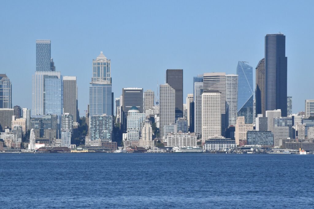
Between Pioneer Square and Seattle Center, the visitor footprint runs more like a north-south chain than a single compact district. Belltown helps connect the northern end, while Pike Place Market anchors the middle beside the renewed waterfront. That arrangement keeps many headline sights within realistic walking range without making every transfer effortless. Seattle’s grade changes matter because short-looking walks can become tiring when routes climb away from downtown. The city therefore feels connected on foot, but its compact-looking map does not always reflect the physical effort.
Why Seattle Works Well on Foot
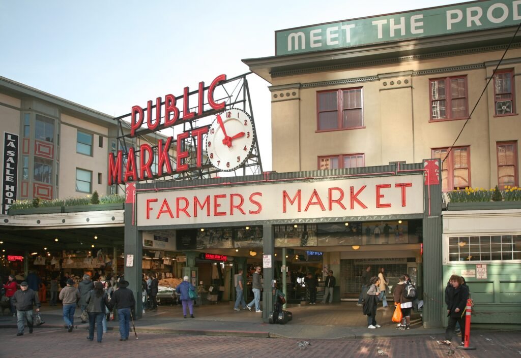
The strongest part of Seattle’s walking network is the central north-south spine. Pike Place Market anchors the middle, Pioneer Square extends the sightseeing core south, and Belltown carries it north toward Seattle Center. Visit Seattle describes downtown as only about eight blocks wide, with a large concentration of hotel rooms and restaurants. For a weekend visitor, that means many practical needs—coffee, meals, hotels, transit stations and headline sights—sit inside the same central footprint.
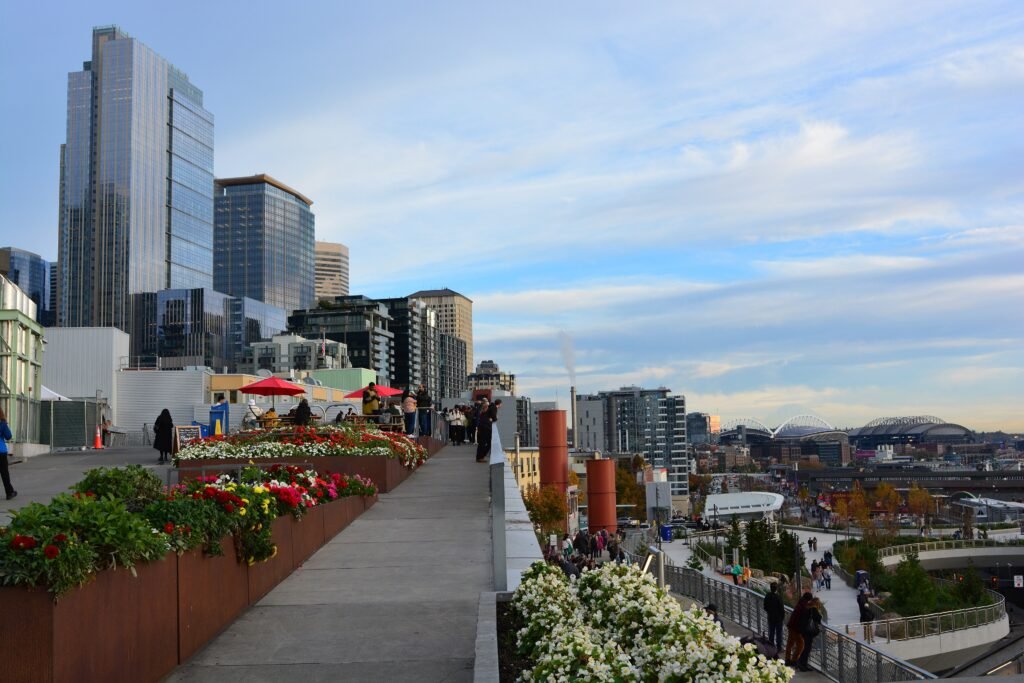
The waterfront has also become materially easier to use on foot. The rebuilt Waterfront Park stretches through the central shoreline, while Overlook Walk creates a direct pedestrian connection between Pike Place Market’s MarketFront and the Seattle Aquarium/Ocean Pavilion level. That removes one of the old geographic frustrations of downtown Seattle: the waterfront is still below the market, but the connection is now part of the attraction rather than an awkward barrier.
Seattle Center is far enough from Pike Place that you will notice the distance, but close enough to walk once during a weekend. Belltown makes the transition more interesting, and Olympic Sculpture Park gives the western edge of this route a free public-space anchor. When you do not want another 20-plus-minute walk, the monorail between Westlake and Seattle Center is exactly the kind of small transit shortcut that makes a car-free itinerary work.
Best Neighborhoods to Stay In
Pike Place / the downtown core is the most efficient first-time base. It puts the market, waterfront and Westlake transit hub close together, and it balances the walks toward Pioneer Square and Seattle Center better than almost anywhere else.
Belltown is the best alternative if you want to split the difference between Pike Place Market and Seattle Center. It also works well for Olympic Sculpture Park and the northern waterfront. The trade-off is that southern sights around Pioneer Square become a somewhat longer walk.
Seattle Center / Uptown makes sense when the Space Needle, MoPOP and other Seattle Center attractions dominate your plans. The monorail keeps downtown easy to reach, so you do not need to choose a hotel near Pike Place just to avoid a car.
Capitol Hill is a stronger neighborhood-experience base than a minimum-walking base. Restaurants, bars, Cal Anderson Park and Link service are major advantages, but walking between Capitol Hill and the waterfront/downtown core repeatedly means dealing with grades. Use Link instead of treating the hill as a daily fitness test.
Pioneer Square is particularly practical for the historic south end of downtown, the stadium area, waterfront access and Link. It is a good car-free base, but it sits farther from Seattle Center than Pike Place or Belltown.
Representative Walking Times
- Pike Place Market → Seattle Aquarium via Overlook Walk: about 5–10 minutes.
- Pike Place Market → Pioneer Square: about 18–22 minutes.
- Pike Place Market → Space Needle / Seattle Center: about 22–28 minutes.
- Seattle Center → Olympic Sculpture Park: about 10–12 minutes.
- Westlake → Seattle Center: about 20–25 minutes on foot; the monorail is the easy shortcut.
- Westlake → Capitol Hill: about 25–30 minutes on foot, with uphill effort; Link is usually more efficient.
- Seattle Central Library → Pioneer Square: about 10–12 minutes.
These are practical planning estimates rather than guaranteed walking times. Traffic lights, crowds, construction, luggage and route elevation can change the actual time. In Seattle, a short uphill route can require considerably more effort than a similar distance along the waterfront.
A 2-Day Seattle Walking Route
These two days are deliberately different. Day 1 follows the strongest, relatively easy central sightseeing corridor from Pike Place down to the renewed waterfront and Pioneer Square. Day 2 is longer and hillier, linking Seattle Center with Belltown, downtown architecture and Capitol Hill. Use transit for any segment that stops being enjoyable.
Day 1: Pike Place, Waterfront and Pioneer Square
Walking route
Pike Place, Waterfront & Pioneer Square
- Pike Place Market
- Overlook Walk
- Pier 62
- Seattle Aquarium
- Pioneer Square Habitat Beach
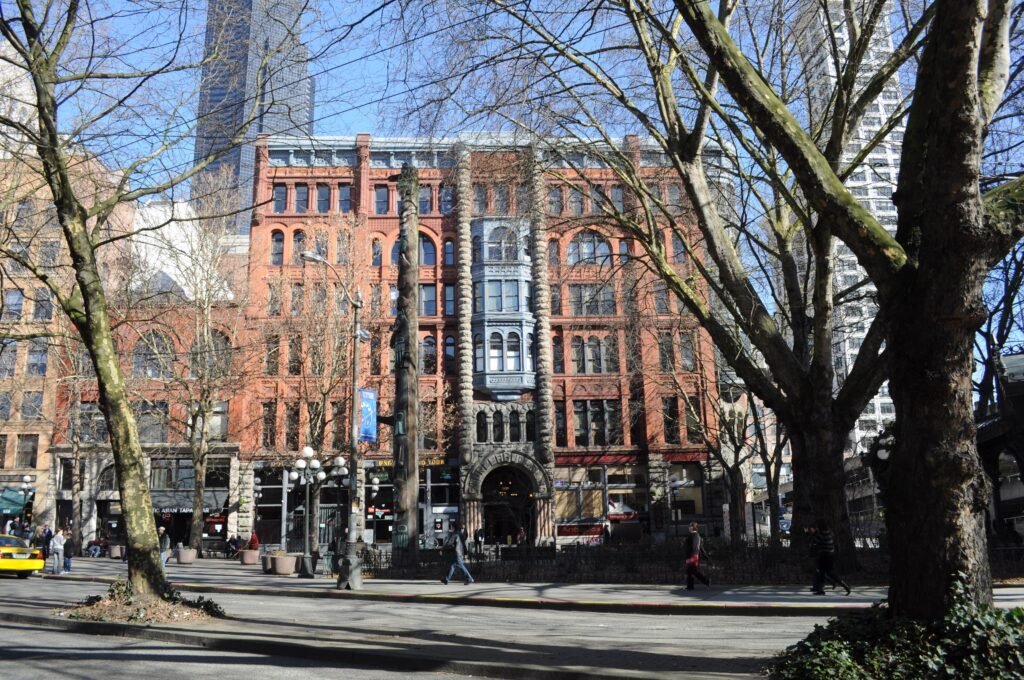
- Occidental Square
- Smith Tower
Begin at Pike Place Market while the day is still fresh, then use Overlook Walk to descend toward Elliott Bay. The connection itself is worth treating as a stop: it is the clearest expression of how Seattle’s visitor geography has improved, turning the elevation change between the market and the waterfront into a landscaped pedestrian route.
Continue along the waterfront to Pier 62 and the Seattle Aquarium. The aquarium is optional; if you are not entering, the public promenade still carries the day south. Keep following the waterfront toward Pioneer Square Habitat Beach, then turn inland for Occidental Square and finish at Smith Tower. The route is compact enough to leave plenty of time for the market, lunch, waterfront pauses or a paid attraction without forcing a rushed pace.
Day 2: Seattle Center, Belltown, Downtown and Capitol Hill
Walking route
Seattle Center, Belltown, Downtown & Capitol Hill
- Space Needle
- Museum of Pop Culture
- Olympic Sculpture Park
- Westlake Park
- Seattle Central Library
- Freeway Park
- Cal Anderson Park
Start at the Space Needle and MoPOP inside Seattle Center, then walk southwest toward the free Olympic Sculpture Park. From there, work through Belltown to Westlake Park. This is the moment to reassess your legs: Westlake is a major transit hub, so it is easy to shorten the day rather than walk simply because the map says you can.
If you continue on foot, head to the Seattle Central Library, then Freeway Park before finishing at Cal Anderson Park in Capitol Hill. The final section is intentionally the more demanding part of the weekend. If the uphill transfer no longer feels worthwhile, use Link to reach Capitol Hill and resume walking there. That is not a compromise; it is the most efficient way to use Seattle.
Getting Around Seattle Without a Car
Link light rail is the backbone of a car-free Seattle visit. The 1 Line connects SeaTac Airport with downtown stations, Capitol Hill, the University District and destinations farther north and south. For a visitor, that means the airport trip and several of the most useful neighborhood jumps happen on the same rail spine.
King County Metro buses do the rest of the heavy lifting. They are especially useful when you want to reach neighborhoods outside the rail corridor or avoid a steep cross-town walk. Seattle’s streetcars can be useful on specific corridors, but most first-time weekend itineraries will rely more heavily on walking, Link and Metro.
The Seattle Center Monorail deserves special mention because it solves one very specific visitor problem well: Westlake to Seattle Center. If you have already walked the central core all day, using a short monorail ride instead of repeating the same 20- to 25-minute transfer is an easy win.
ORCA remains the main regional transit card, while digital and contactless payment options are also available for many trips. Payment methods can evolve, so check current regional transit guidance if you want to use your phone or bank card directly.
Arriving in Seattle Without a Car
Seattle-Tacoma International Airport has a direct Link light-rail connection toward downtown, making airport arrival straightforward without a rental car. Journey times vary by final stop and service pattern, so check current Sound Transit information before travel.
The main inconvenience is the walk between the airport terminal and the rail station rather than the train journey itself. From the terminal, the Port of Seattle directs passengers across a skybridge to the fourth floor of the parking garage and then toward the Link station. A free Train-to-Plane shuttle is available if you would rather not walk the full connector with luggage.
Late-night airport travel requires more planning because regular rail service does not operate continuously. Check current Sound Transit airport and overnight-service information if your flight arrives very late or departs early.
When a Car Becomes Useful
For the weekend covered by this guide, a car is more burden than benefit. Central parking, one-way streets and the need to move a vehicle between walkable clusters add friction that Link, buses and the monorail already solve. Even a hotel outside the exact Pike Place core can remain easy if it sits near Link.
A car becomes more useful when Seattle is only the starting point rather than the whole trip—for example, when you are building a day around dispersed regional trailheads, multiple outer-area stops or places where transit would force long waits and transfers. For a Pike Place–waterfront–Seattle Center–Capitol Hill weekend, renting one is unnecessary.
Practical Walking Tips
- Read the contours, not just the mileage. A 15-minute Seattle walk can be easy along the waterfront and much harder heading uphill east of downtown.
- Use Overlook Walk for Pike Place ↔ waterfront. It is now the most intuitive visitor connection between the two levels.
- Let transit remove low-value climbs. Link to Capitol Hill and the monorail to Seattle Center are useful even when you are otherwise walking all day.
- Wear shoes with dependable wet-surface grip. Rain changes comfort more than it changes the basic feasibility of central walking.
- Check service alerts before late-night airport trips. Sound Transit schedules and late-night options can change, so verify the current airport connection before travel.
Seasonal Walking Note
Summer is the easiest season for long walking days. National Weather Service climate material places Seattle’s dry-season center in July and August, with typical summer daytime temperatures in the 70s. From roughly October through March, rain becomes a more consistent part of the planning. The city remains walkable, but a light waterproof layer, appropriate shoes and willingness to use transit make a wet weekend more comfortable.
Bottom Line
Seattle is a very good city to visit without a car and a good city to explore on foot—with a strategy. Stay around Pike Place, Belltown, the downtown core or another transit-friendly central neighborhood; walk the market, waterfront, Pioneer Square and Seattle Center clusters; and use Link or the monorail when hills or distance stop adding value. The result is a weekend where a private car is unnecessary without pretending Seattle is flat or tiny.