
From Gare Centrale to the historic riverfront, Montréal’s strongest visitor corridor passes through downtown and Quartier des spectacles. Place des Arts, Chinatown, Notre-Dame Basilica, and the Old Port fit naturally into connected walking days. North of Sherbrooke Street, the pattern changes as the Plateau becomes a longer extension rather than another downtown block. Mile End and Jean-Talon Market sit farther still, while Olympic Park belongs to a separate eastern transit trip. That structure favors long central walks, then strategic Metro rides between neighborhood clusters. Historic paving and Mount Royal approaches add effort without undermining the city’s broader pedestrian practicality.
Why Montréal’s Central Core Works on Foot
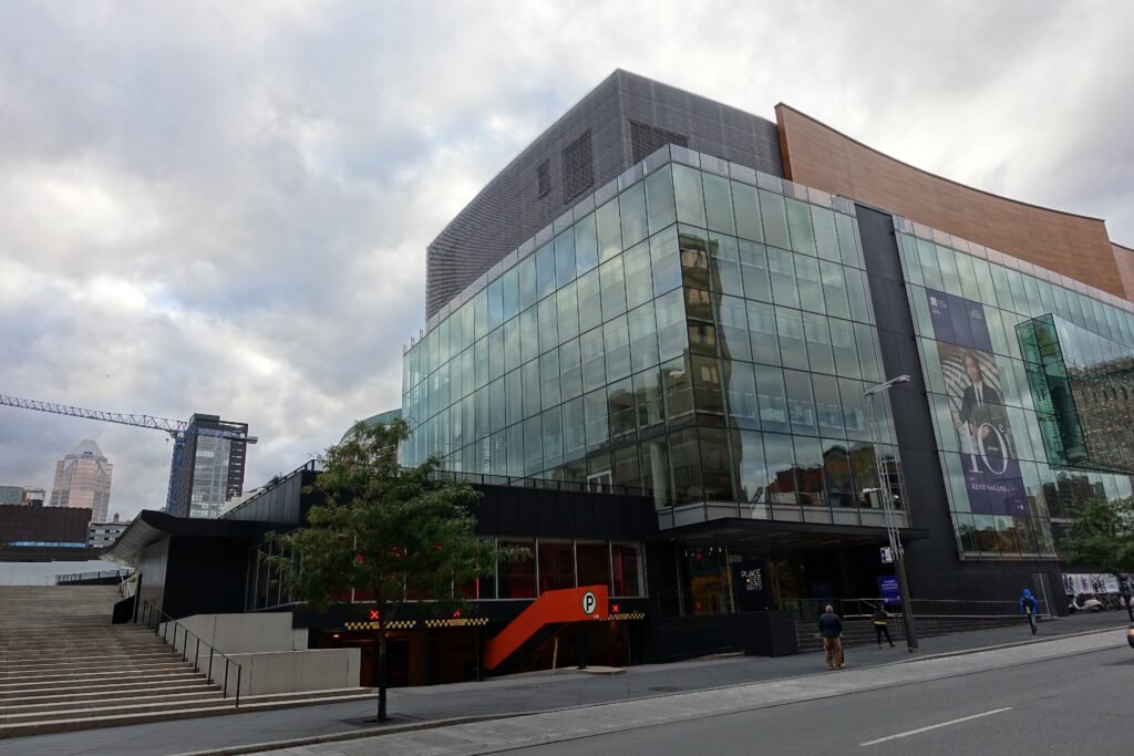
The strongest walking zone starts around Gare Centrale and extends east through downtown and Quartier des spectacles. Place des Arts, Sainte-Catherine Street, Chinatown and the convention district sit close enough for ordinary sightseeing walks. Old Montréal then continues the chain toward Place d’Armes, Notre-Dame Basilica and the waterfront. This is where Montréal feels compact because the attractions themselves are close, not because Metro service disguises long distances.
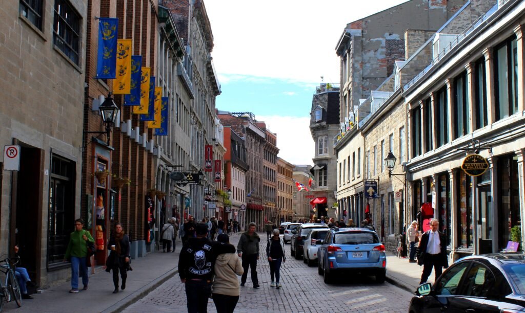
Old Montréal is appealing on foot without being frictionless. Cobblestones, uneven historic surfaces, crowds and mixed vehicle access can slow the pace. The city is progressively creating a pedestrian-priority zone through 2030, but it is not already one large pedestrian precinct. Saint-Paul also has seasonal pedestrian-only sections, so the street experience can differ depending on when you visit.
The Old Port sits directly beside Old Montréal rather than behind a major cross-city barrier. De la Commune and waterfront access points still require normal urban crossings, but the transfer is short and intuitive. Around Quartier des spectacles, a central section of Sainte-Catherine West is car-free year-round. Several other famous pedestrian streets operate only seasonally.
RÉSO adds a useful second layer below downtown. Its connected passages extend for more than 33 kilometres through stations, malls and major buildings. That network is valuable for weather protection and station-to-building connections, especially around Gare Centrale and Place des Arts. It should not be mistaken for proof that Montréal’s outdoor sidewalks form one uninterrupted indoor-style system.
Where the Walking Core Starts to Fragment
The southern Plateau begins just north of Sherbrooke Street and can extend a central walking day. Square Saint-Louis and lower Saint-Denis are close enough to feel connected to Quartier des spectacles. Farther north, Mont-Royal Avenue becomes a distinct neighborhood corridor with its own cafés, shops and parks. Mile End adds more mileage again, while Jean-Talon Market belongs to a separate northern cluster.
Olympic Park sits far enough east that it works best as a dedicated Metro trip rather than an extension of a downtown walking day. The Green line serves Pie-IX and Viau, making the complex straightforward without a car. Jean-Talon Market is similarly easy by Orange or Blue line, while Mile End usually needs a short walk or bus from nearby stations. Saint Joseph’s Oratory is another outer destination that should be planned as its own transit-supported outing.
Best Areas to Stay for a Walking Weekend
Downtown and Quartier des spectacles offer the best balance for a first visit. Hotels here keep Gare Centrale, shopping, museums, Chinatown and Old Montréal within practical walking range. Old Montréal gives the most atmospheric base, but historic paving can be less comfortable with luggage or mobility limitations. A Plateau stay suits travelers prioritizing neighborhood life, though it increases the need for Metro trips to the riverfront.
Useful Walking Times
From Gare Centrale, allow about 15–20 minutes to Place des Festivals and roughly 20–25 minutes to Notre-Dame Basilica. Place des Festivals to Chinatown is about 8–10 minutes, while Chinatown to the basilica is roughly 10–12. The basilica to the Old Port usually takes about 5–10 minutes, depending on the chosen waterfront entrance.
Going north, Place des Arts to Square Saint-Louis is roughly 15 minutes. Square Saint-Louis to the Mont-Royal Avenue area adds about 20–25 minutes. Reaching Mile End from the lower Plateau commonly adds another 20–25 minutes. These are practical planning estimates rather than guaranteed walking times.
A 2-Day Walking Route
Day 1 — Downtown, Quartier des spectacles and Old Montréal
Walking route
Day 1 — Downtown, Quartier des spectacles, Chinatown, Old Montréal and Old Port
- Montréal Central Station (Gare Centrale)
- Place des Festivals
- Place Sun-Yat-Sen
- Notre-Dame Basilica of Montréal
- Place Jacques-Cartier
- Bonsecours Market
- Montréal Clock Tower
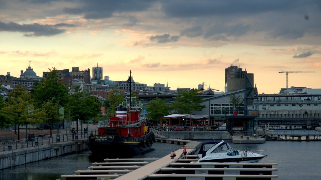
Start at Gare Centrale and walk northeast to Place des Festivals, then turn southeast through Chinatown. Continue to Notre-Dame Basilica before moving east through Place Jacques-Cartier and Bonsecours Market. Finish at the Clock Tower in the Old Port. The listed waypoints create a mostly one-direction central route of roughly four kilometres before museum, café and waterfront detours.
This route covers Montréal’s strongest continuous central walking corridor. Metro stations remain close throughout the route, so shortening the day is easy if weather, fatigue or time changes the plan.
Day 2 — The Plateau to Mile End
Walking route
Day 2 — Southern Plateau to Mile End
- Square Saint-Louis
- Duluth Avenue East and Saint-Denis Street
- Avenue du Mont-Royal and Saint-Denis Street
- Avenue du Mont-Royal and Saint-Laurent Boulevard
- Parc Lahaie
- Saint-Viateur Street and Saint-Urbain Street
- Bernard Avenue and Saint-Urbain Street
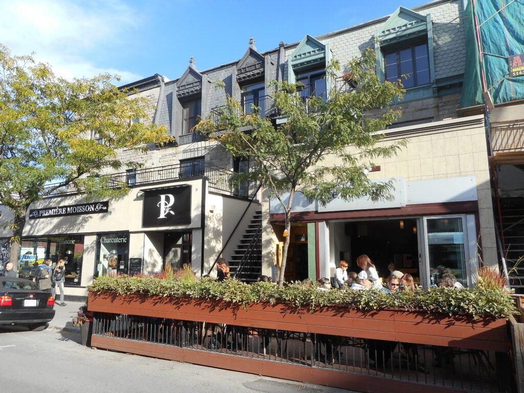
Begin at Square Saint-Louis on the Plateau’s southern edge, then walk north through Duluth and Saint-Denis. Cross the Mont-Royal Avenue corridor before continuing along Saint-Laurent toward Mile End. Finish around Saint-Viateur and Bernard, where cafés, bakeries and neighborhood streets reward slower exploration. Use Metro or bus for the return rather than walking back downtown simply to keep the day technically car-free.
Mount Royal works best as a separate choice rather than forcing it into this linear neighborhood route. Bus 11 from Mont-Royal Metro reaches practical park access points, while the Peel approach includes a dedicated stair climb to Kondiaronk lookout. That keeps recreational climbing distinct from ordinary city walking.
Using the Metro Between Walking Clusters
The Metro is excellent backup for a weekend built around walking. Green and Orange line trains are scheduled every 6–10 minutes on weekends, while Blue line trains run every 8–10 minutes. Service begins around 5:30 a.m. and continues past midnight, with later last trains on Saturday and night buses afterward.
Zone A covers the normal Montréal sightseeing area. A single All Modes A trip costs $3.75, while 24-hour and three-day products cost $11.25 and $21.75. Both unlimited products are valid on the 747 airport bus. Chrono can reload a physical OPUS card with a compatible phone. Virtual fares are rolling out progressively, so visitors should not assume universal bank-card or phone tapping at every gate.
Arriving Without a Car
YUL Montréal-Trudeau currently relies on the 747 as the main public-transport link to central Montréal. STM lists daytime departures generally every 10–20 minutes, and Aéroports de Montréal confirms 24-hour, seven-day operation. The short route to Lionel-Groulx takes about 30–35 minutes. The longer downtown route takes roughly 45–70 minutes, depending on traffic.
Gare Centrale is much easier for rail travelers. It sits at 895 de la Gauchetière West beneath the Queen Elizabeth Hotel, near Bonaventure and McGill Metro. VIA Rail links Montréal with Ottawa, Toronto and Québec City on the main regional corridor. That central rail location makes train arrival substantially easier than reaching downtown from the airport.
When a Car Helps
A private car is unnecessary for the standard downtown, Old Montréal, Plateau and museum weekend. It also adds little value for Jean-Talon Market or Olympic Park because rail handles those trips well. A car becomes more useful for rural Québec excursions, dispersed trailheads or regional destinations that fall beyond Montréal’s frequent transit network.
Limitations and Practical Walking Tips
Historic surfaces are the main localized walking friction. Wear stable footwear in Old Montréal, where cobbles and uneven paving can slow the pace. Downtown is easier underfoot, though wider intersections and construction zones can create temporary detours. Check current street and transit notices on travel day rather than treating works or festival closures as permanent city conditions.
Use RÉSO selectively instead of trying to navigate the entire underground network as a sightseeing shortcut. Above ground, the regular downtown grid is often simpler for orientation. If Mount Royal is a priority, save energy by using transit to a practical park entrance before choosing how much climbing you want.
Seasonal Walking Context
Montréal’s walking experience changes sharply with the season. Snow, ice and cold can slow winter walking, while hot or humid summer days can shorten comfortable ranges. Seasonal pedestrian streets can also make some summer corridors more spacious. Use the Metro and RÉSO as practical weather alternatives when conditions make longer outdoor walks less appealing.
Bottom Line
Plan one long day across the downtown-to-waterfront core and a second day inside a northern neighborhood cluster. Use the Metro for Jean-Talon, Olympic Park and other longer jumps. That approach preserves walking where Montréal is genuinely compact without pretending every famous district belongs to the same pedestrian center.