
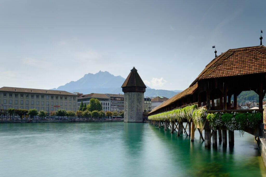
The railway station opens directly onto Lucerne’s visitor landscape rather than sitting outside it. Lake Lucerne, Bahnhofplatz, the Reuss, and Chapel Bridge all begin within a few minutes. Across the river, car-free Old Town streets gather Kornmarkt, Weinmarkt, the Jesuit Church, and Spreuerbrücke into a compact web. Northward, the Lion Monument, Glacier Garden, and Musegg Wall add short extensions with modest climbing. The Swiss Museum of Transport is the meaningful exception, sitting about a 30-minute lakeside walk east. That outer stop stretches the map without changing the unusually tight central pedestrian pattern.
Why Lucerne Works So Well on Foot
Lucerne’s strongest advantage is the way its arrival point overlaps with its sightseeing geography. The station faces the lake and sits beside Bahnhofplatz, the KKL, boat landings, and the Reuss. Chapel Bridge reaches the Old Town almost immediately, while the riverfront keeps central landmarks visually connected.
The official Lucerne Tourism sightseeing walk is a useful reality check. Its 4.24-kilometer route links the station with Chapel Bridge, the Jesuit Church, Spreuer Bridge, Old Town, the Lion Monument, Hofkirche, and other central sights. It records only 30 meters of ascent, which matches the generally easy elevation profile of the core.
Compactness is not the same as perfect walking comfort. Old Town pedestrianization is extensive, yet cobblestones, delivery access, and crowded bridge approaches can reduce pace. The Reuss is an excellent orientation aid, although visitors still need to choose among a limited set of practical bridge crossings.
Best Areas to Stay for Walking
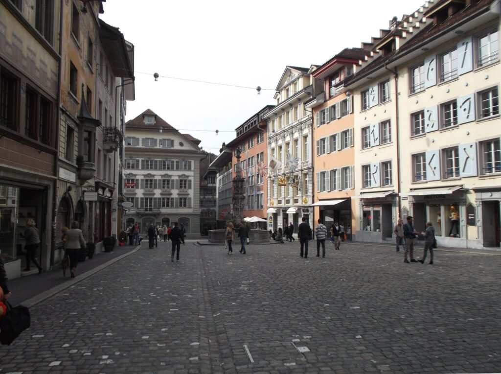
Old Town is the strongest base for atmosphere and immediate access to Chapel Bridge, Weinmarkt, Kornmarkt, and the Reuss. Several hotels sit directly inside the pedestrian zone, so most central sightseeing begins at the door.
Bahnhof and Neustadt are better for rail convenience without sacrificing walkability. Station-side hotels place the lake, KKL, Chapel Bridge, Old Town, and main bus platforms within a few minutes. This is the easiest choice for short stays with luggage or early trains.
The Hofkirche and Nationalquai edge suits travelers who prefer the lakefront. It remains close to Old Town while shortening walks toward the Lion Monument, Glacier Garden, and eastern promenade.
Walking Times That Matter
The Jesuit Church is about five minutes from Lucerne station. The Lion Monument and adjacent Glacier Garden are roughly 15 minutes away on foot. The Swiss Museum of Transport is the main longer walk, about 30 minutes along the lake promenade under the museum’s guidance. Lucerne Tourism’s accessible lake-shore route uses a more conservative 45-minute estimate for that same eastern journey.
A 2-Day Walking Route
These two days use different parts of Lucerne’s visitor map. The first stays around the station, Reuss, Old Town, and Musegg. The second moves north to the Lion and Hofkirche area before following the lake east to the Transport Museum.
Day 1 — Station, Chapel Bridge, Old Town and Musegg
Walking route
Day 1 — Station, Chapel Bridge, Old Town and Musegg
- Lucerne Railway Station
- Bahnhofplatz
- Chapel Bridge and Water Tower
- Kornmarkt
- Weinmarkt
- Musegg Wall
- Mühlenplatz
- Spreuer Bridge
- Jesuit Church
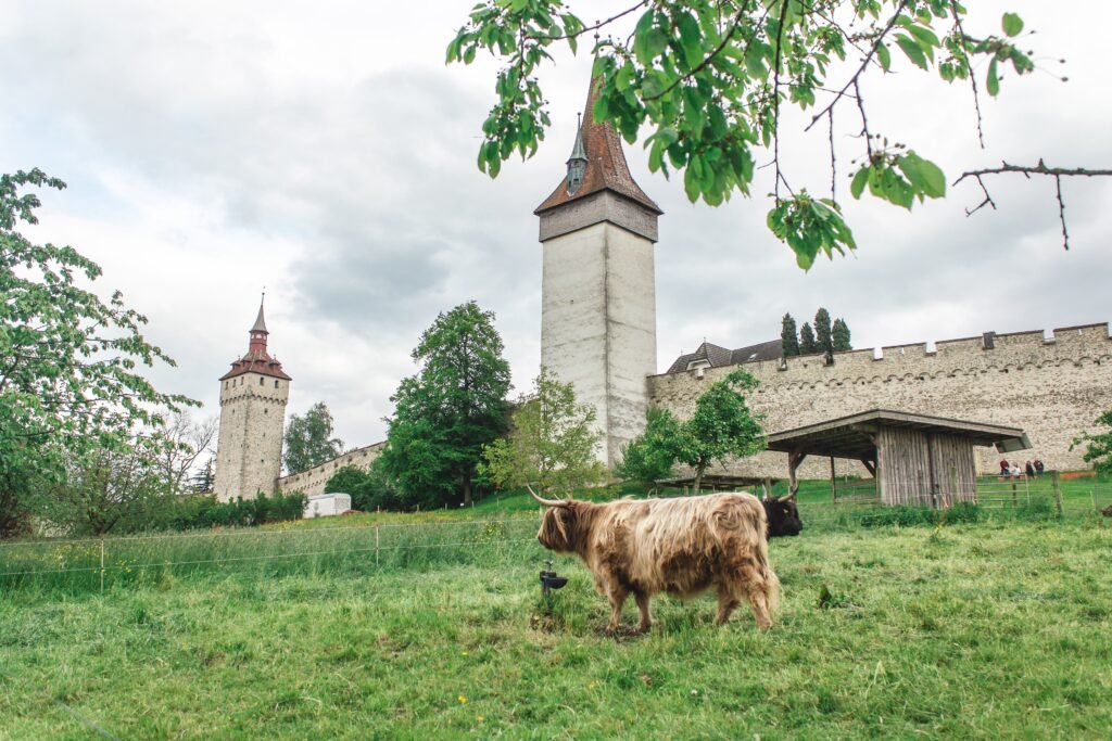
Start at Lucerne Railway Station and step onto Bahnhofplatz before crossing Chapel Bridge beside the Water Tower. Continue through Kornmarkt and Weinmarkt, then climb toward the Musegg Wall for the day’s only meaningful elevation change. Descend through Mühlenplatz, cross the Reuss on Spreuer Bridge, and finish beside the Jesuit Church on the south bank. The route is deliberately compact rather than padded with unnecessary mileage.
Day 2 — Hofkirche, Lion Monument and the Lakefront
Walking route
Day 2 — Hofkirche, Lion Monument and the Lakefront
- Lucerne Railway Station
- Seebrücke
- Hofkirche St. Leodegar
- Lion Monument
- Glacier Garden
- Kurplatz
- Nationalquai
- Swiss Museum of Transport
Begin again at the station and cross Seebrücke toward the Hofkirche. Continue inland to the Lion Monument and Glacier Garden, which sit together near Löwenplatz. Return to the water at Kurplatz, then follow Nationalquai and the eastern promenade to the Swiss Museum of Transport. After the museum, use bus 6, 8, or 24, or the local train, instead of repeating the lakeside walk.
When to Use Lucerne’s Buses and Trains
Transit is useful because it saves energy on the few trips that stretch beyond the walking core. Line 1 links the station with Schwanenplatz, Luzernerhof, and Löwenplatz. Lines 6, 8, and 24 serve the Transport Museum, while local rail reaches Luzern Verkehrshaus in about eight minutes.
Passepartout tickets make occasional local trips straightforward, with single-journey and day-ticket products available for Lucerne’s central zone. SBB Mobile provides familiar app-based journey planning and ticket purchase. Check current Passepartout fares before travel rather than relying on a fixed price in the guide.
Overnight guests receive an additional benefit that should not be confused with the normal fare system. The Lucerne Visitor Card gives eligible guests free second-class buses and trains in Zone 10. It cannot be purchased separately, and Lake Lucerne boat trips are excluded.
Weekend mobility remains strong after normal evening hours. Passepartout operates a dedicated weekend night network, and regular daytime tickets remain valid without a night surcharge.
Arriving in Lucerne Without a Car
Luzern station is unusually convenient because arrival and sightseeing begin in the same place. The station sits beside the lake and docks, faces Bahnhofplatz, and includes luggage lockers and Tourist Information. Most central hotels and headline sights require no onward vehicle transfer.
International air arrivals commonly reach Lucerne through Zurich Airport. Rail connections run frequently, with some journeys direct and others requiring a change at Zürich HB. The trip remains straightforward and fully rail-based, but visitors should check the current SBB timetable for their travel date.
Walking Limitations and Practical Tips
Historic paving is the most consistent comfort issue. Much of Old Town is formally pedestrianized, and pedestrians have priority, but permitted service vehicles and morning deliveries still appear. Cobbles can also be tiring with wheeled luggage or mobility aids.
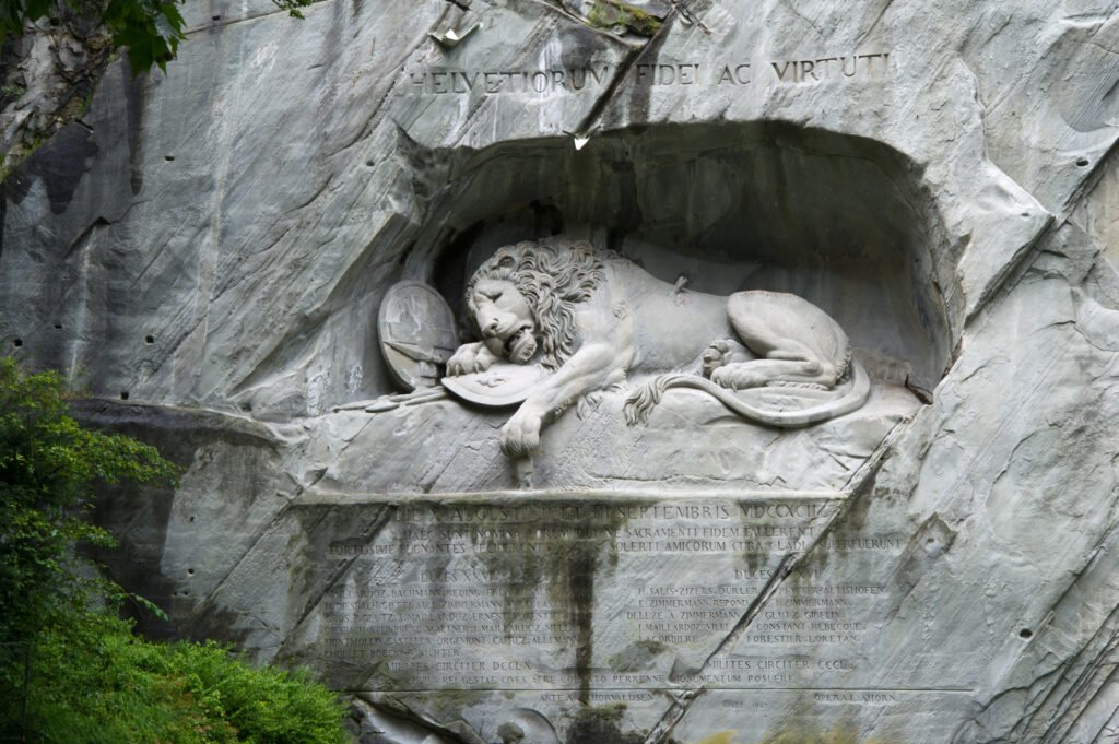
Crowding is the bigger practical constraint in the most famous corridors. Lucerne Tourism and the city monitor person frequencies around Chapel Bridge, Schwanenplatz, Rathausquai, and other central points. The Lion Monument receives around 1.4 million visitors annually. Current coach rules also direct group arrivals through Schwanenplatz and Löwenplatz, concentrating pressure at predictable visitor gateways.
The Reuss improves orientation but slightly limits route choice. Chapel Bridge and Spreuer Bridge are excellent pedestrian links, while Seebrücke carries the main road crossing. Choosing the right bridge avoids small but unnecessary detours.
Elevation is generally easy until you move toward Musegg. The official central sightseeing loop records only 30 meters of ascent, but the wall itself occupies an ascending ridge. Treat tower climbs as optional additions rather than part of the basic city walk.
Mountain Trips Are Regional Extensions
Mount Pilatus, Mount Rigi, Stanserhorn, and other mountain outings are excellent car-free additions to a longer stay. They depend on regional trains, boats, buses, funiculars, or cableways rather than the central walking network. Plan them as separate day trips instead of stretching the definition of Lucerne’s city core.
When a Car Helps
A private car adds little to a standard two- or three-day Lucerne visit. Central parking introduces cost and friction while the station, Old Town, lakefront, and museum all work well without driving. A car becomes more useful only for rural multi-stop itineraries that do not align well with public-transport schedules.
Seasonal Walking Note
Lucerne’s underlying distances remain walkable year-round, but surface comfort changes with conditions. Rain, snow, or ice can make cobbles and wooden bridge surfaces more demanding. Selected Musegg towers also have seasonal public access, so check current opening dates before building a tower climb into the day.
Bottom Line
Lucerne gives a first-time visitor an unusually concentrated city weekend. The station, Old Town, Reuss bridges, Lion Monument, and lakefront form a coherent walking network, while frequent local transit handles the museum and tired-leg returns. The main compromises are historic surfaces, visitor crowding, and a small amount of climbing near Musegg rather than any need for a car.