
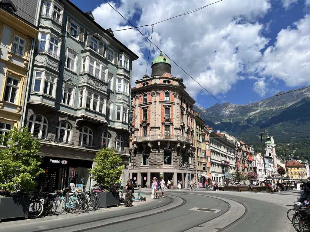
Innsbruck compresses its main historic sights into a small valley-floor corridor between the station and the Inn. Maria-Theresien-Straße leads directly toward Old Town, where the Golden Roof, Hofburg, Hofkirche, and cathedral cluster closely together. The river adds scenery without creating a major walking break, thanks to short approaches and central bridges. Southward, Wilten remains connected, but Bergisel introduces a clear climb and longer walking effort. Northward, the Hungerburgbahn starts beside the center, yet its mountain destination belongs to a separate vertical layer. That contrast defines the city weekend: easy central walking, then selective transit for higher or outer attractions.
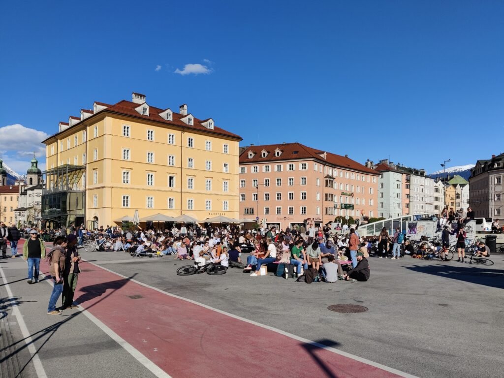
Why Innsbruck Feels So Compact on Foot
Innsbruck’s strongest walking feature is concentration, not simply its small population. Official tourism maps an easy 2.5 km Habsburg loop through the Golden Roof, cathedral, Hofburg, Hofkirche, Triumphpforte, and Maria-Theresien-Straße. Hauptbahnhof sits about a ten-minute walk from the city center, so rail arrivals can begin sightseeing almost immediately. Maria-Theresien-Straße became a pedestrian promenade in 2009, and Herzog-Friedrich-Straße continues straight into the Old Town. Marktplatz and the Inn then sit only a few minutes beyond the Golden Roof. This makes the station, historic core, river edge, and central shopping streets feel like one practical walking geography.
Where the Walking Core Starts to Break
The compact pattern weakens once an itinerary leaves the valley floor. Bergisel is reachable on foot from the center in about 25 minutes, but the approach adds a real uphill finish. Innsbruck Tourismus measures 156 meters of ascent on its longer Wilten and Bergisel walking circuit. The Hungerburgbahn starts at Rennweg 3, only about five minutes from the Golden Roof, yet Hungerburg and Nordkette remain vertical extensions. Schloss Ambras is more clearly separate: direct buses are efficient, while several tram approaches still leave a steep final walk. The Inn itself is much less disruptive because central bridges keep both banks close to Old Town.
Best Areas to Stay Without a Car
Old Town is the most convenient base for immediate access to the Golden Roof, Hofburg, cathedral, and river. Hotels on or near Maria-Theresien-Straße offer an equally strong compromise between Hauptbahnhof and the historic core. The station and Bozner Platz area work especially well for rail travelers carrying luggage. Wilten suits visitors who want quieter streets and easier access toward Bergisel while remaining walkable to the center. A hotel marketed as central can still sit beyond the easiest core, so check its actual walking route rather than the label alone.
Practical Walking Times
Practical walking estimates: Hauptbahnhof to the city center is about 10 minutes. Allow roughly 12–15 minutes from Hauptbahnhof to the Golden Roof. Triumphpforte to the Golden Roof is about 8–10 minutes along Maria-Theresien-Straße. The Golden Roof to Hofburg or Hofkirche is roughly 3–5 minutes. Marktplatz and the Inn are also about 3–5 minutes away. The Nordkette lower station is about five minutes from the Golden Roof. Bergisel is around 25 minutes from the center, with meaningful uphill effort. These are practical planning estimates rather than guaranteed walking times.
A 2-Day Walking Route
Day 1: Hauptbahnhof, Old Town and the Inn
Walking route
Day 1: Hauptbahnhof to the Old Town and Inn
- Innsbruck Hauptbahnhof
- Triumphpforte
- Annasäule
- Goldenes Dachl
- Marktplatz
- Innbrücke
- Innsbruck Cathedral
- Hofburg Innsbruck
- Hofkirche Innsbruck
- Imperial Gardens
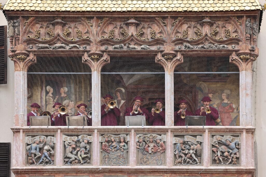
Start at Hauptbahnhof and walk toward Triumphpforte, then continue north along Maria-Theresien-Straße past Annasäule. Enter Old Town on Herzog-Friedrich-Straße and reach the Golden Roof before looping west to Marktplatz and the Inn. Cross or pause at Innbrücke, then return through the compact historic cluster to the cathedral, Hofburg, and Hofkirche. Finish in the Imperial Gardens. The route deliberately stays on the valley floor and shows how much of a first visit fits inside one continuous walk.
Day 2: Wilten and Bergisel
Walking route
Day 2: Wilten and the Bergisel climb
- Triumphpforte
- Wiltener Platzl
- Wilten Basilica
- Wilten Abbey
- TIROL PANORAMA
- Bergisel Ski Jump
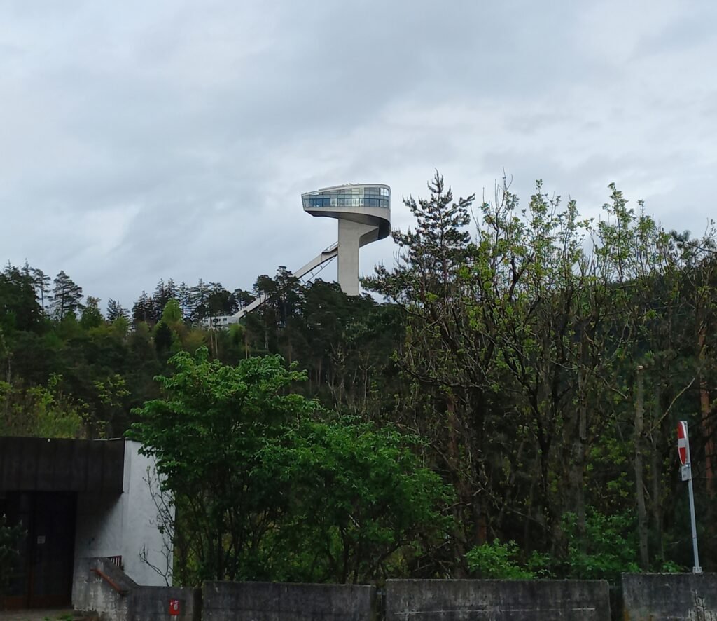
Begin at Triumphpforte and continue south through Wilten rather than retracing the Old Town. Wiltener Platzl, Wilten Basilica, and Wilten Abbey create a logical sequence before the climb toward TIROL PANORAMA and Bergisel Ski Jump. The final approach is the important contrast with Day 1: distance remains manageable, but elevation becomes noticeable. Tram 1 can shorten the Bergisel journey or save the return walk. If Nordkette matters more than Bergisel, skip this southern route and use the Hungerburgbahn from its Old Town station. The funicular and cable-car ascent is transport, not part of the walking map.
When Transit Helps
Transit is most useful once the itinerary leaves Innsbruck’s compact central core. Trams and buses make Bergisel, Alpenzoo, the airport and outer neighborhoods easy to reach, while Nightliner services provide additional late connections. Tickets are available through IVB apps, online and at machines around the city. Nordkette uses a separate ticket and fare system from ordinary city transport, so check current IVB and Nordkette prices before travel.
Arriving in Innsbruck Without a Car
Innsbruck Airport connects directly with Hauptbahnhof by public transport, while the main station itself sits only a short walk from the central visitor area. Long-distance rail also connects Innsbruck with Salzburg, Vienna, Munich, northern Italy and Switzerland. Check the current IVB and ÖBB timetables before travel, since engineering works can occasionally alter individual services without changing the city’s overall car-free accessibility.
When a Car Helps
A private car adds little to the two-day city itinerary in this guide. Old Town parking would not improve the compact central walks, and Bergisel, Alpenzoo, Nordkette, and Ambras all have public-transport options. A car becomes more useful for dispersed Alpine valleys, ski areas, trailheads, or several regional stops in one day. Those excursions sit outside Innsbruck’s city pedestrian geography and should not be confused with the walkability of the urban weekend.
Walking Limitations and Practical Tips
Historic surfaces are the main central comfort caveat. Maria-Theresien-Straße has high-quality pedestrian space, but Old Town stone paving can be less forgiving for wheels or tired feet. Beyond pedestrian streets, visitors also meet tram tracks, bicycles, and larger traffic corridors around the station and inner city. The central Inn bridges are straightforward, so the river is more an edge and viewpoint than a serious barrier. The major physical challenge begins south toward Bergisel or north above the valley floor. Use transit when elevation adds little sightseeing value to the walk itself.
Seasonal Walking Context
Snow, ice, and winter cold can make stone paving and slopes more demanding, especially around elevated attractions. Summer heat, thunderstorms, or strong sun can also shorten a comfortable walking day. These conditions change walking comfort rather than Innsbruck’s underlying distances and connections. Check forecasts and mountain operating information separately when Nordkette or Bergisel is part of the plan.
Bottom Line
Innsbruck works best as two different car-free experiences. The first is an unusually compact valley-floor city, where the station, Old Town, river, and major historic sights connect naturally on foot. The second begins when the itinerary climbs: Bergisel is walkable with effort, while Nordkette and Ambras are better treated as transit-supported extensions. That separation keeps the weekend efficient without pretending the surrounding mountains are part of one flat sightseeing core.