
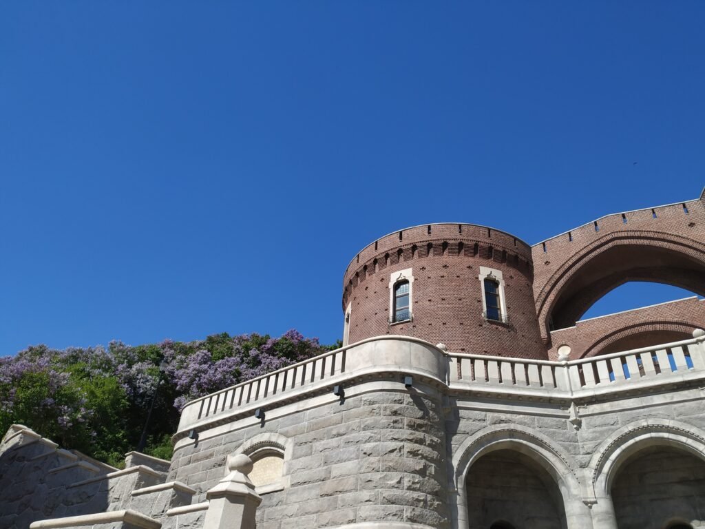
Two levels shape this weekend more than the city’s modest footprint suggests. The station, Stortorget, Kullagatan, Mariakyrkan, Dunkers, and Norra Hamnen sit inside a compact lower-city network. Above them, Kärnan rises across the Landborgen escarpment, reached most directly by Terrasstrapporna. That short climb introduces real effort without making the historic core geographically dispersed. North of Dunkers, the harbor promenade extends walking naturally through Norra Hamnen and Gröningen toward Pålsjö. Fredriksdal sits farther east, while Sofiero is a genuine outer destination. That pattern favors long central walks, one thoughtful bus repositioning, and almost no reason to drive.
Why Helsingborg Works Well on Foot
The strongest feature is the relationship between the arrival hub and the main sights. Helsingborg C sits directly beside the lower center, so a train arrival does not create a separate transfer problem. Stortorget and Mariakyrkan are close, Kullagatan meets Stortorget, and Dunkers is about ten minutes from the station. Norra Hamnen then extends the same outing toward the water. Most first-day sights are close enough that transit adds little inside the core.
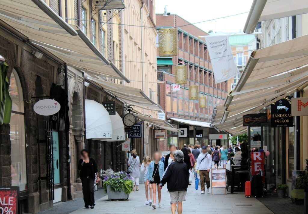
Kullagatan also improves the walking environment itself. Helsingborg’s city center identifies it as Sweden’s first permanent pedestrian street, established in 1961. Around Stortorget, the street pattern remains compact enough that wrong turns rarely create serious detours. Crowds and bicycles can still share parts of the central public realm, but the dominant visitor routes are straightforward.
The Kärnan Climb Changes the Effort, Not the Distance
Kärnan looks almost attached to Stortorget on a map, yet the vertical difference matters. Landborgen forms a steep escarpment of roughly 20–40 meters through Helsingborg. The direct Terrasstrapporna route has 133 steps, and Slottshagen itself is described by the city as hilly. That climb is the main physical test in an otherwise easy lower center.
Terrasshissen can provide an alternative between Stortorget and Slottshagen when operating. Service availability and opening times can change, so travelers who want to avoid the stairs should check current lift status and accessible alternatives before setting out.
The Waterfront Is a Natural Extension of the Center
Dunkers, Norra Hamnen and Gröningen form Helsingborg’s clearest long-form walking sequence. The city places Gröningen immediately north of Norra Hamnen, while Pålsjö strand continues along the promenade farther north. These spaces do not require a transport jump from the center. The tradeoff is exposure: wind and colder conditions can make the same distances feel more demanding than sheltered inland streets.
Where to Stay for the Easiest Walking
Stortorget and Kullagatan provide the most balanced base for first-time sightseeing. The Helsingborg C and harbor edge are even better for luggage and arrival simplicity. Norra Hamnen and Sundstorget suit travelers prioritizing Dunkers, Gröningen and the waterfront. All three zones keep the core compact; there is little walkability reason to stay far outside them for a short city break.
Useful Walking Distances
- Helsingborg C to Dunkers Kulturhus: about 850 meters, or roughly ten minutes on foot.
- A Stortorget base places Kärnan extremely close horizontally, but the Landborgen climb adds effort.
- Stortorget to Fredriksdal: about 2.2 kilometers in Visit Helsingborg’s nearby-distance context.
- Central Helsingborg to Sofiero: roughly five kilometers by direct distance, or about six kilometers along Landborgspromenaden from Kärnan.
These are practical planning estimates rather than guaranteed walking times. The Landborgen climb, route choice and individual pace can make short map distances feel considerably different.
A 2-Day Walking Route
The two days separate the compact core from the longer northern and eastern extensions. Day 1 uses the historic center and harbor without repeating the Kärnan climb. Day 2 begins with a short bus repositioning to Fredriksdal, then walks back through Pålsjö and the waterfront.
Day 1 — Historic Core to Norra Hamnen
Walking route
Day 1 — Historic core to Norra Hamnen
- Helsingborg Central (Knutpunkten)
- St Mary’s Church (Mariakyrkan)
- Stortorget
- Terrasstrapporna
- Kärnan
- Slottshagen
- Kullagatan
- Dunkers Kulturhus
- Norra Hamnen
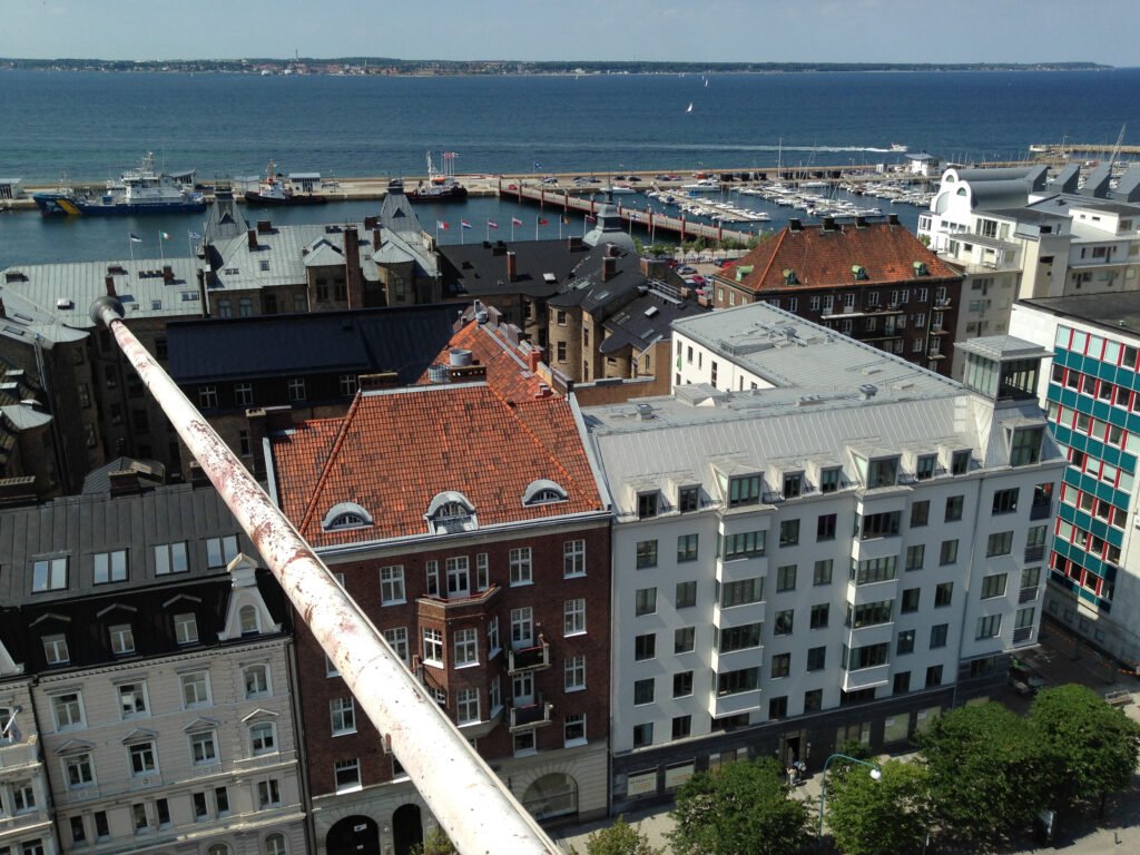
Start at Helsingborg C and walk into the old center through Mariakyrkan and Stortorget. Climb Terrasstrapporna once for Kärnan and Slottshagen, then descend toward Kullagatan. Continue to Dunkers Kulturhus and finish around Norra Hamnen. This order keeps the uphill section concentrated and avoids using transit for distances that are already comfortably walkable.
Day 2 — Fredriksdal, Pålsjö and the Northern Waterfront
Walking route
Day 2 — Fredriksdal to Pålsjö and the northern waterfront
- Fredriksdal Museums and Gardens
- Pålsjö skog
- Pålsjöbaden
- Fria Bad
- Gröningen
- Norra Hamnen
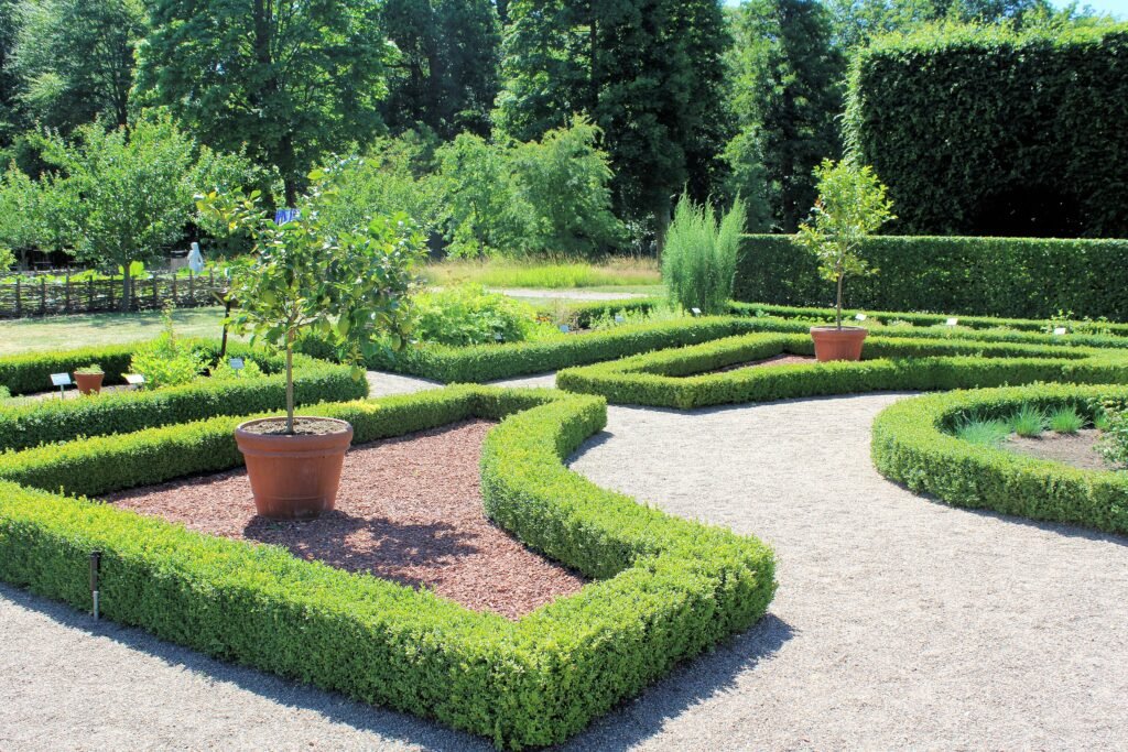
Use a city bus from Helsingborg C to Fredriksdal rather than spending your first hour on ordinary approach streets. After the museum and gardens, continue northwest toward Pålsjö skog, then descend to Pålsjöbaden. Follow the strandpromenade south through Fria Bad and Gröningen toward Norra Hamnen. The final section is a continuous waterfront walk back toward the center.
Sofiero is better handled separately. The signed Landborg route from Kärnan is about six kilometers and includes several stairs and slopes. A direct local bus is the practical choice for most weekend visitors. Sofiero works better as a separate outer excursion than as part of Helsingborg’s compact central walking route.
When Transit Helps
Local buses matter mainly after the central walking area runs out. They are useful for Fredriksdal, Sofiero and other outer stops, while the station, historic center and waterfront usually remain simpler on foot.
Skånetrafiken provides local journey planning and ticketing across the city. Routes, frequencies and payment options can change, so check current information before travel, especially for evening and Sunday journeys.
Arriving Without a Car
Copenhagen Airport is a practical international gateway for Helsingborg, with direct rail services available to Helsingborg C. Journey times and frequencies vary by timetable, so check current Öresundståg or Skånetrafiken information before travel. Carry valid identification when entering Sweden from Denmark.
Other airports may also work depending on your itinerary, but Helsingborg C provides the strongest final-arrival advantage: rail, buses and ferries meet directly inside the city center, beside the principal walking area.
Using the Ferry for a Regional Excursion
Foot-passenger ferries connect Helsingborg with Helsingør directly across the Øresund. Sailing times and frequencies can change, so check the current operator timetable before travel. Helsingør and its attractions are best treated as a separate regional excursion rather than part of the Helsingborg city itinerary.
Do You Need a Car in Helsingborg?
A private car solves very little inside the normal two-day visitor footprint. Central parking would add friction where the station, historic core and waterfront already connect well on foot. Buses handle Fredriksdal and Sofiero efficiently. A car becomes more useful for regional trips such as Kullaberg, Mölle and other dispersed destinations beyond Helsingborg.
Limitations and Practical Tips
- Do not judge the Kärnan climb by map distance; the escarpment and stair route are the important factors.
- Check Terrasshissen before relying on it, especially if avoiding stairs is important.
- Use public transport for Sofiero and consider it for Fredriksdal when saving time or energy matters.
- Expect additional stairs and slopes on Landborg routes north toward Pålsjö and Sofiero.
- The waterfront is easy to follow but exposed to wind, especially around Gröningen and Pålsjö.
- Temporary park or street works can occasionally alter individual routes, so follow current local notices when necessary.
Seasonal Walking Note
Late spring through early autumn offers the longest daylight for waterfront walks, while winter brings more wind, shorter days and potentially slippery surfaces. The waterfront remains exposed in every season, so dress for changing conditions. Check Terrasshissen separately if your route depends on the lift.
Bottom Line
Helsingborg works best as a compact lower-city weekend with one meaningful climb and a few deliberate extensions. The station, Stortorget, Kullagatan, Mariakyrkan, Kärnan, Dunkers and Norra Hamnen connect naturally as one central itinerary. Continue north along the waterfront, use public transport selectively for Fredriksdal, and treat Sofiero as a separate outer destination.