
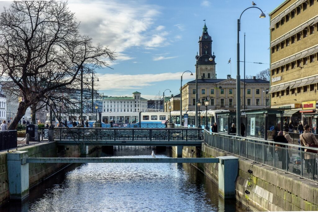
A chain of canals, squares, and boulevards gives the central visitor area a clear walking shape. Central Station, Brunnsparken, Gustav Adolf Square, and Kungsportsplatsen sit inside a compact, bridge-rich core. From there, Avenyn rises gently for 860 metres toward Götaplatsen and the Museum of Art. Haga and Järntorget form a natural western extension, while Linné continues toward Slottsskogen. Liseberg and Universeum pull the footprint south, but remain walkable from the center. The Göta älv creates a sharper break, so Lindholmen feels separate despite fast ferries and new tram service.
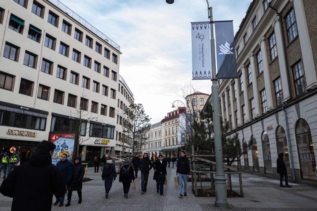
How Gothenburg’s Visitor Core Fits Together
The most coherent pedestrian chain begins at Central Station and quickly reaches Brunnsparken, Gustav Adolf Square, and Kungsportsplatsen. Canals interrupt the street grid visually, but frequent bridges keep central detours short. The waterways are often useful for orientation because the moat outlines much of the historic center. From Kungsportsplatsen, Avenyn runs 860 metres to Götaplatsen on a broad, legible boulevard. Universeum and Liseberg continue the same southward direction around Korsvägen, rather than forming a disconnected sightseeing zone.
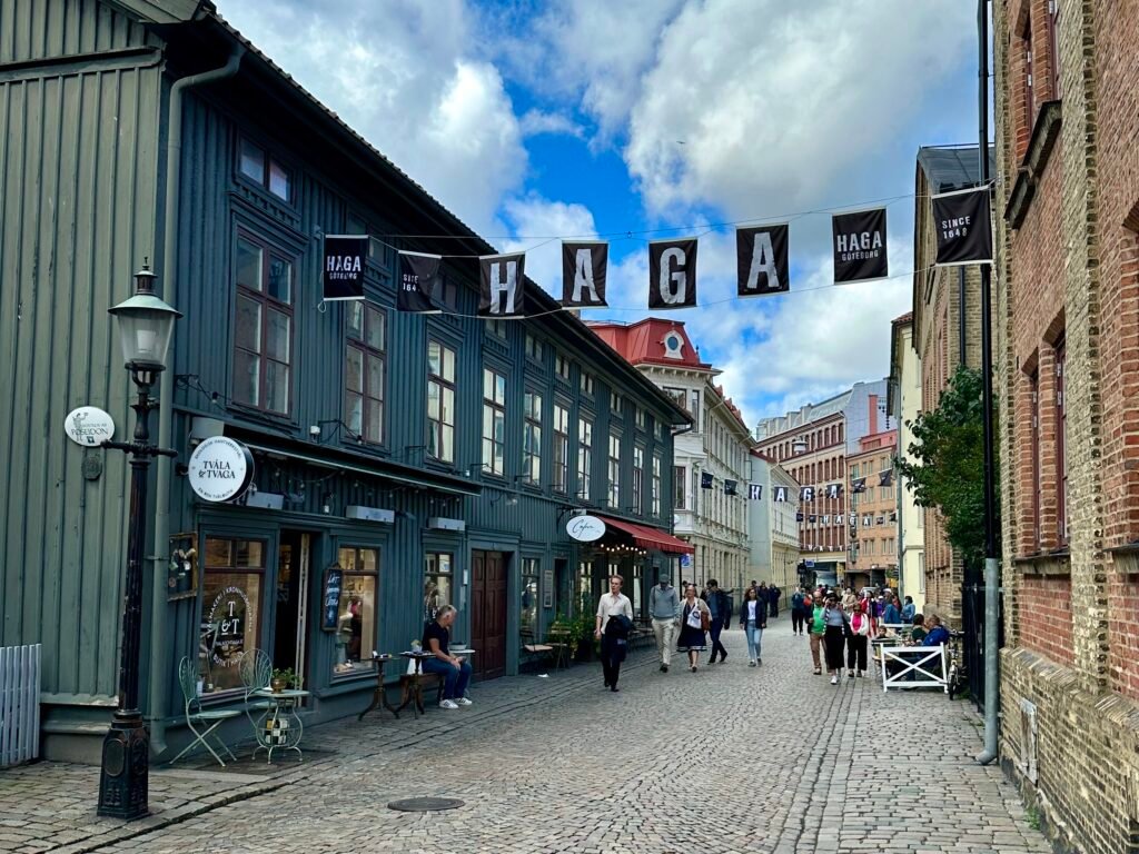
West of the canal core, Kungsparken and Rosenlund lead naturally toward Feskekörka and Haga. Visit Gothenburg gives about ten minutes on foot between Feskekörka and Haga. Haga then flows into Järntorget and Linné without requiring a transit jump. Slottsskogen is different: it extends the route farther west and adds park mileage. Across the Göta älv, Lindholmen is a separate walking district even though ferries and trams make access easy.
Best Areas to Stay for Walking
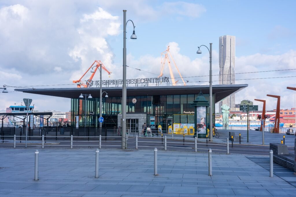
A base near Central Station or inside the moat is the simplest choice for a first visit. You can walk immediately to Nordstan, Brunnsparken, the canal streets, Kungsportsplatsen, and much of the historic center. Avenyn and Heden work especially well for travelers prioritizing Götaplatsen, Universeum, Scandinavium, or Liseberg. Haga and Järntorget favor the western half of the city, including Linné and Slottsskogen. No single district places every attraction at the same distance, so choose the cluster matching your highest-priority day.
Useful Walking Times
Kungsportsplatsen to Götaplatsen: about 10–12 minutes along Avenyn’s 860 metres.
Central Station to Universeum: about 20 minutes, according to Universeum.
Central Station to Liseberg: allow about 20 minutes to the north entrance; published attraction guidance varies.
Feskekörka to Haga: about 10 minutes in Visit Gothenburg’s current itinerary.
Järntorget to Linnéplatsen: allow roughly 15–20 minutes along Linnégatan.
These are practical planning estimates rather than guaranteed walking times. Crossings, crowds, construction and exact entrances can change the actual time.
A 2-Day Walking Route
The two days split the visitor footprint by direction rather than repeating the same central streets. Day 1 moves south from the station through the canal core and Avenyn. The route finishes at Universeum and Liseberg, where trams make the return easy. Day 2 moves steadily west from Stenpiren through Haga and Linné to Slottsskogen.
Day 1 — Central Station, canals, Avenyn and Liseberg
Walking route
Day 1: Central Station, canals, Avenyn and the southern attractions
- Göteborg Centralstation
- Brunnsparken
- Gustav Adolf Square
- Kungsportsplatsen
- Kungsportsavenyen
- Götaplatsen
- Gothenburg Museum of Art
- Universeum
- Liseberg North Entrance
Start at Göteborg Centralstation and pass through Brunnsparken before crossing the civic center around Gustav Adolf Square. Continue beside the canals to Kungsportsplatsen, then follow Avenyn south to Götaplatsen. The Museum of Art is directly on the square, so it adds no geographic detour. From there, continue toward Korsvägen, Universeum, and Liseberg. Temporary works can occasionally change the easiest crossing around Korsvägen, but the attractions remain connected on foot.
Day 2 — Stenpiren, Haga, Linné and Slottsskogen
Walking route
Day 2: Stenpiren, Feskekörka, Haga, Linné and Slottsskogen
- Stenpiren
- Feskekörka
- Haga Nygata
- Järntorget
- Linnégatan
- Linnéplatsen
- Slottsskogen
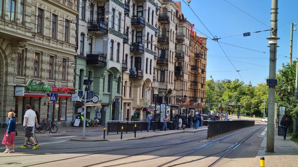
Begin at Stenpiren to see how the city meets the Göta älv without turning the waterfront into a separate excursion. Walk west through Rosenlund to Feskekörka, then continue into Haga on the same side of the center. Leave Haga toward Järntorget and follow Linnégatan to Linnéplatsen. Finish inside Slottsskogen, choosing flatter paths if you want to avoid the park’s hillier sections. Use a tram or bus back from Linnéplatsen instead of retracing the entire route.
When Trams and Ferries Help
Gothenburg’s public transport is most valuable once the itinerary moves beyond a coherent walking district. Trams, buses and ferries make Majorna, Slottsskogen, Korsvägen, Lindholmen and other outer areas easier to include without a car.
Västtrafik provides integrated local ticketing across much of the network. Fare products, contactless options and individual route patterns can change, so check current Västtrafik information before travel rather than relying on fixed line numbers or ticket durations in the guide.
Arriving Without a Car
Göteborg Landvetter Airport has direct coach connections toward central Gothenburg, including stops close to major visitor areas. Journey times and frequency vary with traffic and timetable, so check current airport and operator information before travel.
Rail arrival is especially convenient because Göteborg Centralstation sits directly beside the central visitor area. Intercity services connect Gothenburg with other major Scandinavian cities, making a car unnecessary for most arrivals.
When a Car Helps
A private car adds little to a standard two- or three-day Gothenburg city break. It becomes more useful for regional trips such as Marstrand, Gunnebo House, Borås or dispersed West Sweden destinations. The archipelago is also better treated as a separate excursion rather than part of the central walking itinerary.
Walking Limitations and Practical Tips
The main permanent limitation is distance, not a missing pedestrian network. Slottsskogen extends the western day, and Majorna sits farther again. Haga’s cobbles can be slower for some walkers, while tram rails require care at crossings. The optional Skansen Kronan climb is noticeably steeper than the surrounding Haga streets. Slottsskogen also contains hilly and rocky sections, although flatter paths remain available.
Major construction projects can temporarily alter crossings, tram stops and pedestrian routes around areas such as Haga, Rosenlund, Korsvägen or the central station. Check current Västtrafik and Trafikverket notices when your itinerary depends on a specific stop or construction-side path.
Seasonal Walking Note
Canal edges and the Göta älv can feel exposed in windy or wet weather. Winter brings shorter daylight and occasional slippery surfaces, while summer evenings make longer walking days easier. Seasonal conditions change walking comfort rather than the distances between Gothenburg’s main visitor areas.
Bottom Line
Gothenburg combines a coherent central walking network with unusually useful public transport at its edges. The canal core, Avenyn, Haga and Järntorget connect naturally on foot, while Liseberg and Universeum remain manageable southern extensions. Use trams, buses or ferries for Majorna, Lindholmen and other longer gaps rather than forcing unnecessary cross-city walks.