
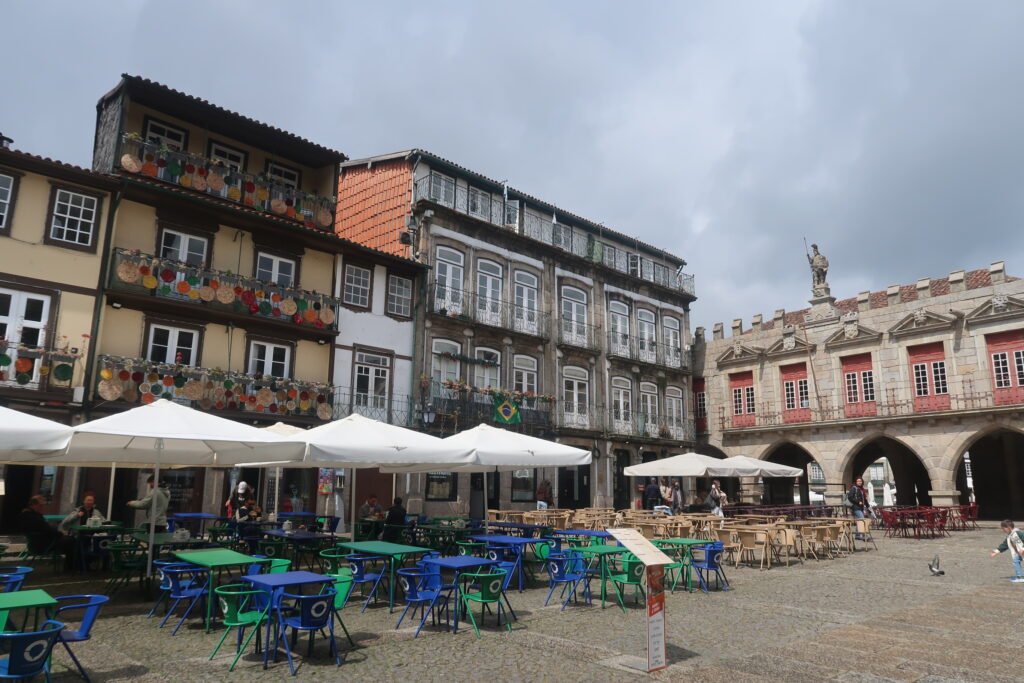
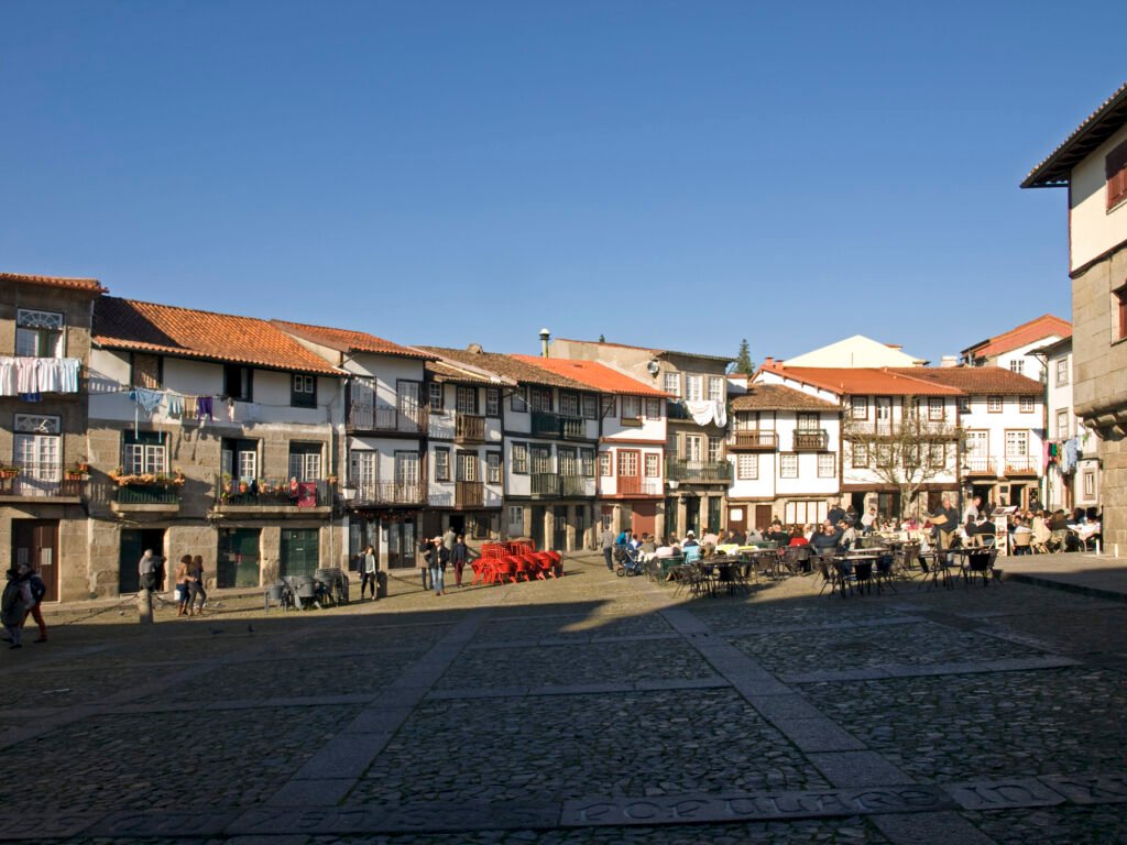
Guimarães compresses its essential first-time sights into a narrow pedestrian chain between Toural and the castle. Largo da Oliveira and Praça de Santiago sit virtually beside each other. Rua de Santa Maria then carries the route north toward Paço dos Duques and Castelo de Guimarães. The railway station remains close enough to join this system on foot, though luggage makes the approach less effortless. Southward, Zona de Couros extends the cultural footprint without creating a separate cross-city trip. Penha changes the pattern entirely. It rises outside the medieval core and works best as a cable-car-assisted extension rather than another central walk.
Why Guimarães Works So Well on Foot
The central sequence is unusually efficient. Toural sits only minutes from Largo da Oliveira and Praça de S. Tiago. Those paired squares lead directly into Rua de Santa Maria, the historic link toward the upper town. Paço dos Duques and Castelo de Guimarães sit beyond the tightest medieval cluster, but remain close enough to continue walking. Nothing in this chain requires transit, and the modest rise belongs to walking effort rather than geographic distance.
Pedestrian priority is strongest inside the historic intramuros area. Vehicle access there is conditioned around the clock, not eliminated entirely. Residents, deliveries, hotel guests, taxis, emergency vehicles, and other authorized users retain defined access. That matters on narrow streets, where walkers still share space occasionally. Toural is different again: the municipality describes it as both a pedestrian convergence space and a vehicular axis.
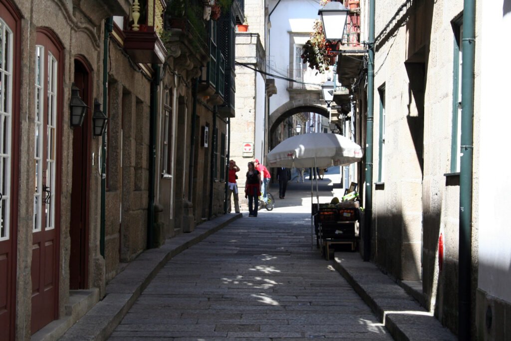
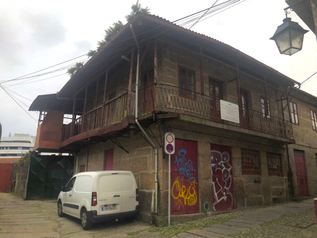
Historic paving is the main surface caveat. Granite streets and cobbled sections create character, but rolling luggage and mobility devices can feel every joint. Rua de Santa Maria is especially useful because its alignment is direct, yet the stone surface requires more attention than smooth modern paving.
Best Areas to Stay for a Walking Weekend
The historic center is the strongest base for immediate access to Oliveira, Santiago, Rua de Santa Maria, and the castle route. Toural offers a slightly broader central base with shops, restaurants, and quick links toward CIAJG and Alameda de São Dâmaso. Avenida Dom João IV works well for rail arrivals and remains close to the historic core. Official tourism listings place hotels in all three zones, so staying centrally is easy.
Practical Walking Times
Allow about 15–20 minutes from Guimarães railway station to the central visitor area; CP gives about 20 minutes to downtown. Toural to Largo da Oliveira is roughly 3–5 minutes, while Oliveira and Santiago are almost adjacent. From Santiago, allow about 7–10 minutes up Rua de Santa Maria to Paço dos Duques. The castle is another 2–4 minutes beyond the palace. These are practical planning estimates rather than guaranteed walking times.
A 2-Day Walking Route
Day 1 — Station, Medieval Squares and Castle
Walking route
Day 1 — Station to the medieval core and castle
- Guimarães Railway Station
- Avenida Dom João IV
- Largo do Toural
- Igreja de Nossa Senhora da Oliveira
- Praça de S. Tiago
- Rua de Santa Maria
- Paço dos Duques de Bragança
- Castelo de Guimarães
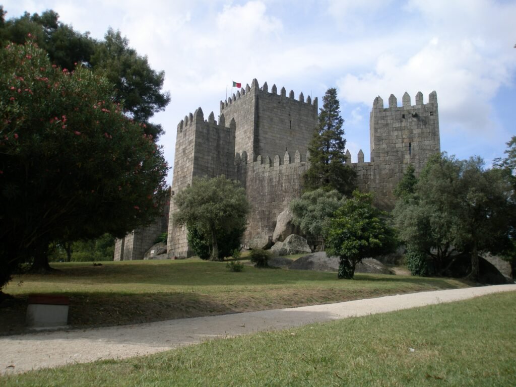
Start at Guimarães railway station and follow Avenida Dom João IV toward Toural. Enter the historic core at Largo da Oliveira, step across to Praça de S. Tiago, then follow Rua de Santa Maria north. Finish with Paço dos Duques and Castelo de Guimarães on Monte Latito. The mapped route stays compact instead of stretching the day with unnecessary mileage.
Day 2 — Couros, Contemporary Culture and Penha
Walking route
Day 2 — Contemporary center, Alameda, Couros and Penha connector
- Centro Internacional das Artes José de Guimarães
- Alameda de São Dâmaso
- Curtir Ciência — Centro Ciência Viva de Guimarães
- Zona de Couros — Rua de Vila Verde
- Teleférico de Guimarães — Estação Inferior
Begin at CIAJG, then cross the central city toward Alameda de São Dâmaso and the Couros extension. Curtir Ciência provides a reliable geocodable anchor among the former tanning streets. Continue to the lower Teleférico de Guimarães station at Largo das Hortas. The cable-car ascent is not part of the walking distance. At Penha, add summit paths only if time and operating conditions suit the day.
Using Transit Without Losing the Walk
Local buses become most useful once the itinerary moves beyond the medieval center, including trips toward Penha and outer neighborhoods. Central sightseeing itself requires very little transit. Check current Guimabus routes, fares and operating times when planning an outer trip.
The Penha cable car is a specialized vertical connection rather than ordinary city transit. Operating hours, maintenance periods and fares can change through the year, so check its current status before building the day around it. When operating, it makes Penha easy to add without turning the mountain ascent into a long city walk.
Arriving in Guimarães Without a Car
From Porto by Train
Direct CP services connect Porto with Guimarães throughout the day. From the railway station, the central visitor area is within walking distance, although the final approach is less convenient with heavy luggage than the short walks inside the historic core. Check the current CP timetable before travel.
From Porto Airport
Porto Airport is a practical international gateway for Guimarães. Direct coach services can provide a simple one-seat connection to the city, while Metro-plus-rail combinations offer another option. Check current coach and rail schedules before choosing the route that best matches your arrival time.
When a Car Helps
A car adds little to the standard city weekend. Citânia de Briteiros is different because it lies 15 kilometers from the city center. Treat it as a separate regional excursion rather than proof that Guimarães itself is spread out. Braga and Porto are also separate destinations, not extensions of the city walking core.
Limitations and Practical Tips
Stone paving is the most consistent central inconvenience, especially with wheels or reduced mobility. Authorized vehicles can still enter parts of the conditioned historic zone, so pedestrian priority does not mean zero traffic. The station approach uses ordinary city streets and crossings rather than a dedicated promenade. Penha deserves separate planning because its elevation and distance remain significant even when the cable car is operating.
Seasonal Walking Context
Warm months make Alameda and café-lined squares especially useful for shaded breaks. Rain can make polished granite and cobbled sections more slippery, so footwear matters. These conditions affect comfort on a given weekend without changing the short distances between the main central sights.
Bottom Line
Guimarães fits a walking-first weekend unusually well because the essential historic sights sit in one compact, legible chain. The station remains walkable, Couros extends the center naturally, and transit handles the few useful outer jumps. Plan Penha separately, respect the stone surfaces, and reserve a car for regional excursions rather than central sightseeing.