
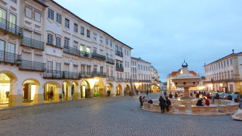
Inside Évora’s walls, the visitor map compresses quickly around Praça do Giraldo and the cathedral precinct. Rua 5 de Outubro links the main square with the Sé, Roman Temple, museum, and nearby cultural sites. Southward, São Francisco and the Capela dos Ossos sit only another short walk away. The old university and aqueduct-edge streets widen the footprint without breaking the core into separate sightseeing zones. Beyond the walls, walking conditions become less consistently pedestrian-focused, especially toward the railway station. Regional megaliths and Alentejo towns belong to separate excursions, not the city’s walking system.
Why Évora Works So Well on Foot
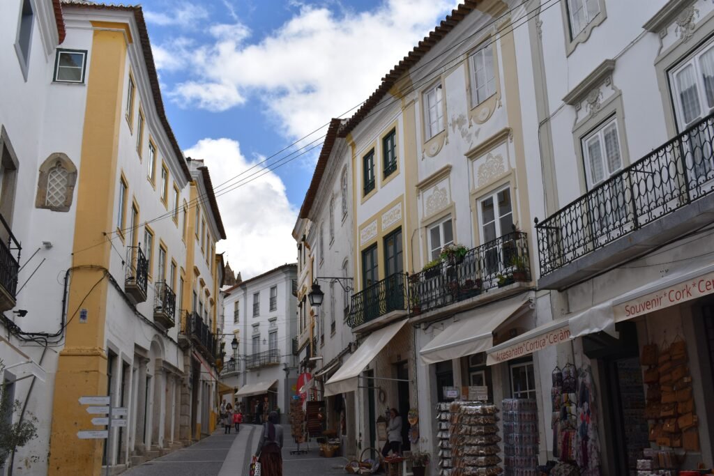
Praça do Giraldo works as the pedestrian hinge for a first visit. Rua 5 de Outubro leads directly toward the Cathedral, Roman Temple, Jardim de Diana and national museum cluster. The university is another short extension east. South of Giraldo, São Francisco and the Capela dos Ossos remain comfortably inside the same walking system. The walls define the historic center without isolating its major sights behind awkward pedestrian gaps. Regional megaliths are a different geography and should be planned separately.
Best Areas to Stay for Walking
The easiest bases are inside the walls around Praça do Giraldo, Rua 5 de Outubro, the Cathedral precinct and São Francisco. Official listings include accommodation directly beside the Roman Temple and museum area. Properties immediately outside the walls can also work well, especially near a convenient gate. Check the actual walking route before booking, because an Évora address does not guarantee an equally central location.
Practical Walking Times
Praça do Giraldo to the Cathedral is roughly 5–7 minutes, with a gentle uphill tendency. The Cathedral to the Roman Temple and Jardim de Diana takes about 2–3 minutes. The Temple to Colégio do Espírito Santo is roughly 6–8 minutes. Giraldo to São Francisco and the Capela dos Ossos is about 5–7 minutes. São Francisco to Jardim Público takes roughly 2–4 minutes. Giraldo to the Rua do Cano aqueduct area is about 8–12 minutes. Évora railway station is about 20 minutes from the historic center. These are practical planning estimates rather than guaranteed walking times.
A 2-Day Walking Route
Day 1 — Giraldo, Cathedral and the Roman Core
Walking route
Day 1 — Giraldo, Cathedral and the Roman Core
- Praça do Giraldo
- Rua 5 de Outubro
- Sé Catedral de Évora
- Museu Nacional Frei Manuel do Cenáculo
- Templo Romano de Évora
- Jardim de Diana
- Universidade de Évora — Colégio do Espírito Santo
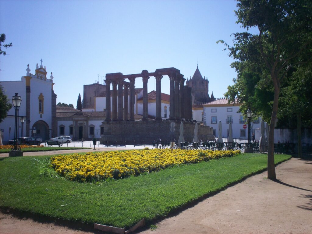
Start at Praça do Giraldo, then follow Rua 5 de Outubro toward the Cathedral. Stay on the upper central cluster for the national museum, Roman Temple and Jardim de Diana rather than dropping back south. Finish at Colégio do Espírito Santo, the University of Évora’s historic main complex. The listed anchors are intentionally close together. This compact route leaves more time for interiors, viewpoints and unhurried stops rather than adding unnecessary walking.
Day 2 — São Francisco, Gardens and the Aqueduct Edge
Walking route
Day 2 — São Francisco, Gardens and the Aqueduct Edge
- Igreja de São Francisco e Capela dos Ossos
- Jardim Público de Évora
- Palácio de D. Manuel
- Praça do Giraldo
- Aqueduto da Água de Prata — Rua do Cano
- Porta de Aviz
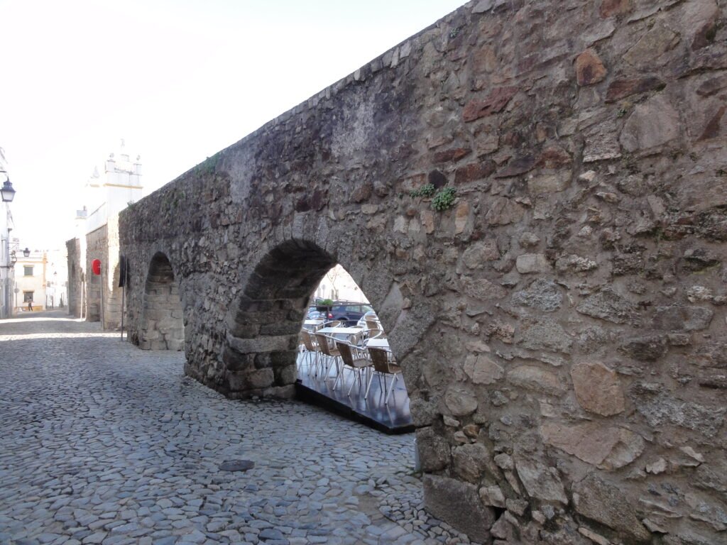
Begin at São Francisco and the Capela dos Ossos, then move directly into Jardim Público and the Palácio de D. Manuel. Cross the center through Praça do Giraldo only once and continue north toward Rua do Cano. Here the Aqueduto da Água de Prata becomes part of the street fabric instead of a distant monument line. Finish at Porta de Aviz. This second day is shorter and slower by design, leaving time for interiors and cafés.
When Local Buses Help
Local buses are most useful for the railway station, bus terminal and destinations outside the walled center. Linha Azul is particularly useful for short central connections, while the wider network serves outer neighborhoods and university areas. Mobile ticketing and journey planning are available through local transport services. Check current fares and operating times before travel, especially on weekends.
Arriving in Évora Without a Car
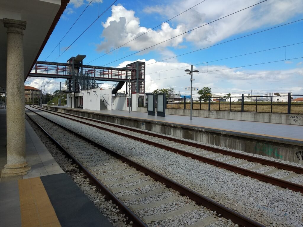
Direct rail services connect Évora with Lisbon, making arrival straightforward without a car. The railway station sits outside the walls, so expect a final walk or short local transfer into the historic center. The intercity bus terminal is closer to the central area and provides another useful option from Lisbon and other Portuguese cities. Check current CP and coach timetables for your travel date.
When a Car Helps
A car becomes much more useful once the trip leaves Évora’s city walking system. Cromeleque dos Almendres, Anta Grande do Zambujeiro, Monsaraz, Estremoz, Vila Viçosa and Arraiolos are separate regional outings. Choose a car, tour, taxi or suitable regional service according to the excursion. None belongs on the city walking maps or changes how compact the historic center is.
Walking Limitations and Tips
Historic paving is part of the practical walking experience, not an automatic advantage. Official accessibility guidance notes generally good central surfaces and broad pedestrian streets, but also uneven areas, steps and incomplete tactile paving. Some narrow lanes still mix walkers with deliveries or local traffic. The station surroundings have wide footpaths and lowered crossings, yet the approach is longer and less pedestrian-focused than central sightseeing. Use comfortable shoes and allow extra time if rough stone or steps are difficult.
Seasonal Walking Context
Summer heat can make midday walking the practical limiting factor even when distances remain short. Start earlier, use shaded streets and garden stops, and carry water during hotter periods. After rain, polished or uneven stone deserves slower footing. Seasonal conditions change comfort more than the basic walking distances between Évora’s central sights.
Bottom Line
For a two-day stay, Évora’s essential historic sights fit comfortably into one compact walking area. Public transport matters mainly for arrival and destinations beyond the walls. Stay inside or close to the historic center, keep regional excursions separate, and there is little reason to use a car for ordinary sightseeing.