
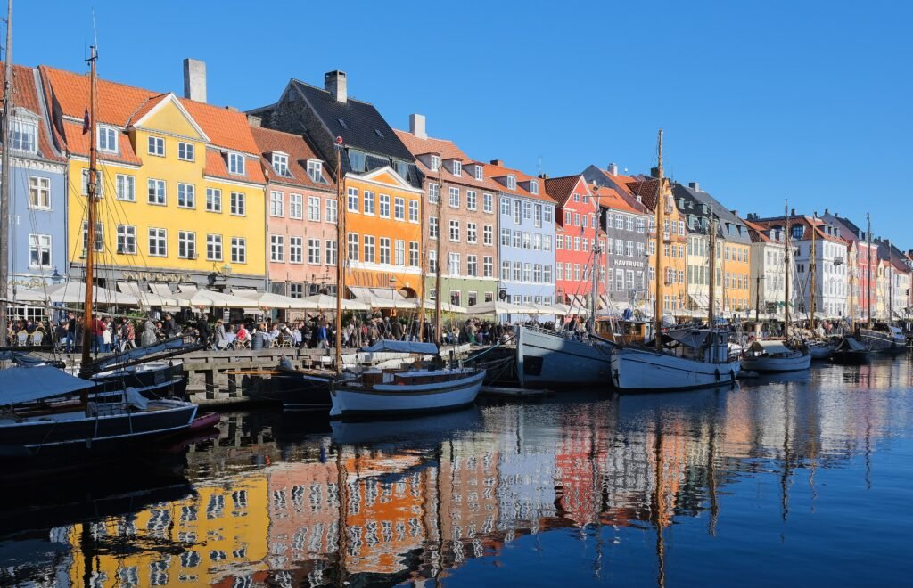
Water shapes the visitor map without breaking it apart. The historic center runs west to east through Tivoli, City Hall, Strøget, Slotsholmen, and Kongens Nytorv. Nyhavn and Amalienborg continue that chain toward the harbor, while Inderhavnsbroen creates a direct pedestrian link into Christianshavn. Northward, Rosenborg, the Round Tower, and Torvehallerne remain close enough for easy detours. The Little Mermaid and Kastellet sit farther along the waterfront, and Frederiksberg becomes a separate outing. Flat terrain keeps distances manageable, but busy cycle crossings and historic paving still demand attention.
How Copenhagen Actually Works on Foot
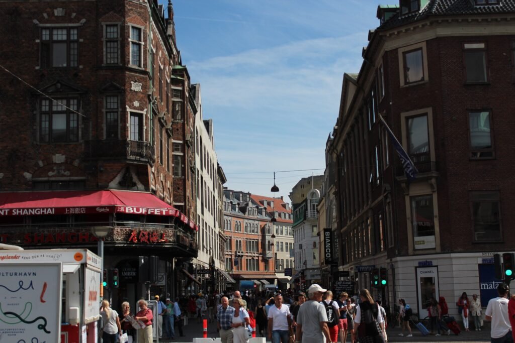
The strongest visitor geography begins at København H and Tivoli, then reaches City Hall Square within minutes. From there, Strøget creates a 1.1-kilometer pedestrian spine through Gammeltorv, Nytorv and Amagertorv to Kongens Nytorv. Christiansborg sits just south of that line on Slotsholmen, while the National Museum is a short detour near City Hall. Round Tower, Rosenborg and Torvehallerne form a compact northern branch rather than a separate district.
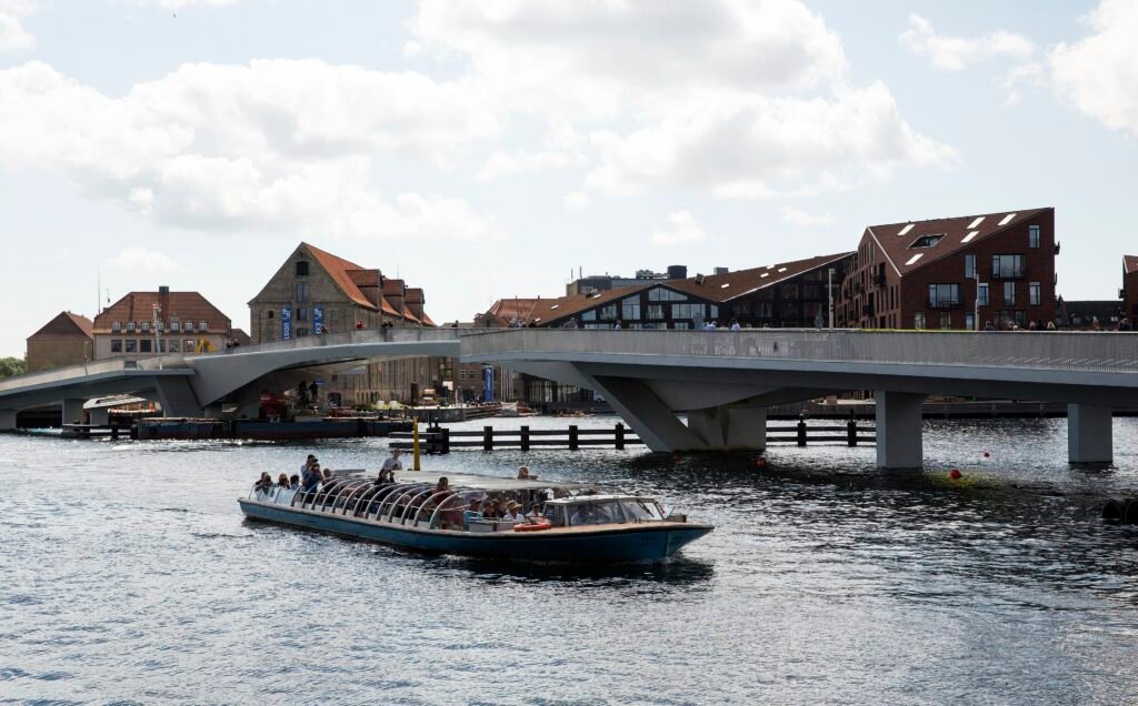
The harbor adds choices rather than a hard divide. Inderhavnsbroen gives pedestrians a direct connection between Nyhavn and Christianshavn. Bridges around Slotsholmen also keep Christiansborg tied into the old center. The Little Mermaid is different: it lies beyond Amalienborg and Kastellet, so the northern waterfront adds meaningful mileage. Nørrebro and Frederiksberg are still farther from the historic core and work better as separate neighborhood outings.
Where to Stay for the Most Walking
Indre By is the simplest base for a first visit because Strøget, Nyhavn, Rosenborg and several museums remain close. Vesterbro works especially well near Central Station, with Tivoli and City Hall immediately east. The Borgergade and Nørreport area balances old-center access with easy walks to Rosenborg, Torvehallerne and the harbor. Christianshavn is atmospheric and well connected, but some first-day sights sit across the harbor. Frederiksberg and deeper Nørrebro are better choices when neighborhood atmosphere matters more than minimizing sightseeing distances.
Useful Walking Times
Official station guidance gives useful scale checks. Tivoli is about two minutes from København H, while Strøget is about 15 minutes. From Rådhuspladsen, the National Museum is about seven minutes away. Nørreport places Torvehallerne about two minutes away, Round Tower about five minutes, and Rosenborg about seven. From Kongens Nytorv, Nyhavn is about seven minutes and Amalienborg about 12. Marmorkirken places Kastellet about 11 minutes away and the Little Mermaid about 17 minutes away.
These are practical planning estimates rather than guaranteed walking times. Crowds, crossings and individual pace can change the actual time.
A 2-Day Walking Route
Day 1: Central Station to the Historic Core
Walking route
Day 1 — Central Station, Strøget and the historic core
- Copenhagen Central Station (København H)
- Tivoli Gardens
- City Hall Square (Rådhuspladsen)
- Gammeltorv and Nytorv
- Christiansborg Palace
- Amagertorv and Strøget
- Round Tower (Rundetaarn)
- Rosenborg Castle and King's Garden
- Torvehallerne
Begin at København H, pass Tivoli and City Hall, then enter the Strøget network through Gammeltorv and Nytorv. Make a short spur to Christiansborg before returning through Amagertorv and continuing north to the Round Tower. Finish with Rosenborg, King’s Garden and Torvehallerne. This sequence keeps the longest walking inside the dense central network and ends beside Nørreport for an easy ride elsewhere.
Day 2: Christianshavn to the Little Mermaid
Walking route
Day 2 — Christianshavn, Nyhavn and the northern waterfront
- Christianshavn Metro Station
- Church of Our Saviour
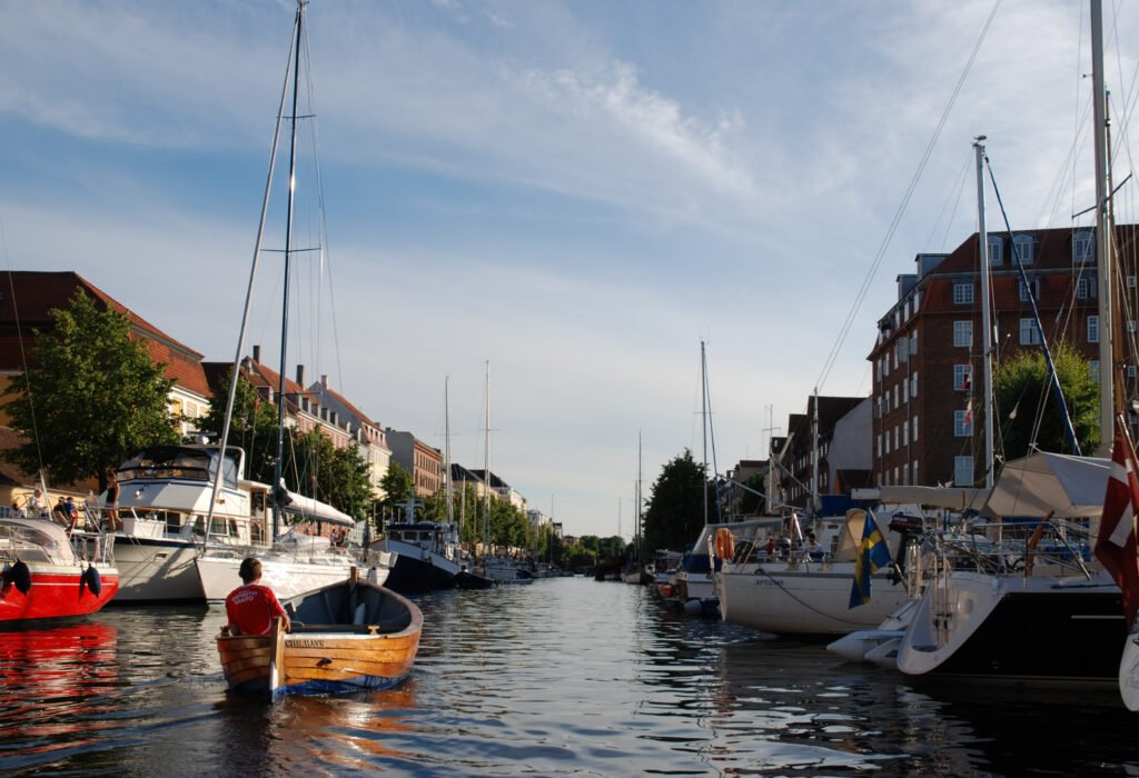
- Christianshavn Canal
- Inner Harbour Bridge (Inderhavnsbroen)
- Nyhavn
- Kongens Nytorv
- Frederik's Church (Marble Church)
- Amalienborg Palace
- Kastellet
- The Little Mermaid
Use the Metro to Christianshavn if your hotel is not nearby, then walk to the Church of Our Saviour and canal. Cross Inderhavnsbroen toward Nyhavn, watching carefully where pedestrian space meets busy cycle movement at the approaches. Continue through Kongens Nytorv, Frederik’s Church and Amalienborg before following the waterfront toward Kastellet. End at the Little Mermaid instead of walking the same waterfront back; transit or a shorter return walk can save energy.
When Transit Helps
Central sightseeing rarely requires transit, but Copenhagen’s network is unusually useful for repositioning. The M3 Cityring links Central Station, Vesterbro, Frederiksberg, Nørrebro and Østerbro, making separated districts easy to sample. M1 and M2 serve Christianshavn, while S-trains provide broader coverage from central stations. Harbor buses can be useful when a waterfront destination aligns with their route, but they are not necessary for the two walks above.
Metro, S-train, bus and harbor-bus services provide strong coverage throughout the city, including evening and overnight options on parts of the network. Copenhagen uses zone-based fares and several ticket products, so check current DOT or operator information before travel rather than relying on fixed frequencies or ticket assumptions in the guide.
Arriving Without a Car
Copenhagen Airport has direct Metro and rail connections into central Copenhagen, making a car unnecessary for most arrivals. The airport station connects with the terminal, while Metro services reach central stops such as Kongens Nytorv and Nørreport. Check current airport and transport information for the most convenient option on your travel date.
Regional and intercity trains also connect the airport with central Copenhagen. København H is especially convenient for Tivoli, City Hall and Vesterbro stays. Planned maintenance can occasionally alter airport or regional rail services, so check current service notices before travel.
When a Car Helps
A private car adds little to a normal Copenhagen weekend and can create parking and central-street friction. It becomes more useful only for trips built around destinations poorly aligned with rail or transit.Louisiana Museum of Modern Art, Kronborg Castle, Roskilde, Frederiksborg Castle, Dyrehaven and Malmö are better treated as separate regional excursions.
Walking Limitations and Practical Tips
Excellent cycling infrastructure does not eliminate pedestrian friction. Cycle tracks often sit between sidewalks and roadways, so visitors must check for bicycles before crossing toward the curb. Nyhavn’s south side and the Inderhavnsbroen landing have been redesigned to create more pedestrian space and clearer movement. The area still concentrates tourists and cyclists, making attention more important than the map suggests.
Strøget is pedestrianized, but its conditions should not be generalized to every central street. Historic paving can be uneven, crowds slow movement around major shopping and harbor areas, and larger roads still require conventional crossings. Terrain is rarely the problem: normal sightseeing routes are flat, and bridge ramps add only minor effort. Tower climbs at Rundetaarn and the Church of Our Saviour are optional attraction experiences.
Seasonal Walking Context
Wind and rain are more noticeable along exposed harbor stretches, while short winter daylight can shorten comfortable outdoor sightseeing time. Summer brings longer evenings but also heavier crowds around Nyhavn and the main pedestrian streets. These conditions change walking comfort rather than the distances between Copenhagen’s main sights.
Bottom Line
Copenhagen works best as a compact central walking network with transit used selectively at its edges. The City Hall–Strøget–Kongens Nytorv spine is unusually coherent, and harbor bridges extend that network into Christianshavn. The Little Mermaid, Nørrebro and Frederiksberg are genuine extensions rather than evidence of one tiny core. Choose a central base, walk by cluster, and use Metro or S-train service when distance stops adding sightseeing value.