
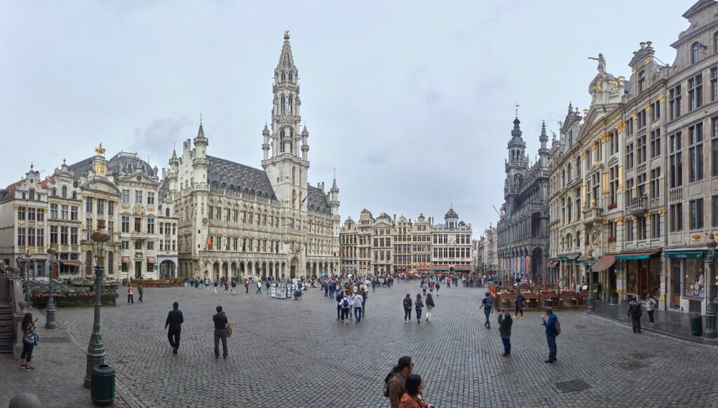
Brussels compresses many headline sights into a small center, but its two-level cityscape changes how those distances feel. Grand Place, the Galeries, Sainte-Catherine, and Dansaert sit in the lower city, where pedestrianized streets support easy wandering. Eastward, Mont des Arts rises toward Place Royale, Brussels Park, and the Royal Quarter. That climb is short but noticeable, especially when repeated between museums, viewpoints, and the historic core. Sablon and Marolles extend the central walking network south, while the European Quarter becomes a longer but still realistic continuation.
Why Brussels Works Well on Foot
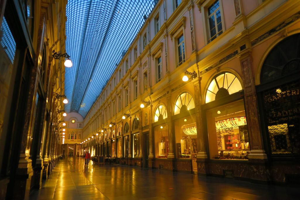
The strongest walking advantage is the concentration around Grand Place. The Galeries Royales Saint-Hubert sit only a few streets away, while Brussels-Central is immediately east of the historic core. Sainte-Catherine and Dansaert extend that pedestrian network west without creating a separate sightseeing zone. Southward, Sablon and Marolles remain close enough to combine with central sights in one long walk.
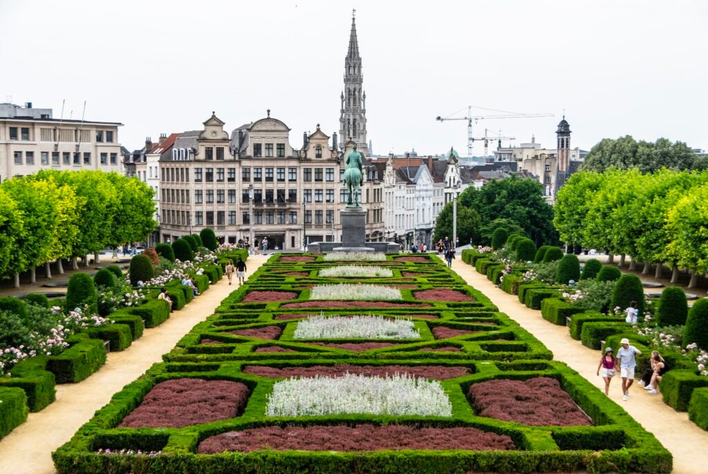
Density does not make every street equally comfortable. The expanded pedestrian zone removes much vehicle friction from the lower center, especially around Grand Place. Historic paving, crowds, delivery periods, tram tracks, and traffic corridors still require attention elsewhere. Mont des Arts adds a different challenge: elevation. It is a useful pedestrian link, but it is also a real climb toward Place Royale.
Best Areas to Stay for a Walking Weekend
A base between Grand Place and Brussels-Central minimizes both sightseeing mileage and arrival friction. Official tourism listings include several hotels within a few minutes of both. Sainte-Catherine and Dansaert are also strong choices, especially for restaurants and evening activity while remaining close to the historic center. Sablon suits travelers who prefer the upper city and museum side. Brussels-Midi is practical for international rail, but it is less central to most first-day sightseeing.
Realistic Walking Times in Brussels
Brussels-Central to Grand Place is roughly a 6–8 minute walk, and Grand Place to the Galeries is only a few minutes. Grand Place to Sainte-Catherine is about 10–12 minutes. Mont des Arts is around 8–10 minutes from Grand Place, but that leg climbs toward the upper city. Place Royale to Grand Sablon is about 6–8 minutes, while Sablon to Place du Jeu de Balle is around 12–15 minutes.
The European Quarter is the first major cluster where transit can save meaningful time. Walking from the historic center to the Parliament area takes roughly 25–30 minutes. That is realistic once, but using metro lines 1 or 5 for the outward leg preserves more energy for the district itself. The Atomium is different: treat it as a metro trip to Heysel, not as part of the central walking geography.
A 2-Day Walking Route
Day 1: Historic Lower City, Sainte-Catherine and Dansaert
Walking route
Day 1: Historic Lower City, Sainte-Catherine and Dansaert
- Brussels-Central Station
- Galeries Royales Saint-Hubert
- Grand-Place / Grote Markt
- Manneken Pis
- Bourse / Beurs
- Place Sainte-Catherine / Sint-Katelijneplein
- Rue de Flandre / Vlaamse Steenweg
- Place du Nouveau Marché aux Grains / Nieuwe Graanmarkt
Start at Brussels-Central and enter the Galeries before reaching Grand Place. Continue southwest to Manneken Pis, then turn west toward Bourse. From there, the pedestrian-friendly lower city leads naturally to Place Sainte-Catherine. Finish through Rue de Flandre and the Dansaert area around the old grain-market streets. The route keeps the day compact and avoids climbing to the Royal Quarter before you need to.
Day 2: European Quarter, Royal Quarter, Sablon and Marolles
Walking route
Day 2: European Quarter, Royal Quarter, Sablon and Marolles
- Berlaymont Building
- Parlamentarium
- Leopold Park
- Brussels Park / Warandepark
- Place Royale / Koningsplein
- Mont des Arts / Kunstberg
- Place du Grand Sablon / Grote Zavel
- Place Poelaert / Poelaertplein
- Place du Jeu de Balle / Vossenplein
Use metro line 1 or 5 to Schuman before starting the walking route. See the Berlaymont area, then move through the Parliament quarter and Leopold Park. Continue west toward Brussels Park and Place Royale, where the route reconnects with the upper city. Mont des Arts leads toward Sablon, Place Poelaert, and finally the Marolles. Ending at Place du Jeu de Balle avoids retracing the climb back toward the palace.
Getting Around Brussels Without a Car
STIB/MIVB works best as a selective distance and hill tool. Metro lines 1 and 5 are especially useful between the center and Schuman. Lines 2 and 6 serve the inner ring and Brussels-Midi, while line 6 continues to Heysel for the Atomium. Trams and buses fill the remaining gaps.
Payment is unusually simple for occasional trips. A contactless bank card, phone, or smartwatch works across every STIB/MIVB metro, tram, and bus. The current contactless fare is €2.40, with free connections within 60 minutes using the same payment method. Daily contactless spending is capped at €8.50.
Most STIB/MIVB services operate for an average of about 20 hours per day. Friday and Saturday nights also have Noctis buses from the Central Station area. Those 11 night lines run between midnight and 3:00 a.m., generally every 20–30 minutes. Check live service before travel because temporary diversions can change the best stop.
Arrival Without a Car
Brussels-Central is the easiest rail arrival for a historic-core stay. Its Carrefour de l’Europe entrance sits directly beside the lower-city visitor network and below Mont des Arts. Grand Place is only a short walk away, and metro connections are available for the European Quarter or other districts.
Brussels-Midi matters more for international rail. Eurostar uses the station for direct services to London and continental routes toward the Netherlands, France, and Germany. The station sits south of the main sightseeing core, so a short train, metro, or tram connection is usually preferable with luggage. That modest repositioning does not make a car useful.
Brussels Airport is exceptionally straightforward by rail. The airport station is directly beneath the terminal, and six direct trains run each hour for most of the day. The airport publishes about 18 minutes to Brussels-Central and 23 minutes to Brussels-Midi. Two trains per hour also serve the European Quarter.
The Main Walking Limitations
The central limitation is vertical rather than geographic. Grand Place and the western historic center occupy the lower city, while Place Royale and the Royal Quarter sit above. Mont des Arts makes the transition direct, but stairs and gradients matter for travelers with limited mobility. Repeating that climb several times can make a compact itinerary feel longer.
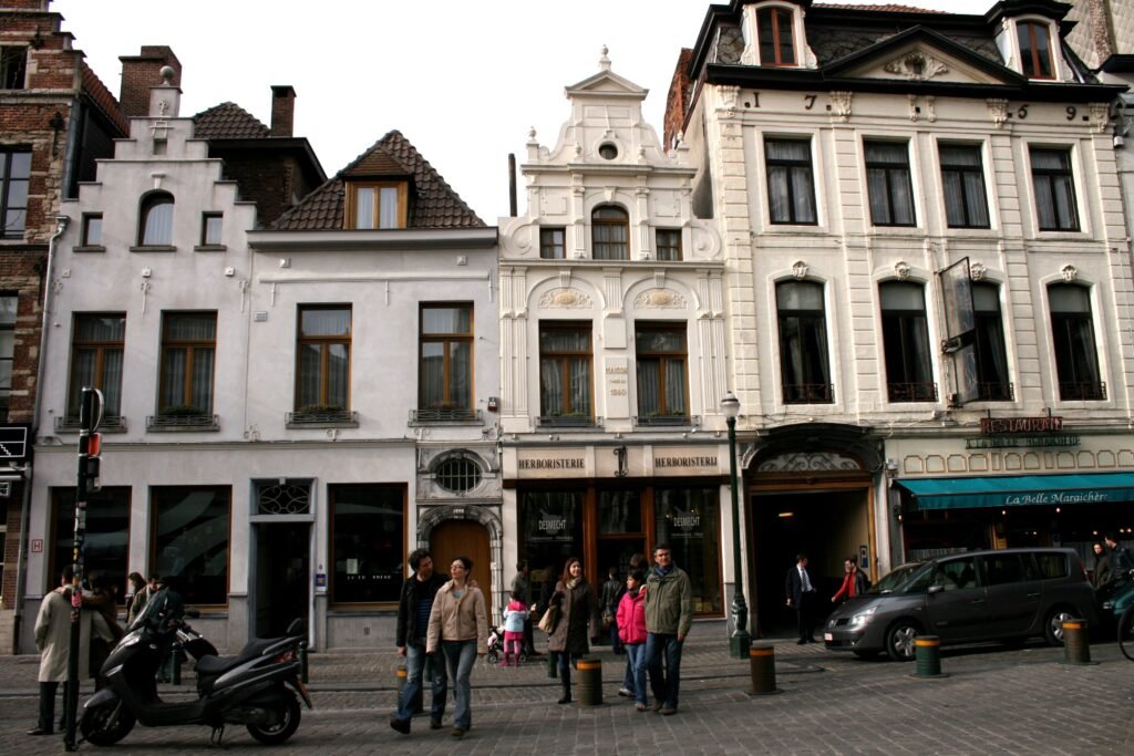
Surface quality and traffic interaction also vary. Pedestrianized streets around Grand Place are comfortable, but historic paving can be uneven and crowded. Beyond the central zone, larger roads and tram corridors introduce more crossing decisions. The European Quarter adds distance, while the Atomium sits completely outside a practical central walk.
When a Car Becomes Useful
A private car adds little to a standard two- or three-day Brussels city break. Rail, metro, tram, and bus service cover the visitor geography more efficiently than parking between central districts. A car becomes more useful for a multi-stop regional trip involving dispersed countryside, smaller towns, or attractions poorly aligned with direct rail and transit.
Practical Tips for Walking Brussels
Group the lower city together rather than climbing to the Royal Quarter repeatedly. Save Mont des Arts, Place Royale, Sablon, and Marolles for the same directional walk. Use metro 1 or 5 for the European Quarter when time matters, and metro 6 for the Atomium. With luggage at Brussels-Midi, take transit instead of treating the center as a mandatory arrival walk.
Seasonal Note
Brussels remains practical for walking throughout the year, but seasonal conditions change comfort. Wet historic paving can slow the pace, while short winter daylight favors tighter outdoor loops with indoor stops. In warmer months, terraces and longer evenings make extended walks easier to pace.
Bottom Line
For a typical two- or three-day visit, Brussels works best as a compact central walking city with selective transit. The historic core, Sainte-Catherine, Dansaert, Sablon, Marolles, and Royal Quarter reward walking, provided you respect the elevation changes. Use STIB/MIVB for the European Quarter when convenient and for the Atomium by design. A car is unnecessary for the standard first visit.