
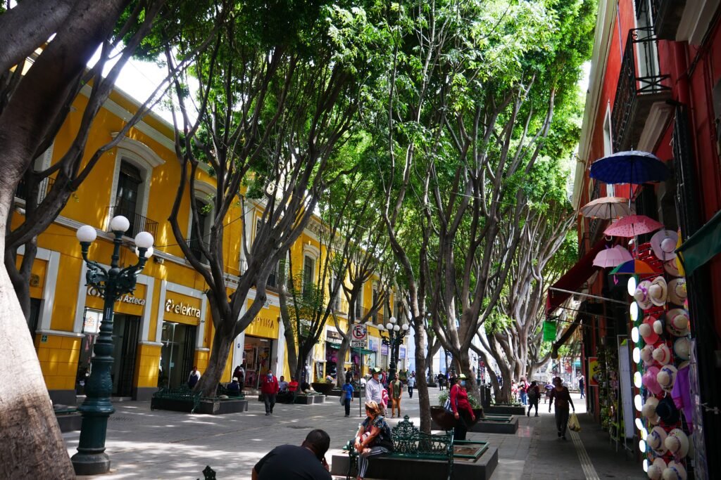
Around the Zócalo, Puebla begins with an exceptionally compact visitor core before the sightseeing geography stretches west and north. Major museums, churches, markets, and pedestrian streets sit unusually close together. The Renaissance grid keeps routes direct, while 5 de Mayo provides a long-established pedestrian spine north of Reforma. Eastward, Los Sapos, El Parián, Barrio del Artista, and Analco extend the walking experience without creating a major gap. Westward, Paseo Bravo and Avenida Juárez begin stretching the day into a longer corridor. Los Fuertes requires more distance and climbing, while Angelópolis belongs to a separate transit-supported cluster. That contrast defines Puebla better than its enormous heritage inventory.
Why Puebla Works So Well on Foot
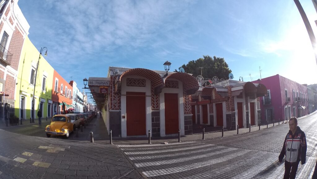
The strongest part of Puebla is not its total heritage count. It is the concentration of first-visit sights around a few central streets. The Cathedral, Biblioteca Palafoxiana and Zócalo sit in one compact cluster. Museo Amparo, Los Sapos, El Parián and Barrio del Artista extend that cluster east and south without forcing a transport hop. North of Reforma, 5 de Mayo is a permanent pedestrian corridor rather than an event-only closure. Calle de los Dulces and the pedestrianized 16 de Septiembre segment add more car-light space.
Where the Compact Core Starts to Stretch
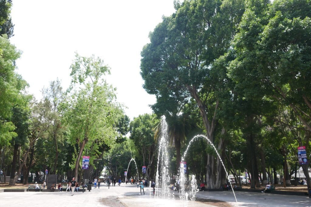
Paseo Bravo remains an easy extension from Centro, but it marks a useful change in scale. Avenida Juárez continues west as a broader urban corridor with longer blocks and more traffic exposure. Los Fuertes is another step outward, with extra distance and climbing from the Zócalo. Museo Internacional del Barroco and the Estrella de Puebla area belong to the Angelópolis side of the metropolitan visitor map. They are worthwhile options, but they should not be treated as part of Puebla’s central pedestrian system.
Best Areas to Stay for Walking
Centro Histórico is the clearest first choice for a walking-focused weekend. The city tourism directory lists many hotels directly on 2 Oriente, 3 Oriente, 5 Poniente, 6 Sur, 7 Oriente and nearby streets. The eastern edge around Los Sapos, El Alto and Analco can also work well if the exact hotel remains close to the core. Avenida Juárez offers another common lodging and dining corridor, but check the precise address before assuming every property marketed as central is a short Zócalo walk.
Practical Puebla Walking Times
Use these as practical planning estimates rather than guaranteed walking times. Zócalo to the Cathedral takes roughly 2–3 minutes; Zócalo to Palafoxiana about 3–4 minutes; and Zócalo to Museo Amparo about 6–8 minutes. Museo Amparo to Los Sapos is roughly 4–6 minutes, while Los Sapos to El Parián is around 6–8 minutes. Zócalo to Paseo Bravo is closer to 14–17 minutes. Los Fuertes is a different proposition: allow roughly 35–45 minutes on foot, with more effort than the central grid suggests.
A 2-Day Walking Route
Day 1: The Historic Core
Walking route
Day 1 — Historic Core: Zócalo to Calle de los Dulces
- Zócalo de Puebla
- Catedral de Puebla
- Biblioteca Palafoxiana
- Museo Amparo
- Callejón y Plazuela de los Sapos
- Mercado El Parián
- Barrio del Artista
- Calle de los Dulces
Start at the Zócalo, then use the Cathedral and Biblioteca Palafoxiana as the first tight cluster. Continue south to Museo Amparo before turning east toward Los Sapos. From there, move north through El Parián and Barrio del Artista. Finish on Calle de los Dulces. This sequence demonstrates Puebla’s real compactness without repeatedly returning to the Zócalo.
Day 2: Pedestrian 5 de Mayo and the Western Extension
Walking route
Day 2 — 5 de Mayo, Paseo Bravo and Avenida Juárez
- Corredor Peatonal 5 de Mayo — 14 Oriente
- Capilla del Rosario — Templo de Santo Domingo
- Paseo Bravo
- Avenida Juárez — eastern section
- Avenida Juárez — 19 Sur
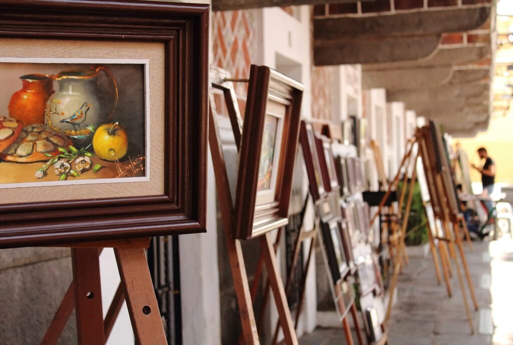
Begin farther north on pedestrian 5 de Mayo and walk south to Santo Domingo and the Capilla del Rosario. Continue west toward Paseo Bravo, then follow the opening stretch of Avenida Juárez. The day deliberately becomes less compact as you leave the historic core. If Los Fuertes is a priority, transfer after the mapped walk instead of forcing the entire approach on foot.
Using RUTA Without Overcomplicating the Weekend
RUTA is most useful as backup for the distances that do not add much sightseeing value. Line 3 connects CAPU with the city network and operates daily from 05:00 to 23:00. Line 2 runs daily from 04:00 to 23:00 and has feeder links toward CAPU and Angelópolis. Line 1 also runs daily until 23:00 and includes Centro feeders. Visitors need a prepaid card; machines sell and recharge cards at stations and terminals on Lines 1, 2 and 3. Cash payments to operators are not accepted.
For Museo Internacional del Barroco, the Estrella de Puebla area or other Angelópolis stops, treat transit as repositioning between separate clusters. Cholula is also a separate excursion rather than an extension of a Puebla walking day. Even when metropolitan transport makes Cholula easy to reach, that does not make Puebla’s central attractions physically closer together.
Arriving in Puebla Without a Car
Frequent coach service links Puebla with Mexico City through terminals including CAPU and Paseo Destino. CAPU sits roughly four kilometers northwest of the Zócalo and connects directly to RUTA Line 3. This makes overland arrival practical, although it still involves a terminal-to-hotel transfer.
Hermanos Serdán International Airport serves a range of domestic and international routes, allowing some travelers to reach Puebla without transferring through Mexico City. Ground transport is still required to reach the historic center. Puebla does not currently have ordinary passenger rail from Mexico City; the proposed Mexico City–Puebla–Veracruz line remains a future project
When a Car Helps
A car is unnecessary for a standard Centro-focused weekend and can add parking friction around the historic center. It becomes more useful for multi-stop regional touring, rural attractions or itineraries combining several dispersed destinations in one day. Cholula does not require a car, but it deserves its own excursion plan. The same principle applies to Angelópolis: use transit or a targeted ride rather than pretending it belongs to the central walking loop.
Walking Limitations and Practical Tips
Historic atmosphere and pedestrian comfort are not the same thing. Vehicle streets still surround the pedestrian corridors, and paving, curb transitions and crossings vary by block. Avenida Juárez feels broader and more traffic-oriented than the intimate streets around the Zócalo. Los Fuertes adds both distance and climbing. Do not rely on the Puebla Teleférico as a transport shortcut without checking its current operating status before visiting Los Fuertes.
Seasonal Walking Context
Puebla remains practical for walking throughout the year, but weather can change the pace of a sightseeing day. Strong sun, summer rain, cooler evenings and occasional ash advisories can make longer outdoor routes less comfortable. Check current conditions before setting out for exposed or extended walks.
Bottom Line
Puebla works best as a compact historic-center walking city with selective transit for the edges. Build one day around the Zócalo and eastern barrios, then use the second to test the longer western corridor. Keep Los Fuertes and Angelópolis in their proper scale, and keep Cholula separate. That approach gives a first-time visitor an efficient weekend without pretending the entire metropolitan area is walkable.