
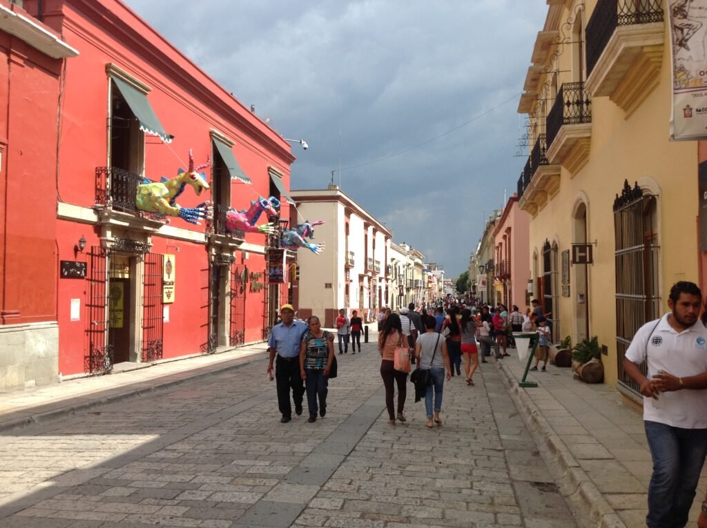
Between the central markets and Santo Domingo, Oaxaca City packs many of its main visitor sights into an unusually compact grid. The Zócalo, Cathedral, two central markets, Macedonio Alcalá, Santo Domingo and major museums sit within one concentrated walking chain. That compactness changes at the edges, where Jalatlaco and Xochimilco become nearby extensions rather than extra blocks of Centro. The street experience also varies sharply between the pedestrian Alcalá spine and mixed-traffic historic streets with narrower sidewalks. Monte Albán and the valley’s famous towns belong to a different geographic layer entirely. They enrich a Oaxaca trip, but they do not make the city center more compact.
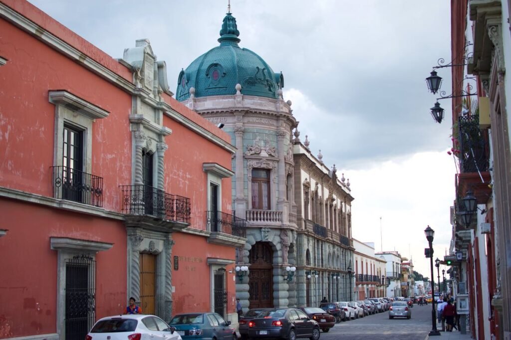
Why Oaxaca City Works So Well on Foot
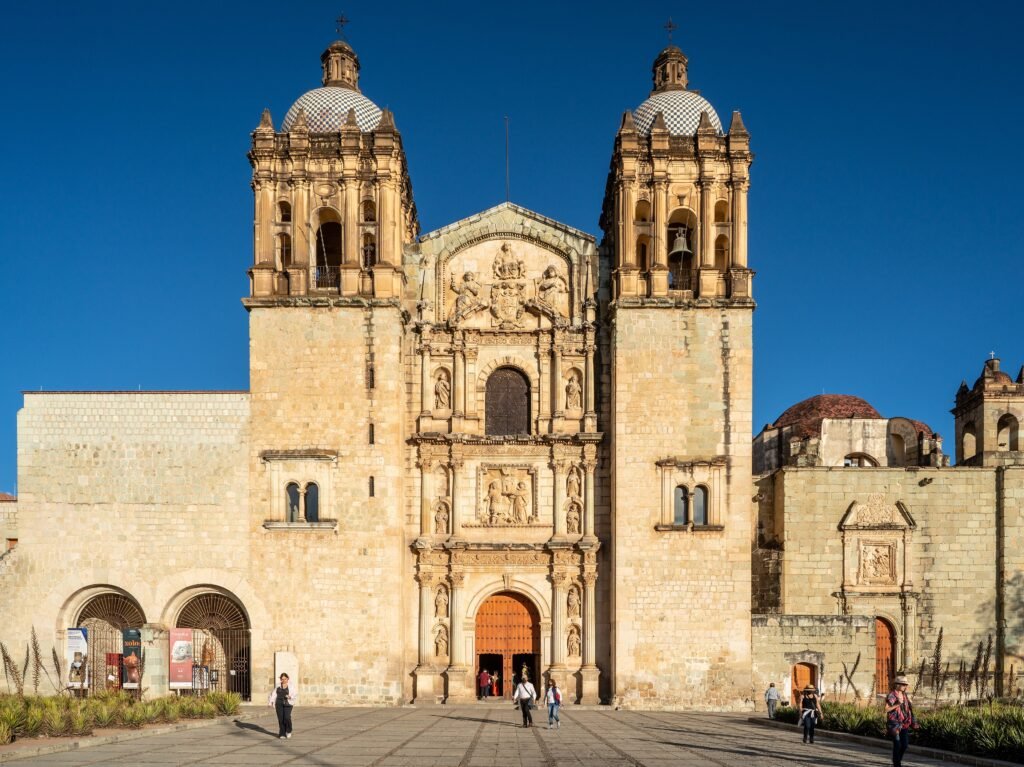
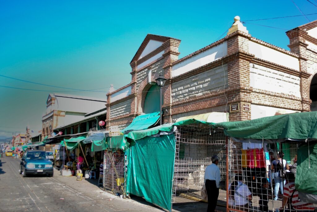
The strongest sightseeing geography runs from the central markets through the Zócalo and north to Santo Domingo. Benito Juárez Market sits only one block from the main square, while 20 de Noviembre is immediately beside it. From there, the Cathedral, Teatro Macedonio Alcalá, museums and Santo Domingo fit into a compact grid. The Museo de las Culturas and Jardín Etnobotánico share the Santo Domingo complex, so several major stops require almost no repositioning once you reach the northern end.
Compact distances do not mean every block has the same pedestrian quality. Macedonio Alcalá is the standout permanent pedestrian corridor. Elsewhere, recent Oaxaca Camina projects have widened sidewalks, added ramps and improved signage, including near the central markets. Those projects still preserve vehicle access on many streets. Narrow sidewalks, stone paving, parked vehicles and busy commercial approaches therefore remain part of the walking experience.
Best Areas to Stay for a Walking Weekend
For the shortest daily walks, stay inside Centro Histórico between the Zócalo and Santo Domingo. This places the markets, museums, restaurants and the Alcalá corridor within easy reach. Jalatlaco works well for travelers who prefer a neighborhood atmosphere and want quick access to the ADO terminal. Xochimilco is also walkable from the northern center, but it is better treated as a quieter extension than the default base for every first-time visitor.
Practical Walking Times
These are practical planning estimates rather than guaranteed walking times. Crowds, paving, temporary closures and exact entrances can change the actual time.
| Walk | Typical time | What to expect |
|---|---|---|
| Zócalo de Oaxaca → Mercado Benito Juárez | about 4–5 minutes | The market is officially described as one block from the Zócalo; expect busy commercial sidewalks. |
| Mercado Benito Juárez → Mercado 20 de Noviembre | about 2–4 minutes | The markets occupy adjoining central blocks and function as one compact visitor cluster. |
| Zócalo de Oaxaca → Templo de Santo Domingo de Guzmán | about 8–10 minutes | Use the central Alcalá axis for the clearest visitor route. |
| Santo Domingo → Templo de San Matías Jalatlaco | about 12–15 minutes | Jalatlaco is close but operates as a distinct eastern neighborhood extension. |
| Santo Domingo → Templo de Santo Tomás Xochimilco | about 15–20 minutes | The walk trends north and gradually rises; surfaces vary by street. |
| ADO Terminal Oaxaca → Santo Domingo | about 10–15 minutes | A practical walk with light luggage from the Jalatlaco terminal area. |
| ADO Terminal Oaxaca → Zócalo de Oaxaca | about 18–22 minutes | Still walkable for many travelers, but luggage and uneven paving can make a short taxi preferable. |
A 2-Day Walking Route
Day 1: Markets, Zócalo and Santo Domingo
Walking route
Day 1: Markets, Zócalo and the Santo Domingo spine
- Mercado 20 de Noviembre
- Mercado Benito Juárez
- Zócalo de Oaxaca (Plaza de la Constitución)
- Catedral Metropolitana de Oaxaca
- Teatro Macedonio Alcalá
- Andador Turístico Macedonio Alcalá
- Museo de las Culturas de Oaxaca
- Templo de Santo Domingo de Guzmán
- Jardín Etnobotánico de Oaxaca
Start at Mercado 20 de Noviembre and Mercado Benito Juárez, then move north once through the civic center. Cross the Zócalo and Cathedral area before reaching Teatro Macedonio Alcalá and the pedestrian Alcalá corridor. Continue to the Museo de las Culturas, Santo Domingo and Jardín Etnobotánico. This sequence makes the compactness visible: the primary historic anchors fit into one progressive south-to-north walk without repeated cross-center mileage.
Day 2: Jalatlaco and Xochimilco
Walking route
Day 2: Jalatlaco, El Llano and Xochimilco
- ADO Terminal Oaxaca
- Templo de San Matías Jalatlaco
- Jardín Jalatlaco
- Paseo Juárez El Llano
- Jardín Conzatti
- Templo de Santo Tomás Xochimilco
- Cruz de Piedra, Xochimilco
- Acueducto de Oaxaca, Xochimilco
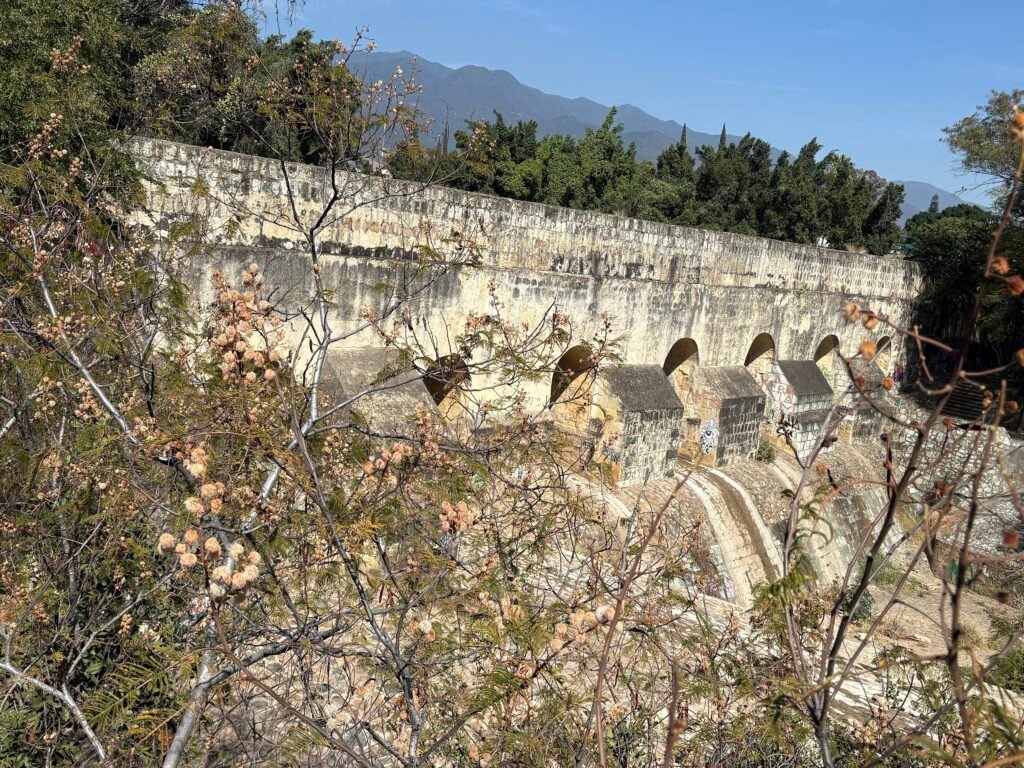
Begin beside the ADO terminal and walk into Jalatlaco before heading toward El Llano. From there, continue north through Jardín Conzatti into Xochimilco, finishing near the old aqueduct. The route deliberately avoids another Zócalo–Santo Domingo loop. It shows where Oaxaca’s easy central walking starts becoming a neighborhood walk, with longer gaps, mixed street conditions and a gentle northward rise.
Using Transit Without Overcomplicating the Weekend
BinniBus provides useful coverage beyond the compact historic center, with official route information available through Oaxaca’s transit tools and state app. For visitors, it is most useful for airport connections, longer urban extensions and energy-saving trips. Centro itself is usually easier to understand on foot.
The official general fare is 8 pesos, and a reloadable NFC BinniBus card is available. The card is less frictionless for a short visitor than ordinary contactless bank-card tapping because it must be obtained and reloaded. Route names, local stop patterns and the bus-based network also require more orientation than a simple metro map.
Arriving in Oaxaca City Without a Car
Oaxaca International Airport has BinniBus service connecting the airport corridor with Módulo Azul. It is useful public transport, but it does not provide a one-seat ride to the Zócalo or Santo Domingo, so reaching Centro requires an onward connection or walk. Authorized airport taxis provide a simpler option for travelers with substantial luggage
Intercity bus arrival is easier. ADO lists its Oaxaca terminal at 5 de Mayo 1016 in Barrio de Jalatlaco. Santo Domingo is roughly a 10–15 minute walk, while the Zócalo is closer to 18–22 minutes for many routes. That central terminal location makes intercity-bus arrival especially convenient for a walking-focused stay.
When a Car Helps
A private car is unnecessary for the standard historic-center weekend. It becomes more useful when you want to combine several valley destinations independently. Monte Albán, Santa María del Tule, Teotitlán del Valle, Mitla and Hierve el Agua are excursions outside the city walking footprint. Tours, buses, colectivos and shuttles can cover many of them, so renting a car remains optional rather than a requirement for seeing Oaxaca City itself.
Walking Limitations and Practical Tips
Use Macedonio Alcalá when it aligns with your route, but do not assume surrounding historic streets are pedestrianized. Recent upgrades have improved several blocks while retaining vehicle lanes. Around the markets, expect denser commerce and more competition for sidewalk space. Uneven stone, curb transitions and narrower sidewalks can matter more than the short distances suggest, especially with luggage, strollers or limited mobility.
Festival crowds, demonstrations and roadblocks can reshape central movement on particular days. Guelaguetza and Día de Muertos periods can also bring exceptional pedestrian volumes, so check local updates before a time-sensitive airport or bus-terminal transfer
Seasonal Walking Context
Oaxaca City remains compact on foot throughout the year, but seasonal conditions change comfort. Strong sun and heat can make midday walks feel longer, while rainy-season storms can leave stone surfaces wet or temporarily flooded. Shade around plazas, trees and covered markets helps during hotter periods.
Bottom Line
The best Oaxaca City weekend is built around one exceptionally concentrated historic core, then extended selectively into Jalatlaco and Xochimilco. Walk the central monuments and markets rather than riding between them. Use BinniBus for longer urban gaps and treat the valley’s major archaeological and village destinations as separate excursions. That keeps the city experience compact without pretending every street or regional attraction belongs to the same pedestrian system.