
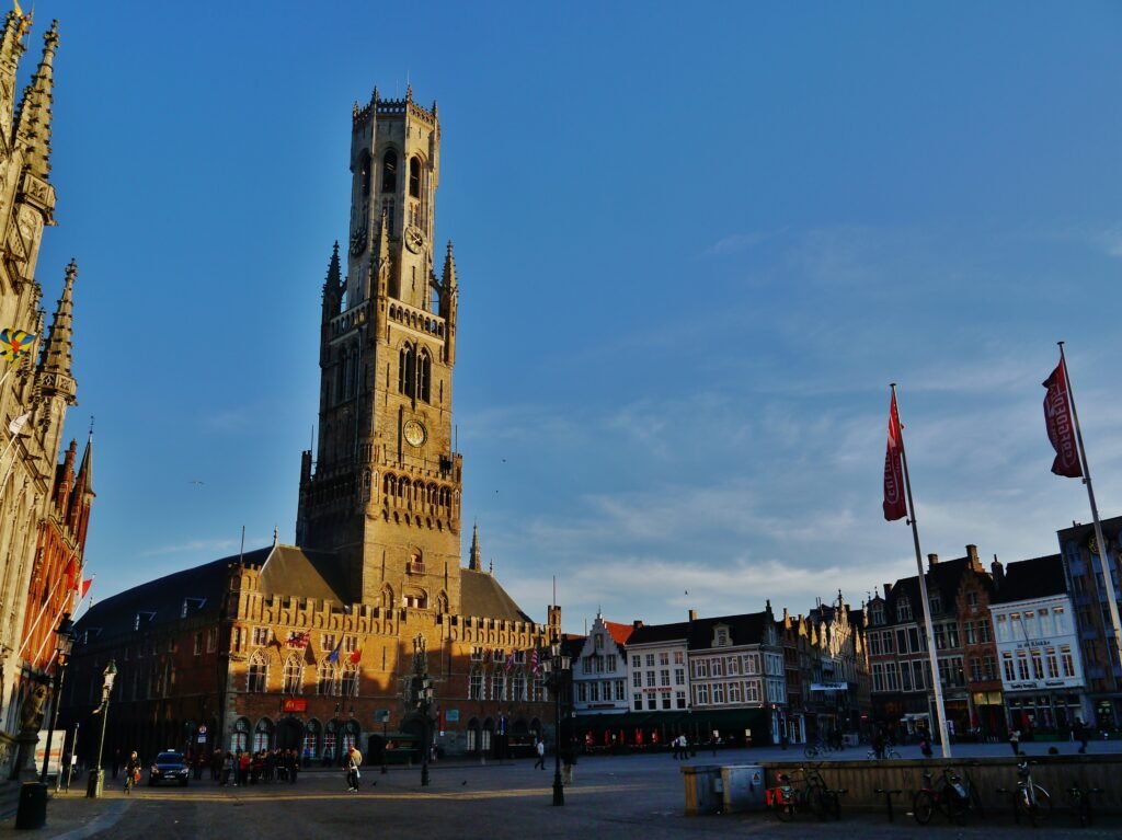
Inside the old ramparts, a remarkable share of Bruges’ visitor experience fits into the compact medieval core. Markt and Burg sit minutes from Rozenhoedkaai, while the museum quarter extends the same walking chain southward. The Begijnhof and Minnewater continue that corridor toward Brugge Station without creating a separate sightseeing district. Canals interrupt some straight lines, so nearby places are not always connected by the shortest-looking route. Cobbles, narrow streets and crowded central approaches also make walking slower than distance alone suggests. Beyond the busiest core, Jan van Eyckplein and Saint Anne’s Quarter offer quieter walking without requiring a cross-city transfer.
Why Bruges Works So Well on Foot
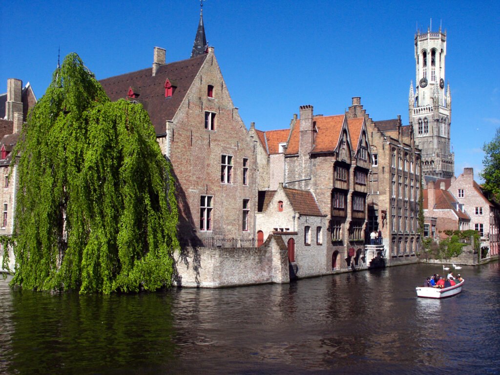
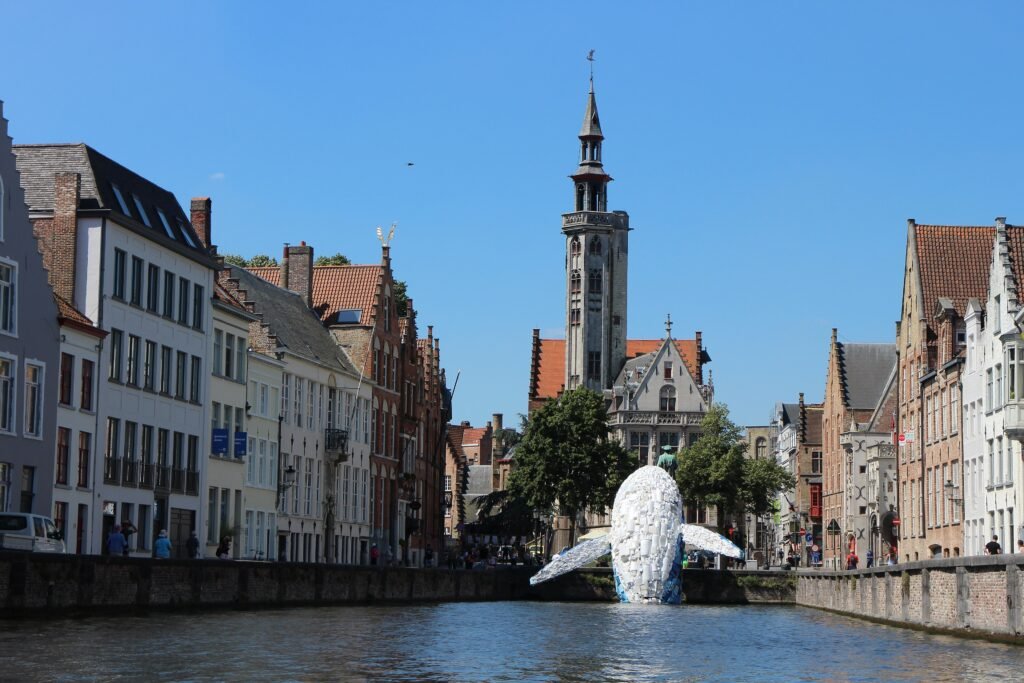
Bruges’ visitor geography is unusually concentrated. Markt and Burg are adjacent, Rozenhoedkaai is only a few minutes away, and the Church of Our Lady and Saint John’s Hospital continue the same southbound sightseeing chain. The Begijnhof and Minnewater sit beyond that museum cluster rather than forming a detached district. In the opposite direction, Jan van Eyckplein leads naturally into Saint Anne’s Quarter and the eastern ramparts.
Compactness should not be confused with frictionless walking. Visit Bruges’ accessibility guidance documents many cobbled surfaces, occasional uneven paving, steep bridge approaches and selected curbs. The historic center is also a bicycle zone, while horse-drawn carriages use cobbled streets and ancient bridges. Around Markt, Burg and Katelijnestraat, busy pedestrian flows can narrow effective walking space. Canals add another constraint because the next bridge may not align with the straightest-looking route.
Best Areas to Stay for a Walking Weekend
Markt and Burg are the most efficient bases for pure sightseeing. The Belfry, Basilica of the Holy Blood and Rozenhoedkaai are immediately around you, while the museum quarter is a short walk south. The trade-off is intensity: these are also the busiest visitor streets and squares.
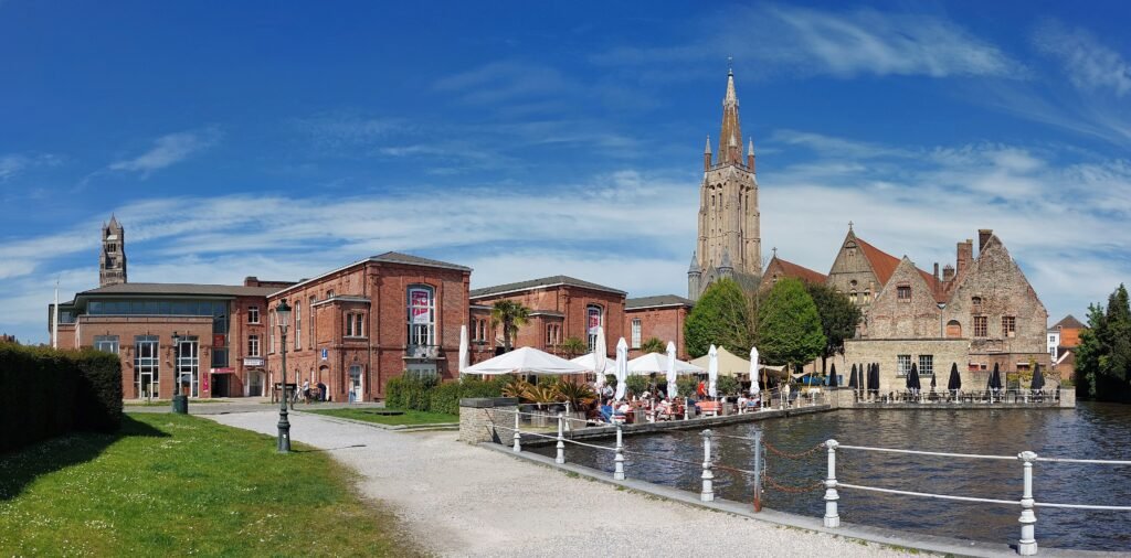
The museum quarter around Dijver and Mariastraat offers a strong balance of location and atmosphere. Saint John’s Hospital and the Church of Our Lady sit here, with Rozenhoedkaai, Burg, Begijnhof and Minnewater all close enough to reach without transit.
For easier rail arrival, consider ‘t Zand and the Sint-Salvator side. Visit Bruges places the Concertgebouw about ten minutes from the station, while Markt is about ten minutes beyond ‘t Zand. The square is also one of the city’s main bus hubs. Saint Anne’s and Saint Giles’ suit travelers who prefer quieter streets, though they sit farther from the station.
Realistic Walking Times
The station relationship is close, but it is not a zero-transfer arrival. Visit Bruges gives about 20 minutes on foot from Brugge Station to Markt. ‘t Zand and the Concertgebouw are about ten minutes from the station, and ‘t Zand is about ten minutes from Markt. Those distances are comfortable for many travelers, but a frequent bus can be worthwhile with luggage.
Inside the historic core, the walking scale shrinks quickly. Markt to Burg is roughly two or three minutes, and Burg to Rozenhoedkaai about three to five. Rozenhoedkaai to the Church of Our Lady or Saint John’s Hospital is around seven to ten minutes. These are representative walking estimates, and cobbles, crowds or a canal crossing can slow the same distance.
A 2-Day Walking Route
Day 1: Station, Minnewater and the Medieval Core
Walking route
Day 1: Station, Minnewater and the medieval core
- Brugge Station
- Minnewaterpark
- Begijnhof
- Museum Sint-Janshospitaal
- O.L.V.-kerk Museum
- Rozenhoedkaai
- Burg
- Basilica of the Holy Blood
- Belfry of Bruges
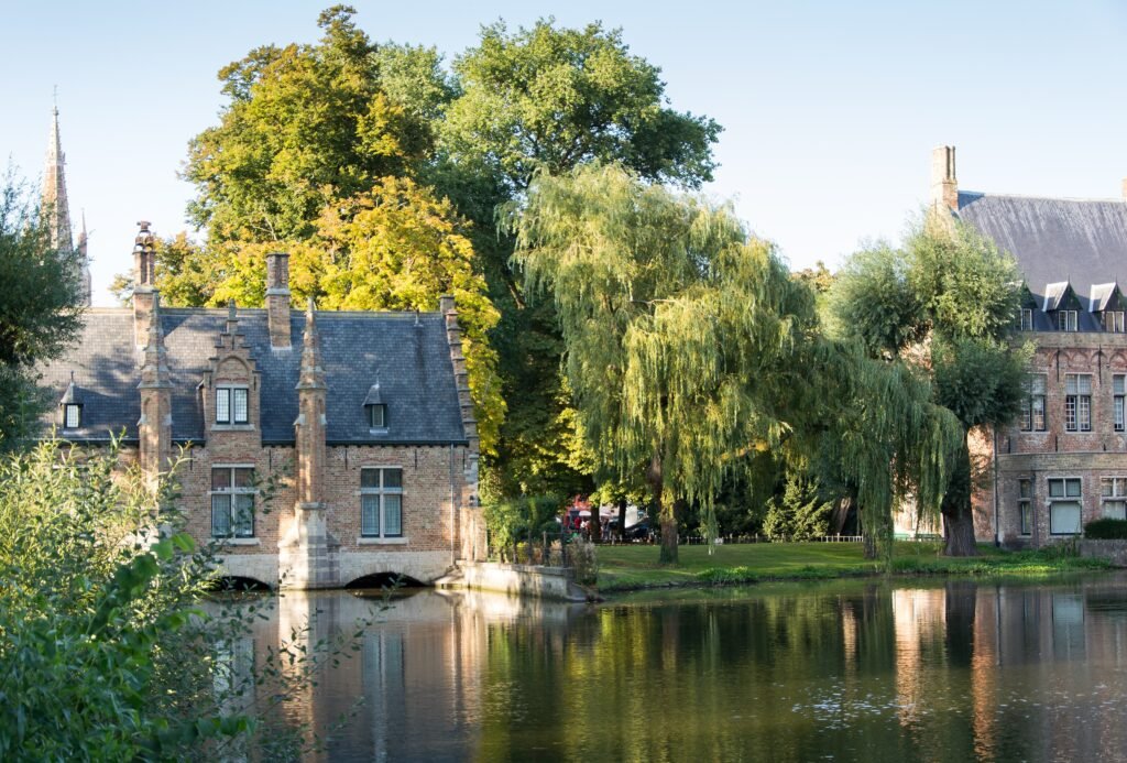
Begin at Brugge Station and walk through Minnewaterpark before entering the Begijnhof. Continue north through Saint John’s Hospital and the Church of Our Lady, then follow the historic streets toward Rozenhoedkaai. Burg places City Hall and the Basilica of the Holy Blood together, and Markt provides a natural finish under the Belfry. This south-to-north sequence turns the station approach into sightseeing rather than wasted mileage.
Travelers who need smoother surfaces should treat the Begijnhof approach deliberately. The official accessibility guide notes a steep main bridge with round cobbles and describes a flatter alternative entrance near Minnewater. That local adjustment preserves the route without pretending every historic surface is equally easy.
Day 2: Hanseatic Square and Quieter Eastern Bruges
Walking route
Day 2: Hanseatic square, Saint Anne's and the eastern ramparts
- Markt
- Jan van Eyckplein
- Sint-Annakerk
- Volkskundemuseum
- Adornesdomein
- Sint-Janshuismolen
- Gentpoort
- Koningin Astridpark
Start at Markt, then move north to Jan van Eyckplein before leaving the busiest center behind. Continue through Saint Anne’s Quarter for Sint-Annakerk, the Folk Museum and Adornes estate. From there, reach Sint-Janshuis Mill on the eastern ramparts and follow the greener edge south toward Gentpoort. Finish at Koningin Astridpark, close enough to the central streets for dinner without retracing the entire route.
Where De Lijn Helps
Bruges does not need transit to make its central attractions feel close. That is exactly why buses work best as a supplement rather than the backbone of sightseeing. Visit Bruges states that buses run between the station and center every five minutes. Lines 1 and 2 serve ‘t Zand, Sint-Salvatorskathedraal, O.L.V. Kerk and Dijver; line 2 also reaches Jan van Eyckplein.
Occasional use is simple. A standard De Lijn ride costs €3, contactless payment works on board, and the ticket permits transfers for 60 minutes. Evening coverage remains practical until about 11 p.m. On Friday and Saturday nights, several lines including 1 and 2 continue until roughly 2:30 a.m. Check the live planner for works and event diversions rather than treating temporary routing as permanent.
Arriving in Bruges Without a Car
Brugge Station is a strong rail gateway without being inside the tight medieval center. Markt is about a 20-minute walk, while ‘t Zand is about ten minutes away. The station also has luggage lockers, taxis, accessible platforms and connecting buses. For travelers who can handle their luggage comfortably, the Minnewater route makes the walk into town part of the visit. Otherwise, lines 1 and 2 remove most of the onward effort.
Belgian rail makes Bruges easy to reach from Brussels. SNCB lists direct Brussels–Bruges journeys averaging about 1 hour 4 minutes. Visit Bruges also notes three departures per hour from Brussels-South. This density is especially useful for travelers arriving internationally at Brussels-Midi and continuing by domestic train.
Brussels Airport is more distant but still works well without a car. The airport station sits directly beneath the terminal, and Brussels Airport lists a no-transfer train to Bruges taking about 1 hour 25 minutes. That direct connection is useful, although the journey is long enough that travelers with luggage may prefer to minimize additional walking after arrival.
Walking Limitations and Practical Tips
Cobbles are the most persistent walking limitation. The official accessibility route deliberately avoids the roughest round cobbles where possible, but uneven sections remain part of the historic environment. Shoes with stable soles matter more here than elevation. Travelers using wheelchairs, strollers or rolling luggage should consult the accessibility route before assuming the shortest path is the easiest one.
Canals are the second major walking constraint. Bruges has many bridges, yet each waterway still funnels pedestrians toward specific crossings. A sight can be visually close across the water while the comfortable walking route bends to the next bridge. Plan by street and bridge sequence rather than relying only on straight-line map distance.
Shared movement deserves attention in the busiest streets. Most of the historic center is a bicycle zone, and horse-drawn carriages remain part of the central streetscape. Market Square, Burg and Katelijnestraat can also concentrate large pedestrian flows. Keep to predictable lines at crossings and avoid stopping in bike movement space while checking directions.
When a Car Becomes Useful
A private car adds little to a standard two- or three-day Bruges visit. Visit Bruges discourages motor traffic and above-ground parking in the center, while many streets are low-traffic or car-free at certain times. The station, buses and compact visitor core already cover the usual city-break needs.
A car becomes more useful when Bruges is one stop on a wider road trip through dispersed countryside or several rural destinations. It is not needed for straightforward Belgian city combinations such as Brussels or Ghent, where frequent rail usually provides the cleaner connection.
Seasonal Walking Note
Bruges remains highly practical for walking throughout the year, but seasonal conditions change comfort and crowding. Wet weather can make cobbles and bridge approaches more slippery, while peak visitor periods increase congestion around Markt, Burg and Rozenhoedkaai. Short winter daylight also reduces the time available for longer outdoor walks.
Bottom Line
For a short city break, Bruges works best when walking is the default and buses are an arrival or energy-saving tool. The first-visit sights are genuinely compact, and the station is close enough to join the city without a car. The important caveat is quality rather than distance: cobbles, shared streets, bridges and crowds make some very short walks slower or less accessible than the map suggests.