
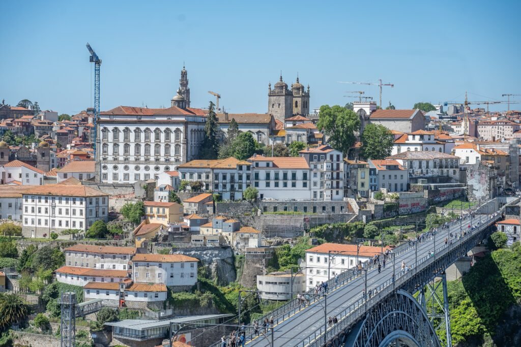
Porto compresses an extraordinary amount of first-time sightseeing into a small wedge above the Douro. Bolhão, Aliados, Clérigos, São Bento, the Cathedral, and Ribeira sit close enough to link naturally on foot. The map looks easier than the walk, because that compact core is stacked across sharply different elevations. Upper-center streets can feel straightforward, then a short descent suddenly drops toward Ribeira’s lanes and the river. Across Dom Luís I Bridge, visitor-focused Gaia continues the sightseeing geography without becoming part of Porto itself. This compactness is genuine, but comfortable route planning depends on treating elevation as seriously as distance.
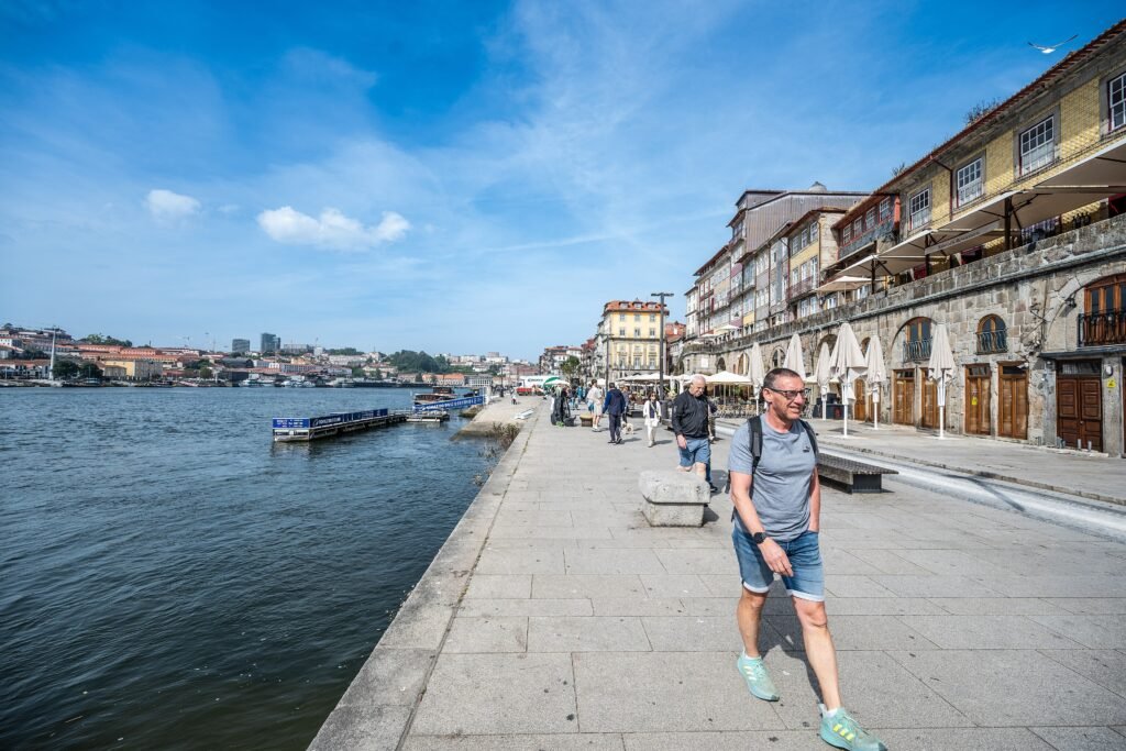
Why Porto’s Core Feels So Compact
Porto’s strongest visitor chain runs from Bolhão and Santa Catarina through Aliados, São Bento, Clérigos, and down toward Ribeira. Rua das Flores and Mouzinho da Silveira provide useful links through the historic center. The Cathedral sits close to São Bento and the river, but at a much higher level. Across the Douro, Dom Luís I Bridge keeps Jardim do Morro and the Gaia waterfront in practical walking range. Crystal Palace is a reasonable western extension; Boavista, Serralves, and Foz are better treated as separate trips.
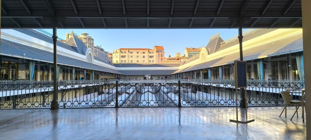
Best Areas to Stay for Walking
Baixa and Aliados are the easiest all-round bases for a first visit. They sit above Ribeira while staying close to Bolhão, São Bento, Clérigos, and frequent transit. Bolhão and Santa Catarina work especially well if airport Metro access and upper-center walking matter most. Clérigos and Vitória are even closer to historic sights, though steep side streets can complicate luggage. Ribeira is unbeatable for the riverfront and Gaia, but every upper-center return asks more from your legs. Cedofeita offers a practical higher-level alternative beside the central core.
Practical Walking Times
| Walk | Typical time | What the map does not show |
|---|---|---|
| Mercado do Bolhão → Avenida dos Aliados | 8–10 min | Mostly upper-center walking with modest grades. |
| Aliados → Clérigos / Livraria Lello | 8–12 min | A noticeable climb despite the short distance. |
| Clérigos → São Bento | 8–10 min | Compact, but crowds and stone surfaces can slow the approach. |
| São Bento → Porto Cathedral | 7–10 min | Short uphill connection. |
| Porto Cathedral → Praça da Ribeira | 10–15 min | Strong descent; some route choices use steep lanes or stairs. |
| Ribeira → Palácio da Bolsa / São Francisco | 5–8 min | Mostly river-level walking. |
| Porto Cathedral → Jardim do Morro | 10–15 min | Use the upper bridge deck for the high-level crossing. |
| Cais de Gaia → Praça da Ribeira | 10–15 min | Use the lower deck to stay near river level. |
| Clérigos → Palácio de Cristal Gardens | 18–25 min | Longer western extension with rolling grades. |
These are practical planning estimates rather than guaranteed walking times. Crowds, crossings, route choice, wet paving, and personal pace can change the real time.
A 2-Day Walking Route
Day 1 — Upper Porto to Ribeira
Walking route
Day 1 — Bolhão and the upper center down to Ribeira
- Mercado do Bolhão
- Capela das Almas
- Avenida dos Aliados
- Praça da Liberdade
- Livraria Lello
- Torre dos Clérigos
- São Bento Railway Station
- Porto Cathedral
- Praça da Ribeira
- Palácio da Bolsa
- Igreja de São Francisco
Start at Mercado do Bolhão, then use Santa Catarina as the upper-center introduction. Continue through Aliados and Praça da Liberdade before turning toward Livraria Lello and Clérigos. From there, move to São Bento and climb the short distance to Porto Cathedral. Make the day’s major descent only once, continuing toward Ribeira. Finish near Palácio da Bolsa and Igreja de São Francisco, where the route stays close to river level. Rua das Flores is an excellent alternative connector between the upper historic center and the lower attractions.
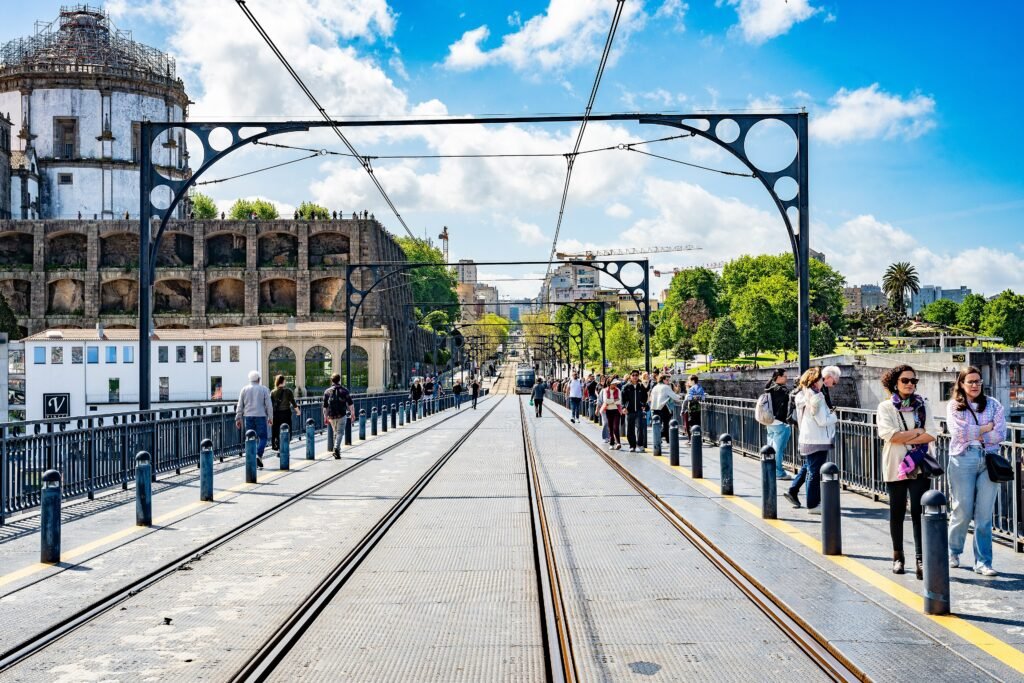
Day 2 — Dom Luís I Bridge and Gaia
Walking route
Day 2 — High bridge to Gaia, then river level
- Porto Cathedral
- Ponte de Dom Luís I
- Jardim do Morro
- Mosteiro da Serra do Pilar
- Sandeman Porto Cellars
- Cais de Gaia
- Praça da Ribeira
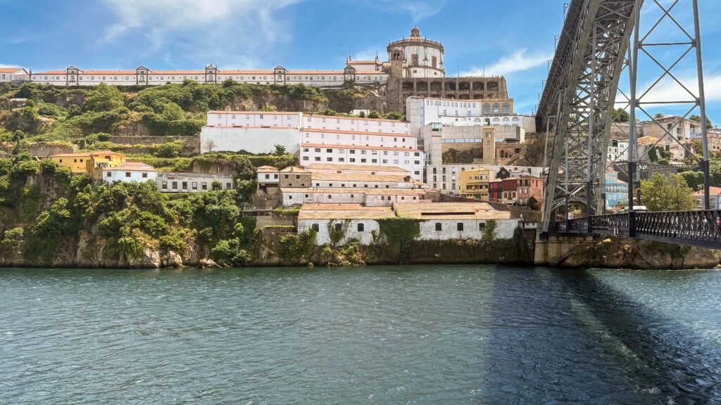
Begin again at Cathedral level so the outbound crossing uses Dom Luís I Bridge’s upper deck. Jardim do Morro arrives almost immediately on the Gaia side. Add Serra do Pilar while you are still high, then descend once toward the Port wine lodges. Follow the Gaia riverfront westward before returning across the bridge’s lower deck. That choice finishes naturally at Ribeira and avoids climbing back to the upper deck simply to cross the river.
When Transit Helps
Metro is most valuable when the trip extends beyond the historic walking core. Use it for the airport, Campanhã, Casa da Música, and upper Gaia connections. STCP buses are more useful for Serralves and Foz, where walking from the center wastes limited weekend time. Andante covers Metro, buses, and participating rail services, with several ticket products available for visitors. Contactless payment is available on parts of the network, so check current Andante rules before relying on it for every journey.
Porto’s heritage trams can be enjoyable, but they are not the backbone of a short-stay transport plan. The Guindais funicular, Lada elevator, and other mechanized links can reduce specific climbs when operating, but service can change because of maintenance or works. Check current STCP and municipal information before relying on them.
Arriving Without a Car
From Porto Airport: Metro Line E provides a straightforward public-transport connection toward central Porto, with Trindade serving as a useful interchange for many stays. Airport journeys use the Andante fare system, so check the current zone and ticket requirements before travel.
By long-distance train: Campanhã is the main station for Alfa Pendular and Intercidades services. São Bento sits inside the historic center but does not receive every intercity train. Many long-distance tickets to Campanhã include the short urban-train continuation to São Bento, making the final transfer straightforward for central stays.
When a Car Helps
A car adds little to the standard Porto weekend and creates parking and access complications in the historic center. It becomes more useful for regional travel that falls outside this guide’s city geography. Braga, Guimarães, Aveiro, and the Douro Valley are separate excursions, even when trains or tours make them easy to reach. Their accessibility does not change how compact Porto itself is.
Walking Limitations and Practical Tips
Plan by elevation as well as distance. A route that repeatedly switches between Ribeira and upper Baixa wastes more energy than a longer same-level walk. Use the upper bridge deck when moving between Cathedral level and Jardim do Morro. Use the lower deck when both sides of your route are already at the waterfront. On steep historic streets, polished stone, cobbles, stairs, and tram tracks deserve attention underfoot.
Crystal Palace Gardens can fit into a central weekend, but they are a deliberate western extension. Casa da Música, Serralves, and Foz belong to separate outer clusters. Reach those areas by transit first, then walk locally rather than forcing low-value cross-city mileage.
Seasonal Walking Context
Rain can make Porto’s polished stone and steep descents feel more demanding. On hotter sunny days, bridge crossings and climbs can feel exposed. These conditions affect walking comfort rather than the distances between Porto’s main sights.
Bottom Line
Porto works best when you trust its compact distances but respect its vertical structure. Most essential first-time sights fit into two connected walking days, including the visitor-focused Gaia riverfront. Transit becomes valuable for the airport and western outer clusters, while most historic-center sightseeing remains walkable. Sequence the climbs carefully, and a private car offers little advantage for the core weekend.