
Polish city breaks that all work well without a car can feel surprisingly different once the walking starts. Kraków keeps its main first-time sights inside one unusually continuous historic chain. Gdańsk compresses much of the weekend around Main Town and the Motława waterfront. Wrocław spreads farther, yet frequent bridges keep its islands and central districts connected. Poznań gives visitors a clear station-to-Old-Town axis before sightseeing jumps east. Warsaw needs transit much sooner because its major districts cover a far larger map. Łódź is different again: Piotrkowska makes navigation simple, but its length turns straight walking into substantial daily mileage.
Six Polish City Breaks, Side by Side
The scores are close, but the walking experience behind them varies considerably. The table highlights the main advantage and limitation a first-time visitor is most likely to notice.
| Rank | City | Overall score | Strongest advantage | Main limitation |
|---|---|---|---|---|
| 1 | Kraków | 91/100 | The most continuous station–Old Town–Wawel–Kazimierz walking chain | Historic paving, tram interfaces and the localized Wawel climb add effort |
| 2 | Gdańsk | 89/100 | Exceptionally compact Main Town and waterfront walking | Shipyard sights stretch the core, while Westerplatte, Oliwa and the coast require a separate outing |
| 2 | Wrocław | 89/100 | Frequent bridges keep a broad central river-and-island network coherent | Centennial Hall, the Zoo and Japanese Garden sit in a genuine eastern cluster |
| 4 | Poznań | 87/100 | A clear station-to-Święty Marcin-to-Stary Rynek walking axis | Ostrów Tumski and Śródka form a separate eastern heritage cluster |
| 4 | Warsaw | 87/100 | Excellent transit and arrival support a strong Royal Route walking spine | Major sights spread much farther into Łazienki, Wola, Praga and Wilanów |
| 6 | Łódź | 85/100 | Flat, direct and unusually easy-to-read Piotrkowska-centered geography | The long north–south spine accumulates distance even when the route stays simple |
Gdańsk and Wrocław are tied at 89/100, while Poznań and Warsaw are tied at 87/100. Their shared positions explain why the displayed ranking moves from second to fourth and then from fourth to sixth.
Why Kraków Keeps the Weekend in One Walking Chain
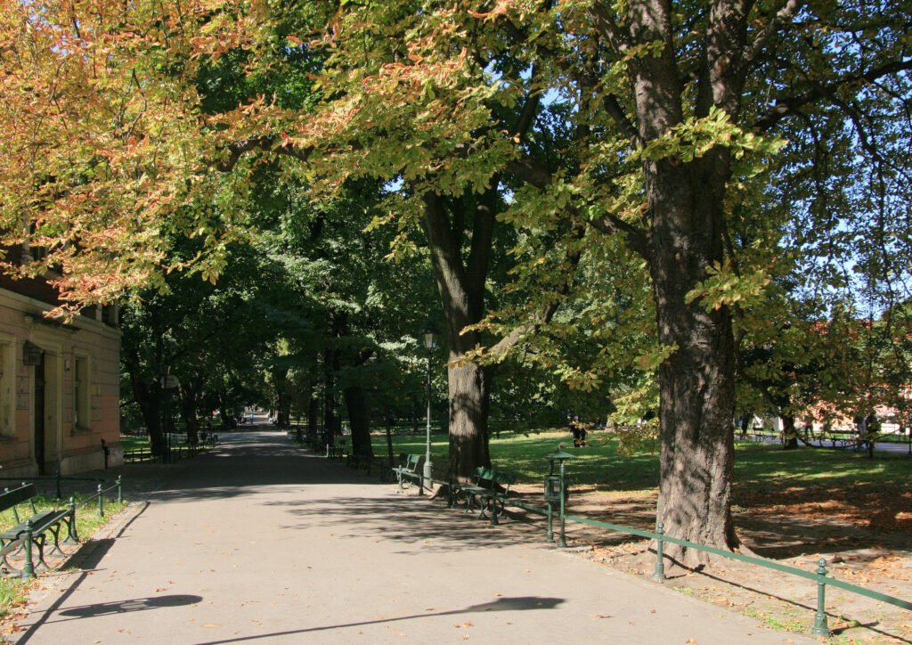
Kraków’s advantage appears almost immediately after arrival. Kraków Główny sits beside the northern edge of Planty, making Florian Gate and the Old Town a natural first move. Rynek Główny then leads south toward Wawel without forcing a cross-city transfer. Kazimierz continues that sequence rather than behaving like a detached second center. For a first visit, few Polish city weekends keep so many major districts inside one continuous pedestrian progression.
The walk is not frictionless. Historic paving can slow the Old Town, tram interfaces interrupt some approaches, and Wawel adds a short climb. That elevation adds some effort without making the main sights substantially farther apart. Podgórze and Zabłocie work as reasonable extensions across the Vistula, especially when energy is good. Nowa Huta and the outer mounds are different: they are better treated as separate transit-supported extensions.
Arrival reinforces the same pattern. Direct airport rail reaches Kraków Główny, while national trains also deliver visitors beside the historic center. A traveler can therefore move from airport or intercity train to a walking-first weekend with very little repositioning. See the full Kraków walking guide for the detailed two-day geography.
Gdańsk or Wrocław? Same Score, Different Weekend
The rank-2 tie is most useful when the two cities are placed directly beside each other. Gdańsk feels tighter. Wrocław covers a slightly broader central map but connects that map unusually well. Both make river geography work for pedestrians, yet they do it through different urban forms.
Gdańsk: Main Town, Motława and a very compact waterfront core
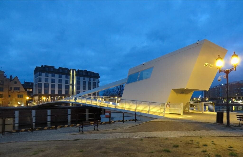
Gdańsk Główny feeds quickly into Golden Gate, Długa and Długi Targ. St. Mary’s Church, Mariacka and the Motława waterfront sit only short detours from that central line. Permanent crossings keep Granary Island tied into the same walking experience, so the river does not split the center into awkward halves. For visitors who like to spend hours walking without checking a transit map, this is one of Poland’s strongest compact city-break patterns.
Compactness begins to weaken north toward the shipyard and European Solidarity Centre. Westerplatte, Oliwa and the coastal districts are separate outings, regardless of how convenient public transport makes them. Sopot and Gdynia are regional neighbors, not extensions of Gdańsk’s city walking core. The Gdańsk walkability guide maps where that central waterfront chain ends.
Wrocław: a larger center held together by bridges
Wrocław reaches the same 89/100 with a different spatial pattern. Rynek, the university quarter, Wyspa Piasek and Ostrów Tumski do not sit inside one tiny square of streets. Instead, frequent bridges keep the central Odra channels from becoming serious pedestrian breaks. Panorama Racławicka and the National Museum also fit naturally into the same broader central walking day.
The important break comes farther east. Centennial Hall, the Japanese Garden and Wrocław Zoo form a separate cluster where trams save time. That transit connection makes the eastern cluster easy to include without requiring a long walk from Rynek. Historic paving, bridge approaches and tram crossings create some localized friction, but the central routes stay largely flat and direct. Use the full Wrocław car-free guide for walking times and cluster planning.
Poznań or Warsaw? The Same Score at Completely Different Scales
Poznań and Warsaw reach the same score through very different city layouts. Poznań gives visitors a clear central axis followed by one main eastern extension, while Warsaw spreads major sights across several districts and brings public transport into the itinerary much earlier.
Poznań: walk from the station into the city, then decide when to jump east
Poznań Główny, the Imperial Castle area, Święty Marcin, Plac Wolności and Stary Rynek create a readable west-to-east progression. The rebuilt central corridor now provides a more comfortable connection between Święty Marcin, Plac Wolności and the Old Town. Once inside the Old Town, the main sights stay close enough for easy wandering.
Ostrów Tumski and Śródka change the shape of the day. Bridges preserve a good pedestrian connection, but the eastern heritage cluster is far enough away to feel like a second chapter. Malta Lake and other outer areas stretch the geography farther. Travelers who like a clear station-to-center walk can use the detailed Poznań guide for the full sequence.
Warsaw: excellent walking districts connected by excellent transit
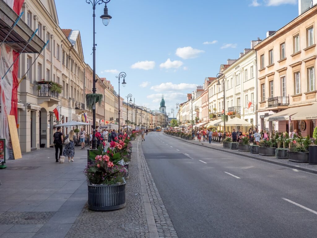
Warsaw’s Royal Route provides one of the clearest long urban walks in the comparison. Nowy Świat, Krakowskie Przedmieście, Castle Square and Old Town form a strong sightseeing spine with straightforward wayfinding. The challenge is not that central Warsaw is unpleasant to walk. The challenge is that a short visit quickly expands beyond that spine.
Łazienki, outer Wola, Praga and Wilanów pull the itinerary across a much larger city. Metro, trams and buses make those jumps practical, which is why Warsaw remains an excellent car-free weekend. They do not make the districts geographically closer. Broad roads, some underpass or crossing friction and escarpment changes also make the pedestrian experience more variable than in the compact leaders.
Warsaw also benefits from straightforward car-free arrival. Chopin Airport has direct public transport into the central city, while Warszawa Centralna places rail travelers close to the main central districts. This makes the broader sightseeing map easier to manage without a car. See the Warsaw walking and transit guide for the practical cluster strategy.
Łódź: When a Straight Line Still Adds Up
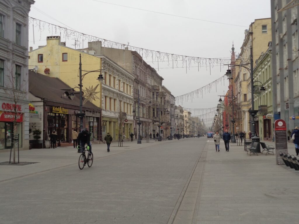
Łódź is the comparison’s best reminder that direct and compact are not the same thing. Piotrkowska gives the city an unusually clear north–south organizing line, with Plac Wolności at the northern end and major central stops extending far south. Łódź Fabryczna and EC1 sit close to the eastern side of this core, while Manufaktura adds another major northern anchor.
The problem is simple distance. Piotrkowska runs for roughly 4.2 kilometers, so a day can become long without ever becoming confusing. Księży Młyn forms a distinct eastern extension, while the Orientarium and Zoo belong farther outside the central walking pattern. Trams are therefore useful for avoiding repetitive north–south mileage rather than rescuing difficult terrain.
Łódź’s flat terrain and clear north–south orientation are genuine strengths. Its lower position in this comparison mainly reflects the longer distances between major visitor areas. Trams help reduce repeated mileage along Piotrkowska and make outer areas easier to include.. See the Łódź car-free weekend guide for the corridor and cluster strategy.
Rivers and Bridges Change the Walk More Than the Map Suggests
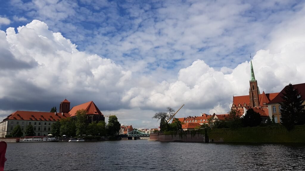
A river can divide a visitor map, or it can simply become part of the walking route. Gdańsk and Wrocław show why the crossing pattern matters more than the water itself. Granary Island stays tied to central Gdańsk through nearby pedestrian crossings. Wrocław’s islands work because bridges appear where the main visitor routes actually need them.
Kraków’s Vistula marks a clearer transition. Wawel and Kazimierz remain inside the primary walking chain, while Podgórze and Zabłocie feel like extensions across the river. Warsaw’s Vistula separates central Śródmieście from Praga more strongly because the city’s visitor geography is already much broader. In each case, the useful question is where a traveler can cross naturally, not whether a blue line appears on the map.
When Transit Improves the Weekend
Transit plays a different role in each city. Kraków and Gdańsk can keep a large share of a first weekend on foot before transit becomes necessary. Wrocław’s trams are most valuable for the eastern Centennial Hall and Zoo cluster. Poznań uses transit mainly after the central spine and eastern heritage walk stop being convenient as one continuous outing.
Warsaw is the clear big-city case. A visitor can walk the Royal Route for hours, yet trying to add Łazienki, Wola, Praga and Wilanów entirely on foot wastes time. Metro, trams and buses turn those separated districts into a realistic short trip. Łódź uses transit differently again: trams reduce repeated mileage along a long, flat corridor.
Public transport is most useful when it connects genuinely separate visitor areas. Westerplatte remains an outer Gdańsk excursion, Centennial Hall forms a separate eastern Wrocław cluster, and Wilanów stays well outside central Warsaw even though each is straightforward to reach without a car.
Starting the Weekend Without a Car
Kraków and Warsaw offer particularly straightforward car-free arrivals. Kraków Airport has direct rail toward Kraków Główny beside the historic center, while Warsaw Chopin Airport connects by public transport with the central city. Both main railway stations also place arriving visitors close to major sightseeing areas.
Gdańsk also works well without a car, although airport rail journeys toward the center may require a change. Wrocław’s main railway station is centrally located, while its airport relies on surface public transport. Poznań combines a central rail gateway with direct public transport from the airport.
Łódź Fabryczna is especially convenient once you reach the city, with EC1 and Piotrkowska close by. International arrivals can require more planning depending on the available flight network. For trips combining several Polish cities, rail is often a practical way to move between these six destinations without renting a car.
Which Polish City Fits Your Walking Style?
The cities suit different kinds of walking weekends, so this table focuses on travel style rather than overall rank.
| Travel priority | Best fit | Why |
|---|---|---|
| Strongest continuous historic-center walking | Kraków | The station, Planty, Old Town, Wawel and Kazimierz connect with unusually little repositioning. |
| Most compact waterfront walking | Gdańsk | Main Town, the Motława and Granary Island place a large share of first-time sightseeing in one tight area. |
| Best bridge-and-island walking | Wrocław | Frequent central bridges keep Rynek, university streets, islands and Ostrów Tumski connected. |
| Clearest station-to-Old-Town sightseeing axis | Poznań | Poznań Główny leads naturally through Święty Marcin and Plac Wolności toward Stary Rynek. |
| Strongest transit-supported big-city weekend | Warsaw | The Royal Route walks well, while Metro, trams and buses handle the much broader visitor map. |
| Most direct linear walking geography | Łódź | Piotrkowska makes the central map easy to read even when daily mileage becomes substantial. |
| Easiest car-free arrival | Warsaw | Direct Chopin Airport rail and a major central railway gateway create the strongest arrival setup in the group. |
| Best choices for minimizing local transit | Kraków or Gdańsk | Both keep a large share of the standard first-time weekend inside a compact walking core before outer sights require transit. |
Bottom Line: Six Strong Weekends, Six Different Walking Rhythms
Kraków offers the most continuous station-to-Old-Town-to-Kazimierz walking chain in this six-city set. Gdańsk and Wrocław share the next score through very different layouts: one concentrates the weekend around Main Town and the waterfront, while the other connects a broader center through frequent bridges. Poznań and Warsaw also tie despite operating at very different scales.
Łódź adds another pattern entirely, with a flat and easy-to-follow visitor axis that simply covers more distance. Across all six cities, the main difference is not whether a car is necessary—it generally is not—but how much walking, transit and cross-city repositioning a two- or three-day stay requires.