
Between the railway station and Te Papa, the city compresses government, shopping, waterfront walking, and museums into roughly twenty minutes. The strongest pedestrian chain runs south from Parliament through Lambton Quay, then bends toward Cuba Street and Courtenay Place. Waterfront paths add a parallel, mostly level route beside the harbor. Hills begin quickly behind that strip, especially toward Kelburn and Mount Victoria. Those climbs change effort more than distance alone suggests. Oriental Bay works as a waterfront extension, while the Botanic Garden rewards a one-way downhill strategy after the Cable Car.
How Wellington’s Central Walking Network Fits Together
The railway station-to-Te Papa axis is the strongest evidence for Wellington’s compact visitor geography. Parliament is about 500 metres from the station, while Te Papa publishes a roughly 20-minute station walk. Lambton Quay and Willis Street create the main inland spine between those anchors. Cuba Street and Courtenay Place then extend the core into Te Aro without a major geographic break. The waterfront provides a second route through Queens Wharf and Taranaki Wharf to Te Papa. Transit is useful here, but it is rarely necessary for the short central links.
Lambton Quay, Cuba Street and the Waterfront
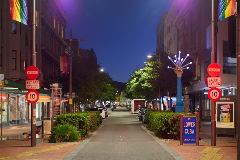
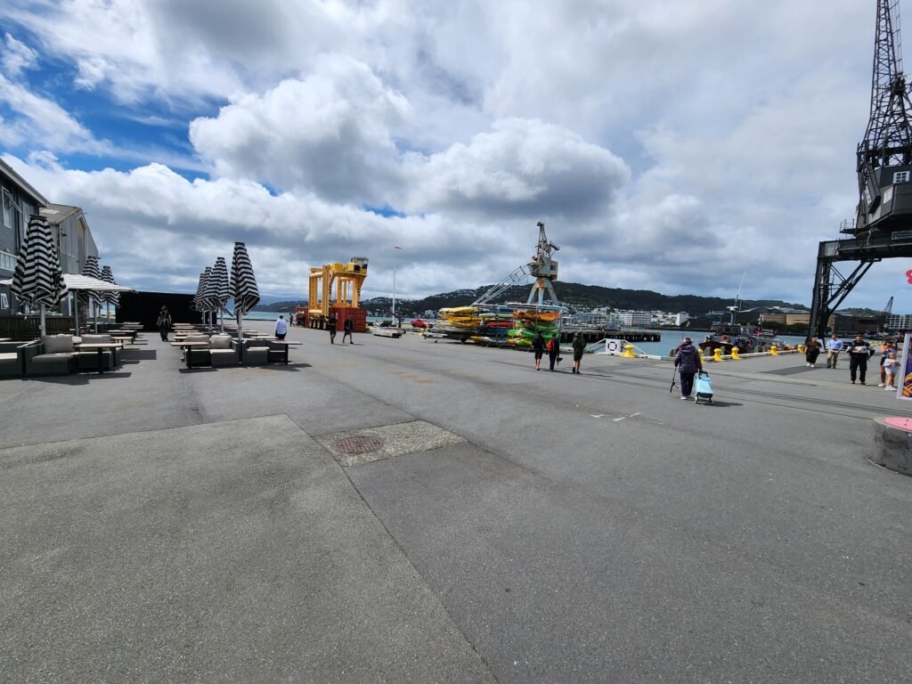
Lambton Quay feels more like a busy city street than a pedestrian precinct, but its sidewalks carry heavy visitor movement efficiently. The Cable Car’s lower terminal sits directly on this spine at 280 Lambton Quay. Farther south, Cuba Street combines roadway, shared space and pedestrianized sections along roughly 900 metres. Courtenay Place is close enough to function as the same southern central cluster. Along the harbor, the promenade offers a mostly level alternative between Queens Wharf, Te Papa and the Oriental Bay direction.Its waterfront setting also makes the route easy to follow while providing a mostly level alternative to inland streets.
Kelburn and Mount Victoria Change the Effort
The flatter central strip can disguise how abruptly Wellington rises behind it. The Cable Car gains about 119 metres between Lambton Quay and Kelburn in only a few minutes. That makes it excellent transit, not evidence that Kelburn belongs inside the level pedestrian core. The Botanic Garden is well suited to a one-way descent after riding uphill. Mount Victoria is a tougher extension. Its published walkway reaches roughly 197 metres and includes steep grades, steps, dirt, roots and shared trail sections. Route 20 can remove the uphill approach when time or energy matters more than walking the climb.
Best Areas to Stay Without a Car
Lambton Quay and the Parliament end work best for rail arrivals, the Cable Car and the northern waterfront. Te Aro and Cuba Street give the most balanced base for Te Papa, Courtenay Place and central evening returns. The waterfront near Te Papa is ideal when the promenade and museums matter most. Oriental Bay remains connected on foot, but it adds daily distance to Parliament and Wellington Railway Station. A central base matters because it keeps buses optional for most daytime sightseeing.
Useful Walking Times
Wellington Railway Station to Parliament: about 500 metres, or roughly 7–10 minutes for many visitors. Railway Station to Te Papa: about 20 minutes. Te Papa to Cuba Street: roughly 10–12 minutes as a practical planning estimate. Te Papa to western Oriental Bay: roughly 15–20 minutes along the waterfront. Kelburn terminal to downtown through the Botanic Garden: about 40 minutes before longer garden detours. These are practical planning estimates rather than guaranteed walking times.
A 2-Day Walking Route
Day 1: Station to Parliament, Waterfront and Te Aro
Walking route
Day 1: Station, Parliament, waterfront and Te Aro
- Wellington Railway Station
- New Zealand Parliament
- Old Government Buildings
- Wellington Cable Car Lambton Quay Terminal
- TSB Arena / Queens Wharf
- Whairepo Lagoon / Taranaki Wharf
- Museum of New Zealand Te Papa Tongarewa
- Bucket Fountain / Cuba Mall
- Courtenay Place
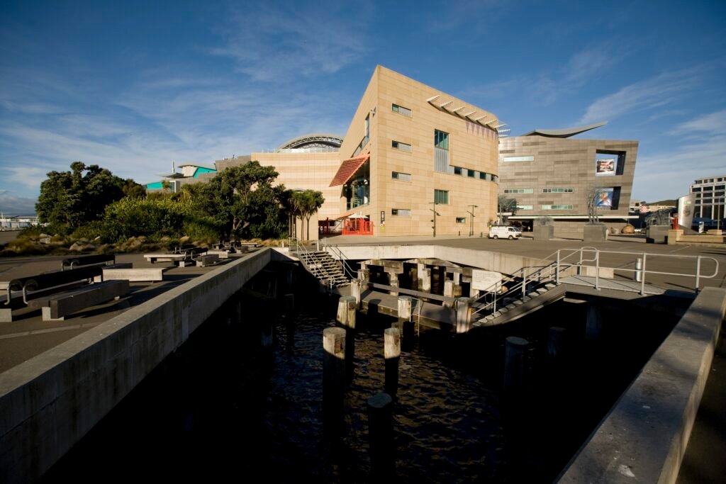
Start at Wellington Railway Station and walk first to Parliament, keeping the northern cluster together before heading south. Old Government Buildings lead naturally into Lambton Quay and the Cable Car’s lower terminal. At Queens Wharf, shift onto the waterfront rather than continuing down parallel central streets. Follow the promenade through Whairepo Lagoon and Taranaki Wharf to Te Papa. After the museum, turn inland once for Cuba Street and finish around Courtenay Place. The route avoids repeating the CBD while demonstrating how closely the core anchors connect.
Day 2: Cable Car, Botanic Garden and a Downhill Return
Walking route
Day 2: Cable Car, Kelburn and Botanic Garden descent
- Kelburn Cable Car Terminal
- Wellington Cable Car Museum
- Wellington Botanic Garden Cable Car Entrance
- Lady Norwood Rose Garden
- Bolton Street Cemetery
- New Zealand Parliament
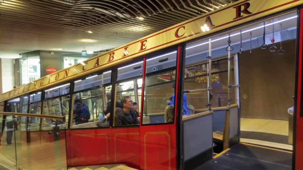
Ride the Cable Car from Lambton Quay to Kelburn before the mapped walk begins. From the upper terminal, enter the Botanic Garden and choose mapped downhill paths toward the rose garden and Bolton Street. Finish near Parliament rather than climbing back to Kelburn. For a longer afternoon, choose one extension rather than forcing both. Oriental Bay offers the easier waterfront option after a short bus reposition. Mount Victoria is the more strenuous alternative, with Route 20 useful when you want the lookout without the full uphill walk.
Using Buses and the Cable Car
Metlink buses are the main backup when Wellington’s hills or outer neighborhoods exceed a comfortable walking day. Contactless Visa and Mastercard payments now work on buses and trains, simplifying occasional visitor trips. The current contactless system still prices separate adult trips and does not provide free transfers. Cable Car tickets are separate. The Cable Car runs every 10 minutes, with published service extending later on Friday and Saturday than Sunday. Use buses for Mount Victoria, Oriental Bay or outer accommodation, while keeping the central spine primarily pedestrian.
Arriving at Wellington Airport Without a Car
Airport Express provides the simplest public-transport connection from Wellington Airport to central Wellington. It runs seven days between the terminal and Wellington Railway Station through Courtenay Place, the CBD and Lambton Quay. Most of the day, service is approximately every 10–20 minutes. The trip usually takes about 25–35 minutes, depending on traffic. Buses provide luggage space, and the airport stop is close to Door E. Central stops sit within a short walk of many hotels, so a transfer is usually unnecessary for a well-located stay.
When a Car Helps
A private car adds little to the standard Parliament-waterfront-Te Aro weekend. Parking and central traffic can create more friction than they solve. A car becomes more useful when the itinerary prioritizes several outer destinations in a short period. Wētā Workshop in Miramar, Red Rocks and wider regional trips sit outside the compact central geography. Zealandia and Wellington Zoo remain workable by public transport or shuttle planning, so they do not automatically require a rental car.
Walking Limitations and Practical Tips
Respect the hills: Kelburn and Mount Victoria are genuine climbs, even when their map distances look short. Use the Cable Car strategically: ride uphill and walk down through the Botanic Garden instead of duplicating the climb. Watch shared spaces: waterfront and trail sections can mix pedestrians with cyclists or other users. Check current civic access: construction and venue works around Te Ngākau can occasionally alter local walking routes. Plan accessibility route by route: Cable Car terminals are accessible, but garden and Mount Victoria paths vary substantially.
Seasonal Walking Conditions
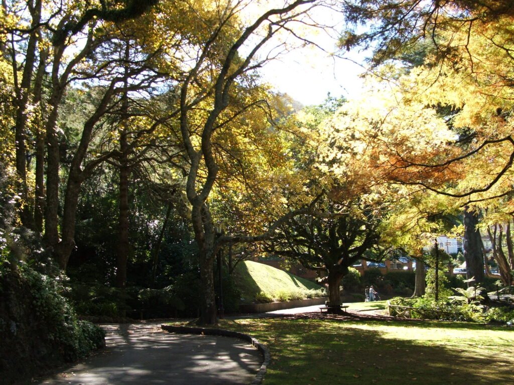
Wind is one of Wellington’s biggest walking variables because the waterfront and exposed hilltops can feel very different from sheltered central streets. Rain and cooler conditions can also make hill extensions less comfortable. Carry a light windproof layer and keep exposed walks such as Mount Victoria flexible when the forecast is unsettled.
Bottom Line
A two- or three-day first visit works best by treating Wellington as a compact central spine with deliberate hill extensions. Walk Parliament, Lambton Quay, the waterfront, Te Papa, Cuba Street and Courtenay Place as one connected network. Use the Cable Car and buses when the route turns upward toward Kelburn or Mount Victoria. Oriental Bay is a natural optional extension rather than a required central stop. For outer attractions or regional excursions, add targeted transit or a car only when the itinerary genuinely needs it.