
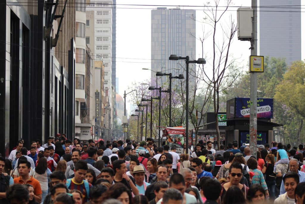
Across a metropolis too large for continuous sightseeing walks, several Mexico City districts offer excellent pedestrian exploration. Centro Histórico delivers the tightest concentration, with Madero linking Bellas Artes, the Zócalo, and major historic sights on foot. Farther west, Paseo de la Reforma leads toward Chapultepec, but its scale and wide crossings slow the pedestrian rhythm. Roma Norte and Condesa form another comfortable walking zone, with tree-lined streets, parks, restaurants, and clear neighborhood landmarks. Those districts connect best when transit handles the longer gaps. The result is a weekend built around focused walks, not one giant citywide route.
How Mexico City’s Walkable Clusters Fit Together
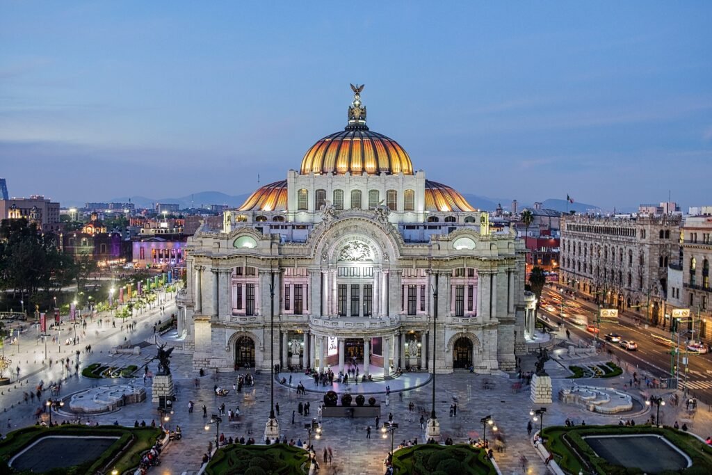
Centro Histórico is the clearest walk-first district. Alameda Central and Bellas Artes sit beside the western end of Madero, which runs directly toward the Zócalo. The Zócalo itself has a permanent pedestrian designation, while Madero remains exclusively pedestrian. That distinction matters because nearby streets such as 5 de Mayo and Tacuba still carry traffic. Within this cluster, the Cathedral and Templo Mayor add only a few minutes of walking.
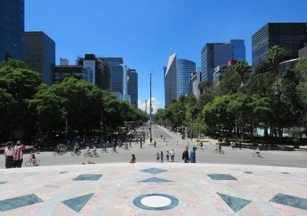
Reforma and Chapultepec form a different environment. Reforma offers broad, tree-lined sidewalks and a strong visual axis, but its width changes crossing pace. The Sunday car-free program is useful context, not the everyday street condition. Chapultepec begins naturally from Reforma and Condesa, yet the park is too large to count as one compact attraction point. The Anthropology Museum, Castle and other venues can add substantial internal mileage.
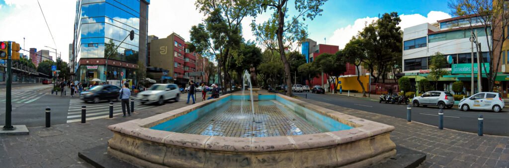
Roma Norte and Condesa work best as their own neighborhood walking cluster. Tree-lined streets, plazas, Parque México and Parque España create frequent places to pause. Restaurants, cafés and galleries keep most everyday visitor needs close to the route. Insurgentes is a major dividing avenue, so crossings and exact hotel position matter. This area is highly walkable without being an extension of the Zócalo pedestrian core.
Polanco deserves a narrower interpretation. The southern edge and Anthropology Museum area can connect on foot, but the whole district is not part of Chapultepec compactness. Coyoacán, Xochimilco and the Basílica de Guadalupe are clearer outer destinations. They may be walkable after arrival, but Metro, Metrobús or other public transport should handle the cross-city transfer.
Best Areas to Stay for Walking
Reforma and Zona Rosa offer the most balanced first-time position between Centro, Chapultepec and Roma. Roma Norte and Condesa are stronger for neighborhood walking, cafés, restaurants and evening returns on foot. Centro Histórico puts the densest historic sights at your door. No base makes every major attraction walkable, so choose the cluster you expect to use most and keep transit nearby.
Useful Walking Times
These are practical planning estimates rather than guaranteed walking times. Alameda Central to Bellas Artes: about 5 minutes. Bellas Artes to the Zócalo via Madero: about 15 minutes. Zócalo to Templo Mayor: about 5 minutes. Bellas Artes to the Ángel: about 40–50 minutes. Ángel to Plaza Río de Janeiro: about 15–20 minutes. Anthropology Museum to Parque México: about 35–45 minutes.
A 2-Day Walking-Focused Route
These routes show Mexico City’s strongest pedestrian geography without turning scale into a walking challenge. Day 1 stays entirely inside Centro Histórico. Day 2 links several central-west districts because the connecting streets still add visitor value. Use Metro or Metrobús when your energy matters more than completing every segment on foot.
Day 1: Alameda, Bellas Artes, Madero and the Zócalo
Walking route
Day 1: Alameda, Bellas Artes, Madero and the Zócalo
- Alameda Central
- Palacio de Bellas Artes
- Palacio Postal
- Casa de los Azulejos
- Avenida Francisco I. Madero
- Zócalo / Plaza de la Constitución
- Catedral Metropolitana de la Ciudad de México
- Museo del Templo Mayor
Start in Alameda Central and cross to Palacio de Bellas Artes. Add Palacio Postal, then join Madero near Casa de los Azulejos. Follow the pedestrian avenue east to the Zócalo, where the Cathedral and Templo Mayor complete the route without backtracking. The listed anchors require only about 2.5–3 kilometers outdoors, so museum visits and meals can dominate the day instead of transfer mileage.
Day 2: Reforma, Roma, Condesa and Chapultepec
Walking route
Day 2: Reforma, Roma, Condesa and Chapultepec
- Ángel de la Independencia
- Plaza Río de Janeiro
- Plaza Luis Cabrera
- Parque México
- Parque España
- Puerta de los Leones, Bosque de Chapultepec
- Museo Nacional de Historia, Castillo de Chapultepec
- Museo Nacional de Antropología
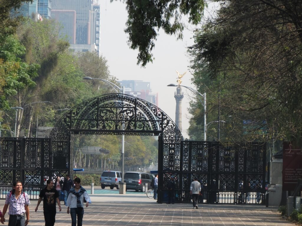
Begin at the Ángel de la Independencia, then turn into Roma Norte for Plaza Río de Janeiro and Plaza Luis Cabrera. Continue through Parque México and Parque España before entering Chapultepec at Puerta de los Leones. The Castle adds the day’s only meaningful climb, so skip it if conserving energy. Finish at the Anthropology Museum and use Metrobús Line 7 for the return rather than retracing the route.
Using Metro and Metrobús
Mexico City’s transit network is what makes the separate walking clusters practical in one short stay. Metro Line 1 serves Insurgentes, Sevilla and Chapultepec, while Metrobús Line 7 follows Reforma through El Ángel, Chapultepec and Antropología. The Movilidad Integrada card remains the simplest universal option. Metrobús also supports bank cards and NFC devices, while most Metro lines accept contactless payment.
Most rapid-transit service covers the normal sightseeing day and evening but is not universally 24 hours. Selected Metrobús routes on Lines 1, 2 and 7 run until 1 a.m. on Fridays and Saturdays. Check live service before traveling because demonstrations, events and maintenance can temporarily change routes or station access.
Arriving in Mexico City Without a Car
Mexico City International Airport (MEX) has useful public-transport links into the central districts. Terminal 1 has the Terminal Aérea Metro station, giving budget travelers direct access to the rail network. Both Terminal 1 and Terminal 2 now have the Quetzalcóatl Metrobús route through Centro Histórico to Reforma and Amajac. The airport fare is higher than a normal Metrobús trip, but the one-seat central connection reduces arrival complexity.
Terminal 2 should not be described as having the same Metro access as Terminal 1. Luggage and any onward transfer still add burden, especially for hotels away from the Line 4 corridor. AIFA is a separate secondary airport in Estado de México and sits much farther from the central visitor districts, so plan its ground transfer separately.
When a Car Helps
A rental car is unnecessary for the central weekend described here. Coyoacán, Xochimilco and the Basílica de Guadalupe are distant, but public transport remains the normal car-free solution. A car becomes more useful for multi-stop regional trips where the destinations themselves are poorly linked by public transport. Driving inside the central districts usually adds parking and traffic management rather than better sightseeing access.
Walking Limitations and Practical Tips
Do not judge every street by Madero. Central sidewalks range from generous pedestrian spaces to narrower, busier routes with surface irregularities or obstructions. Use marked crossings on Reforma and other large avenues, and expect turning traffic to affect crossing rhythm. Crowds and street commerce are part of normal city life; they become a walking limitation only when usable space materially narrows.
Chapultepec deserves its own pacing plan because park distances accumulate quickly. Mexico City’s high elevation can make a long first day feel harder for some newcomers even though most central routes are not especially hilly. Demonstrations, security perimeters and construction can also alter individual routes, so check local conditions when timing matters.
Seasonal Comfort
Weather and air quality can substantially change how much walking feels comfortable in Mexico City. Rain, strong sun or poor air-quality days are good reasons to shorten exposed segments and use transit more often.
Bottom Line
Mexico City works best as several focused walking days joined by efficient public transport. Centro Histórico provides the tightest sightseeing concentration, while Roma, Condesa, Reforma and Chapultepec add distinct central experiences. The city becomes inefficient only when a short itinerary treats distant attractions as if they belonged to one pedestrian core.