
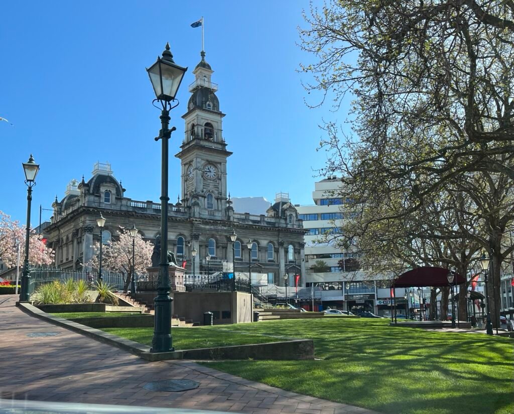
Two visitor geographies define the weekend: a tight civic core and a longer northern corridor. From the Octagon, George Street, the railway station, Toitū, and the Chinese Garden sit within a short central walking chain. Princes Street and the Warehouse Precinct continue that network south, although wider traffic streets interrupt the compact feel. Northward, Otago Museum and the university remain practical on foot, but they sit outside the tightest sightseeing cluster. The Botanic Garden adds more distance and internal slopes, while Baldwin Street is a separate bus-assisted extension. Central walking is therefore efficient, but route choice matters once the weekend reaches the city’s hills.
Why Dunedin Works Well on Foot
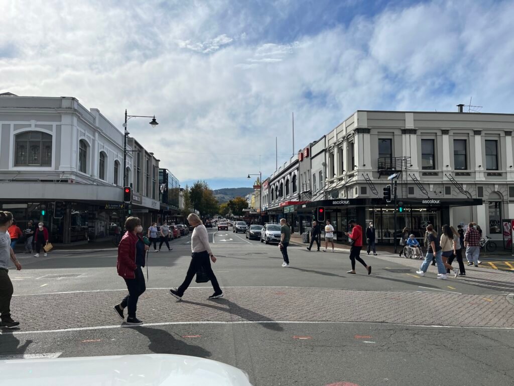
The strongest walking advantage is concentration around the Octagon. Dunedin Public Art Gallery and St Paul’s Cathedral sit directly on the square, while George Street begins immediately north. First Church, the Exchange and the Rattray Street brewery area remain short central extensions rather than separate districts. The rebuilt George Street section gives pedestrians more room and slows mixed traffic to 10 km/h, although its textured stone surfaces are not uniformly smooth.
The Railway, Toitū and Chinese Garden Form One Cluster
Dunedin Railway Station is about 500 metres from the Octagon along Stuart Street. The approach is direct, but pedestrians cross State Highway 1 before reaching the station area. Toitū sits between the station and Lan Yuan Chinese Garden, so those three stops work as one compact sequence. This southern-central cluster then feeds naturally toward Princes Street and Queens Gardens without requiring a bus.
Princes Street and the Warehouse Precinct
The Warehouse Precinct works as a natural southern extension rather than a remote second center. Bond, Water and Jetty streets include pedestrian-oriented upgrades, and the precinct begins close to Queens Gardens. Princes Street is the logical bridge from the Octagon and Exchange, although several intersections and accessibility gaps make the connection less seamless than the map suggests.
North Dunedin Is a Genuine Extension
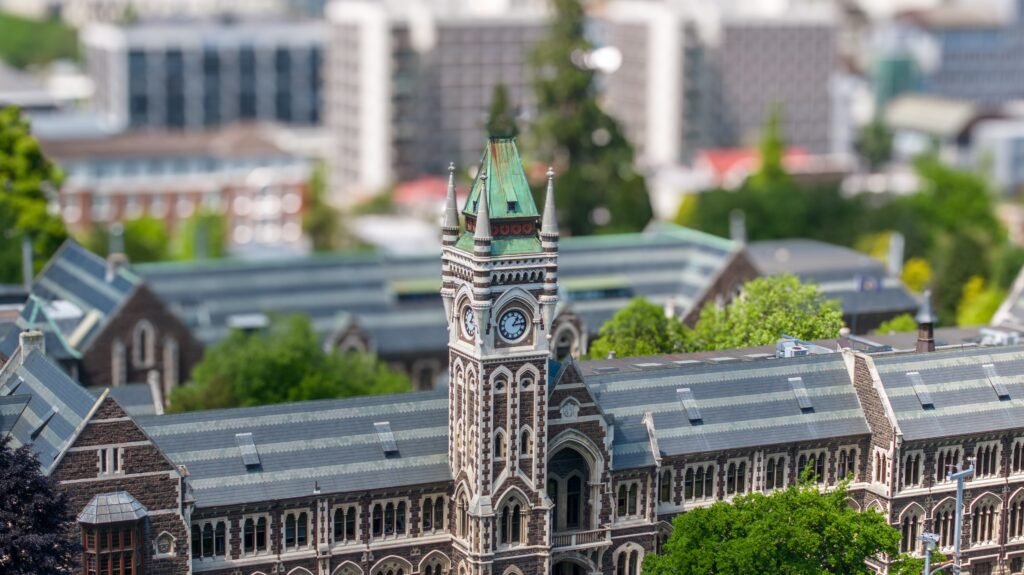
The University of Otago and Tūhura Otago Museum remain practical on foot from the Octagon, at roughly ten to fifteen minutes. The university’s central campus is pedestrian-first, and much of this north-south corridor is comparatively flat. Still, North Dunedin sits beyond the tightest central sightseeing cluster. George and Great King streets keep the route continuous, while Orbus is useful when energy or weather makes the return walk less appealing.
The Botanic Garden and Baldwin Street Change the Scale
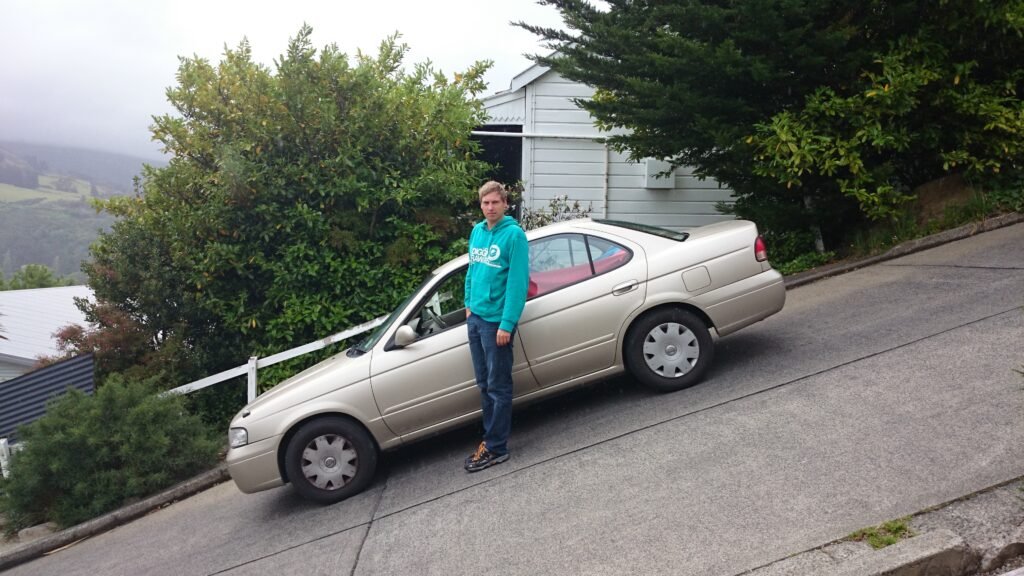
Dunedin Botanic Garden begins about two kilometres northeast of the Octagon, beyond the university and museum cluster. Its main entrance near Great King Street makes it a sensible continuation of a North Dunedin day. Inside, however, the garden climbs from lower to upper sections and includes tracks with different difficulty levels. Baldwin Street lies farther into North East Valley. A routing reference puts it about 4.2 kilometres from the Octagon, so most weekend visitors should use a bus before walking the final steep street.
Best Areas to Stay for a Walking Weekend
The Octagon and lower Princes Street are the strongest all-purpose bases. They sit between George Street, the railway museums, the Exchange and the southern edge of the core. Lower George Street also works well, especially for visitors prioritizing the university and Otago Museum. North Dunedin accommodation reduces the walk to the Botanic Garden, but it adds distance to Toitū, the Chinese Garden and the Warehouse Precinct.
Useful Walking Times Between Dunedin Sights
Railway Station: from the Octagon, about 500 metres, with official guidance describing a very short central walk. University of Otago: roughly ten minutes north of the Octagon. The Botanic Garden: about two kilometres from the Octagon, usually around 25–30 minutes at a practical visitor pace. Baldwin Street: about 4.2 kilometres and roughly 50 minutes by a routing estimate. Treat these as practical planning estimates rather than guaranteed walking times.
A 2-Day Walking Route
Day 1: George Street to the Warehouse Precinct
Walking route
Day 1: George Street, the railway museums and Warehouse Precinct
- George Street retail quarter
- The Octagon
- First Church of Otago
- Dunedin Railway Station
- Toitū Otago Settlers Museum
- Lan Yuan Dunedin Chinese Garden
- The Exchange / Princes Street
- Vogel Street / Warehouse Precinct
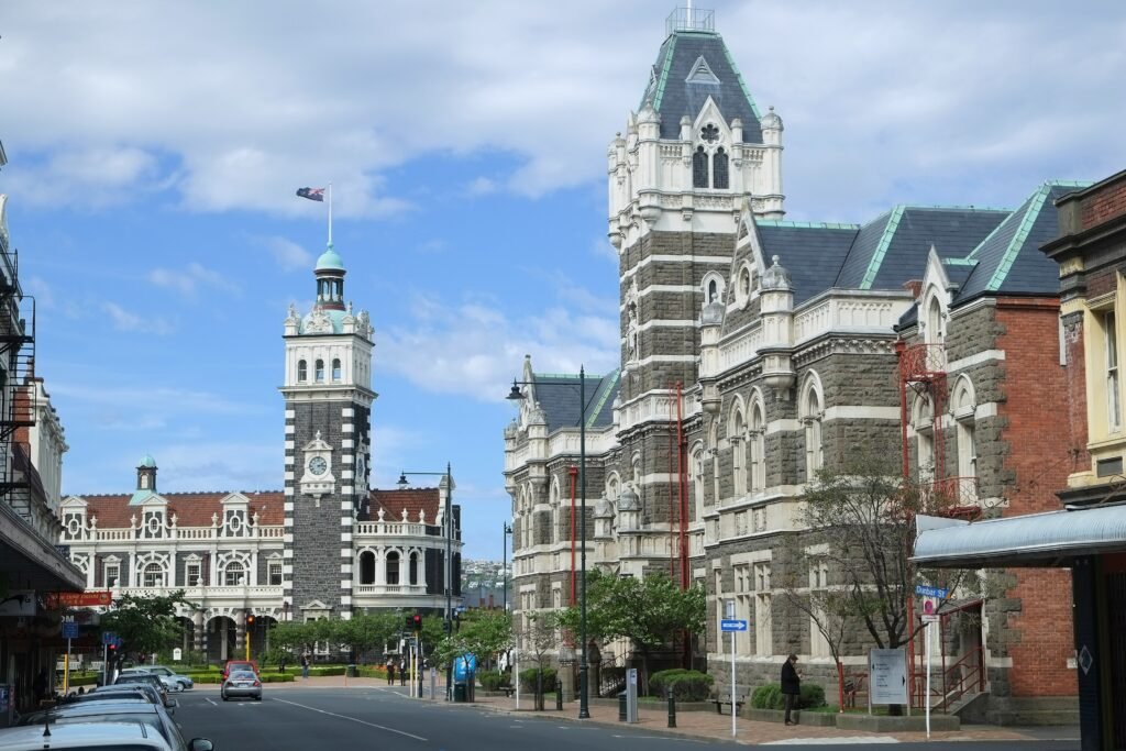
Start on George Street, then move through the Octagon before turning southeast toward First Church and the Railway Station. Continue once through Toitū and the Chinese Garden, then follow the central southern axis toward the Exchange, Princes Street and Vogel Street. This order avoids returning to the Octagon after the museum cluster and keeps the longest continuous walking day inside the compact core.
Day 2: University, Otago Museum and Botanic Garden
Walking route
Day 2: University, Otago Museum and Botanic Garden
- University of Otago Clocktower
- Tūhura Otago Museum
- Dunedin Botanic Garden — main entrance
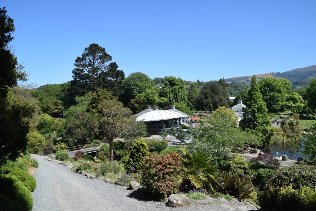
Begin at the University of Otago Clocktower, walk to Otago Museum, then continue north to the Botanic Garden’s main entrance. Explore only as much of the upper garden as your legs and schedule allow. Baldwin Street is deliberately excluded from the all-foot map. If you want it, use Route 8 toward North East Valley and walk the final local approach instead of adding a long out-and-back from central Dunedin.
When Orbus Helps
Orbus is most useful for North Dunedin, North East Valley, St Clair and longer returns after a full walking day. Route 8 runs about every 15 minutes on weekdays and every 30 minutes later or on weekends. Route 63 provides similar weekday frequency toward the university and Logan Park side. Weekend service remains useful, although Sunday frequencies and operating hours are more limited. Bee Card and cash are accepted; check Orbus before travel for current payment options.
Getting From Dunedin Airport Without a Car
Dunedin Airport sits about 22 kilometres west of the city, roughly a 30-minute road trip. There is no conventional scheduled public bus into central Dunedin, so travelers without a car generally use a prebooked shared shuttle, taxi or rideshare. Shared shuttles can deliver passengers directly to central accommodation and are useful when traveling with luggage.
When a Car Helps
A car adds much more value outside the central city than inside it. Otago Peninsula wildlife sites, Larnach Castle, Tunnel Beach and dispersed coastal viewpoints are separate excursions. St Clair is also a distinct destination, although Route 8 makes it straightforward without driving. A direct road or bus connection does not make these outer destinations part of the central walking network.
Walking Limitations and Accessibility
Compact distances do not remove every pedestrian friction. The Railway Station approach crosses State Highway 1, and Princes Street still has documented intersection and accessibility concerns. Central George Street is much more pedestrian-oriented, but its varied stone paving can feel uneven underfoot. The Botanic Garden includes real slopes even though the main central corridor is comparatively flat. Baldwin Street is an extreme local climb and should not be used to characterize every Dunedin walk.
Seasonal Walking Context
Cool temperatures, wind and rain can make long walking days less comfortable, especially on exposed hills. Wet conditions also make Orbus more useful for North Dunedin or North East Valley returns. Carry weather protection and allow extra time when surfaces are wet.
Bottom Line
Dunedin works best as a compact central walking weekend with one deliberate northern extension. The Octagon, George Street, railway museums, Chinese Garden, Princes Street and Warehouse Precinct connect efficiently on foot. North Dunedin remains manageable, while the Botanic Garden and Baldwin Street reward selective bus use. A car is unnecessary for the core weekend and becomes more useful for peninsula, beach and regional excursions.