
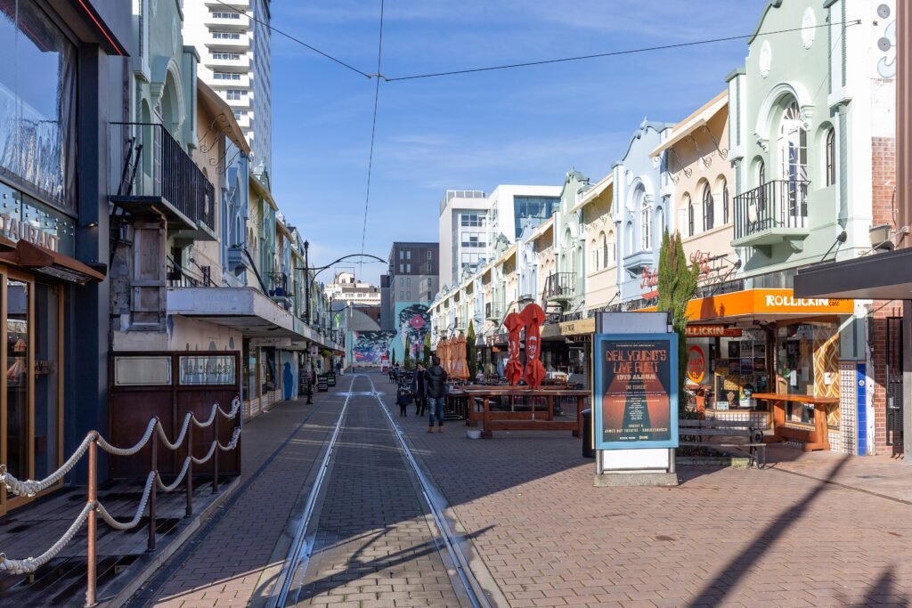
Most first-time sightseeing fits inside a compact west-east ribbon between New Regent Street and Hagley Park. Cathedral Square, Riverside Market, City Mall, the Art Gallery, and the Arts Centre sit along that short central sequence. The Avon River adds a useful pedestrian spine. Cashel Street and New Regent Street remove ordinary vehicle traffic from key stretches. The ground is notably flat, so distance matters more than climbing during normal central-city days. Walking becomes less efficient once you add Riccarton, beaches, or the Port Hills. Construction around Cathedral Square and Worcester Boulevard can occasionally interrupt an otherwise direct grid.

Why Christchurch Works Well on Foot
The central visitor core works because its main sights line up rather than scatter. New Regent Street sits only a few minutes from Cathedral Square. From there, Worcester Boulevard and the riverfront lead naturally toward Riverside Market, Cashel Street, the Art Gallery and the Arts Centre. Hagley Park and the Botanic Gardens begin immediately west of the cultural precinct. The result is a central sightseeing day that rarely needs a bus.
Several spaces also reduce ordinary traffic pressure. New Regent Street is a pedestrian mall, while City Mall restricts vehicle movement through the middle of the day. The Terrace is paved and people-focused, although trams, bicycles and permitted service vehicles still share parts of the route. That mix is better than a traffic-dominated corridor, but it is not the same as a fully separated pedestrian zone.
Cathedral Square and Worcester Boulevard
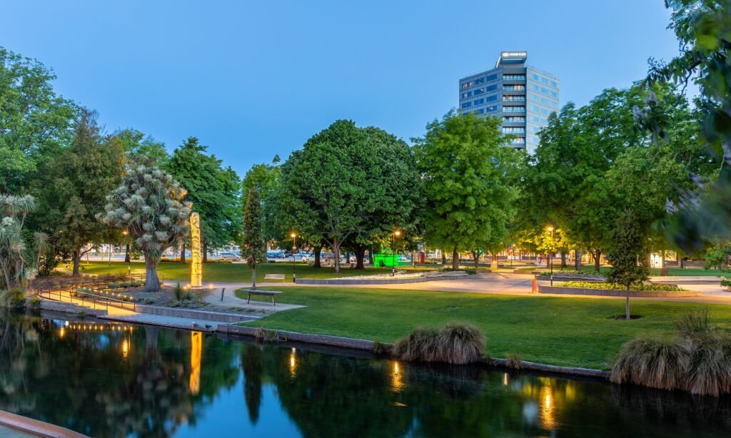
Cathedral Square remains the logical orientation point, although public-realm and cathedral works can change the most direct pedestrian routes around the square and Worcester Boulevard. Follow signed detours and check current access before relying on a specific path through the precinct.
Riverside, Cashel Street and the Arts Precinct
Riverside Market, The Terrace, City Mall and the Bridge of Remembrance form one compact pedestrian cluster. The riverfront gives the area an obvious line of travel, while Cashel Street carries you west without a long detour. Signalized streets still interrupt the route, and tram tracks appear in several shared spaces. Crowds can slow the retail blocks, but the underlying distances remain short.
The cultural precinct continues that westward sequence. Christchurch Art Gallery stands at Worcester Boulevard and Montreal Street, then the Arts Centre occupies the next major block. The Botanic Gardens and Hagley Park begin directly beyond Rolleston Avenue. This adjacency is the strongest evidence that Christchurch’s core works as one walking network.
Canterbury Museum During Redevelopment
The main Canterbury Museum building on Rolleston Avenue is closed for redevelopment, with reopening currently planned for mid-2029. During the work, the museum operates a pop-up at 66 Gloucester Street. Quake City at 299 Durham Street North and Ravenscar House at 52 Rolleston Avenue remain separate visitor venues. Plan around the places currently open rather than expecting access to the main Rolleston Avenue building.
Hagley Park and the Botanic Gardens on Foot
The Arts Centre meets the Botanic Gardens at Rolleston Avenue, so there is no transport gap between culture and parkland. Council’s Botanic Gardens River Walk runs 1.5 kilometers from the Rolleston Avenue entrance to Armagh Street. It takes about 30 minutes one way and is suitable for wheelchairs and strollers. Hagley Park adds much longer perimeter paths if you want more distance.
For walkers, the practical issue is shared-path interaction rather than the amount of cycling infrastructure. Inside the Botanic Gardens, bicycles are prohibited and riders must dismount. In Hagley Park, bikes share some pathways with walkers, so extra awareness around cyclists is useful.
Best Areas to Stay for Walking
A central-city stay is the practical choice. Cathedral Square and New Regent Street suit visitors prioritizing the eastern core and tram loop. Riverside and Cashel Street place the Bus Interchange, riverfront and retail precinct close together. The Arts Centre and Hagley Park edge work well for gardens, galleries and quieter western access. None of these central bases requires a car for the two-day route below.
Walking Times Between Major Sights
Cathedral Square to New Regent Street is about 3–4 minutes, while Riverside Market is roughly 6–8 minutes from the square. Riverside to the Bridge of Remembrance takes only a few minutes. From the bridge, allow about 6–8 minutes to the Art Gallery. The Gallery and Arts Centre are roughly 2–4 minutes apart, with the Botanic Gardens entrance another short block away. These are practical planning estimates rather than guaranteed walking times.
A 2-Day Walking Route
Day 1: The Central Spine to Hagley Park
Walking route
Day 1: New Regent Street to Hagley Park
- New Regent Street
- Cathedral Square
- The Terrace
- Riverside Market
- Bridge of Remembrance
- Christchurch Art Gallery Te Puna o Waiwhetū
- The Arts Centre Te Matatiki Toi Ora
- Christchurch Botanic Gardens — Rolleston Avenue entrance
- Hagley Park — Rolleston Avenue edge
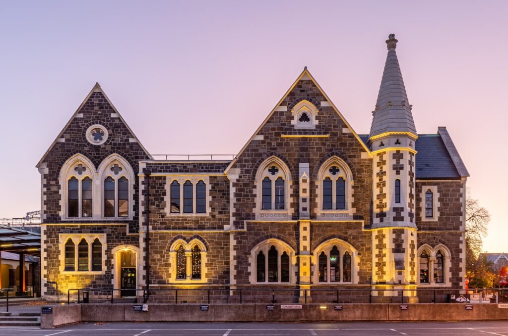
Start on New Regent Street, then walk through Cathedral Square before turning toward the river. Continue along The Terrace to Riverside Market and Cashel Street, crossing the Bridge of Remembrance. From there, keep moving west to Christchurch Art Gallery and the Arts Centre. Finish at the Rolleston Avenue edge of the Botanic Gardens and Hagley Park. This order keeps the day moving in one direction instead of repeatedly crossing the center.
Day 2: Civic Christchurch and the Gardens
Walking route
Day 2: Town Hall, museum stops and the Botanic Gardens
- Christchurch Town Hall
- Victoria Square
- Canterbury Museum Pop-Up
- Quake City
- Christchurch Botanic Gardens — Armagh Street entrance
- Botanic Gardens River Walk
- Ravenscar House Museum
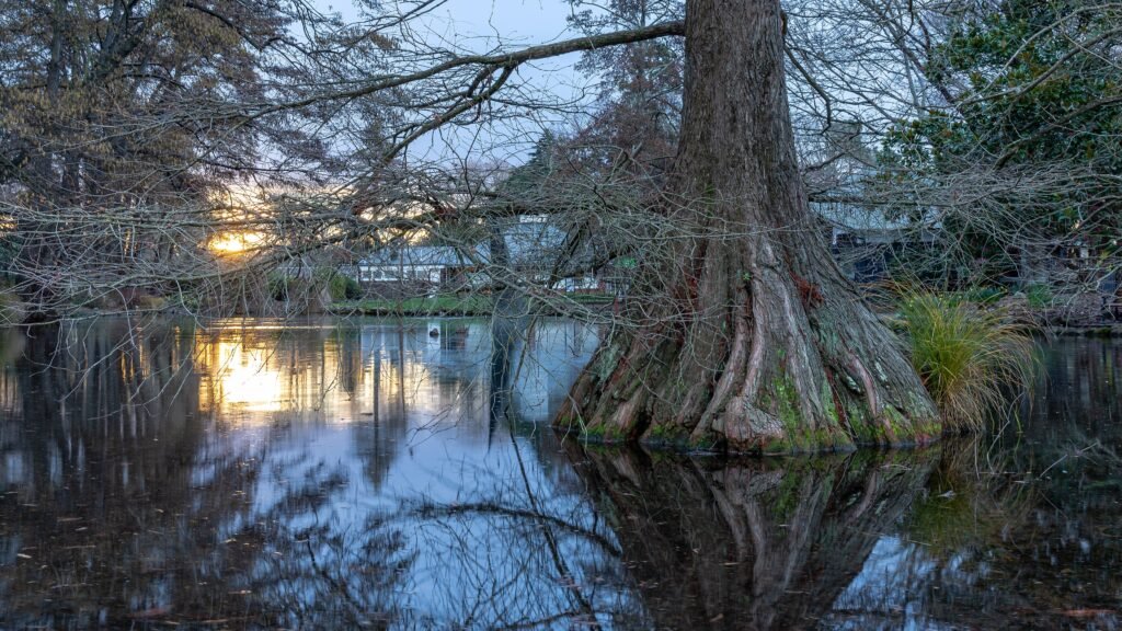
Begin at Christchurch Town Hall and walk through Victoria Square. Continue to the Canterbury Museum Pop-Up at 66 Gloucester Street, then Quake City on Durham Street North. From there, head west to the Armagh Street entrance of the Botanic Gardens. Follow the official River Walk through the gardens toward Rolleston Avenue, finishing at Ravenscar House. Margaret Mahy Family Playground is a useful optional branch from the river promenade, especially for families.
Using Metro Buses and the Heritage Tram
Metro buses are the practical backup when a destination falls outside the central core. Six high-frequency routes serve the Bus Interchange or Manchester Superstop, with important corridors running about every 10–15 minutes. Current contactless fares cost NZ$3 for a standard bus trip, and fare caps apply. Free transfers within two hours make occasional connections easier.
The heritage tram is useful in a different way. It runs an 18-stop central sightseeing loop, with all-day hop-on access and live commentary. Current adult tickets cost NZ$42, and normal hours are 9am–5pm. Its frequency is reasonable for sightseeing, but its price, loop design and limited span mean it should not be treated like a citywide transit network.
Arriving from Christchurch Airport Without a Car
Route 29 is the simplest public-transport link between Christchurch Airport and the central city. It runs directly from Christchurch Airport to the central Bus Interchange, generally every 30 minutes. The scheduled journey is about 30 minutes, and contactless bank cards or mobile wallets work onboard. Once at the interchange, many central hotels and visitor areas are within a short final walk.
Route 29 is the simplest airport option for a central stay. Other airport buses serve different corridors, but Route 29 already reaches the Bus Interchange directly. The one-seat journey keeps transfer and luggage burden low for most central arrivals.
When a Car Helps
A car becomes more useful when the itinerary extends beyond Christchurch’s central walking and bus network. Riccarton and Mona Vale are separate urban destinations, while Sumner and New Brighton are coastal trips. The International Antarctic Centre sits near the airport, and the Christchurch Gondola is an outer Port Hills excursion. Metro can reach several of these places, but bus access does not make them part of the central pedestrian core.
Akaroa, Arthur’s Pass and other regional trips sit well beyond a normal central Christchurch weekend. Plan those separately rather than using them to judge everyday movement around the city.
Walking Limitations and Practical Tips
The biggest current friction is construction rather than terrain. Check Cathedral Square and Worcester Boulevard works before relying on the shortest line through the center. Shared streets around Oxford Terrace also deserve attention because pedestrians can encounter trams, bicycles and service vehicles. At major intersections, use the signal crossings rather than treating the low-rise grid as automatically traffic-free.
The flat central terrain makes long days physically easier, but Hagley Park can add substantial mileage. Its North Hagley perimeter alone measures 4.5 kilometers. Choose a garden loop deliberately instead of assuming every park path is a shortcut.
Seasonal Walking Context
Christchurch remains easy to explore on foot throughout the year, but wind, rain and seasonal temperatures change comfort. Spring weather can be variable, while shorter winter daylight can make longer park walks less appealing. Check the forecast before committing to extended outdoor routes.
Bottom Line
Christchurch is strongest when a weekend stays focused on the compact central ribbon from New Regent Street to Hagley Park. Short blocks, pedestrian malls, river paths and very easy terrain support long sightseeing walks. Metro buses are useful for the airport and separate outer districts, while the heritage tram is optional sightseeing. A car adds value mainly for dispersed coastal, hill or regional excursions.