
Between the harbor and Aotea Square, the main visitor spine is compact enough to explore almost entirely on foot. Lower Queen Street meets Waitematā Station, Commercial Bay, and the ferry terminal within a few blocks. Westward, a mostly flat waterfront walk links the Maritime Museum, Viaduct Harbour, Wynyard Crossing, and Silo Park. The character changes quickly inland, where streets climb toward Albert Park and Karangahape Road. Ponsonby and Auckland Domain sit beyond this compact core and require more effort. Frequent buses cover steeper or less rewarding gaps, keeping a two-day itinerary practical without excessive mileage.
How Auckland’s Visitor Core Fits Together
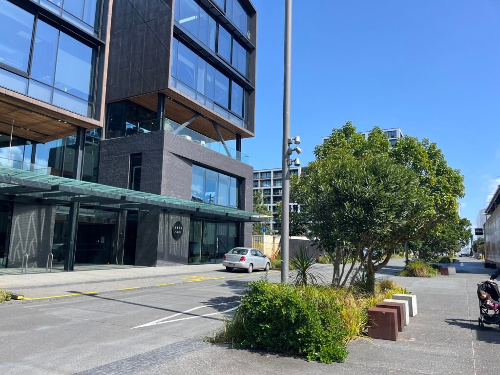
Waitematā Station, still widely known as Britomart, is the clearest anchor for a first visit. Commercial Bay and the Ferry Building sit almost beside it, while the waterfront runs west toward Viaduct Harbour. Auckland Transport gives Wynyard Quarter and Silo Park as a 10–15 minute walk from Waitematā. The route follows Quay Street, Te Wero Island and Wynyard Crossing. The bridge reopened in December 2024 after a major overhaul, restoring the direct pedestrian connection to Wynyard. From there, Federal Street and Sky Tower are straightforward inland targets, although the route begins gaining height.
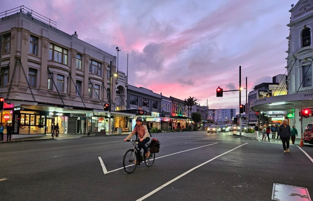
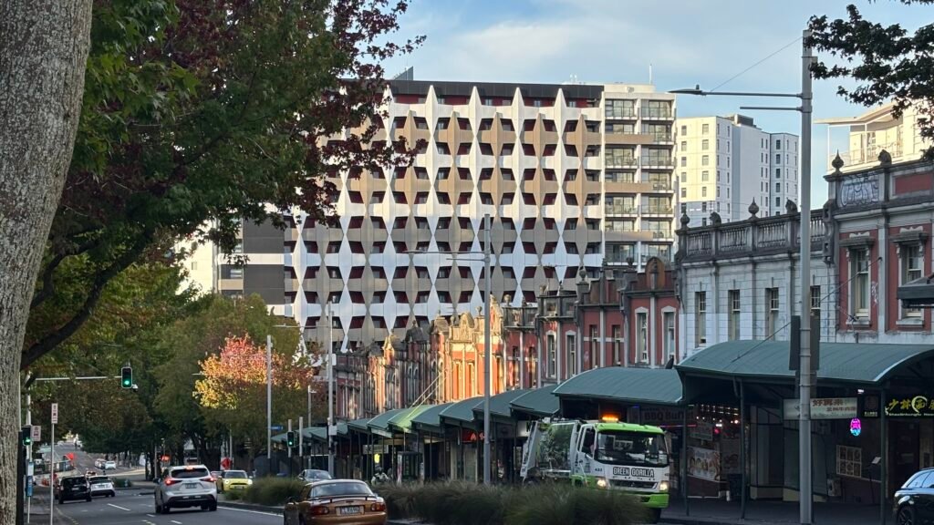
Queen Street provides the main north–south spine. Its redesigned sections have wider footpaths, a narrower roadway and separate space for riders. Lower Queen feels easier than the climb toward Aotea Square and K Road. Auckland Art Gallery sits about 15 minutes from Waitematā, with Albert Park immediately above it on higher ground. Short cross-city distances can therefore demand more effort than a flat map suggests. K Road remains a genuine uphill extension rather than part of the waterfront core.
Where to Stay for the Easiest Walking
Britomart and lower Queen Street make the strongest all-round base for a first visit. You begin beside the rail station, ferry terminal, Commercial Bay and the eastern waterfront. Viaduct or Wynyard stays favor the waterfront but add distance to Aotea and K Road. Federal Street and Aotea offer a useful middle position between the harbor and upper city. Parnell works well for the Domain and museum, but it is less convenient for repeated waterfront walks. Central listings around Britomart, Albert Street and Federal Street confirm that visitors have substantial accommodation choice inside the main walking network.
Useful Walking Times
Waterfront: Waitematā Station to Wynyard Quarter or Silo Park takes about 10–15 minutes.
Aotea Square: From Waitematā Station, allow about 10–15 minutes, depending on the exact endpoint.
Auckland Art Gallery: The walk from Waitematā Station takes about 15 minutes.
K Road: Official visitor information gives about 13 minutes to a central Queen Street reference point.
Ponsonby: Allow about 30 minutes from the city center.
Parnell to Auckland Museum: Allow about 10 minutes. Treat these as practical planning estimates rather than guaranteed walking times.
A 2-Day Walking Route
Day 1: Waterfront to Wynyard, then Midtown
Walking route
Day 1: Britomart, waterfront, Wynyard and midtown
- Waitematā Station (Britomart)
- Commercial Bay
- Auckland Ferry Building
- New Zealand Maritime Museum
- Viaduct Harbour
- Wynyard Crossing
- Karanga Plaza
- Silo Park
- Sky Tower
- Aotea Square
Begin at Waitematā Station and cross Te Komititanga to Commercial Bay and the Ferry Building. Continue west along Quay Street to the New Zealand Maritime Museum, then stay on the waterfront through Viaduct Harbour. Cross Wynyard Crossing and continue through Karanga Plaza to Silo Park. This entire section is the city’s easiest long visitor walk, with little elevation compared with the inland streets. From Silo Park, turn inland once and work back through Victoria Park toward Federal Street and Sky Tower. Finish at Aotea Square rather than returning to Britomart, which avoids unnecessary backtracking.
Day 2: Albert Park, K Road, Domain and Parnell
Walking route
Day 2: Art Gallery, Albert Park, K Road, Domain and Parnell
- Auckland Art Gallery Toi o Tāmaki
- Albert Park
- University of Auckland ClockTower
- St Kevins Arcade
- Auckland War Memorial Museum
- Auckland Domain Wintergardens
- Parnell Village
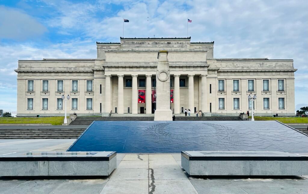
Start at Auckland Art Gallery, then climb through Albert Park into the University of Auckland precinct. Continue toward Karangahape Road on foot so the route reflects the real inland rise. After K Road, use a frequent bus toward the Domain area instead of spending time on a long cross-city connector. Explore Auckland War Memorial Museum and the Domain paths, then finish by walking toward Parnell Road. An InnerLink or another suitable AT service can take you back downtown. Ponsonby is better saved for a separate extension unless it is a personal priority.
When Transit Saves Time
Auckland’s central buses are unusually useful for a short visit because they follow the same corridors travelers naturally need. CityLink runs between Wynyard Quarter and K Road via Queen Street, with weekend service every 10 minutes to midnight. InnerLink covers Parnell, Newmarket, K Road, Ponsonby, Victoria Park and the downtown loop. OuterLink passes the university and Auckland War Memorial Museum. Contactless bank cards and smart devices work on buses, trains and most ferries, so occasional rides do not require a dedicated travel card.
Ferries expand the weekend without shrinking Auckland’s geography. Devonport is an easy inner-harbor excursion from the Downtown Ferry Terminal, but it remains a separate walking area. Waiheke requires roughly 40 minutes by ferry and deserves its own half-day or day. Fullers360 Waiheke services also sit outside AT’s standard contactless-payment coverage. Mission Bay and Kelly Tarlton’s are similarly separate eastern extensions, although TāmakiLink makes them straightforward to reach.
Arriving from Auckland Airport Without a Car
A practical public-transport route from Auckland Airport uses the AirportLink bus to Puhinui Station, followed by a train toward central Auckland. The bus has luggage space, and contactless payment works across both AT legs. The journey requires a transfer, so check Auckland Transport for the current rail pattern and allow enough time when traveling with luggage.
When a Car Helps
A private car adds little to the standard central weekend and can create parking friction. It becomes more useful for outer or regional plans that sit beyond Auckland’s strongest transit-and-walking pattern. Mount Eden, One Tree Hill, Mission Bay and Kelly Tarlton’s are reachable without driving, but they are not downtown walking stops. Devonport and Waiheke are naturally ferry trips. Western beaches and wider regional excursions are the clearest cases where a car can save substantial time or simplify a multi-stop day.
Walking Limitations and Practical Tips
Plan the waterfront and lower Queen Street for the flattest walking. Save K Road, Albert Park, Parnell and the Domain for times when you have more energy. Large intersections can add signal waits, and shared walking-and-cycling spaces require attention to other users. Wynyard Crossing is the most direct pedestrian link between the Viaduct and Wynyard; its mechanical operation can occasionally interrupt that line. Construction or special events can change local routing, so check current notices when planning around Wynyard or other active areas.
Seasonal Walking Conditions
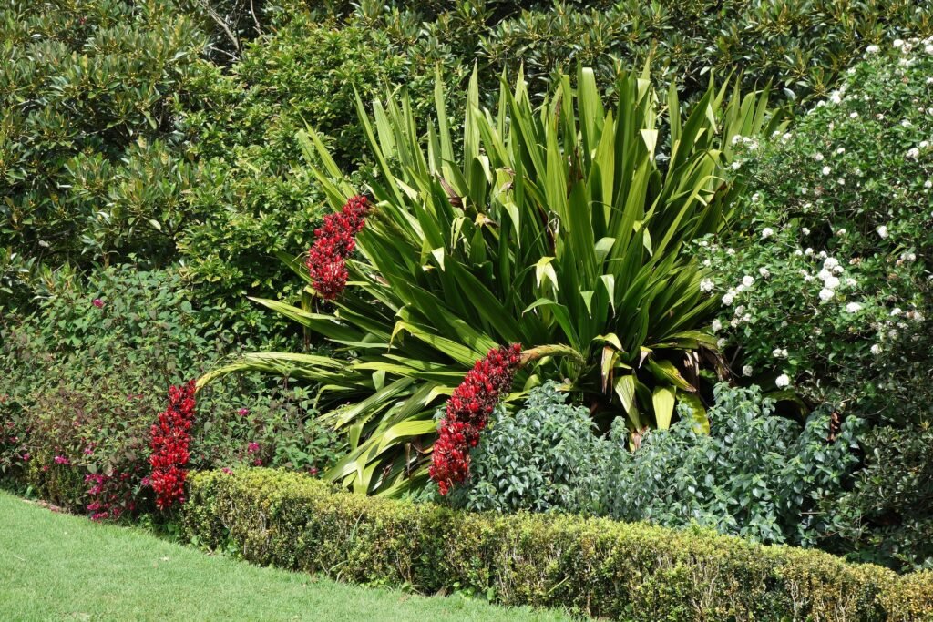
Spring in Auckland is increasingly mild, with longer evenings, but wind, sunshine and showers can arrive on the same day. Carry a light waterproof layer and sun protection, especially on exposed waterfront sections. Summer sun can make uphill segments feel harder, while winter is cooler and wetter. The same central routes remain useful year-round with sensible timing, clothing and weather protection.
Bottom Line
Auckland works best as a compact downtown-and-waterfront walk supported by frequent buses for the hills and inner suburbs. Britomart, Queen Street, Viaduct Harbour and Wynyard Quarter can fill a strong first day almost entirely on foot. The second day needs more selective routing because K Road, Ponsonby and Auckland Domain sit beyond that easy core. Stay central, use Link buses when elevation or distance stops adding value, and keep ferry destinations as separate excursions.